


Hardwick Village, United Kingdom
Hardwick Village is a town of 1,881 people in England, United Kingdom.
Why visit Hardwick Village
Townapedia lists 2 museums and landmarks, 5 parks and trails, 3 places to eat and 2 places to stay in and around town.
Highlights include Royal Lancers and Nottinghamshire Yeomanry Museum, Walled Kitchen Garden and Clumber Park.
Weather in Hardwick Village
Forecast from MET Norway (CC BY 4.0). Full forecast
About Hardwick Village
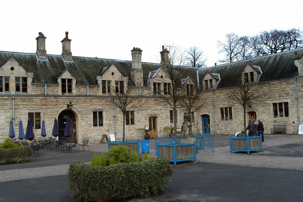
Hardwick is a rural settlement located in the civil parish of Clumber and Hardwick, within the Bassetlaw district area of Nottinghamshire. It is within Clumber Park, part of a greater area known as The Dukeries. It consists of former labourers' cottages and a couple of farms, including Hardwick Grange.
From the Wikipedia article Hardwick Village (this version), under CC BY-SA 4.0.
Museums and landmarks2

Royal Lancers and Nottinghamshire Yeomanry Museum
Museum · 2.7 mi
Military museum near Ollerton, Newark, Nottinghamshire, United Kingdom

Parks, trails and playgrounds5


Clumber Park
Park · 0.9 mi
Estate in Worksop, Nottinghamshire, England, UK
Restaurants and cafes3

Central Bark Dog Cafe
Cafe · 1.0 mi
Dog friendly cafe. They have water bowls, biscuits and hooks on the wall so you can tie your dog up.
Mo-Sa 09:00-16:00
Where to stay2

History
The settlement was created by the landowners, the Dukes of Newcastle, in the later part of the Nineteenth century to serve the Park and estate of Clumber. It was designed on a picturesque, Neo-Elizabethan style, with an asymmetrical aspect designed to give the impression of a traditional village which had grown ad hoc, and to no particular plan.
Since the acquisition of Clumber Park by the National Trust, the village has been under a Covenant of the National Trust, and the village properties under tenancy, rather than tied cottages provided as homes for employees, as previously under the Dukes of Newcastle. Today commuters can be found living in the cottages, rather than estate/farm labourers, though the principal farm, Hardwick Grange, continues to work the land.
From the History section of Hardwick Village on Wikipedia, under CC BY-SA 4.0.
Churches and places of worship5
Shopping2
Map of Hardwick Village
19 places. The map loads OpenStreetMap tiles when you open it.
Getting there and nearby towns
RAF Waddington (WTN) is the nearest airport with scheduled flights listed in OpenStreetMap, 23 miles away.
- Worksop 4 mi northwest, about 6 min by car
- Babworth 4 mi northeast, about 7 min by car
- Retford 5 mi northeast, about 9 min by car
- Boughton 6 mi southeast, about 9 min by car
- East Markham 6 mi east, about 10 min by car
- Woodsetts 7 mi northwest, about 12 min by car
- Blyth 7 mi north, about 12 min by car
- Clarborough 8 mi northeast, about 12 min by car
- Shirebrook 9 mi southwest, about 14 min by car
- Dinnington 9 mi northwest, about 15 min by car
Drive times are estimates from straight-line distance, not routes.
Towns near Hardwick Village


Keep exploring
Local news
Headlines from INDB.
Reviews, tips and questions
Loading what members have shared...
Sources and licences
- GeoNames (CC BY 4.0): population, coordinates, regions and time zone
- Mapillary (see each image): photos
- OpenStreetMap contributors (ODbL 1.0): places, airports, map data
- Wikidata (CC0 1.0): elevation, founding date, time zone, website, landmarks and historic places
- Wikimedia Commons (see each image): photos
- Wikipedia (CC BY-SA 4.0): overview and history text
Photo credits
- ThoresbyCourtyard, Lancer2011, CC BY-SA 3.0
- St Giles Church, Piper Lane, Carburton (12), Enchufla Con Clave, CC BY-SA 4.0
- Garden and Greenhouse, Veggiebacon, CC BY-SA 4.0
- Street-level photo, victuallers, CC BY-SA 4.0
Page built November 10, 2026. Spotted a mistake? Tell us or suggest a place.