


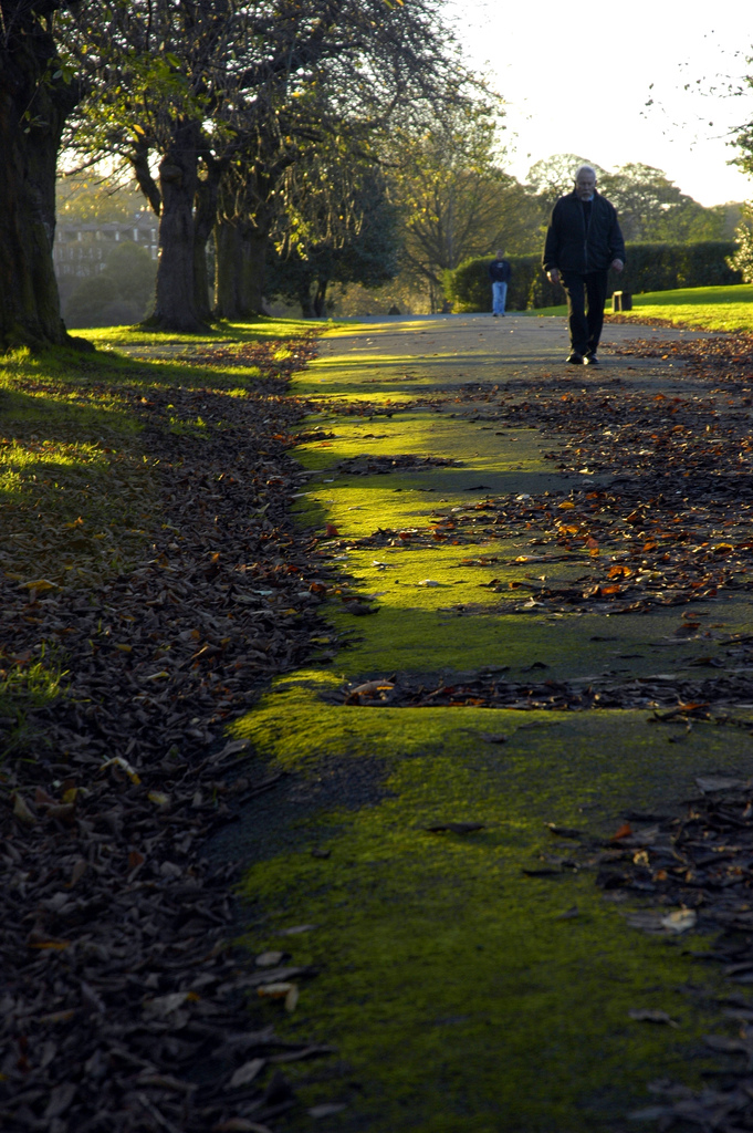

Horsforth, United Kingdom
Horsforth is a town of 19,350 people in England, United Kingdom.
Why visit Horsforth
Townapedia lists 8 museums and landmarks, 20 parks and trails, 133 places to eat and 3 attractions in and around town.
Highlights include Horsforth Pick Your Own, Kirkstall Bridge, Abbey House Museum and Ethel Preston memorial.
Weather in Horsforth
Forecast from MET Norway (CC BY 4.0). Full forecast
About Horsforth
Horsforth is a town and civil parish in the City of Leeds, West Yorkshire, England, five miles north-west of Leeds city centre. Historically a village within the West Riding of Yorkshire, it had a population of 18,895 at the 2011 Census. It became part of the City of Leeds metropolitan borough in 1974. In 1999, a civil parish was created for the area, and the parish council voted to rename itself a town council.
From the Wikipedia article Horsforth (this version), under CC BY-SA 4.0.
Photos of Horsforth


Things to do3

Horsforth Pick Your Own
Farm and orchard · 1.0 mi
Calverley Lane, Leeds
Jun-Aug: Mo-Su,PH 10:00-19:00 "Typically open from early June to...

Kirkstall Bridge
Bridge · 2.2 mi
Bridge in Leeds, West Yorkshire, England, UK

Museums and landmarks8

Abbey House Museum
Museum · 1.9 mi
Local authority museum in Leeds, United Kingdom

Ethel Preston memorial
Monument and historic site · 1.8 mi
Memorial in Leeds, West Yorkshire, England, UK

Kirkstall Abbey
Monument and historic site · 1.9 mi
Cistercian monastery in West Yorkshire, England, United Kingdom

Horsforth Museum
Museum · 0.5 mi
5 The Green, Leeds
Sa 10:00-16:00; Su 14:00-17:00; Dec off; Jan-Mar off

Parks, trails and playgrounds20



Rodley Nature Reserve
Hiking and trails · 1.4 mi
Wetland reserve on the site of a former sewage works, West Yorkshire, United Kingdom
Moss Bridge Road, Leeds
Mar-Oct PH We,Sa,Su 09:00-17:00; Nov-Feb We,Sa,Su 09:00-16:00

Kids Clubhouse
Playground · Sandwich · 0.7 mi
75A New Road Side, Leeds
Mo-We 09:30-15:30; Th-Fr 09:30-17:30; Sa-Su 10:00-17:00

Bramley Fall Park
Park · 1.5 mi
Park in Leeds, West Yorkshire, England
Leeds Zoological and Botanical Gardens
Park · 3.2 mi
Former zoopark in England

8 more on the map.
Restaurants and cafes133


The Old Ball
Bar and pub
Brownberrie Lane, Leeds
Mo-Th 12:00-23:00; Fr 12:00-00:00; Sa 11:00-00:00; Su 11:00-23:00

Horsforth Hotel
Bar and pub · 0.7 mi
57 Featherbank Lane, Leeds
Mo-Th 11:00-23:00; Fr-Sa 11:00-24:00; Su 11:00-22:30
The Fleece
Bar and pub · 0.8 mi
New Road Side, Leeds
Su,Mo 12:00-22:30; Tu,We 12:00-23:00; Th-Sa 12:00-24:00

Bavette Bistro
Cafe · Bistro, French · 0.4 mi
4-6 Town Street, Leeds
Mo off; Tu-Th 17:30-22:30; Fr-Sa 12:00-22:30; Su 12:00-18:00

Konak Meze Turkish Restaurant
Restaurant · Turkish · 0.4 mi
9-11 Town Street, Leeds
Tu-Sa 12:00-21:30; Su 12:00-21:00
121 more on the map.
History
Horsforth was recorded in the Domesday Book of 1086 as Horseford, Horseforde, Hoseforde; but late-ninth-century coins with the legend ORSNA FORD and OHSNA FORD may have come from Horsforth. The name derives from Old English hors or, to judge from the coins, *horsa ('horse') in the genitive plural form horsa/horsna + ford 'ford', thus meaning 'horses' ford'. This refers to a river crossing on the River Aire (possibly at Newlay), that was subsequently used to transport woollen goods to and from Pudsey, Shipley and Bradford. The original ford was situated off Calverley Lane, but was replaced by a stone footbridge at the turn of the 19th century.
The three unnamed Saxon thegns who held the land at the Conquest gave way to the king who granted it to lesser Norman nobles, but not long after most of the village came under the control of Kirkstall Abbey, a Cistercian house founded in 1152 on the bank of the River Aire downstream of Horsforth.
After the Dissolution of the Monasteries in 1539, Horsforth was partitioned and sold to five families, one of them – the Stanhopes – achieved supremacy and controlled the village for the next 300 years. The estate record of the Stanhopes is regarded as one of the most extensive and important collections of its kind, complementing the extensive medieval record associated with Kirkstall Abbey.
Read more of the history
Until the mid 19th century, Horsforth was an agricultural community but it expanded rapidly with the growth of the nearby industrial centre of Leeds. A tannery business was founded at Woodside in about 1820 by the Watson family. It was on the eastern edge of their small farm, and memorialised by Tanhouse Hill Lane. The business became a soap manufacturer and moved to Whitehall Road in Leeds in 1861 and under the chairmanship of Joseph Watson junior, created Baron Manton in 1922, as Joseph Watson & Sons Ltd, became the largest soap supplier to the northeast of England, second in size nationally only to Lever Brothers. Industrially, Horsforth has a history of producing high-quality stone from its quarries. Not only did it supply Kirkstall Abbey with building materials and millstones in the medieval period, it provided the stone for Scarborough's seafront and sent sandstone from Golden Bank Quarry as far afield as Egypt. Situated on Horsforth Beck (Oil Mill Beck) were mills serving the textile trade.
Horsforth was historically a township in the parish of Guiseley. It became a separate civil parish in 1866. In the late-19th century it achieved note as the village with the largest population in England. Railways, turnpike roads, tramways and the nearby canal made it a focus for almost all forms of public and commercial transport and it became a dormitory suburb of Leeds. The civil parish became Horsforth Urban District in 1894. The parish and urban district were abolished in 1974 and merged into the new City of Leeds metropolitan district. In 1999 Horsforth became a civil parish and a parish council was created, which exercised its right to declare Horsforth a town.
Horsforth Village Museum has collections and displays illustrating aspects of life set against the backdrop of the changing role of the village.
During the Second World War the £241,000 required to build the corvette HMS Aubrietia was raised entirely by the people of Horsforth. In 2000 the US President Bill Clinton acknowledged Horsforth's contribution to the war effort in a letter sent to MP Paul Truswell. The letter is in the museum. The Scout and Guide hut on New Road Side was requisitioned during the war as an emergency mortuary for the factories based around what is now Leeds Bradford Airport (Yeadon Aerodrome at the time), but it was never needed. The building was later used as a cafe, serving as a popular stop-off on the way out to Otley, Ilkley and the Dales, before being purchased by the scouts and guides.
In October 2020 Horsforth was named the most musical village in Britain as it was revealed that 22 home-grown acts were in the running for the charts with their latest singles.
From the History section of Horsforth on Wikipedia, under CC BY-SA 4.0.
More about Horsforth
Education
Leeds Trinity University, formerly Leeds Trinity University College, is an independent university after a period as an accredited college of the University of Leeds. The residential campus is located off Brownberrie Lane, Horsforth.
The further education college Leeds City College has a former site in Horsforth which was called the Horsforth Campus which has lain redundant since it closed in June 2017. Housing has now been built on the site. It was previously part of Park Lane College.
The main secondary school is Horsforth School. Horsforth's state sector primary schools are West End Lane Primary School, St Margaret's Primary School, Newlaithes Primary School, Westbrook Lane Primary School, Broadgate Lane Primary School, St Mary's Catholic Primary School and Featherbank Primary School.
Featherbank School opened in 1911 as a primary school, replacing the Grove Day School. The school's infant department was moved to the Grove Methodist Church on Stanhope Drive in 1933, but in 1960 transferred to the Featherbank School annexe. In 1972 Featherbank juniors (7–11 years) were allocated places at the newly built Newlaithes Junior School, at which point Featherbank became purely an infants' school (4–7 years). In September 2011 Featherbank reverted to being a full primary school.
There is a private primary school, The Froebelian School, providing independent preparatory education.
From the Wikipedia article Horsforth, under CC BY-SA 4.0.
Notable people from Horsforth
 Frazer HinesEnglish actorPhoto: David Johnson from Sheffield, England, CC BY 2.0
- Malcolm McDowellBritish actor (born 1943)
- Kathryn ApanowiczBritish actress
- Bruce PercyEnglish cricketer (born 1966)
- Tim LinleyEnglish cricketer (born 1982)
- Ashley MetcalfeEnglish county cricketer (born 1963)
- Albert BraithwaiteBritish politician (1893-1959)
- Stanley Metcalfe(1932-2017)
- Frank KershawEnglish cricketer
- Kendall BroadbentEnglish Australian naturalist and explorer
- Paul FairburnBritish businessman
- Linda HindmarshEnglish swimmer
Born in Horsforth, according to Wikidata (CC0). Each name links to its Wikipedia article.
Churches and places of worship28
Church of St Andrew the Apostle, Moor Grange
Church · Anglican · 1.5 mi
Butcher Hill, Leeds
Shopping11
Gas and EV charging3
Schools, colleges and libraries25
St Margaret's Church of England Voluntary Controlled Primary School
School · Anglican
Town Street, Leeds
Rawdon St Peter's Church of England Voluntary Controlled Primary School
School · Anglican · 1.4 mi
Town Street, Leeds
Healthcare8
Map of Horsforth
239 places. The map loads OpenStreetMap tiles when you open it.
Getting there and nearby towns
Leeds Bradford Airport (LBA) is the nearest airport with scheduled flights listed in OpenStreetMap, 2 miles away.
- Pudsey 3 mi south, about 5 min by car
- Leeds 5 mi southeast, about 8 min by car
- Otley 5 mi northwest, about 8 min by car
- Shipley 5 mi west, about 9 min by car
- Bradford 6 mi southwest, about 9 min by car
- Ilkley 9 mi northwest, about 15 min by car
- Lofthouse 10 mi southeast, about 16 min by car
- Liversedge 10 mi south, about 16 min by car
- Ossett 11 mi south, about 18 min by car
- Wakefield 12 mi southeast, about 20 min by car
Drive times are estimates from straight-line distance, not routes.
Towns near Horsforth


Keep exploring
Local news
Headlines from INDB.
Reviews, tips and questions
Loading what members have shared...
Sources and licences
- GeoNames (CC BY 4.0): population, coordinates, regions and time zone
- OpenStreetMap contributors (ODbL 1.0): places, airports, map data
- Wikidata (CC0 1.0): elevation, founding date, time zone, website, landmarks and historic places
- Wikimedia Commons (see each image): photos
- Wikipedia (CC BY-SA 4.0): overview and history text
Photo credits
- TownStreetHorsforth, Chemical Engineer, Public domain
- Kirkstall Abbey House Museum, No machine-readable author provided. Jungpionier assumed (based on copyright claims)., CC BY-SA 3.0
- Monument to Ethel Preston (4463303710), Tim Green from Bradford, CC BY 2.0
- KirkstallAbbeyFromCloister, JohnArmagh, Public domain
- Armley park in autumn (64012979), John Leach from Leeds, UK, CC BY 2.0
- Bramley park, King of the North East, CC BY-SA 3.0
- Golden-acre-park, Mick Melvin, CC BY-SA 2.0
- Grove Methodist Church, Horsforth (30th December 2013) 001, Mtaylor848, CC BY-SA 3.0
- Christ Church Upper Armley 26 June 2017, Chemical Engineer, CC BY-SA 4.0
- St Chads Church Far Headingley, Betty Longbottom, CC BY-SA 2.0
- RalphThoresbySch01, Chemical Engineer, Public domain
- St Mary's Church, Hawksworth, Leeds, Stephen Craven, CC BY-SA 2.0
- Horsforth Library (29851830385), Libraries Taskforce, CC BY 2.0
- Horsforth Golf Club, Leeshore1966, CC BY-SA 4.0
- Brownlee Arms, Horsforth (21427109961), Tim Green from Bradford, UK, CC BY 2.0
- The Old Ball, Horsforth (30th December 2013) 002, Mtaylor848, CC BY-SA 3.0
- Toby Carvery Horsforth, Simon Cobb, CC0
- Miller & Carter Horsforth, Simon Cobb, CC0
- Holy Name of Jesus Church, Otley Old Road March 2107, Chemical Engineer, CC BY-SA 4.0
- View of Horsforth Golf Club, Unknown author, CC0
- 2,6 And 8, Bachelor Lane, Simon Cobb, CC0
- Croft House, Simon Cobb, CC0


Page built November 10, 2026. Spotted a mistake? Tell us or suggest a place.