


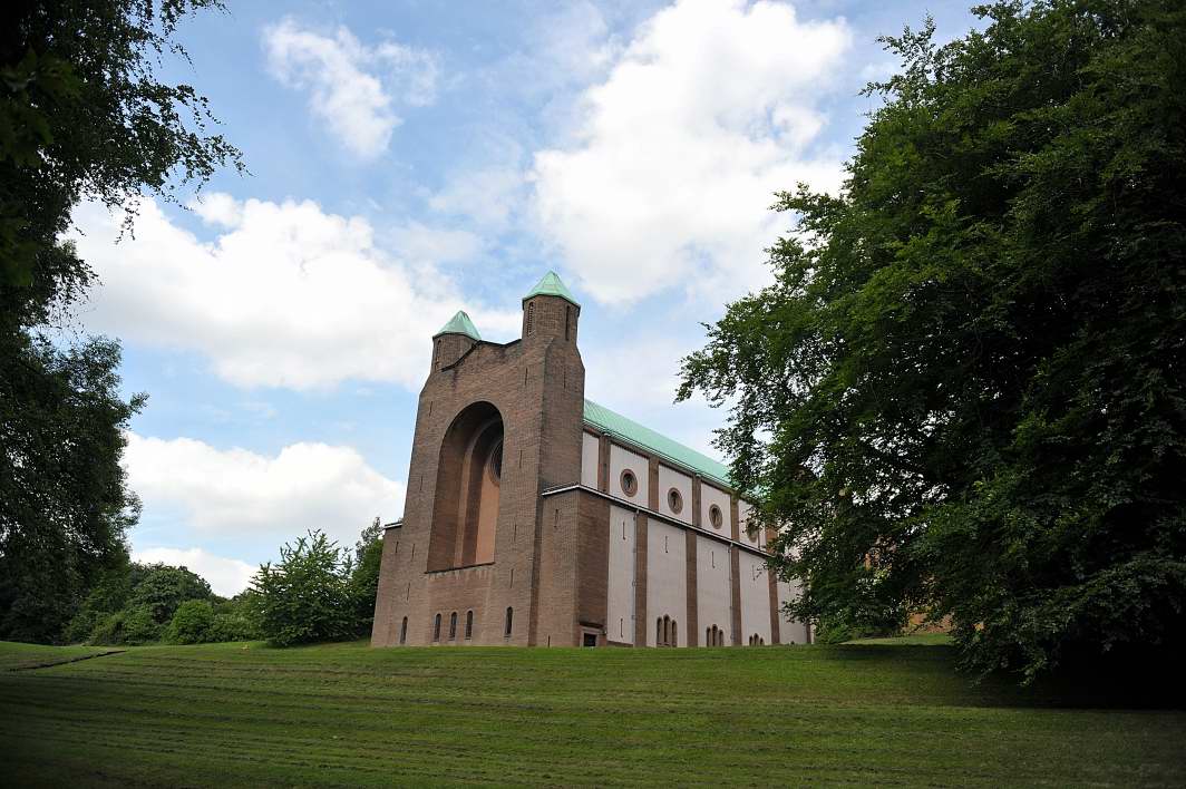
Liversedge, United Kingdom
Liversedge is a town of 19,420 people in England, United Kingdom.
Why visit Liversedge
Townapedia lists 10 museums and landmarks, 18 parks and trails, 78 places to eat, 2 places to stay and 4 attractions in and around town.
Highlights include Ponderosa Zoo, Colne Bridge, Bagshaw Museum and Dewsbury Bus Museum.
Weather in Liversedge
Forecast from MET Norway (CC BY 4.0). Full forecast
About Liversedge
Liversedge is an industrial town in the Kirklees district, in West Yorkshire, England. Historically part of the West Riding of Yorkshire, Liversedge lies between Cleckheaton and Heckmondwike. The Kirklees ward is now called Liversedge and Gomersal with a population at the 2011 Census of 19,420. Liversedge forms part of the Heavy Woollen District and was historically part of the parish of Birstall.
From the Wikipedia article Liversedge (this version), under CC BY-SA 4.0.
Things to do4

Ponderosa Zoo
Zoo and aquarium · 1.2 mi
Zoo in Heckmondwike, West Yorkshire, England
Smithies Lane, Heckmondwike
Mo-Su 10:00-17:00; Dec 24-26, Dec 31 off; Jan 01 off

Colne Bridge
Bridge · 2.5 mi
Grade II listed bridge in Kirklees, West Yorkshire, England, UK

Ledgard Bridge
Bridge · 2.3 mi
Grade II listed bridge in Mirfield, Kirklees, West Yorkshire, England, UK

Museums and landmarks10
Bagshaw Museum
Museum · 2.5 mi
Local museum in Batley, West Yorkshire, United Kingdom

Dewsbury Bus Museum
Museum · 2.1 mi
Bus museum in Ravensthorpe, West Yorkshire, England

Oakwell Hall
Museum · 2.6 mi
Grade I listed historic house museum in Kirklees, West Yorkshire, England, UK

Red House Museum
Museum · 1.9 mi
Historic house museum. in West Yorkshire, England

Kirklees Priory
Monument and historic site · 1.9 mi
Monastery in West Yorkshire, UK
Robin Hood's Grave
Monument and historic site · 2.1 mi
Monument in Calderdale, West Yorkshire, England, UK

Parks, trails and playgrounds18

Crow Nest Park
Park · 2.2 mi
Green Flag public park in Yorkshire, England, UK

Wilton Park, Batley
Park · 2.3 mi
A public park in West Yorkshire, England
Heckmondwike Green
Park · 0.7 mi
Park area located within Heckmondwike Town Centre, containing amongst other features a Bandstand, Memorial Plaque and Heckmondwike War Memorial.

6 more on the map.
Restaurants and cafes78
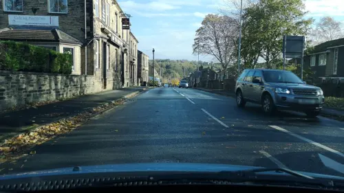
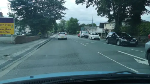
Strada Café
Cafe · 0.9 mi
136A Leeds Road, Heckmondwike
Mo-Fr 09:30-14:30
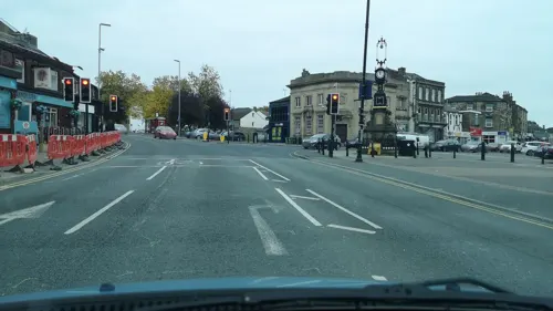

Casa Luli
Restaurant · Italian · 1.2 mi
399 Halifax Road, Liversedge
We-Sa 17:00-22:00; Su 12:30-21:00

Parmars
Restaurant · Indian · 1.4 mi
471 Halifax Road, Liversedge
66 more on the map.
History
Liversedge is recorded in the Domesday Book as Livresec, a manor belonging to Radulf, a vassal of Ilbert de Lacy. There are two possible etymologies for the name: from the Old English Lēofheres-ecg meaning 'a ridge or edge belonging to Lēofhere'; or, alternatively, the first element could have originally been *Lēfer-, related to the Old English word lifer used in the sense of 'thick clotted water', and the second element secg, 'a bed of reeds or rushes'.
In the 15th century, the lord of the manor was a member of the Neville family and Liversedge was already involved in woollen manufacture. The trade grew and by the 19th century the town was busy in the manufacture of woollen goods. In 1812, the town was the scene of a Luddite attack on Rawfolds Mill, when approximately two hundred armed weavers, croppers and other artisans attempted to destroy cropping frames at a mill operated by William Cartwright. Two Luddites were killed and some were injured by four soldiers and armed workmen defending the mill, with no losses on Cartwright's side. Liversedge Town Hall at the top of Knowler Hill was built for Liversedge Local Board and completed in around 1880.
Read more of the history
In 2012, Sparrow Park was constructed outside Liversedge Town Hall in commemoration of the 200th anniversary of the uprising and attack on Rawfolds Mill, which began just up the road from the monument in the still-operational "Shears" pub.
Healds Hall, formerly the Spenborough Museum, is now a hotel. In the days of Charlotte Brontë it was home to Hammond Roberson whom she transformed into the Reverend Matthewman Helstone in her novel Shirley.
From the History section of Liversedge on Wikipedia, under CC BY-SA 4.0.
Notable people from Liversedge
 Will HatfieldEnglish association football player (born 1991)Photo: Mattythewhite, CC BY-SA 4.0
- Susan HearnshawBritish long jumper
- Angus PollockEnglish cricketer (born 1962)
- Harry DeanCanadian musician
- John FozardBritish aerospace engineer (1928–1996)
Born in Liversedge, according to Wikidata (CC0). Each name links to its Wikipedia article.
Where to stay2
Churches and places of worship28
Shopping7
Gas and EV charging2
Schools, colleges and libraries20
Gomersal St Mary's Church of England Voluntary Controlled Primary School
School · Anglican · 1.6 mi
Shirley Avenue, Cleckheaton
Headlands Church of England Voluntary Controlled Junior, Infant and Nursery School
School · Anglican
Headlands Road, Liversedge
Healthcare5
Map of Liversedge
174 places. The map loads OpenStreetMap tiles when you open it.
Getting there and nearby towns
Leeds Bradford Airport (LBA) is the nearest airport with scheduled flights listed in OpenStreetMap, 11 miles away.
- Mirfield 2 mi south, about 4 min by car
- Huddersfield 5 mi southwest, about 9 min by car
- Ossett 5 mi east, about 8 min by car
- Pudsey 6 mi north, about 10 min by car
- Bradford 7 mi north, about 11 min by car
- Wakefield 8 mi east, about 13 min by car
- Lofthouse 8 mi east, about 13 min by car
- Leeds 9 mi northeast, about 14 min by car
- Shipley 9 mi north, about 15 min by car
- Penistone 13 mi south, about 20 min by car
Drive times are estimates from straight-line distance, not routes.
Towns near Liversedge


Keep exploring
Local news
Headlines from INDB.
Reviews, tips and questions
Loading what members have shared...
Sources and licences
- GeoNames (CC BY 4.0): population, coordinates, regions and time zone
- Mapillary (see each image): photos
- OpenStreetMap contributors (ODbL 1.0): places, airports, map data
- Wikidata (CC0 1.0): elevation, founding date, time zone, website, landmarks and historic places
- Wikimedia Commons (see each image): photos
- Wikipedia (CC BY-SA 4.0): overview and history text
Photo credits
- Liversedge Sparrow Park, SnoopingAsUsual, Public domain
- Ponderosa Zoo Entrance and General View, TheArmchairSoldier, CC BY-SA 4.0
- 995 and 670 at DBM, 24 Barnsley Road, CC BY-SA 4.0
- Oakwell Hall, Nigel Homer, CC BY-SA 2.0
- Red House Museum 001, Storye book, CC BY 4.0
- Church of the Resurrection, DanielCRMirfield, CC BY-SA 3.0
- St Marys Mirfield 1, Yorks_LF, from the English Wikipedia, CC BY-SA 3.0
- Old Providence Congregational Chapel, Humphrey Bolton, CC BY-SA 2.0
- Church St Peters Birstall 05-02-2018 11-44-24 (41140679685), Mark Stevenson, CC BY 2.0
- St Peters Church Hartshead 001, Storye book, CC BY 3.0
- Christ Church, Liversedge, Tim Green, CC BY 2.0
- Royal and Ancient, Colne Bridge (4636537240), Tim Green from Bradford, CC BY 2.0
- Ledgard Bridge (3407757746), Tim Green from Bradford, CC BY 2.0
- The Eagle has Landed 1- in Crow Nest Park (8060315604), Tim Green from Bradford, CC BY 2.0
- Street-level photo, cuttlebug, CC BY-SA 4.0
- Street-level photo, cuttlebug, CC BY-SA 4.0
- Street-level photo, cuttlebug, CC BY-SA 4.0
- Street-level photo, cuttlebug, CC BY-SA 4.0
- Street-level photo, cuttlebug, CC BY-SA 4.0
- Street-level photo, cuttlebug, CC BY-SA 4.0
- Street-level photo, cuttlebug, CC BY-SA 4.0
- Street-level photo, cuttlebug, CC BY-SA 4.0
- Street-level photo, cuttlebug, CC BY-SA 4.0
- Street-level photo, cuttlebug, CC BY-SA 4.0
- Street-level photo, cuttlebug, CC BY-SA 4.0
- Street-level photo, cuttlebug, CC BY-SA 4.0
- Street-level photo, cuttlebug, CC BY-SA 4.0
- Street-level photo, cuttlebug, CC BY-SA 4.0
- Street-level photo, cuttlebug, CC BY-SA 4.0
- Street-level photo, cuttlebug, CC BY-SA 4.0


Page built November 10, 2026. Spotted a mistake? Tell us or suggest a place.