


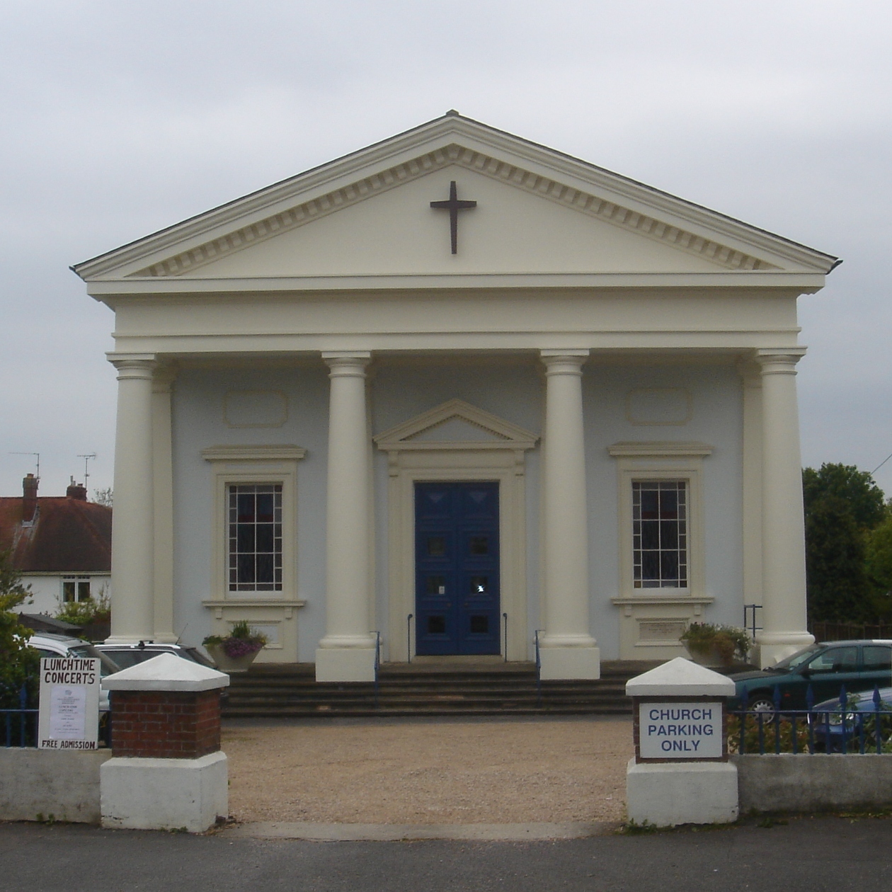


Hurstpierpoint, United Kingdom
Hurstpierpoint is a town of 12,730 people in England, United Kingdom.
Why visit Hurstpierpoint
Townapedia lists 4 museums and landmarks, 1 park or trail, 9 places to eat and 1 attraction in and around town.
Highlights include Hurstpierpoint Players, Ditchling Museum of Art + Craft, Danny House and Singing Hills Golf Course.
Weather in Hurstpierpoint
Forecast from MET Norway (CC BY 4.0). Full forecast
About Hurstpierpoint
Hurstpierpoint is a village in the Mid Sussex district, in the county of West Sussex, England, 4 miles (6.4 km) southwest of Burgess Hill, 1.5 miles (2.4 km) west of Hassocks railway station, and 40 miles south of London (as the crow flies). It sits in the civil parish of Hurstpierpoint and Sayers Common which has an area of 2029.88 ha and a population of 7,112.
From the Wikipedia article Hurstpierpoint (this version), under CC BY-SA 4.0.
Things to do1

Museums and landmarks4

Ditchling Museum of Art + Craft
Museum · 2.9 mi
Local museum in Ditchling, East Sussex, England, United Kingdom



Parks, trails and playgrounds1

Singing Hills Golf Course
Golf course · 1.5 mi
9 hole Par 34 River Course & 9 hole Par 35 Lake Course & 9 hole Par 36 Valley Course
Restaurants and cafes9

The Fig Tree
Restaurant · International
120 High Street, Hurstpierpoint
Tu-Th 19:00-22:00;We-Sa 12:00-14:00;Fr-Sa 19:00-22:30;Su 12:30-14:30

Friars Oak
Bar and pub · 1.4 mi
London Road, Hassocks
Mo-Fr 11:30-23:00; Sa 09:00-23:00; Su 09:00-22:00

History
The Hurstpierpoint manor held all the land in a giant parish. Before the Norman Conquest it was owned by Earl Godwin. In the Domesday Book of 1086, the settlement was named as Herst in the ancient hundred of Buttinghill. After the Conquest, it was held by the de Pierpoints for many centuries.
There were twin Parks at Hurstpierpoint through the later Middle Ages, Little Park north of the Greensand ridge and Danny, or Great Park (TQ 285 152) to its south. Danny Park was made by enclosing existing woodland in the early 13th century. It remained a special place right up until the 1970s, particularly for its many ancient elms, which formed an avenue northwards from the house.
The name "Hurstpierpoint" derives from two sources. The first source is 'Hurst' (also spelled 'hyrst', 'herst' or 'hirst'), the Saxon name for a wooded hill. The hill woodland is likely to have been on the shadier, northern side of the greensand ridge, for the sunny south side is partially on the Lower Greensand which is an area that early farmers would have settled for the fertile ground, for example at Wanbarrow, Washbrooks, Tott Farm and Bedlam Street. The second source is de Pierpoint family who were early owners of the property. Throughout the centuries there have been several variants on the Hurstpierpoint name e.g. Herst (11th century); Herstperpunt (14th century); Perpondesherst (15th century).
Read more of the history
In 1971 the civil parish had a population of 5355. On 1 April 2000 the parish was abolished to form "Hurstpierpoint and Sayers Common", part also went to Albourne and Burgess Hill.
From the History section of Hurstpierpoint on Wikipedia, under CC BY-SA 4.0.
More about Hurstpierpoint
Geography
The village is built on a sandstone ridge, 145 feet (44 m) above sea level, running east and west across the parish, on the road from Lewes to Albourne. This is crossed in the centre of the village by Cuckfield Road which goes north to Cuckfield. Hurstpierpoint is located close to the A23.
Education
St Lawrence Church of England Primary School is located close to the centre of the village and is for children 4 to 11 years of age. Also located in the village is the public school, Hurstpierpoint College, to be found to the north-east of the village, and the pre-school, next to the Primary School, for children 2 to 5 years of age.
From the Wikipedia article Hurstpierpoint, under CC BY-SA 4.0.
Notable people from Hurstpierpoint
 Paul ScofieldBritish actor (1922–2008)Photo: Allan warren, CC BY-SA 3.0
- Haydn GwynneBritish actress (1957–2023)
- William MittenBritish botanist (1819-1906)
- Peter LakerEnglish cricketer (1926-2014)
- John DodsonBritish politician (1780–1858)
- Thomas Tidycricketer (1847-1918)
- Arthur Sharoodcricketer (1856-1895)
- Arthur SmithEnglish cricketer, born 1851
- Glenn MooreBritish stand-up comedian and presenter (born 1989)
Born in Hurstpierpoint, according to Wikidata (CC0). Each name links to its Wikipedia article.
Churches and places of worship16
Shopping1
Gas and EV charging1
Schools, colleges and libraries4
Healthcare1
Map of Hurstpierpoint
38 places. The map loads OpenStreetMap tiles when you open it.
Getting there and nearby towns
Brighton City Airport (ESH) is the nearest airport with scheduled flights listed in OpenStreetMap, 9 miles away.
- Portslade 6 mi south, about 10 min by car
- Brighton 8 mi south, about 12 min by car
- Shoreham-by-Sea 8 mi southwest, about 13 min by car
- Lewes 9 mi southeast, about 15 min by car
- Lancing 10 mi southwest, about 15 min by car
- Rottingdean 10 mi southeast, about 16 min by car
- Worthing 12 mi southwest, about 19 min by car
- Crawley 12 mi north, about 20 min by car
- Uckfield 12 mi east, about 20 min by car
- Newhaven 14 mi southeast, about 22 min by car
Drive times are estimates from straight-line distance, not routes.
Towns near Hurstpierpoint


Keep exploring
Local news
Headlines from INDB.
Reviews, tips and questions
Loading what members have shared...
Sources and licences
- GeoNames (CC BY 4.0): population, coordinates, regions and time zone
- Mapillary (see each image): photos
- OpenStreetMap contributors (ODbL 1.0): places, airports, map data
- Wikidata (CC0 1.0): elevation, founding date, time zone, website, landmarks and historic places
- Wikimedia Commons (see each image): photos
- Wikipedia (CC BY-SA 4.0): overview and history text
Photo credits
- Holy Trinity Church, Hurstpierpoint (June 2013), Hassocks5489, CC0
- Holy Trinity Church, Hurstpierpoint (IoE Code 302614), The Voice of Hassocks, Public domain
- All Saints URC Church, Burgess Hill, The Voice of Hassocks, Public domain
- Church of the Transfiguration, Pyecombe 04, Simon Burchell, CC BY-SA 4.0
- The Old Meeting House (Unitarian Chapel) and adjacent Cottage, Ditchling, The Voice of Hassocks, Public domain
- Former Providence Chapel, Burgess Hill, The Voice of Hassocks, Public domain
- St Cosmas and St Damian Church, Keymer, Paste, CC BY-SA 3.0
- St John the Baptist's Church, Clayton, West Sussex - Exterior from Northeast, The Voice of Hassocks, Public domain
- St. John the Evangelist's church, Burgess Hill, Antiquary, CC BY 3.0
- St Wilfrid's RC Church, Station Road, Burgess Hill, The Voice of Hassocks, CC0
- Newtimber church, Antiquary, CC BY-SA 4.0
- Danny house, Cupcakekid, Public domain
- Hurstpierpoint College Inner Quad, David Cumberland, CC BY-SA 2.0
- Hurstpierpoint trinity church, WFan, CC BY-SA 4.0
- Christ Church, Sayers Common, Antiquary, CC BY 4.0
- Ditchling Museum of Art and Craft, John Lord, CC BY 2.0
- Alfred Russel Wallace O.M. Naturalist 1823 - 1913 plaque Hurstpierpoint, Spudgun67, CC0
- Street-level photo, caranteth, CC BY-SA 4.0


Page built November 10, 2026. Spotted a mistake? Tell us or suggest a place.