


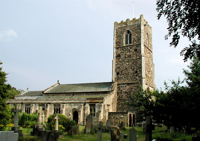

Keyingham, United Kingdom
Keyingham is a town of 2,314 people in England, United Kingdom.
Why visit Keyingham
Townapedia lists 1 museum or landmark, 1 park or trail and 7 places to eat in and around town.
Highlights include Constable Mausoleum.
Weather in Keyingham
Forecast from MET Norway (CC BY 4.0). Full forecast
About Keyingham
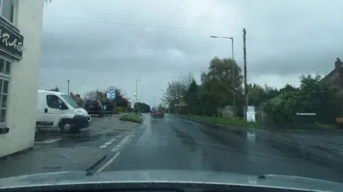
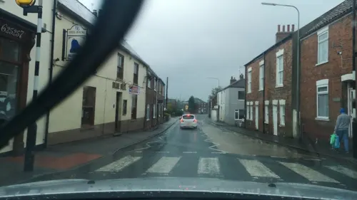
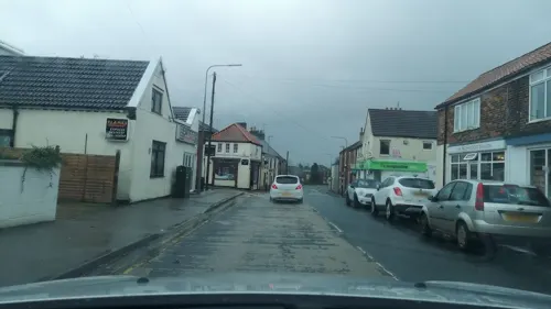
Keyingham is a village and civil parish in the East Riding of Yorkshire, England. The village is situated approximately 10 miles (16 km) east of Kingston upon Hull city centre and lies on the A1033 road.
From the Wikipedia article Keyingham (this version), under CC BY-SA 4.0.
Photos of Keyingham

Museums and landmarks1

Constable Mausoleum
Monument and historic site · 2.2 mi
Architectural structure in Halsham, East Riding of Yorkshire, England, UK
Parks, trails and playgrounds1

Restaurants and cafes7


Churches and places of worship8

All Saints' Church, Burstwick
Church · 2.0 mi
Grade I listed church in Burstwick, East Riding of Yorkshire, England, UK


Church of All Saints
Church · 2.0 mi
Church in Halsham, East Riding of Yorkshire, England, UK
Church of St Nicholas
Church
Grade I listed church in Keyingham, East Riding of Yorkshire, England, UK
Church of St Wilfred
Church · 1.4 mi
Church in Ottringham, East Riding of Yorkshire, England, UK
History
A possible Iron Age or Roman enclosure was 800 yards (1 km) north-east from the present village, identified by aerial photography, and at the north and south of the village is evidence of medieval earthworks, field boundaries, ponds, trackways, and ridges and furrows. Less than 1 mile (1.6 km) west of the village is the site of St Philips Well, a medieval water spring.
The name Keyingham probably derives from the Old English cǣgingashām or cǣginghām meaning 'the village of the people of the key', or 'the village at the key place'. This perhaps refers to a key shaped hill nearby, or some other topographical feature.
Keyingham is listed in the 1086 Domesday Book as in the Hundred of Holderness, with 31 households, 30 villagers, one priest and a church. Eight ploughlands and 24 acres (0.1 km2) of meadow are recorded. In 1066 Thorfridh held the lordship, this transferred by 1086 to Drogo of la BeuvriËre, who was also Tenant-in-chief to King William I.
Read more of the history
In 1823, Keyingham (or Kyingham) was a civil parish in the Wapentake and Liberty of Holderness. The patronage of the ecclesiastical parish and church was under the Archbishop of York. In 1802, the interest from a bequest of 200 shillings was left for the education of poor parish children of 'Kayingham', administered by the churchwardens, and the incumbent who held his post as a perpetual curate. Parish population in 1823 was 639. Occupations included eight farmers, two blacksmiths, two wheelwrights, four grocers, a corn miller, six shoemakers, two tailors, one of whom was also a draper, a bricklayer who was also the parish clerk, a school master, the landlord of The Blue Bell and the landlady of The Gate public houses. Two carriers operated between the village and Hull twice weekly.
Keyingham was served from 1854 to 1964 by Keyingham railway station on the Hull and Holderness Railway.
From the History section of Keyingham on Wikipedia, under CC BY-SA 4.0.
More about Keyingham
Education
The village has one primary school, Keyingham Primary School. It was opened to pupils at the beginning of the 2007 school year, replacing the former infant school on the same site. The new school combines the former junior and infant schools, the junior school being based in a former board school building across the road which closed in 2006. The schools serve children from Keyingham and the neighbouring village of Ottringham just over 1 mile (1.6 km) to the east, there are no secondary schools.
From the Wikipedia article Keyingham, under CC BY-SA 4.0.
Schools, colleges and libraries1
Map of Keyingham
18 places. The map loads OpenStreetMap tiles when you open it.
Getting there and nearby towns
Humberside Airport (HUY) is the nearest airport with scheduled flights listed in OpenStreetMap, 14 miles away.
- Hedon 4 mi northwest, about 6 min by car
- Immingham 8 mi southwest, about 13 min by car
- Kingston upon Hull 9 mi west, about 15 min by car
- Stallingborough 9 mi south, about 14 min by car
- Grimsby 10 mi south, about 16 min by car
- Cleethorpes 11 mi south, about 17 min by car
- Dunswell 12 mi northwest, about 20 min by car
- Barton upon Humber 14 mi west, about 22 min by car
- Leven 15 mi northwest, about 24 min by car
- Beverley 16 mi northwest, about 25 min by car
Drive times are estimates from straight-line distance, not routes.
Towns near Keyingham


Keep exploring
Local news
Headlines from INDB.
Reviews, tips and questions
Loading what members have shared...
Sources and licences
- GeoNames (CC BY 4.0): population, coordinates, regions and time zone
- Mapillary (see each image): photos
- OpenStreetMap contributors (ODbL 1.0): places, airports, map data
- Wikidata (CC0 1.0): elevation, founding date, time zone, website, landmarks and historic places
- Wikimedia Commons (see each image): photos
- Wikipedia (CC BY-SA 4.0): overview and history text
Photo credits
- Keyingham village cross, Paul Glazzard, CC BY-SA 2.0
- Church Lane Keyingham, Paul Glazzard, CC BY-SA 2.0
- Beck Lane Keyingham, Paul Glazzard, CC BY-SA 2.0
- Constable Mausoleum, Halsham, Paul Glazzard, CC BY-SA 2.0
- All Saints Church, Burstwick, Paul Glazzard, CC BY-SA 2.0
- Lizzie, Maine Coon, 2018 (44326302621), dom fellowes from UK, CC BY 2.0
- Lizzie, Maine Coon, 2018 (44326302621) (cropped 2024), dom fellowes from UK, CC BY 2.0
- The Ship Keyingham, Paul Glazzard, CC BY-SA 2.0
- St Nicholas Church, Keyingham, Paul Glazzard, CC BY-SA 2.0
- Street-level photo, cuttlebug, CC BY-SA 4.0
- Street-level photo, cuttlebug, CC BY-SA 4.0
- Street-level photo, cuttlebug, CC BY-SA 4.0
- Street-level photo, cuttlebug, CC BY-SA 4.0
- Street-level photo, cuttlebug, CC BY-SA 4.0
Page built November 10, 2026. Spotted a mistake? Tell us or suggest a place.