
Why visit Kilsby
Townapedia lists 6 museums and landmarks, 4 parks and trails, 13 places to eat, 4 places to stay and 3 attractions in and around town.
Highlights include Pulpit Bridge, Watford Park and Barby Moorings.
Weather in Kilsby
Forecast from MET Norway (CC BY 4.0). Full forecast
About Kilsby
Kilsby is a village and civil parish in the West Northamptonshire unitary authority area of Northamptonshire, England. It is situated a short distance south of the border with Warwickshire, approximately 5 miles (8 km) southeast of Rugby. The parish of Kilsby, which includes Barby Nortoft, was estimated to have a population of 1,268 in 2020.
From the Wikipedia article Kilsby (this version), under CC BY-SA 4.0.
Things to do3

Pulpit Bridge, Watford Park
Bridge · 2.6 mi
1877 railway bridge in Northamptonshire, England

Museums and landmarks6

Parks, trails and playgrounds4


Restaurants and cafes13
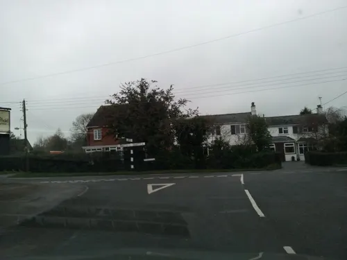
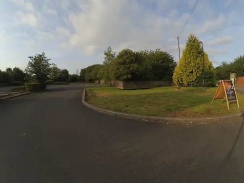
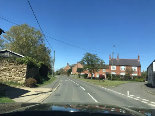


1 more on the map.
History
Kilsby's name comes from Anglo-Saxon cildes + old Norse býr, literally meaning "child's dwelling", but "child" here probably means "young nobleman". Its church, St Faith's, may originally have been the daughter chapel of the neighbouring parish of Barby.
The parish's eastern side is bounded by the old route of the Roman Watling Street, and the village itself is sited on the crossing of two former mediaeval drove-routes.
One of the earliest armed confrontations of the English Civil War took place at Kilsby in August 1642: The Royalist Captain Sir John Smith led a group of soldiers to disarm the villagers, after the news was heard that they were Parliamentarian supporters. The villagers put up resistance, and in the ensuing fight, several villagers were killed.
Kilsby gives its name to the Kilsby Tunnel; a railway tunnel on the West Coast Main Line. The construction of the tunnel between 1835 and 1838 caused considerable disruption to the village, as more than 1,200 navvies lived in a shanty town on the edge of the village, using 200 horses and thirteen steam engines to construct it. The navvies were known for their heavy drinking in the local inns, and on one occasion, troops from the nearby Weedon barracks were called in to quell a riot. The tunnel measures 1 mile 666 yards (2,216 m).
Read more of the history
"Kilsby Jones" is the name by which James Rhys Jones is usually known. He was a Welsh congregationalist minister and writer in Kilsby from 1840 to about 1850, when he moved to Birmingham.
The village has grown moderately since the 1960s, with a mix of new housing developments and a degree of in-filling. It retains a historic core of attractive buildings including some fine examples of Northamptonshire rubble stone construction, and a number of thatched properties. A Conservation area was designated in the village in 2018, and many of the village's more attractive properties are listed for their historic interest.
From the History section of Kilsby on Wikipedia, under CC BY-SA 4.0.
Notable people from Kilsby
 Thomas Richardson ColledgeBritish surgeonPhoto: Daderot, Public domain
Born in Kilsby, according to Wikidata (CC0). Each name links to its Wikipedia article.
Where to stay4
Holiday Inn Rugby-Northampton M1, Jct.18
Motel and hotel · 1.7 mi
Rugby Road, Northampton
Churches and places of worship7
St. Margaret's Parish Church
Church · Anglican · 1.8 mi
Church Street, Northampton
Shopping1
Gas and EV charging1
Schools, colleges and libraries4
Map of Kilsby
43 places. The map loads OpenStreetMap tiles when you open it.
Getting there and nearby towns
Sywell Aerodrome (ORM) is the nearest airport with scheduled flights listed in OpenStreetMap, 16 miles away.
- West Haddon 4 mi east, about 7 min by car
- Rugby 5 mi northwest, about 7 min by car
- Daventry 5 mi south, about 9 min by car
- Welford 8 mi northeast, about 12 min by car
- Stockton 9 mi southwest, about 14 min by car
- Spratton 9 mi east, about 15 min by car
- Long Itchington 10 mi west, about 16 min by car
- Husbands Bosworth 10 mi northeast, about 15 min by car
- Northampton 14 mi southeast, about 22 min by car
- Coventry 15 mi west, about 24 min by car
Drive times are estimates from straight-line distance, not routes.
Towns near Kilsby


Keep exploring
Local news
Headlines from INDB.
Reviews, tips and questions
Loading what members have shared...
Sources and licences
- GeoNames (CC BY 4.0): population, coordinates, regions and time zone
- Mapillary (see each image): photos
- OpenStreetMap contributors (ODbL 1.0): places, airports, map data
- Wikidata (CC0 1.0): elevation, founding date, time zone, website, landmarks and historic places
- Wikipedia (CC BY-SA 4.0): overview and history text
Photo credits
- Street-level photo, southglos, CC BY-SA 4.0
- Street-level photo, adam2, CC BY-SA 4.0
- Street-level photo, adam2, CC BY-SA 4.0
- Street-level photo, adam2, CC BY-SA 4.0
- Street-level photo, southglos, CC BY-SA 4.0
- Street-level photo, laye, CC BY-SA 4.0
- Street-level photo, adam2, CC BY-SA 4.0
- Street-level photo, adam2, CC BY-SA 4.0
- Street-level photo, gness, CC BY-SA 4.0
- Street-level photo, alexanderar, CC BY-SA 4.0
- Street-level photo, gness, CC BY-SA 4.0
Page built November 10, 2026. Spotted a mistake? Tell us or suggest a place.