

Why visit Stockton
Townapedia lists 1 museum or landmark, 3 parks and trails and 11 places to eat in and around town.
Highlights include Southam Zoo.
Weather in Stockton
Forecast from MET Norway (CC BY 4.0). Full forecast
About Stockton
Stockton is a village and civil parish in the Stratford-on-Avon district of Warwickshire, England, with a population of 1,505 at the 2021 Census. It is just east of the A426 road, 2 miles north-east of Southam and 8 miles south-west of Rugby. The name was first recorded in 1272 and means "a fenced enclosure". In the 19th century, it developed as an industrial village.
From the Wikipedia article Stockton, Warwickshire (this version), under CC BY-SA 4.0.
Museums and landmarks1

Parks, trails and playgrounds3



Restaurants and cafes11


Rice and Spice Cantonese Takeaway
Fast food · Chinese
High Street, Southam
Tu-Su 17:00-23:00
Churches and places of worship4

More about Stockton
Economy
Stockton has long been associated with the manufacture of lime and cement. The village is surrounded by areas of blue lias clay, a raw material used in cement manufacture. This is reflected in the name of a nearby pub, the 'Blue Lias', beside the Grand Union Canal on the road to Long Itchington (the title-deeds of the pub date back to 1809). As early as the 1850s workings in the area were extensive and the quarries in Stockton were among the first to be dug. By the early 20th century, Mssrs Charles Nelson and Co Ltd operated a large cement works half-a-mile north of the village which was closed and demolished in 1949. The extensive quarries remain and are known locally as the 'cally pits'.
From the Wikipedia article Stockton, Warwickshire, under CC BY-SA 4.0.
Notable people from Stockton
- Steve Bicknellprofessional footballer (born 1959)
Born in Stockton, according to Wikidata (CC0). Each name links to its Wikipedia article.
Shopping1
Gas and EV charging1
Schools, colleges and libraries4
Map of Stockton
25 places. The map loads OpenStreetMap tiles when you open it.
Getting there and nearby towns
Birmingham Airport (BHX) is the nearest airport with scheduled flights listed in OpenStreetMap, 21 miles away.
- Royal Leamington Spa 7 mi west, about 11 min by car
- Rugby 8 mi northeast, about 13 min by car
- Daventry 9 mi east, about 14 min by car
- Warwick 9 mi west, about 15 min by car
- Leek Wootton 10 mi west, about 16 min by car
- Coventry 11 mi northwest, about 18 min by car
- Kenilworth 11 mi northwest, about 17 min by car
- West Haddon 13 mi east, about 21 min by car
- Banbury 14 mi south, about 23 min by car
- Bedworth 15 mi north, about 24 min by car
Drive times are estimates from straight-line distance, not routes.
Towns near Stockton


Keep exploring
Local news
Headlines from INDB.
Reviews, tips and questions
Loading what members have shared...
Sources and licences
- GeoNames (CC BY 4.0): population, coordinates, regions and time zone
- Mapillary (see each image): photos
- OpenStreetMap contributors (ODbL 1.0): places, airports, map data
- Wikidata (CC0 1.0): elevation, founding date, time zone, website, landmarks and historic places
- Wikimedia Commons (see each image): photos
- Wikipedia (CC BY-SA 4.0): overview and history text
Photo credits
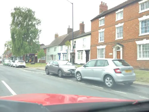
- Stockton High Street, Warwickshire, 21 May 2009, Andy F, CC BY-SA 2.0
- Street-level photo, editid, CC BY-SA 4.0
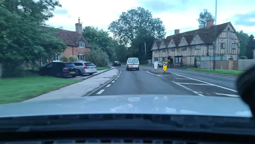
- Street-level photo, southglos, CC BY-SA 4.0
- Street-level photo, alexanderar, CC BY-SA 4.0
- Street-level photo, alexanderar, CC BY-SA 4.0
- Street-level photo, alexanderar, CC BY-SA 4.0
- Street-level photo, alexanderar, CC BY-SA 4.0
- Street-level photo, southglos, CC BY-SA 4.0
- Street-level photo, southglos, CC BY-SA 4.0
- Street-level photo, southglos, CC BY-SA 4.0
Page built November 10, 2026. Spotted a mistake? Tell us or suggest a place.