


Portlethen, United Kingdom
Portlethen is a town of 8,200 people in Scotland, United Kingdom.
Why visit Portlethen
Townapedia lists 7 museums and landmarks, 6 parks and trails, 17 places to eat, 1 place to stay and 2 attractions in and around town.
Highlights include Shakkin' Briggie, Aquhorthies Stone Circle, Auld Bourtreebush and Portlethen Golf Club.
Weather in Portlethen
Forecast from MET Norway (CC BY 4.0). Full forecast
About Portlethen
Portlethen (; Scottish Gaelic: Port Leathain) is a town located approximately 7 miles south of Aberdeen, Scotland, along the A92. The population according to the 2022 census was 8,969, making it the seventh most populous settlement within Aberdeenshire.
From the Wikipedia article Portlethen (this version), under CC BY-SA 4.0.
Things to do2

Shakkin' Briggie
Bridge · 3.4 mi
Suspension footbridge, now disused, in Aberdeen City, Scotland, UK, crosses the River Dee

Museums and landmarks7

Aquhorthies Stone Circle
Monument and historic site · 1.4 mi
Architectural structure in Aberdeenshire, Scotland, UK

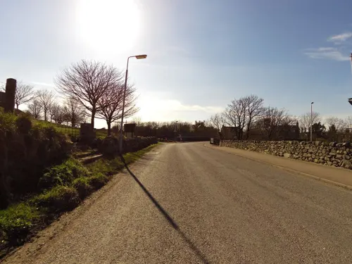

Blairs College
Museum · 3.1 mi
Seminary, now museum, in Aberdeenshire, Scotland, UK

Old Bourtreebush
Monument and historic site · 1.4 mi
Stone circle in Aberdeenshire, Scotland, UK
Parks, trails and playgrounds6


Portlethen Moss
Park · 1.0 mi
Nature reserve in Aberdeenshire, Scotland, UK
Restaurants and cafes17
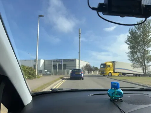
New China House, Take Away
Restaurant · Chinese
Barclayhill Place, Portlethen
Mo-Su 16:30-23:00
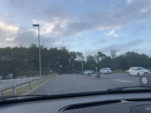
McDonald's
Fast food · Burger · 0.4 mi
Muirend Road, Portlethen
Mo-Th 06:00-24:00; Fr-Sa 06:00-01:00; Su 06:00-24:00


The Ashvale Restaurant
Restaurant · Fish And Chips · 0.6 mi
1 Muirend Court, Portlethen

The Paddock
Bar and pub · 1.0 mi
Mo-Th 12:00-23:00; Fr,Sa 12:00-24:00; Su 11:00-22:00

5 more on the map.
History
Portlethen is located half a mile inland from the small fishing village now known as Old Portlethen.
Portlethen lies about two kilometres east of the ancient Causey Mounth road which was the only available medieval route from coastal points south to Aberdeen. This ancient passage connected the Bridge of Dee with Muchalls Castle and Stonehaven to the south.
In November 1780 during the wars with France the British army used fencible regiments for home defence. The Sutherland Fencibles armed with muskets engaged in action with the crew of armed with muskets and Swivel guns of a French privateer. The engagement was reported in the newspapers of the period.
On 2 September 1799 George Auldjo of Portlethen offered for safe at the New Inn, Aberdeen
'LOT 1. Is to consist of the Lands and Barony of PORTLETHEN, Mill, Mill-lands, Multures and sequels, Sea-port, Haven and Harbour of Portlethen, with the tolls, duties, customs, and anchorages thereof, and White-fishing in the sea adjacent to said lands.'
Much of modern-day Portlethen has been built over the Portlethen Moss Nature Reserve, formerly home to the great crested newt. The remainder of Portlethen Moss is approximately one quarter of the size it was twenty years ago. Portlethen Moss Conservation Group was created to preserve the area.
From the History section of Portlethen on Wikipedia, under CC BY-SA 4.0.
More about Portlethen
Geography
Portlethen is situated to the west of the Dundee–Aberdeen line railway tracks and on both sides of the A92 road, a short distance inland from the North Sea coast. It is in the historic county of Kincardineshire.
Education
There has been a school in Portlethen since the nineteenth century. The original school building (used until 1860) is now the local police station.
Portlethen Academy opened in 1987. The school was relocated to a new building in 2006. Fishermoss School, opened in 1989. Hillside Primary School opened in March 2017.
From the Wikipedia article Portlethen, under CC BY-SA 4.0.
Notable people from Portlethen
 James DuncanAmerican union leader (1857-1928)Photo: Bain, CC BY-SA 4.0
Born in Portlethen, according to Wikidata (CC0). Each name links to its Wikipedia article.
Where to stay1
Churches and places of worship3
Shopping4
Gas and EV charging1
Schools, colleges and libraries5
Healthcare1
Map of Portlethen
47 places. The map loads OpenStreetMap tiles when you open it.
Getting there and nearby towns
Aberdeen International Airport (ABZ) is the nearest airport with scheduled flights listed in OpenStreetMap, 9 miles away.
- Aberdeen 5 mi north, about 9 min by car
- Stonehaven 8 mi south, about 13 min by car
- Westhill 8 mi northwest, about 13 min by car
- Dubford 9 mi north, about 15 min by car
- Inverurie 17 mi northwest, about 28 min by car
- Pitmedden 19 mi north, about 30 min by car
- Ellon 20 mi north, about 33 min by car
- Saint Cyrus 23 mi southwest, about 37 min by car
- Cruden Bay 26 mi northeast, about 42 min by car
- Montrose 27 mi southwest, about 44 min by car
Drive times are estimates from straight-line distance, not routes.
Towns near Portlethen


Keep exploring
Local news
Headlines from INDB.
Reviews, tips and questions
Loading what members have shared...
Sources and licences
- GeoNames (CC BY 4.0): population, coordinates, regions and time zone
- Mapillary (see each image): photos
- OpenStreetMap contributors (ODbL 1.0): places, airports, map data
- Wikidata (CC0 1.0): elevation, founding date, time zone, website, landmarks and historic places
- Wikimedia Commons (see each image): photos
- Wikipedia (CC BY-SA 4.0): overview and history text
Photo credits
- Aberdeen, Cults, St Devenick Suspension Bridge, Watty62, CC BY-SA 4.0
- Bourtreebush stones 2020, Mujinga, CC BY-SA 4.0
- Easter Aquhorthies stone circle, NorthCol, CC BY-SA 4.0
- Street-level photo, StreetSnaps, CC BY-SA 4.0
- Street-level photo, StreetSnaps, CC BY-SA 4.0
- Street-level photo, StreetSnaps, CC BY-SA 4.0
- Street-level photo, smsm1, CC BY-SA 4.0
- Street-level photo, StreetSnaps, CC BY-SA 4.0
- Street-level photo, smsm1, CC BY-SA 4.0
- Street-level photo, smsm1, CC BY-SA 4.0
- Street-level photo, smsm1, CC BY-SA 4.0
- Street-level photo, smsm1, CC BY-SA 4.0
- Street-level photo, smsm1, CC BY-SA 4.0
Page built November 10, 2026. Spotted a mistake? Tell us or suggest a place.