


Why visit Radley
Townapedia lists 6 museums and landmarks, 13 parks and trails, 13 places to eat, 1 place to stay and 15 attractions in and around town.
Highlights include Abingdon Bridge, Abingdon Lock, Abingdon County Hall Museum and Oxfordshire and Buckinghamshire Light Infantry War Memorial.
Weather in Radley
Forecast from MET Norway (CC BY 4.0). Full forecast
About Radley
Radley is a village and civil parish about 2 miles (3 km) northeast of the centre of Abingdon, Oxfordshire. The parish includes the hamlet of Lower Radley on the River Thames. It was part of Berkshire until the 1974 boundary changes transferred it to Oxfordshire. The village is home to Radley College, a famous boarding independent school for boys from the age of thirteen to eighteen that consists of 690 pupils.
From the Wikipedia article Radley (this version), under CC BY-SA 4.0.
Photos of Radley


Things to do15

Abingdon Bridge
Bridge · 2.1 mi
Bridge over the River Thames at the town of Abingdon-on-Thames, England


Clifton Hampden Bridge
Bridge · 2.6 mi
Bridge in Clifton Hampden, South Oxfordshire, England, UK



3 more on the map.
Museums and landmarks6

Abingdon County Hall Museum
Museum · 2.1 mi
Local Authority Museum in South East England, United Kingdom

Oxfordshire and Buckinghamshire Light Infantry War Memorial
Monument and historic site · 3.1 mi
War memorial in Oxford, England


Jarn Mound
Monument and historic site · 3.2 mi
Artificial hill in Oxfordshire, England
Parks, trails and playgrounds13




1 more on the map.
Restaurants and cafes13
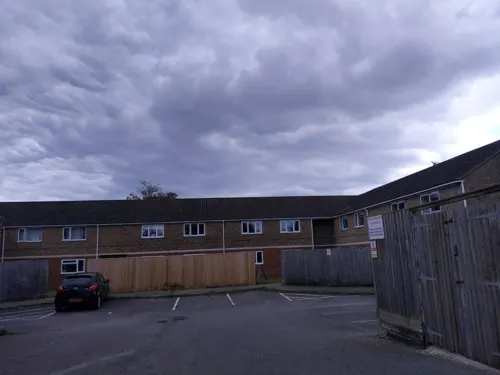
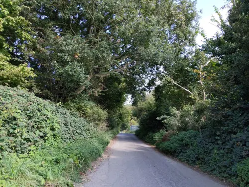
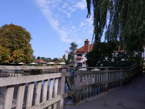
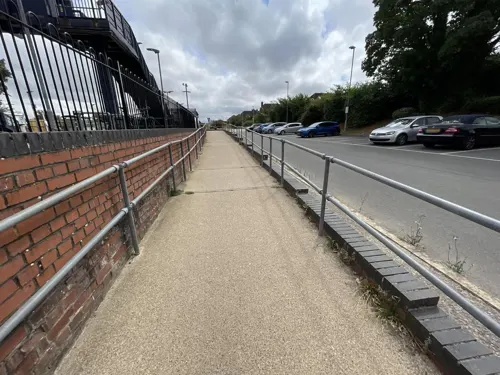
Lucky Chopsticks Takeaway
Fast food · Chinese · 1.5 mi
9 Playfield Road, Kennington
Mo,We-Th 16:30-22:00; Fr-Sa 16:30-22:30

Beans and Blends
Cafe · 1.1 mi
7 Peachcroft Road, Abingdon
Mo-Sa 08:00-17:00; Su 10:00-15:00; PH closed

China Court
Restaurant · Chinese · 1.3 mi
59 Hadland Road, Abingdon


Golden Dragon House
Fast food · Chinese · 1.1 mi
Peachcroft Road, Abingdon
We,Th,Su,Mo 16:30-22:00, Fr 12:00-13:30,16:30-10:30, Sa...
Smarts Fish & Chips
Fast food · Fish And Chips · 1.1 mi
Peachcroft Road, Abingdon
1 more on the map.
History
Radley has a local history society which has produced a number of publications and maintains an archive of local material. Radley vicarage by Radley History Club, 2005. A report of a 'buildings record' survey and archive research undertaken to determine the history, construction, and later development of this 14th-century building The history of Radley by Patrick Drysdale … [and others] Radley History Club, 2002. History of the village from prehistory to the present.
From the History section of Radley on Wikipedia, under CC BY-SA 4.0.
Notable people from Radley
- Sir George Bowyer, 7th BaronetBritish politician (1811-1883)
- John William GreeningEnglish philanthropist and benefactor (1922–2010)
Born in Radley, according to Wikidata (CC0). Each name links to its Wikipedia article.
Where to stay1
Churches and places of worship12
Shopping1
Schools, colleges and libraries6
Healthcare1
Map of Radley
68 places. The map loads OpenStreetMap tiles when you open it.
Getting there and nearby towns
RAF Benson (BEX) is the nearest airport with scheduled flights listed in OpenStreetMap, 8 miles away.
- Abingdon 2 mi southwest, about 3 min by car
- Cowley 3 mi northeast, about 5 min by car
- Sutton Courtenay 4 mi southwest, about 6 min by car
- Garsington 4 mi northeast, about 6 min by car
- Oxford 5 mi north, about 7 min by car
- Didcot 5 mi south, about 9 min by car
- Marcham 5 mi west, about 7 min by car
- Steventon 6 mi southwest, about 9 min by car
- Wallingford 8 mi southeast, about 13 min by car
- Blewbury 8 mi south, about 13 min by car
Drive times are estimates from straight-line distance, not routes.
Towns near Radley


Keep exploring
Local news
Headlines from INDB.
Reviews, tips and questions
Loading what members have shared...
Sources and licences
- GeoNames (CC BY 4.0): population, coordinates, regions and time zone
- Mapillary (see each image): photos
- OpenStreetMap contributors (ODbL 1.0): places, airports, map data
- Wikidata (CC0 1.0): elevation, founding date, time zone, website, landmarks and historic places
- Wikimedia Commons (see each image): photos
- Wikipedia (CC BY-SA 4.0): overview and history text
Photo credits
- Radley StJames SE 01, Motacilla, CC BY-SA 3.0
- Volvo bus outside Radley railway station, Oxfordshire - IMG 0626 (15744889134) (cropped), Ed Webster, CC BY 2.0
- Volvo bus outside Radley railway station, Oxfordshire - IMG 0626 (15744889134), Ed Webster, CC BY 2.0
- AbingdonBrBu02, Motmit ( talk ), CC BY-SA 3.0
- AbingdonLock01, Motmit, CC BY-SA 3.0
- 2008-05 Appleford Rail Bridge (2), Nancy, CC BY-SA 3.0
- Clifton Hampden Bridge (4) (Nancy), Nancy, CC BY-SA 3.0
- Donnington Bridge, Andrew Gray, CC BY-SA 3.0
- IsisBridge01, Motmit ( talk ), CC BY-SA 3.0
- KenningtonRlyBridge01, Motmit, CC BY-SA 3.0
- NunehamRlyBridge01, Motmit ( talk ), CC BY-SA 3.0
- Sandford Lock 05, Simon Burchell, CC BY-SA 4.0
- DSCN3060-abingdon-market-hall, William M. Connolley, CC BY-SA 3.0
- Oxfordshire and Buckinghamshire Light infantry Memorial - south, RexxS, CC BY-SA 4.0
- Sutton Courtney Church from south, Rob Stallard, CC BY-SA 3.0
- Radley Hall, Radley College, 22-05-2007, Andrew Gray, CC BY-SA 3.0
- CarfaxConduit01, Motmit, CC BY-SA 3.0
- Radley StJames SE 03, Motacilla, CC BY-SA 3.0
- Radley crest, Radley College, CC BY 4.0
- MCC-final-horz, COOatMCC, CC BY-SA 4.0
- Earl of Mount Edgcumbe GWR Castle class locomotive, March 2023, Dave_S., CC BY 2.0
- 20180505-Walters-Coaches-TIL6573, User:Alex Noble, CC0
- 20180505-Walters-Coaches-TIL6573 (cropped), User:Alex Noble, CC0
- Old Culham Bridge (North Side), MrBalintore, CC BY-SA 4.0
- Old Iffley Lock 1, EugeneStarostin, CC BY-SA 4.0
- Street-level photo, jdepierre, CC BY-SA 4.0
- Street-level photo, jdepierre, CC BY-SA 4.0
- Street-level photo, jdepierre, CC BY-SA 4.0
- Street-level photo, zymurgic, CC BY-SA 4.0
- Street-level photo, thx, CC BY-SA 4.0
- Street-level photo, jdepierre, CC BY-SA 4.0
- Street-level photo, 4004, CC BY-SA 4.0
- Street-level photo, 4004, CC BY-SA 4.0


Page built November 10, 2026. Spotted a mistake? Tell us or suggest a place.