


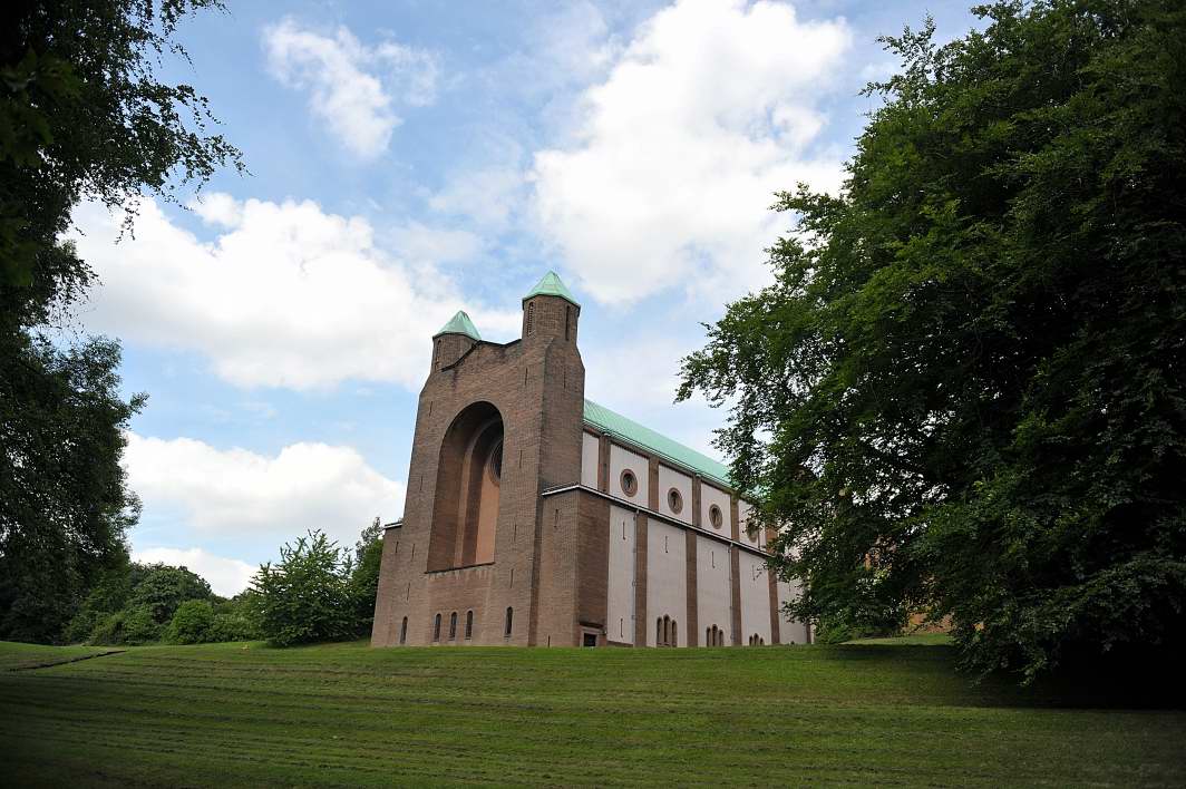
Rastrick, United Kingdom
Rastrick is a town of 11,351 people in England, United Kingdom.
Why visit Rastrick
Townapedia lists 12 museums and landmarks, 17 parks and trails, 101 places to eat, 6 places to stay and 7 attractions in and around town.
Highlights include Brighouse Bridge, Colne Bridge, Huddersfield Library and Art Gallery and Rugby League Heritage Centre.
Weather in Rastrick
Forecast from MET Norway (CC BY 4.0). Full forecast
About Rastrick
Rastrick is a village and local government ward in the county of West Yorkshire, England, between Halifax, 5 miles (8 km) north-west and Huddersfield, 4 miles (7 km) south. It is perhaps best known for its association, along with its neighbour Brighouse, 1 mile (2 km) north-east, with the Brighouse and Rastrick Brass Band. Along with Brighouse, it is part of Calderdale, but shares a Huddersfield postcode and phone number.
From the Wikipedia article Rastrick (this version), under CC BY-SA 4.0.
Things to do7


Colne Bridge
Bridge · 2.5 mi
Grade II listed bridge in Kirklees, West Yorkshire, England, UK


Turnbridge Lift Bridge
Bridge · 3.1 mi
Bridge in West Yorkshire, England, UK



Museums and landmarks12

Huddersfield Library and Art Gallery
Museum · 3.3 mi
Library and art gallery in Huddersfield, United Kingdom
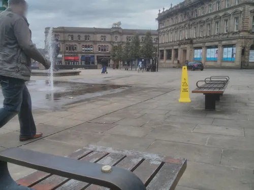
Rugby League Heritage Centre
Museum · 3.1 mi
Former rugby museum in Huddersfield, England

Shibden Hall
Museum · 3.3 mi
Historic house museum. in West Yorkshire, England, United Kingdom

Kirklees Priory
Monument and historic site · 2.1 mi
Monastery in West Yorkshire, UK
Robin Hood's Grave
Monument and historic site · 2.1 mi
Monument in Calderdale, West Yorkshire, England, UK

Anglo Saxon Cross Base
Monument and historic site
Cross base in Churchyard of St. Matthew's Church. Solid, large stone block with 4 tapering sides and indented head for cross shaft (now...
Thomas Sugden and Son Flour Millers
Monument and historic site · 0.7 mi
Thomas Sugden and Son flour millers Born 1796 in Bradford, Thomas Sugden supplied canal barges from his chandlery on this site. His...
Parks, trails and playgrounds17


Greenhead Park
Park · 3.0 mi
Park in Huddersfield, West Yorkshire, England, UK


5 more on the map.
Restaurants and cafes101

Blakeley's Fish & Chips
Cafe · Fish And Chips · 0.7 mi
1 Canal Street, Brighouse
Mo-Fr 11:00-21:00; Sa 11:00-19:30; Su 13:00-17:00

Great Wall
Restaurant · Chinese · 0.9 mi
44 Bradford Road, Brighouse
Tu-Sa 17:00-22:00; Su 16:00-21:30
Mamil Cafe Bar Brighouse
Cafe · Coffee Shop, Sandwich, Brunch, Cake · 0.6 mi
11 Owler Ings Road, Brighouse
Mo-Th 09:30-18:00; Fr-Sa 09:30-22:00; Su 10:00-20:00
Royal Saffron
Restaurant · Indian · 1.3 mi
219 Bradford Road, Brighouse
Mo-Th,Su 17:00-22:45; Fr,Sa 17:00-23:00


Livs Bakes 'n' Cakes
Bakery · 0.8 mi
25B Commercial Street, Brighouse
We-Th 10:00-16:00; Fr-Sa 10:00-21:00; Su 10:30-21:00
Royal Delhi
Restaurant · Indian · 0.7 mi
Park Street, Brighouse
Mo-Th 17:00-23:00; Fr,Sa 17:00-00:30; Su 17:00-23:00
89 more on the map.
History
The name Rastrick is thought to be Viking in origin, with the "..ick" formation being common to many Norwegian Viking placenames, including "Jorvick", the Viking name for York.
Rastrick is well known for its pubs and the "Rastrick Run" is a popular pub crawl.
Rastrick, and the variation Raistrick are English surnames, originating from the area of the town.
From the History section of Rastrick on Wikipedia, under CC BY-SA 4.0.
More about Rastrick
Geography
The ward of Rastrick is bordered to the north by the River Calder, which separates it from the ward of Brighouse. To the east and south the border with the Kirklees ward of Ashbrow roughly follows the M62 motorway. The traditional north western boundary between Elland and Rastrick was the edge of the escarpment, but the Elland Ward boundary is further east, encompassing parts of the old parish of Rastrick as far as Dewsbury Road and the crossroads with New Hey Road.
The village is neighboured by the towns of Brighouse to the north and Elland to the west. The village of Fixby is to the south east and Ainley Top is to the south west.
Education
Rastrick has several primary schools, including Carr Green Junior, Infant and Nursery School, Field Lane Primary School, Longroyde Primary School, and Woodhouse Primary School. Rastrick High School is the secondary school for the area. Highbury School is a specialist school on Lower Edge Road, and The William Henry Smith School is a non-maintained residential school located on Boothroyd Lane.
Until 1985, when the local authority embraced the comprehensive education system, Rastrick was served by Rastrick Grammar School on Ogden Lane and by a secondary school on Rastrick Common.
Rastrick Independent School was a private school located in the village that closed in 2019.
From the Wikipedia article Rastrick, under CC BY-SA 4.0.
Notable people from Rastrick
 Wilf LunnEnglish prop maker (1942–2023)Photo: Andy Dingley, CC BY-SA 3.0
 Thomas HolroydEnglish painter (1821–1904)Photo: Unknown author Unknown author, CC BY-SA 4.0
- Charles ClayEnglish antiquarian and librarian (1885-1978)
- Blakey MartinEnglish footballer (1891-1940)
- Mark AmbientEnglish dramatist, lyricist
- William NichollEnglish rugby union and rugby league footballer (1868-1922)
Born in Rastrick, according to Wikidata (CC0). Each name links to its Wikipedia article.
Where to stay6
Cambridge Waterfront Hotel
Motel and hotel · 0.7 mi
10A Huddersfield Road, Brighouse
Churches and places of worship21
St Francis' Church and Community Hall, Fixby
Church · Anglican · 0.9 mi
Fixby Road, Huddersfield
Shopping18
Gas and EV charging4
Schools, colleges and libraries20
St. Andrew's Church of England (Voluntary Aided) Infant School
School · Anglican · 1.2 mi
Lightcliffe Road, Brighouse
St. Andrew's Church of England (Voluntary Aided) Junior School
School · Anglican · 0.9 mi
Waterloo Road, Brighouse
Healthcare7
Map of Rastrick
213 places. The map loads OpenStreetMap tiles when you open it.
Getting there and nearby towns
Leeds Bradford Airport (LBA) is the nearest airport with scheduled flights listed in OpenStreetMap, 13 miles away.
- Elland 2 mi west, about 3 min by car
- Huddersfield 3 mi south, about 5 min by car
- Cleckheaton 4 mi northeast, about 6 min by car
- Mirfield 4 mi east, about 6 min by car
- Liversedge 4 mi east, about 6 min by car
- Heckmondwike 5 mi east, about 7 min by car
- Bradford 7 mi north, about 12 min by car
- Ossett 9 mi east, about 14 min by car
- Pudsey 9 mi northeast, about 14 min by car
- Shipley 10 mi north, about 16 min by car
Drive times are estimates from straight-line distance, not routes.
Towns near Rastrick


Keep exploring
Local news
Headlines from INDB.
Reviews, tips and questions
Loading what members have shared...
Sources and licences
- GeoNames (CC BY 4.0): population, coordinates, regions and time zone
- Mapillary (see each image): photos
- OpenStreetMap contributors (ODbL 1.0): places, airports, map data
- Wikidata (CC0 1.0): elevation, founding date, time zone, website, landmarks and historic places
- Wikimedia Commons (see each image): photos
- Wikipedia (CC BY-SA 4.0): overview and history text
Photo credits
- Brighouse Bridge by Richard Kay, Richard Kay, CC BY-SA 2.0
- Brighouse bridge 019, Linda Spashett Storye book, CC BY 3.0
- Turnbridge Liftbridge RLH, Richard Harvey, CC BY-SA 3.0
- All Saints Church Elland SE1020, Humphrey Bolton, CC BY-SA 2.0
- Holy Trinity, Huddersfield (12467318383), Tim Green from Bradford, CC BY 2.0
- Church of the Resurrection, DanielCRMirfield, CC BY-SA 3.0
- LawrenceBatleyTheatre, Ian M, CC BY-SA 2.0
- St Peter's Huddersfield, Stan walker, CC BY-SA 3.0
- Royal and Ancient, Colne Bridge (4636537240), Tim Green from Bradford, CC BY 2.0
- Huddersfield Library and Art Gallery, Hammersfan, CC BY-SA 4.0
- Shibden Hall Barn, Tim Green, CC BY 2.0
- Street-level photo, lvl5, CC BY-SA 4.0
- Street-level photo, cuttlebug, CC BY-SA 4.0
- Street-level photo, lvl5, CC BY-SA 4.0
- Street-level photo, mapz4lolz, CC BY-SA 4.0
- Street-level photo, lvl5, CC BY-SA 4.0


Page built November 10, 2026. Spotted a mistake? Tell us or suggest a place.