


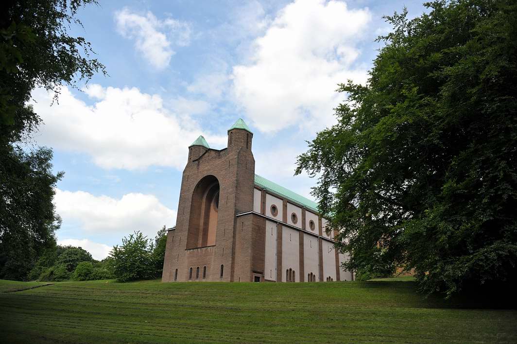
Heckmondwike, United Kingdom
Heckmondwike is a town of 18,149 people in England, United Kingdom.
Why visit Heckmondwike
Townapedia lists 10 museums and landmarks, 18 parks and trails, 69 places to eat, 2 places to stay and 3 attractions in and around town.
Highlights include Ponderosa Zoo, Colne Bridge, Bagshaw Museum and Dewsbury Bus Museum.
Weather in Heckmondwike
Forecast from MET Norway (CC BY 4.0). Full forecast
About Heckmondwike
Heckmondwike is a town in the Kirklees district, West Yorkshire, England, 9 miles (14 km) south west of Leeds. Historically part of the West Riding of Yorkshire, it is close to Cleckheaton and Liversedge. It is in the Spen Valley parliamentary constituency, and had an estimated population of 16,986 at the 2011 Census increasing to 18,149 at the 2021 Census. Heckmondwike forms part of the Heavy Woollen District.
From the Wikipedia article Heckmondwike (this version), under CC BY-SA 4.0.
Things to do3

Ponderosa Zoo
Zoo and aquarium · 0.9 mi
Zoo in Heckmondwike, West Yorkshire, England
Smithies Lane, Heckmondwike
Mo-Su 10:00-17:00; Dec 24-26, Dec 31 off; Jan 01 off

Colne Bridge
Bridge · 3.0 mi
Grade II listed bridge in Kirklees, West Yorkshire, England, UK

Ledgard Bridge
Bridge · 2.5 mi
Grade II listed bridge in Mirfield, Kirklees, West Yorkshire, England, UK
Museums and landmarks10
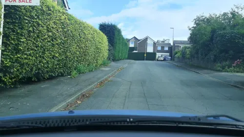
Bagshaw Museum
Museum · 2.0 mi
Local museum in Batley, West Yorkshire, United Kingdom

Dewsbury Bus Museum
Museum · 2.0 mi
Bus museum in Ravensthorpe, West Yorkshire, England

Oakwell Hall
Museum · 2.3 mi
Grade I listed historic house museum in Kirklees, West Yorkshire, England, UK

Red House Museum
Museum · 1.8 mi
Historic house museum. in West Yorkshire, England
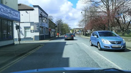

Kirklees Priory
Monument and historic site · 2.6 mi
Monastery in West Yorkshire, UK
Robin Hood's Grave
Monument and historic site · 2.7 mi
Monument in Calderdale, West Yorkshire, England, UK

Parks, trails and playgrounds18

Crow Nest Park
Park · 1.7 mi
Green Flag public park in Yorkshire, England, UK

Wilton Park, Batley
Park · 1.8 mi
A public park in West Yorkshire, England
Heckmondwike Green
Park
Park area located within Heckmondwike Town Centre, containing amongst other features a Bandstand, Memorial Plaque and Heckmondwike War Memorial.

6 more on the map.
Restaurants and cafes69
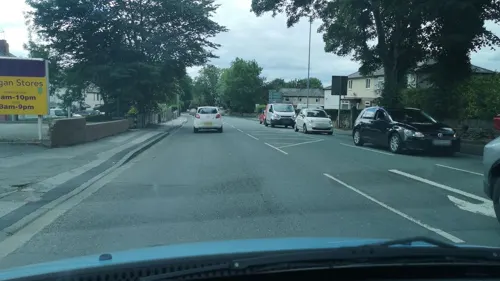
Strada Café
Cafe · 0.6 mi
136A Leeds Road, Heckmondwike
Mo-Fr 09:30-14:30



57 more on the map.
History
During Saxon times, Heckmondwike was a berewick or independent village in the manor of Gomersal, which, before 1066, was held by Dunstan and Gamel.
The Poll Tax of 1379 records seven families in Heckmondwike, about 35 people: including one named Thomas of Stubly. Most lived in isolated farmsteads such as Stubley Farm, on high ground overlooking the marshy Spen Valley floor.
In 1684, there were around 250 people, occupying 50 houses, in the town. The town became famous for manufacturing blankets, and by 1811 the Blanket Hall was built for trade in the town's primary manufacture. It was replaced by a second hall erected in 1839, on Blanket Hall Street in the town centre. Elizabeth Gaskell's biography of Charlotte Brontë in 1857 described the inhabitants of Heckmondwike as "a chapel-going people, very critical of their sermons, tyrannical to their ministers and violent radicals".
The town ceased generating electricity in 1924. The Power Company buildings survive in part on Bath Road.
The remains of the first Blanket Hall were demolished in spring 2008, along with a number of other old buildings including some former Co-op buildings that had been used as the post office and former "George" public house.
A health centre was opened in July 2010 to house two former doctors' practices.
From the History section of Heckmondwike on Wikipedia, under CC BY-SA 4.0.
More about Heckmondwike
Geography
Located at the edge of the Pennine hills, the land rises to the north, east and south of the town centre. The town covers an area of one square mile (640 acres), the town boundary is not the same as the ward boundary.
Heckmondwike has a telephone exchange, north of High Street in the Wakefield 01924 dialling area. The exchange covers Liversedge, and parts of Dewsbury Moor and Staincliffe.
From the Wikipedia article Heckmondwike, under CC BY-SA 4.0.
Notable people from Heckmondwike
 Dave PybusBritish bass playerPhoto: LUIS BLANCO, CC BY 2.0
 John CurwenBritish minister, publisher and inventor of Tonic sol-fa singing method (1816-1880)Photo: William Gush (died 1888), Public domain
 Kim LeadbeaterUK politician, Labour Party MP for Batley and SpenPhoto: ©House of Commons / photography by..., CC BY 3.0
- Thomas Archer Hirstmathematician (1830–1892)
- Jeff ButterfieldEnglish rugby union footballer (1929–2004)
- Dean HoyleEnglish footballer (born 1967)
- James BerryBritish executioner (1852-1913)
- Frederick Wilson WhiteheadEnglish musician
- Walter PorrittFootballer (1914-1993)
- John Henry Hirst19th-century English architect
- George MitchesonBritish politician (1883-1955)
- Clifford Grainge(1927-1989)
Born in Heckmondwike, according to Wikidata (CC0). Each name links to its Wikipedia article.
Where to stay2
Churches and places of worship33
Shopping6
Gas and EV charging4
Schools, colleges and libraries26
Gomersal St Mary's Church of England Voluntary Controlled Primary School
School · Anglican · 1.5 mi
Shirley Avenue, Cleckheaton
Headlands Church of England Voluntary Controlled Junior, Infant and Nursery School
School · Anglican · 0.8 mi
Headlands Road, Liversedge
Staincliffe Church of England Voluntary Controlled Junior School
School · Anglican · 1.0 mi
Staincliffe Hall Road, Batley
Healthcare4
Map of Heckmondwike
175 places. The map loads OpenStreetMap tiles when you open it.
Getting there and nearby towns
Leeds Bradford Airport (LBA) is the nearest airport with scheduled flights listed in OpenStreetMap, 11 miles away.
- Liversedge 1 mi west, about 1 min by car
- Mirfield 2 mi south, about 4 min by car
- Ossett 4 mi southeast, about 7 min by car
- Huddersfield 6 mi southwest, about 9 min by car
- Horbury 6 mi southeast, about 9 min by car
- Pudsey 6 mi north, about 10 min by car
- Bradford 7 mi northwest, about 11 min by car
- Leeds 8 mi northeast, about 13 min by car
- Wakefield 8 mi east, about 12 min by car
- Lofthouse 8 mi east, about 12 min by car
Drive times are estimates from straight-line distance, not routes.
Towns near Heckmondwike


Keep exploring
Local news
Headlines from INDB.
Reviews, tips and questions
Loading what members have shared...
Sources and licences
- GeoNames (CC BY 4.0): population, coordinates, regions and time zone
- Mapillary (see each image): photos
- OpenStreetMap contributors (ODbL 1.0): places, airports, map data
- Wikidata (CC0 1.0): elevation, founding date, time zone, website, landmarks and historic places
- Wikimedia Commons (see each image): photos
- Wikipedia (CC BY-SA 4.0): overview and history text
Photo credits
- Heckmondwike - Upper Independent Chapel and Sunday School, Humphrey Bolton, CC BY-SA 2.0
- Ponderosa Zoo Entrance and General View, TheArmchairSoldier, CC BY-SA 4.0
- 995 and 670 at DBM, 24 Barnsley Road, CC BY-SA 4.0
- Oakwell Hall, Nigel Homer, CC BY-SA 2.0
- Red House Museum 001, Storye book, CC BY 4.0
- Church of the Resurrection, DanielCRMirfield, CC BY-SA 3.0
- St Marys Mirfield 1, Yorks_LF, from the English Wikipedia, CC BY-SA 3.0
- Old Providence Congregational Chapel, Humphrey Bolton, CC BY-SA 2.0
- Church St Peters Birstall 05-02-2018 11-44-24 (41140679685), Mark Stevenson, CC BY 2.0
- Christ Church, Liversedge, Tim Green, CC BY 2.0
- Royal and Ancient, Colne Bridge (4636537240), Tim Green from Bradford, CC BY 2.0
- Ledgard Bridge (3407757746), Tim Green from Bradford, CC BY 2.0
- The Eagle has Landed 1- in Crow Nest Park (8060315604), Tim Green from Bradford, CC BY 2.0
- Street-level photo, cuttlebug, CC BY-SA 4.0
- Street-level photo, cuttlebug, CC BY-SA 4.0
- Street-level photo, cuttlebug, CC BY-SA 4.0
- Street-level photo, cuttlebug, CC BY-SA 4.0
- Street-level photo, cuttlebug, CC BY-SA 4.0
- Street-level photo, cuttlebug, CC BY-SA 4.0
- Street-level photo, cuttlebug, CC BY-SA 4.0
- Street-level photo, cuttlebug, CC BY-SA 4.0
- Street-level photo, cuttlebug, CC BY-SA 4.0
- Street-level photo, cuttlebug, CC BY-SA 4.0
- Street-level photo, cuttlebug, CC BY-SA 4.0
- Street-level photo, cuttlebug, CC BY-SA 4.0
- Street-level photo, cuttlebug, CC BY-SA 4.0
- Street-level photo, cuttlebug, CC BY-SA 4.0
- Street-level photo, cuttlebug, CC BY-SA 4.0
- Street-level photo, cuttlebug, CC BY-SA 4.0
- Street-level photo, cuttlebug, CC BY-SA 4.0
- Street-level photo, cuttlebug, CC BY-SA 4.0
- Street-level photo, cuttlebug, CC BY-SA 4.0


Page built November 10, 2026. Spotted a mistake? Tell us or suggest a place.