


Why visit Romsey
Townapedia lists 9 museums and landmarks, 14 parks and trails, 61 places to eat, 3 places to stay and 6 attractions in and around town.
Highlights include Plaza Theatre, Sadler's Mill, Broadlands House and Emer Bog and Baddesley Common.
Weather in Romsey
Forecast from MET Norway (CC BY 4.0). Full forecast
About Romsey
Romsey is a market town and civil parish in the Test Valley district of Hampshire, England. The town is situated 7 miles (11 km) northwest of Southampton, 11 miles (18 km) southwest of Winchester and 17 miles (27 km) southeast of Salisbury. It sits on the outskirts of the New Forest, just over 3 miles (4.8 km) northeast of its eastern edge. The population of the parish of Romsey was 20,746 at the 2021 census.
From the Wikipedia article Romsey (this version), under CC BY-SA 4.0.
Travel tips from other travellers: Romsey on Wikivoyage (CC BY-SA 4.0).
Photos of Romsey

Things to do6



Museums and landmarks9

Sadler's Mill
Monument and historic site · 0.4 mi
Historic Mill, renovated as 3 houses
1 The Causeway, Romsey

Broadlands House
Monument and historic site · 0.6 mi
Country house at the centre of the Broadlands Estate. Owned by Lord Norton Philip Louis Knatchbull, Baron Brabourne, occasionally open...



Parks, trails and playgrounds14



2 more on the map.
Restaurants and cafes61
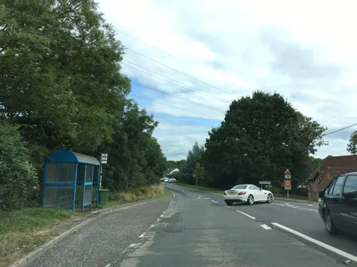
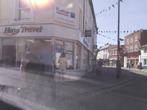
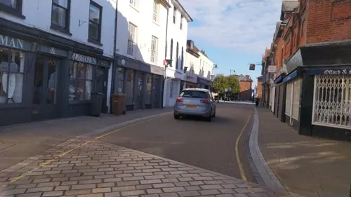

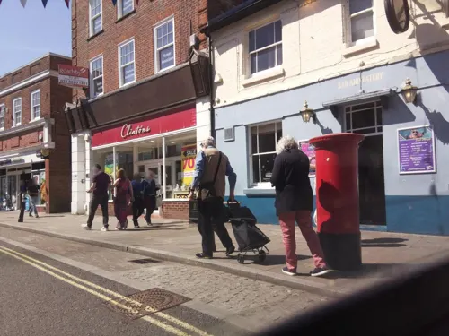
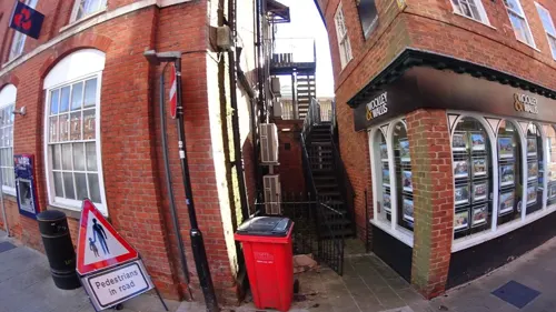
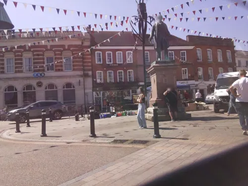
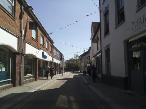
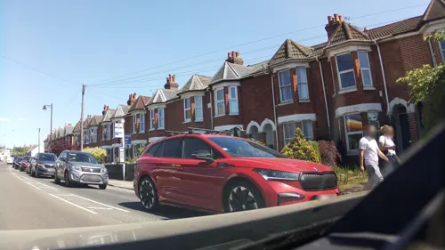

The Duke on The Test
Bar and pub · Regional · 1.3 mi
Greatbridge Road, Romsey
Mo-Sa 07:00-23:00; Su 08:00-21:30

49 more on the map.
History
The first church in Romsey was founded by Edward the Elder in 907 AD for his daughter, Ælflæd, a nun who became the first abbess of Romsey. Edgar the Peaceful re-founded the abbey under the Rule of Benedict in 967 AD, appointing as abbess a noblewoman named Merewenna in 974 AD. Merewenna was given charge of Edgar's stepdaughter, Æthelflæd, who later served as abbess herself. Both Merewenna and Æthelflæd are revered as saints.
The surrounding village prospered alongside the religious community. In 1003 the Danes sacked Romsey and destroyed the Anglo-Saxon church in retaliation for the St Brice's Day massacre. While there is no record of the abbey's restoration, it is written that in 1012 Emma of Normandy gave lands to the abbey and that there were a total of 54 nuns in Romsey during the reign of Cnut the Great.
The Domesday Book of 1086 refers to a population of 127 households in Romsey, along with the earliest records of the watermills that would later establish it as an industrial town. Relative to other Domesday settlements, Romsey had a large population and paid a considerable amount of tax.
Read more of the history
Along with Wilton Abbey nearby, Romsey Abbey became known as a place of learning in the High Middle Ages. In 1086, Matilda of Scotland was sent there to be educated by her aunt, Cristina, who was then the abbess. A number of hopeful suitors visited the princess in Romsey, including the later king William Rufus, whose advances were hindered by her aunt. William was killed in 1100 while hunting in the New Forest, after which his body was carried through Bell Street in Romsey on its way to Winchester Cathedral.
The existing abbey was built in the Norman style between 1120 and 1140 using Chilmark stone. It was likely designed by Henry of Blois, the brother of King Stephen and builder of the Hospital of St Cross in Winchester. The final three arches were added between 1230 and 1240, at which time more than 100 nuns belonged to the foundation. The north transept of the original Saxon church is still visible today.
Henry I granted Romsey its first charter, allowing it to hold a full market each Sunday and a four-day fair at the Feast of St Æthelflæd the Virgin. This was confirmed by Henry II in 1268 and extended to the Feast of St Philip and St James by Henry III in 1272. Given these charters, it can be assumed that Romsey was flourishing in the 13th century, perhaps supported by a lucrative woollen industry whereby wool was woven and then fulled or pounded before being dyed and exported from nearby Southampton. It is suggested that towns like Romsey and New Alresford prospered as a result of their location, which allowed them to exploit the downland sheep economy while retaining access to a major port to the south.
Romsey continued to grow and prosper until the Black Death struck the town in 1348–9, killing up to half its population of roughly 1,000 individuals. It is recorded that 90 nuns voted in the 1333 abbatial election but never more than 25 in elections held from 1350 onwards. Plague arrived again in 1526, with Henry VIII abandoning his plans to spend the eve of the Assumption in Romsey and instead heading to Winchester. Prosperity never returned to the abbey.
Romsey Abbey was finally suppressed by Henry VIII upon the dissolution of the monasteries in 1539, during which time many religious buildings were destroyed. The abbey itself was saved from demolition, ostensibly due to a section dedicated to St Lawrence that was used as the parish church. In 1544, the townspeople were allowed to purchase the abbey from the Crown for a sum of £100. The section that saved it was subsequently demolished, however, with the remainder being used as the parish church that exists today.
By the mid-16th century Romsey's population was about 1,500, its woollen and tanning industries having fuelled growth. After his visit to Broadlands in 1607, James I granted the town a charter and made it a borough. This gave official status to an informal local government that had been running the town's affairs since the Dissolution in 1539. Romsey could now have a corporation comprising a mayor, six aldermen, twelve chief burgesses and a town clerk. There was also to be a local law court under a Court Recorder assisted by two sergeants-at-mace and, over all, a High Steward, the first of whom was the Earl of Southampton.
Romsey changed hands several times during the English Civil War, with both Royalist and Parliamentary troops occupying and plundering the town. Most significant were the events of 1643 in which William Waller, having captured Winchester, marched southwest to Romsey where his soldiers defaced the abbey and destroyed its organ. A skirmish on Middle Bridge, downstream of Sadler's Mill, may have preceded these events.
The town's woollen industry struggled through the 18th century, with competition from the North effectively halving the wages of woollen workers in the southern and eastern parts of the country by the 1770s. As the townspeople looked for more stable work in burgeoning industries like brewing, papermaking and sackmaking, Romsey continued to grow as a modern market town. In 1794 a canal was dug from Redbridge to Andover, passing through Romsey and thus improving its access to nearby trade centres. The town's population was 4,274 in the first census of 1801.
Lord Palmerston, the 19th-century British prime minister, lived at Broadlands in his autumn years. In the 1850s he delivered a number of political and religious lectures about the town, including one to the Labourers' Encouragement Society in 1859. Though he had hoped to be buried at Romsey Abbey, he was in 1865 given a state funeral and subsequently buried at Westminster Abbey. His statue, sculpted by Matthew Noble, has stood in Market Place since 1868.
From the History section of Romsey on Wikipedia, under CC BY-SA 4.0.
More about Romsey
Education
In around 1850, Osborne House School, located in Church Street, was established by John Frederick Osborne, who was a councillor as well as headmaster. In 1877, he was mayor of Romsey. It closed for a few years after his death, reopening in 1904 under the same name, owned by William Summers, who was the headmaster. It was a boarding school and offered "Special attention... to backward pupils and to those requiring preparation for business or professional life", including preparation for entrance to London University (Summers' alma mater), Oxford, and Cambridge", as well as other examinations. Summers died during World War II, and it started to be used by the council as an overflow for council schools and as a centre for school dinners at some point. It was demolished in the 1960s and new buildings erected on the site. Osborne House School stood on the site of present-day Abbey Walk. During the 1920s, secondary school boys continued to wear shorts.
Gilbert Percy Whitley, later an ichthyologist and curator of fishes at the Australian Museum in Sydney for about 40 years, attended Osborne House School.
From the Wikipedia article Romsey, under CC BY-SA 4.0.
Notable people from Romsey
 William PettyEnglish scientist, philosopher, statistician and economist (1623-1687)Photo: Isaac Fuller, Public domain
 John Russell ReynoldsBritish neurologist and physician (1828–1896)Photo: Unknown author Unknown author, CC BY 4.0
 James Risdon BennettEnglish doctor, son of the minister abovePhoto: Unknown engraver, Public domain
 Tim SillsEnglish footballer (born 1979)Photo: Spiderone, CC0
 Charles Kennedy ScottEnglish organist and conductor (1876-1965)Photo: Scanned by me Jimmy3d0 ( talk )..., CC0
- Wilbert AwdryBritish vicar and author (1911–1997)
- Ben Mansfieldactor
- Nigel SpackmanEnglish footballer and manager (born 1960)
- Margaret BuckinghamFrench-British biologist
- Harry DennisEnglish footballer (born 1903)
- Bert ShelleyEnglish footballer (1899-1971)
- Andy CookEnglish footballer (born 1969)
Born in Romsey, according to Wikidata (CC0). Each name links to its Wikipedia article.
Where to stay3
Churches and places of worship6
Shopping17
Gas and EV charging4
Schools, colleges and libraries8
Healthcare6
Map of Romsey
134 places. The map loads OpenStreetMap tiles when you open it.
Getting there and nearby towns
Southampton Airport (SOU) is the nearest airport with scheduled flights listed in OpenStreetMap, 7 miles away.
- Southampton 7 mi southeast, about 12 min by car
- Verwood 18 mi southwest, about 29 min by car
- Tidworth 18 mi northwest, about 29 min by car
- Portsmouth 22 mi southeast, about 36 min by car
- Ryde 23 mi southeast, about 37 min by car
- Bournemouth 25 mi southwest, about 40 min by car
- Wimborne Minster 25 mi southwest, about 41 min by car
- Basingstoke 26 mi northeast, about 42 min by car
- South Hayling 27 mi southeast, about 43 min by car
- Poole 28 mi southwest, about 46 min by car
Drive times are estimates from straight-line distance, not routes.
Towns near Romsey


Keep exploring
Local news
Headlines from INDB.
Reviews, tips and questions
Loading what members have shared...
Sources and licences
- GeoNames (CC BY 4.0): population, coordinates, regions and time zone
- Mapillary (see each image): photos
- OpenStreetMap contributors (ODbL 1.0): places, airports, map data
- Wikidata (CC0 1.0): elevation, founding date, time zone, website, landmarks and historic places
- Wikimedia Commons (see each image): photos
- Wikipedia (CC BY-SA 4.0): overview and history text
Photo credits
- Romsey, AlanFord at English Wikipedia, Public domain
- Romsey Working Men's Conservative Club 20220804 163748, Dcs57, CC BY-SA 4.0
- The Exchange, Romsey, WFan, CC BY-SA 4.0
- Romsey Abbey 2022b, Geni, CC BY-SA 4.0
- Broadlands, Unknown author, CC BY-SA 3.0
- Sadler's Mill 2005, DeSigley, Public domain
- Hunters Inn, Winchester Road, Crampmoor, near Romsey (NHLE Code 1166414) (May 2021), Hassocks5489, CC0
- Romsey united reformed church, Sun2Shine, CC BY-SA 4.0
- Romsey Baptist Church, 22 Bell Street, Romsey (NHLE Code 1277492) (May 2021) (4), User:Hassocks5489, CC0
- King John's House, Romsey, Murgatroyd49, CC BY-SA 4.0
- Lord palmerston, Sun2Shine, CC BY-SA 4.0
- Street-level photo, southglos, CC BY-SA 4.0
- Street-level photo, southglos, CC BY-SA 4.0
- Street-level photo, noid, CC BY-SA 4.0
- Street-level photo, southglos, CC BY-SA 4.0
- Street-level photo, southglos, CC BY-SA 4.0
- Street-level photo, noid, CC BY-SA 4.0
- Street-level photo, southglos, CC BY-SA 4.0
- Street-level photo, southglos, CC BY-SA 4.0
- Street-level photo, noid, CC BY-SA 4.0
- Street-level photo, southglos, CC BY-SA 4.0
- Street-level photo, noid, CC BY-SA 4.0
- Street-level photo, southglos, CC BY-SA 4.0
- Street-level photo, southglos, CC BY-SA 4.0
- Street-level photo, southglos, CC BY-SA 4.0
- Street-level photo, noid, CC BY-SA 4.0
- Street-level photo, southglos, CC BY-SA 4.0
- Street-level photo, southglos, CC BY-SA 4.0
- Street-level photo, southglos, CC BY-SA 4.0
- Street-level photo, southglos, CC BY-SA 4.0
- Street-level photo, southglos, CC BY-SA 4.0
- Street-level photo, southglos, CC BY-SA 4.0
- Street-level photo, southglos, CC BY-SA 4.0
- Street-level photo, southglos, CC BY-SA 4.0
- Street-level photo, OrangeHurst97, CC BY-SA 4.0
- Street-level photo, southglos, CC BY-SA 4.0


Page built November 10, 2026. Spotted a mistake? Tell us or suggest a place.