


Wimborne Minster, United Kingdom
Wimborne Minster is a town of 15,552 people in England, United Kingdom.
Why visit Wimborne Minster
Townapedia lists 25 museums and landmarks, 63 parks and trails, 148 places to eat, 15 places to stay and 12 attractions in and around town.
Highlights include Tivoli Theatre, Bourne Valley Viaducts, Museum of East Dorset and Kingston Lacy.
Weather in Wimborne Minster
Forecast from MET Norway (CC BY 4.0). Full forecast
About Wimborne Minster
Wimborne Minster (also known as Wimborne, ) is a market town and civil parish in Dorset, England. It lies at the confluence of the River Stour and the River Allen, 5 miles (8 km) north of Poole, on the Dorset Heaths, and is part of the South East Dorset conurbation. At the 2021 census, the parish had a population of 9,059, while the wider Wimborne built-up area (including the neighbouring Colehill) had a population of 16,630.
From the Wikipedia article Wimborne Minster (this version), under CC BY-SA 4.0.
Travel tips from other travellers: Wimborne Minster on Wikivoyage (CC BY-SA 4.0).
Things to do12
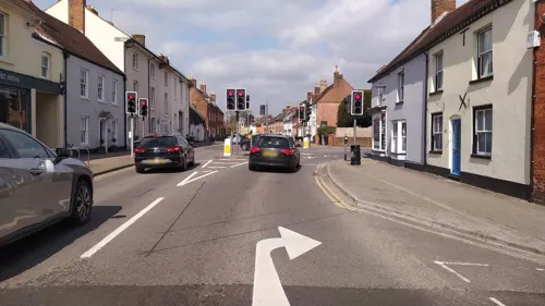


Lady Wimborne Bridge
Bridge · 0.6 mi
Bridge in Poole, Dorset, England, UK

The Lighthouse
Cinema and theater · 4.2 mi
Arts centre (concert hall, theatre and cinema) in Poole, Dorset, UK

Bournemouth Little Theatre club
Cinema and theater · 5.2 mi
Community theatre in Bournemouth,England
Brownsea Open Air Theatre
Cinema and theater · 4.3 mi
Theatre in Dorset, England


Vue Poole
Cinema and theater · 2.9 mi
Taken over by Vue which used to be a Cineworld. Located on the Ground floor of Tower Park, which has a shared lift with Lemur Landings...
Tower Retail Park, Poole


Museums and landmarks25
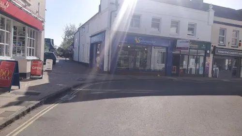

Kingston Lacy
Monument and historic site · 2.8 mi
Country house with Bankes' Collections near Wimborne Minster, Dorset, England, UK

Badbury Rings
Monument and historic site · 4.2 mi
Iron Age hill fort in east Dorset, England, UK

Poole Museum
Museum · 4.9 mi
Grade I listed local museum in Poole, United Kingdom



Philae obelisk
Monument and historic site · 2.8 mi
Obelisk found at Philae, Egypt
Dudsbury Camp
Monument and historic site · 4.0 mi
Hillfort in Dorset, England, UK
13 more on the map.
Parks, trails and playgrounds63



51 more on the map.
Restaurants and cafes148
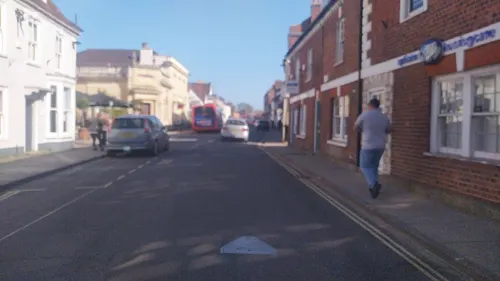
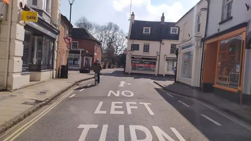
Bear
Bar and pub · Breakfast, Cake, Coffee Shop · 1.1 mi
71 High Street, Wimborne Minster
Mo-We 08:00-17:00; Th-Sa 08:00-22:00; Su 08:30-17:00
Rimjhim
Restaurant · Nepalese, Indian · 1.2 mi
4 West Street, Wimborne Minster
Tu-Su 12:00-14:30,17:30-23:00; Mo off


The Bikers Loft
Cafe · Cake, Coffee Shop · 3.7 mi
11 Ventura Place
Th, Sa 09:00-17:00; Fr 09:00-21:00; Su 10:00-16:00

136 more on the map.
More about Wimborne Minster
Economy
The aerospace company Cobham plc has headquarters in Wimborne. Home decoration company Farrow & Ball began in the town, and is still headquartered nearby in Ferndown. The economy of the town is dedicated towards leisure and has shops, restaurants and pubs. Tourism is an aspect in the town's economy. The town is also served by a Waitrose located on the old Cricket Green and a Co-op supermarket.
Arts and culture
At weekends and national holidays, the town crier can be seen in the main square and around the Minster. The legacy and position of the town crier date back to the English Civil War. The town has a large civil war reenactment society, which performs every year.
The town has a well-established and large market, the Wimborne Market. The market is held on a Friday, Saturday and Sunday. It was previously located in the town centre but moved out several years ago to a site on the edge of town to accommodate its size.
Every year Wimborne hosts the longest fireworks display in Dorset, as part of its Guy Fawkes celebrations; a county record that it has held since 2004. The bonfire and pyrotechnics display is held each year in the grounds of St Michael's Church of England Middle School and is well supported by many thousands of people from the town, Colehill village and the surrounding area. All proceeds are donated each year to local schools, and since 2004 over £61,000 has been raised for local school projects and equipment.
Every two years in mid-August, the Park Initiative, an interchurch charity working on Leigh Park estate, holds a community event called "Alive in the Park" in the centre of the estate using a large marquee.
Wimborne Minster is twinned with Ochsenfurt in Bavaria, Germany, and Valognes in Normandy, France.
Education
The town has three first schools (St John's, Wimborne and Pamphill) and two middle schools (St Michael's and Allenbourn). Wimborne First School, formerly Wimborne Primary School, has been educating the children of Wimborne Minster to primary level since 1911. Wimborne and the adjacent area of Merley are served by two upper schools: Corfe Hills School and Queen Elizabeth's School.
Queen Elizabeth's School has very close links with the Minster and was founded by Lady Margaret Beaufort in 1497. After her death the school became Wimborne Grammar School. Although the grammar school buildings still remain they have now been converted to flats. The school was established on its current site in 1972 after the merging of Wimborne Grammar School and the county modern school.
The private schools Dumpton School and Canford School are both located nearby. The nearby first schools of Hayeswood and Colehill serve Wimborne.
From the Wikipedia article Wimborne Minster, under CC BY-SA 4.0.
Notable people from Wimborne Minster
 Robert FrippEnglish guitarist, composer and record producerPhoto: Raph_PH, CC BY 2.0
 Anthony Ashley Cooper, 1st Earl of ShaftesburyEnglish politician and founder of the Whig party (1621-1683)Photo: John Greenhill, Public domain
 Jack RaymondBritish actor and film director (1886-1953)Photo: Josef von Sternberg, Public domain
 Barney StoreyEnglish racing cyclistPhoto: David Jones from Isle of Wight,..., CC BY 2.0
 Alfred Dudley WardBritish Army generalPhoto: Harry Pot for Anefo, CC0
 Roo PanesBritish singer-songwriterPhoto: DuyLuu, CC BY-SA 4.0
 Neil MiddleditchBritish speedway riderPhoto: Lawson Speedway, Public domain
 William CoxEnglish soldier and early Australian pioneer (1764-1837)Photo: Charles Rodius, Public domain
- Montague Druittsuspect in the Jack the Ripper murders, cricketer, barrister and schoolteacher (1857-1888)
- Alec StockBritish footballer and manager (1917-2001)
- George Douglas-Hamilton, 10th Earl of SelkirkScottish nobleman and Conservative politician (1906-1994)
- Alex BurghartBritish Conservative party politician (born 1977)
Born in Wimborne Minster, according to Wikidata (CC0). Each name links to its Wikipedia article.
Where to stay15
Dudsbury Golf Club Hotel & Spa
Motel and hotel · 3.6 mi
Christchurch Road, Ferndown
white house bed and breakfast
Motel and hotel · 3.8 mi
31a Dorchester Road, Poole
Churches and places of worship69
Shopping33
Gas and EV charging14
Schools, colleges and libraries65
Hampreston Church of England Voluntary Aided First School
School · Anglican · 2.6 mi
Hampreston Village, Wimborne
Healthcare23
Map of Wimborne Minster
250 places. The map loads OpenStreetMap tiles when you open it.
Getting there and nearby towns
Bournemouth Airport (BOH) is the nearest airport with scheduled flights listed in OpenStreetMap, 6 miles away.
- Poole 5 mi south, about 8 min by car
- Bournemouth 6 mi southeast, about 10 min by car
- Southampton 27 mi east, about 43 min by car
- Portsmouth 39 mi east, about 1 h by car
- Bath 44 mi north, about 1 h 15 min by car
- Basingstoke 51 mi northeast, about 1 h 15 min by car
- Royal Wootton Bassett 53 mi north, about 1 h 30 min by car
- Bristol 54 mi northwest, about 1 h 30 min by car
- Swindon 54 mi north, about 1 h 30 min by car
- Yate 56 mi north, about 1 h 30 min by car
Drive times are estimates from straight-line distance, not routes.
Towns near Wimborne Minster


Keep exploring
Local news
Headlines from INDB.
Reviews, tips and questions
Loading what members have shared...
Sources and licences
- GeoNames (CC BY 4.0): population, coordinates, regions and time zone
- Mapillary (see each image): photos
- OpenStreetMap contributors (ODbL 1.0): places, airports, map data
- Wikidata (CC0 1.0): elevation, founding date, time zone, website, landmarks and historic places
- Wikimedia Commons (see each image): photos
- Wikipedia (CC BY-SA 4.0): overview and history text
Photo credits
- Wimborne Minster June 2015, Bellminsterboy, CC BY-SA 4.0
- PooleCentrePan1, LordHarris at English Wikipedia, CC BY 2.5
- Kingston Lacy House (South), Vauxford, CC BY-SA 4.0
- Badbury Rings, Shapwick, Dorset, Simaron, CC BY-SA 2.0
- Poole (2021-11-13) 113, Simon Cobb, CC0
- PooleParkLake2, LordHarris at English Wikipedia, Public domain
- St George's Church Oakdale Poole Dorset, Dave Kelly, CC BY-SA 2.0
- Hampreston Church, John Smitten, CC BY-SA 2.0
- Canford School, Anastasiaacole, CC BY-SA 3.0
- Dumpton School, Wimborne - aerial view, Carolinekapalu, CC BY-SA 4.0
- St andrews church kinson, User:Jbattersby, CC BY-SA 3.0
- View of the Southern Side of Saint Cuthburga's Church, Wimborne Minster, Ethan Doyle White, CC BY-SA 4.0
- Bourne Valley Viaducts (51277081441), Alex Liivet from Chester, United Kingdom, CC0
- Christ Church, Alumhurst Road, Westbourne, Bournemouth (September 2022) (5), User:Hassocks5489, CC0
- Lady Wimborne Bridge, Dorset, JackPeasePhotography, CC BY 2.0
- Upton House Poole, Stalinvlad, CC0
- White Mill, Stour in spate - panoramio, Adrian Farwell, CC BY 3.0
- Street-level photo, noid, CC BY-SA 4.0
- Street-level photo, noid, CC BY-SA 4.0
- Street-level photo, noid, CC BY-SA 4.0
- Street-level photo, noid, CC BY-SA 4.0
- Street-level photo, noid, CC BY-SA 4.0
- Street-level photo, noid, CC BY-SA 4.0
- Street-level photo, noid, CC BY-SA 4.0
- Street-level photo, noid, CC BY-SA 4.0
- Street-level photo, noid, CC BY-SA 4.0
- Street-level photo, noid, CC BY-SA 4.0
- Street-level photo, noid, CC BY-SA 4.0
- Street-level photo, noid, CC BY-SA 4.0
- Street-level photo, noid, CC BY-SA 4.0
- Street-level photo, noid, CC BY-SA 4.0
- Street-level photo, noid, CC BY-SA 4.0
- Street-level photo, OrangeHurst97, CC BY-SA 4.0
- Street-level photo, noid, CC BY-SA 4.0


Page built November 10, 2026. Spotted a mistake? Tell us or suggest a place.