


Saltcoats, United Kingdom
Saltcoats is a town of 12,250 people in Scotland, United Kingdom.
Why visit Saltcoats
Townapedia lists 14 museums and landmarks, 6 parks and trails, 23 places to eat, 2 places to stay and 1 attraction in and around town.
Highlights include North Ayrshire Heritage Centre, HMS A10 and Stevenston Beach.
Weather in Saltcoats
Forecast from MET Norway (CC BY 4.0). Full forecast
About Saltcoats
Saltcoats (Scottish Gaelic: Baile an t-Salainn; Scots: Saulcuts) is a town on the west coast of North Ayrshire, Scotland. The name is derived from the town's earliest industry when salt was harvested from the sea water of the Firth of Clyde, carried out in small cottages along the shore. It is part of the 'Three Towns' conurbation along with Ardrossan and Stevenston and is the third largest town in North Ayrshire.
From the Wikipedia article Saltcoats (this version), under CC BY-SA 4.0.
Travel tips from other travellers: Saltcoats on Wikivoyage (CC BY-SA 4.0).
Things to do1
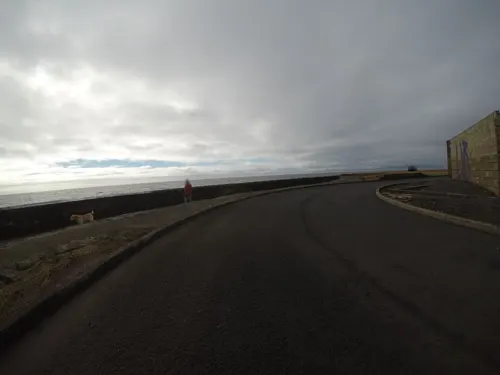
Museums and landmarks14
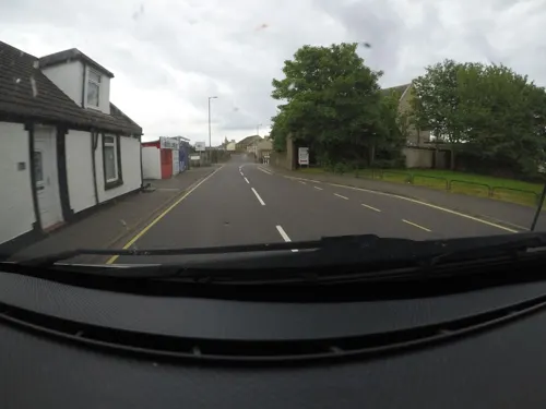



Stevenson Boys Brigade 125th Anniversary Memorial
Monument and historic site · 1.4 mi
2 more on the map.
Parks, trails and playgrounds6



Restaurants and cafes23
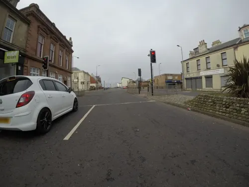
Shahs Place
Restaurant · Indian · 1.1 mi
57 Princes Street, Ardrossan
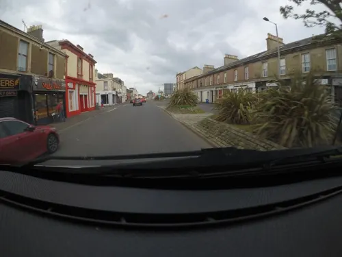
Nonsuch Lounge & Sports Bar
Bar and pub · 0.4 mi
35/37 Windmill Street, Saltcoats



11 more on the map.
History
The history of Saltcoats can be traced back to when the monks of Kilwinning Abbey discovered easily accessible coastal coal seams at Saltcoats in the 1200s, it expanded from small scattering of buildings. The coal proved an efficient source of heat for evaporating saltwater for the manufacturing of salt, and by the 1500s, King James V funded sheds along the shoreline, leading to a successful salt pans industry. This sector of the economy is where Saltcoats gets its name.
In 1528, Saltcoats was granted status as a burgh leading to the creation of a market. By the middle of the 1600s, Saltcoats' primary sources of income were the import of corn and butter, as well as the sale of cattle and fish (mostly herring) to Ireland. Local farmers produced cheese, butter, wheat, oats, and potatoes. Cottage labourers in the town were given access to hand looms so they could weave muslins for the Glasgow and Paisley markets. On the outskirts of the town, chemical operations that produce magnesium and Epsom salts ran on waste materials from the salt-panning business.
Read more of the history
In the late 18th century, several shipyards operated at Saltcoats, producing some 60 to 70 ships. The leading shipbuilder was William Ritchie, but in 1790 he moved his business to Belfast. In 1793, it was recorded that Saltcoats had around 400 houses, with three operational shipyards remaining. By 1820, this had climbed to 600 houses, with a population of 3,413 being noted.
By the early 19th century, the town had stopped producing ships. Saltcoats Town Hall, which dates back to 1826, is a Category B listed building.
Saltcoats had various amenities, lodging, and entertainment required to develop into a prosperous seaside resort as a result of the vast, protected bay known as "South Beach" between Saltcoats and Ardrossan and a Beach Pavilion built in the 1920s. Its importance as a holiday destination declined with the onset of cheap air travel and mass summer migrations to the Mediterranean.
From the History section of Saltcoats on Wikipedia, under CC BY-SA 4.0.
Notable people from Saltcoats
 Steve ClarkeScottish association football player and manager (born 1963)Photo: Bryan Berlin, CC BY-SA 4.0
 Bobby LennoxScottish footballer (born 1943)Photo: Joost Evers / Anefo, CC BY-SA 3.0 nl
 Janice GallowayScottish writerPhoto: summonedbyfells, CC BY 2.0
 Hugh Allanshipping magnate, financier and capitalist (1810–1882)Photo: William Notman, 1879., CC0
 Al HowieCanadian marathon runner (1945–2016)Photo: Tom Hawthorne, CC0
 Liam MorrisonScottish footballerPhoto: Timmy96, CC0
 Johanna BaxterScottish politicianPhoto: ©House of Commons / Roger Harris, CC BY 3.0
- Otto Carl KiepGerman diplomat and politician
- Hugh McMahon (politician)British politician (born 1938)
- Kenneth CampbellScottish airman (1917–1941)
- Margaret Ford, Baroness FordBritish peer and Chair of Scottish Television Holdings PLC and Barchester Healthcare (born 1957)
- Peter DuncanBritish politician (born 1965)
Born in Saltcoats, according to Wikidata (CC0). Each name links to its Wikipedia article.
Where to stay2
Churches and places of worship12
The Church of Saint Peter in Chains
Church · Roman Catholic · 1.0 mi
1 South Crescent Road, Ardrossan
South Beach Baptist Church
Church · Baptist · 0.5 mi
66 Ardrossan Road, Saltcoats
St Andrew's Scottish Episcopal Church
Church · Episcopal · 0.5 mi
South Crescent Road, Ardrossan
Stevenson Parish Church
Church · Church Of Scotland · 1.3 mi
New Street, Stevenston
Shopping8
Gas and EV charging5
Schools, colleges and libraries13
Healthcare1
Map of Saltcoats
85 places. The map loads OpenStreetMap tiles when you open it.
Getting there and nearby towns
Glasgow Prestwick Airport (PIK) is the nearest airport with scheduled flights listed in OpenStreetMap, 12 miles away.
- Ardrossan 1 mi northwest, about 2 min by car
- Stevenston 1 mi east, about 2 min by car
- Kilwinning 3 mi east, about 5 min by car
- Irvine 5 mi east, about 8 min by car
- West Kilbride 5 mi northwest, about 7 min by car
- Troon 8 mi southeast, about 13 min by car
- Glasgow 26 mi northeast, about 42 min by car
- Wishaw 35 mi east, about 56 min by car
- Whitburn 46 mi east, about 1 h 15 min by car
- Stranraer 52 mi south, about 1 h 30 min by car
Drive times are estimates from straight-line distance, not routes.
Towns near Saltcoats


Keep exploring
Local news
Headlines from INDB.
Reviews, tips and questions
Loading what members have shared...
Sources and licences
- GeoNames (CC BY 4.0): population, coordinates, regions and time zone
- Mapillary (see each image): photos
- OpenStreetMap contributors (ODbL 1.0): places, airports, map data
- Wikidata (CC0 1.0): elevation, founding date, time zone, website, landmarks and historic places
- Wikimedia Commons (see each image): photos
- Wikipedia (CC BY-SA 4.0): overview and history text
Photo credits
- Saltcoats - old railway site, Rosser1954, CC BY-SA 3.0
- 11367 Ex Baptist Church, Saltcoats 001, WeeHolly, CC BY-SA 4.0
- 10880 Salvation Army, Saltcoats 003, WeeHolly, CC BY-SA 4.0
- 10880 Salvation Army, Saltcoats 006, WeeHolly, CC BY-SA 4.0
- HM Submarine A10, conning tower awash (Warships To-day, 1936), Andy Dingley (scanner), Public domain
- Ardrossan Academy, Mwhite148, Public domain
- ArdrossanCastle1, TravisNygard, CC BY 3.0
- St. Matthew's Academy, Saltcoats, MWhite148 ( talk ), Public domain
- Street-level photo, mfk, CC BY-SA 4.0
- Street-level photo, mfk, CC BY-SA 4.0
- Street-level photo, mfk, CC BY-SA 4.0
- Street-level photo, mfk, CC BY-SA 4.0
- Street-level photo, mfk, CC BY-SA 4.0
- Street-level photo, mfk, CC BY-SA 4.0
- Street-level photo, mfk, CC BY-SA 4.0
- Street-level photo, mfk, CC BY-SA 4.0
- Street-level photo, mfk, CC BY-SA 4.0
- Street-level photo, hobgoblin, CC BY-SA 4.0
- Street-level photo, mfk, CC BY-SA 4.0
- Street-level photo, mfk, CC BY-SA 4.0
- Street-level photo, mfk, CC BY-SA 4.0
- Street-level photo, mfk, CC BY-SA 4.0
- Street-level photo, mfk, CC BY-SA 4.0
- Street-level photo, mfk, CC BY-SA 4.0
- Street-level photo, mfk, CC BY-SA 4.0
- Street-level photo, mfk, CC BY-SA 4.0
- Street-level photo, mfk, CC BY-SA 4.0
- Street-level photo, mfk, CC BY-SA 4.0
- Street-level photo, mfk, CC BY-SA 4.0
- Street-level photo, hobgoblin, CC BY-SA 4.0
- Street-level photo, mfk, CC BY-SA 4.0
- Street-level photo, mfk, CC BY-SA 4.0
- Street-level photo, hobgoblin, CC BY-SA 4.0
- Street-level photo, mfk, CC BY-SA 4.0

Page built November 10, 2026. Spotted a mistake? Tell us or suggest a place.