


Stranraer, United Kingdom
Stranraer is a town of 10,510 people in Scotland, United Kingdom.
Why visit Stranraer
Townapedia lists 8 museums and landmarks, 6 parks and trails, 41 places to eat and 16 places to stay in and around town.
Highlights include Stranraer Museum, Castle of St. John and Stair Park.
Weather in Stranraer
Forecast from MET Norway (CC BY 4.0). Full forecast
About Stranraer
Stranraer (Scottish Gaelic: An t-Sròn Reamhar [ən̪ˠˌt̪ʰɾɔːn ˈɾãũ.əɾ]; Scots: Stranrawer), also known as the Toon or the Cleyhole, is a town in Dumfries and Galloway, Scotland, on Loch Ryan and the northern side of the isthmus joining the Rhins of Galloway to the mainland. Stranraer is Dumfries and Galloway's second-largest town, with a population of 9,751 in 2022.
From the Wikipedia article Stranraer (this version), under CC BY-SA 4.0.
Travel tips from other travellers: Stranraer on Wikivoyage (CC BY-SA 4.0).
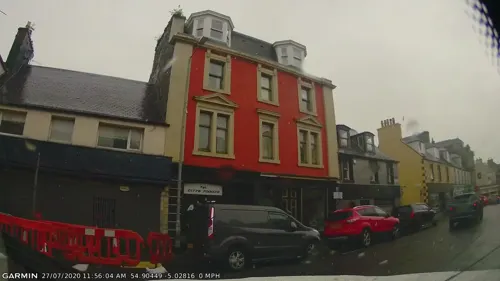
Photos of Stranraer

Museums and landmarks8

Castle of St. John
Museum
Castle in Dumfries and Galloway, Scotland, UK
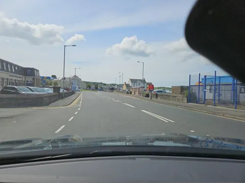

Parks, trails and playgrounds6



Restaurants and cafes41
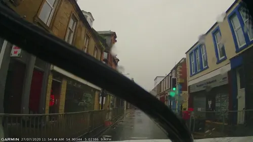
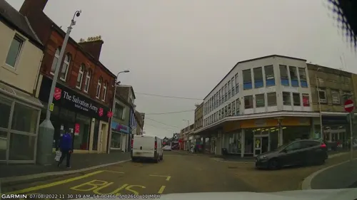
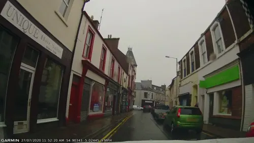
Hong Kong City
Restaurant · Chinese
46 Hanover Street, Stranraer



29 more on the map.
Where to stay16
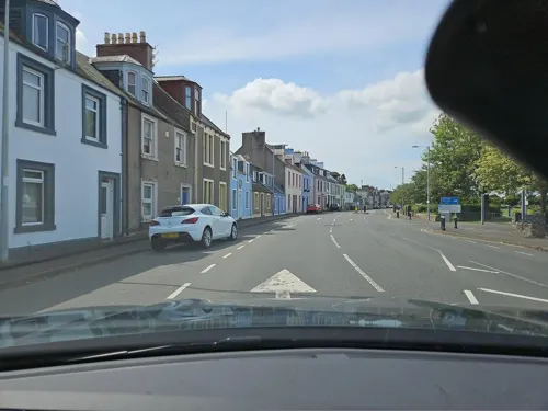
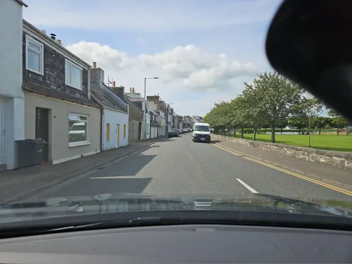


Dunhaven Guest House
Motel and hotel
21 Agnew Crescent, Stranraer
Lochview Guest House
Motel and hotel · 0.5 mi
52 Agnew Crescent, Stranraer
The Arkhouse Inn
Motel and hotel
17-19 Church Street, Stranraer
4 more on the map.
History
The Battle of Loch Ryan was fought near Stranraer on 9/10 February 1307 during the Scottish Wars of Independence. King Robert I of Scotland's invasion of his ancestral lands in Annandale and Carrick began in 1307. The Annandale and Galloway invasion force was led by his brothers Alexander de Brus and Thomas de Brus, Malcolm McQuillan, Lord of Kintyre, an Irish sub-king and Sir Reginald de Crawford. The force consisted of 1,000 men and 18 galleys. They sailed into Loch Ryan and landed near Stranraer.
The invasion force was quickly overwhelmed by local forces, led by Dungal MacDouall, who was a supporter of the Balliols, Comyns and King Edward I of England, and only two galleys escaped. All the leaders were captured. MacDouall summarily executed the Irish sub-king and Malcolm McQuillan, Lord of Kintyre. Alexander, Thomas and Reginald de Crawford were sent to Carlisle, England, where they were executed. The heads of McQuillan and two Irish chiefs were sent to King Edward I.
Read more of the history
On 12 November 1595, the Clashant of Stranrawer was named part of Ninian Adair's lands of Barony and, in 1596, was erected into a burgh of barony, the Barony of Kinhilt. This is recorded in the Register of the Great Seal of Scotland. The partial translation into English is: At Linlithgow, 12 November 1595, the King confirms and for faithful service again dedicates to Ninian Adair of Kinhilt, and the legitimate male heirs of his body, which failing his nearest legitimate male heirs whosoever bear the name and insignia of Adair[, various lands....] In addition, the King creates the village at Clauchane de Stranraer as a free burgh of the barony with a free port, called the Burgh and Port of Stranraer; and the said Ninian etc shall have the authority to appoint a bailiff, treasurer, Dean of Guild, magistrate, burgesses, officials etc; and the burgesses shall have the authority and leave to pack and unpack [meaning the selling of bulk merchandise (wholesale trade) allowed by law only by free men in a free burgh], to buy and sell [also allowed only in a free burgh] etc; [...] and the said Ninian etc shall have authority to hold the position of governor of the said burgh, [...] to hold weekly markets on Saturday, with free (untaxed) market days twice a year, viz Saint Barnabas' day the 11th of June, and at Peter's Imprisonment called Lammas on the 1st of August, [...] and the said Ninian etc shall have authority over all the port customs of the said burgh raised by sea or land among the land tenents of the said burgh and support of the said port; and the said Ninian etc shall have authority to receive resignations of lands of the said burgh etc [i.e. recover his lands from towns people who choose to sell them or give them up]; from those persons whatsoever who chose to dispose of them; the townspeople may meet three times a week on Monday, Wednesday and Friday.
By 1600, Stranraer had become the market town for western Wigtownshire. Around this time, Stranraer was reached by a military road built from Dumfries to allow easier access to Portpatrick for transportation of people to Ireland for the Plantation of Ulster. Stranraer became a royal burgh in 1617.
The first harbour in Stranraer was built in the mid-18th century, with further port development in the 1820s. The arrival of the railway from Dumfries in 1861 (closed 1965), giving the shortest journey to/from London, finally established Stranraer as the area's main port. In 1862, the line was extended to serve the harbour directly, and a link to Portpatrick was also opened. In 1877, a rail connection north to Girvan and Glasgow was also established. Stranraer remained the main Scottish port for the Irish ferries for the next 150 years or so. On 31 January 1953, 133 people died when the Princess Victoria sank near Belfast Lough after its car deck was swamped by heavy seas.
Stranraer and its surrounding area saw a significant amount of activity during the Second World War, as it became a focus for anti-U-boat work. Flying boats operated from the area in an attempt to secure the waters of the North Channel and the south western coast of Scotland. Almost all of Britain's shipping imports passed through those two sea areas en route to the Clyde or the Mersey. Indeed, the flying boat Supermarine Stranraer is named after the town. Winston Churchill himself departed from Stranraer in a Boeing Flying Boat on the night of 25 June 1942, when making his second visit of the war to the United States. Churchill also spent time at nearby Knockinaam Lodge during the war years.
Stranraer has an active local history trust, which publishes work on the area's history, commissioned from local authors.
From the History section of Stranraer on Wikipedia, under CC BY-SA 4.0.
More about Stranraer
Economy
The main industries in the area are the ferry port, with associated industries, tourism and, more traditionally, farming.
Stranraer railway station is the southern terminus of a branch of the Glasgow South Western Line. ScotRail provides five services per day to Ayr, with one train extending to Kilmarnock and another onto Glasgow Central.
Connections to the West Coast Main Line can be made at Glasgow Central or indirectly via Carlisle; Avanti West Coast inter-city services reach London Euston and other destinations such as Manchester Piccadilly, Crewe and Birmingham New Street.
The A77 runs north towards Ayr, Prestwick and Glasgow. The A75 runs east from Stranraer to Gretna, with links to the M6 going to Carlisle. The A75 is part of European route E18, but, like all European routes, it is not signposted as such in the United Kingdom.
Local bus transport in and around the town is provided predominantly by Stagecoach West Scotland, along with local companies including Wigtownshire Community Transport and McCulloch's Coaches. Scottish Citylink operates a service to Glasgow.
Arts and culture
The Castle of St John is a medieval tower house, built around 1500 by the Adairs of Kilhilt. It has been used as a home, a court, a prison, and a military garrison, the last during the Killing Time in the 1680s. The Old Town Hall, built in 1776, now houses the Stranraer Museum with its displays of Victorian Wigtownshire and the town's polar explorers, Sir John Ross and his nephew James Clark Ross. The town is also home to the North West Castle, built in 1820 and the first hotel in the world with its own indoor curling ice rink.
Castle Kennedy Gardens – a 75-acre (30 ha) garden between two lochs, noted for its rhododendrons, azaleas and embothriums in the grounds of Lochinch Castle, the seat of the Earls of Stair.
Logan Botanic Garden, near Port Logan village – one of the four sites of the Royal Botanic Garden Edinburgh.
Mull of Galloway – the most southerly point of Scotland, with a lighthouse, visitor centre and RSPB bird reserve.
The Robert the Bruce Trail begins at Loch Ryan, near Stranraer.
Southern Upland Way – a 212-mile (341 km) coast-to-coast path between Portpatrick and Cockburnspath.
From the Wikipedia article Stranraer, under CC BY-SA 4.0.
Notable people from Stranraer
 John RossScottish naval officer and polar explorer (1777–1856)Photo: anonymous, Public domain
 Callum BoothScottish footballerPhoto: Andrew Hendo, Public domain
 Bobby LammieScottish curlerPhoto: Words in the Wind, CC BY-SA 4.0
 Kevin KyleScottish footballer (born 1981)Photo: Alasdair Middleton, CC BY 2.0
 Ryan HardieScottish association football player (born 1997)Photo: Timmy96, CC0
 Hammy McMillan Jr.Scottish curlerPhoto: Words in the Wind, CC BY-SA 4.0
 William Kingwriter of a number of successful science-fiction and fantasy booksPhoto: FusionKrogan, CC BY-SA 4.0
 Jane TaylourScottish suffragist and women's movement campaignerPhoto: unknown 1870s photographer, Public domain
 James CairdBritish politician (1816–1892)Photo: Vincent Brooks, chromolithograph, Public domain
- Colin CalderwoodScottish association football manager (born 1965)
- Leander Starr JamesonPrime Minister of the Cape Colony (1853-1917)
- Richard ArklessScottish politician (born 1975)
Born in Stranraer, according to Wikidata (CC0). Each name links to its Wikipedia article.
Churches and places of worship10
Shopping14
Gas and EV charging3
Schools, colleges and libraries8
Healthcare2
Map of Stranraer
108 places. The map loads OpenStreetMap tiles when you open it.
Getting there and nearby towns
George Best Belfast City Airport (BHD) is the nearest airport with scheduled flights listed in OpenStreetMap, 39 miles away.
- Bangor 31 mi southwest, about 49 min by car
- Larne 32 mi west, about 51 min by car
- Carrickfergus 34 mi west, about 54 min by car
- Newtownards 34 mi southwest, about 55 min by car
- Holywood 37 mi southwest, about 59 min by car
- Dundonald 37 mi southwest, about 1 h by car
- Newtownabbey 39 mi southwest, about 1 h by car
- Belfast 42 mi southwest, about 1 h by car
- Troon 47 mi north, about 1 h 15 min by car
- Lisburn 48 mi southwest, about 1 h 15 min by car
Drive times are estimates from straight-line distance, not routes.
Towns near Stranraer


Keep exploring
Local news
Headlines from INDB.
Reviews, tips and questions
Loading what members have shared...
Sources and licences
- GeoNames (CC BY 4.0): population, coordinates, regions and time zone
- Mapillary (see each image): photos
- OpenStreetMap contributors (ODbL 1.0): places, airports, map data
- Wikidata (CC0 1.0): elevation, founding date, time zone, website, landmarks and historic places
- Wikimedia Commons (see each image): photos
- Wikipedia (CC BY-SA 4.0): overview and history text
Photo credits
- 08845 Stranraer Gospel Hall, Stranraer 007, WeeHolly, CC BY-SA 4.0
- 08845 Stranraer Gospel Hall, Stranraer 006, WeeHolly, CC BY-SA 4.0
- 08845 Stranraer Gospel Hall, Stranraer 004, WeeHolly, CC BY-SA 4.0
- 08845 Stranraer Gospel Hall, Stranraer 002, WeeHolly, CC BY-SA 4.0
- 08845 Stranraer Gospel Hall, Stranraer 001, WeeHolly, CC BY-SA 4.0
- 08845 Stranraer Gospel Hall, Stranraer 005, WeeHolly, CC BY-SA 4.0
- 08845 Stranraer Gospel Hall, Stranraer 003a, WeeHolly, CC BY-SA 4.0
- Stranraer Castle, jaqian from Dublin, Ireland, CC BY 2.0
- Stair Park, entrance, Billy McCrorie, CC BY-SA 2.0
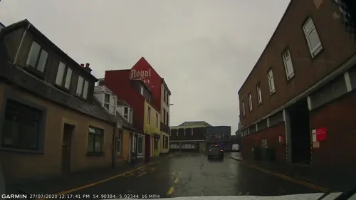
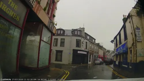
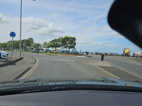
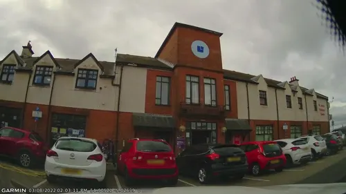
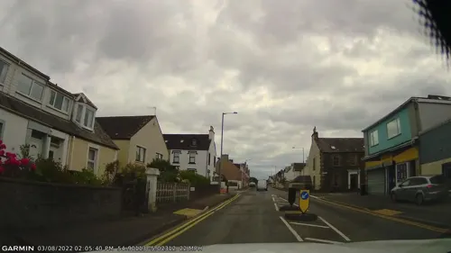
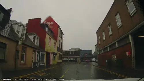
- Street-level photo, gmc, CC BY-SA 4.0
- Street-level photo, gmc, CC BY-SA 4.0
- Street-level photo, gmc, CC BY-SA 4.0
- Street-level photo, gmc, CC BY-SA 4.0
- Street-level photo, gmc, CC BY-SA 4.0
- Street-level photo, gmc, CC BY-SA 4.0
- Street-level photo, gmc, CC BY-SA 4.0
- Street-level photo, gmc, CC BY-SA 4.0
- Street-level photo, gmc, CC BY-SA 4.0
- Street-level photo, gmc, CC BY-SA 4.0
- Street-level photo, gmc, CC BY-SA 4.0
- Street-level photo, gmc, CC BY-SA 4.0
- Street-level photo, gmc, CC BY-SA 4.0
- Street-level photo, gmc, CC BY-SA 4.0
- Street-level photo, gmc, CC BY-SA 4.0
- Street-level photo, gmc, CC BY-SA 4.0
- Street-level photo, toho, CC BY-SA 4.0
- Street-level photo, toho, CC BY-SA 4.0
- Street-level photo, toho, CC BY-SA 4.0
- Street-level photo, toho, CC BY-SA 4.0
- Street-level photo, toho, CC BY-SA 4.0
- Street-level photo, gmc, CC BY-SA 4.0
- Street-level photo, gmc, CC BY-SA 4.0
- Street-level photo, gmc, CC BY-SA 4.0
- Street-level photo, gmc, CC BY-SA 4.0
- Street-level photo, toho, CC BY-SA 4.0
Page built November 10, 2026. Spotted a mistake? Tell us or suggest a place.