


Sturminster Newton, United Kingdom
Sturminster Newton is a town of 3,501 people in England, United Kingdom.
Why visit Sturminster Newton
Townapedia lists 5 museums and landmarks, 4 parks and trails, 6 places to eat, 2 places to stay and 1 attraction in and around town.
Highlights include Fiddleford Manor, Sturminster Museum, Girdlers Coppice and Piddles Wood.
Weather in Sturminster Newton
Forecast from MET Norway (CC BY 4.0). Full forecast
About Sturminster Newton
Sturminster Newton is a town and civil parish situated on the River Stour in the north of Dorset, England. The town is at the centre of the Blackmore Vale, a large dairy agriculture region around which the town's economy is built, and is known as 'the heart of the Blackmore vale'.
From the Wikipedia article Sturminster Newton (this version), under CC BY-SA 4.0.
Things to do1
Museums and landmarks5



Parks, trails and playgrounds4


Restaurants and cafes6



History
Sturminster Newton was recorded in an Anglo-Saxon charter in 968 as Nywetone at Stoure, and in the Domesday Book of 1086 as Newentone. Newton refers to a new farm or estate, and Sturminster to a church (minster) on the Stour. Originally the two parts of the name referred to the settlements on the north and south of the river, but were combined to distinguish the town from Sturminster Marshall and other Newtons. The history of the town and surrounding area has been researched by the Sturminster Newton Heritage Trust, which runs the Sturminster Newton Museum in the Old Market Cross House in the centre of town. The Museum is open to visitors on some days every week.
Hidden on the hill above the bridge over the river are the ruins of Sturminster Newton Castle, a manor house rather than a defensive building. The 14th-century building stands on a crescent shaped mound which could be the site of an Iron Age hillfort. The town and castle were part of Sturminster Newton hundred.
Sturminster Newton is situated at a historic fording point on the River Stour. The ford was replaced in the 16th century with a six-arch stone bridge, and a quarter-kilometre embankment crossing the flood plain. The bridge was widened from 12 to 18 feet (3.7 to 5.5 metres) in 1820. A 19th-century plaque affixed to the bridge states that anyone damaging the bridge would be transported to Australia as a felon.
Read more of the history
The Sturminster Newton Heritage Trust runs the Sturminster Newton Mill on the south bank of the river and which has existed since at least 1016. The mill was restored in 1980 and is now a working museum watermill which is open to visitors on some days every week between the end of March and the end of September. The mill resumed commercial production of flour in 2020.
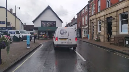
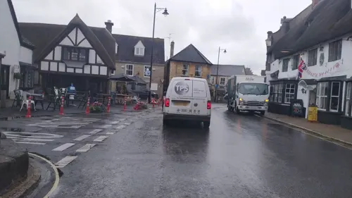
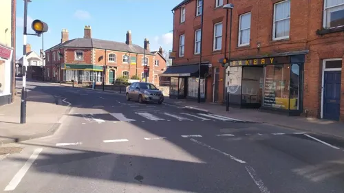
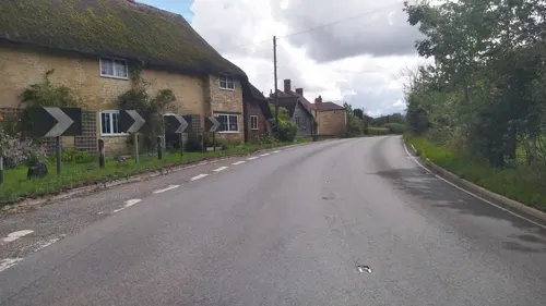
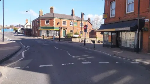
The town centre is built in a mixture of styles, including 17th- and 18th-century thatched cottages, Georgian stone buildings, and 19th-century brick buildings. Set back from the main road is the market square and parish church of St Mary, which was rebuilt in 1486 by the abbots of Glastonbury Abbey. The church was heavily modified in the 19th century, but the carved wagon roof remains.
Sturminster Newton railway station was served by the Somerset and Dorset Railway, which ran through the town from 1863 until it was dismantled in 1966 as part of the Beeching Axe. The railway goods yard gave milk trains access to the private sidings of the local creamery. Started in 1913 by local farmers to produce cheddar cheese and pasteurised milk, it was taken over by the Milk Marketing Board in 1937. Milk trains ceased in 1966 on closure of the line, with the creamery remaining in operation until 2000 under successor Dairy Crest. The station and goods yard were demolished in the mid-1970s.
The town is set in the vale on which Thomas Hardy based his fictional Vale of the little dairies (in his novel Tess of the d'Urbervilles) and Sturminster had the largest cattle market in Europe, which stood close to the town centre until it was closed and demolished in 1997.
From the History section of Sturminster Newton on Wikipedia, under CC BY-SA 4.0.
More about Sturminster Newton
Geography
Sturminster Newton civil parish covers about 4,550 acres (1,840 hectares) at an elevation of 45 to 119 metres (148 to 390 feet), with the highest ground being in the southeast. The parish includes the small settlements of Bagber, Broad Oak and Puxey.
The town is situated on a meander of the River Stour. The larger part of the town (Sturminster) lies on a low limestone ridge to the north side of the river, and includes most shops and services, whilst to the south is the smaller Newton, separated by a wide flood plain.
The geology of the parish comprises Oxford clay in the northwest, Corallian limestone and sands in the northeast, centre and southwest, and Kimmeridge clay in the southeast.
To the southeast of the town are Girdlers Coppice and Piddles Wood, areas of mature woodland that are designated as sites of special scientific interest.
From the Wikipedia article Sturminster Newton, under CC BY-SA 4.0.
Notable people from Sturminster Newton
- Kingsley Charles DunhamBritish geologist (1910–2001)
- Ernest Lemonmechanical engineer
Born in Sturminster Newton, according to Wikidata (CC0). Each name links to its Wikipedia article.
Where to stay2
Churches and places of worship7
Shopping2
Schools, colleges and libraries5
Healthcare1
Map of Sturminster Newton
33 places. The map loads OpenStreetMap tiles when you open it.
Getting there and nearby towns
Royal Naval Air Station Yeovilton (YEO) is the nearest airport with scheduled flights listed in OpenStreetMap, 16 miles away.
- Child Okeford 3 mi east, about 5 min by car
- Shillingstone 3 mi southeast, about 5 min by car
- Stalbridge 4 mi northwest, about 6 min by car
- Templecombe 7 mi northwest, about 11 min by car
- Blandford Forum 8 mi southeast, about 12 min by car
- Charlton Marshall 9 mi southeast, about 15 min by car
- Yetminster 12 mi west, about 20 min by car
- Puddletown 12 mi south, about 20 min by car
- Bere Regis 13 mi south, about 20 min by car
- Yeovil 14 mi west, about 23 min by car
Drive times are estimates from straight-line distance, not routes.
Towns near Sturminster Newton


Keep exploring
Local news
Headlines from INDB.
Reviews, tips and questions
Loading what members have shared...
Sources and licences
- GeoNames (CC BY 4.0): population, coordinates, regions and time zone
- Mapillary (see each image): photos
- OpenStreetMap contributors (ODbL 1.0): places, airports, map data
- Wikidata (CC0 1.0): elevation, founding date, time zone, website, landmarks and historic places
- Wikimedia Commons (see each image): photos
- Wikipedia (CC BY-SA 4.0): overview and history text
Photo credits
- Fiddlefordmanor, Marilyn Peddle from England, CC BY 2.0
- Belchalwell CH, Bashereyre ( talk ), CC BY-SA 3.0
- Fiddleford Mill House, Wulfrunian1, CC BY-SA 3.0
- Street-level photo, noid, CC BY-SA 4.0
- Street-level photo, noid, CC BY-SA 4.0
- Street-level photo, noid, CC BY-SA 4.0
- Street-level photo, noid, CC BY-SA 4.0
- Street-level photo, noid, CC BY-SA 4.0
- Street-level photo, noid, CC BY-SA 4.0
- Street-level photo, noid, CC BY-SA 4.0
- Street-level photo, noid, CC BY-SA 4.0
- Street-level photo, noid, CC BY-SA 4.0
- Street-level photo, noid, CC BY-SA 4.0
Page built November 10, 2026. Spotted a mistake? Tell us or suggest a place.