


Blandford Forum, United Kingdom
Blandford Forum is a town of 11,694 people in England, United Kingdom.
Why visit Blandford Forum
Townapedia lists 6 museums and landmarks, 2 parks and trails, 38 places to eat, 1 place to stay and 2 attractions in and around town.
Highlights include The Coade Hall, The Coade Theatre, Blandford Town Museum and Royal Signals Museum.
Weather in Blandford Forum
Forecast from MET Norway (CC BY 4.0). Full forecast
About Blandford Forum
Blandford Forum is a market town in Dorset, England, on the River Stour, 13 miles (21 km) north-west of Poole. It had a population of 10,607 at the 2021 census.
From the Wikipedia article Blandford Forum (this version), under CC BY-SA 4.0.
Travel tips from other travellers: Blandford Forum on Wikivoyage (CC BY-SA 4.0).
Things to do2

The Coade Hall
Cinema and theater · 1.0 mi
Theatre and concert hall at Bryanston School in Dorset, England
Museums and landmarks6
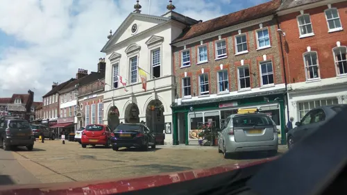
Blandford Town Museum
Museum · 0.4 mi
Beres Yard, Blandford Forum
Tu-Sa 10:00-16:00; We off; Mo off; Su off

Royal Signals Museum
Museum · 1.7 mi
Regimental museum in Tarrant Monkton, Dorset, United Kingdom


Parks, trails and playgrounds2

Restaurants and cafes38
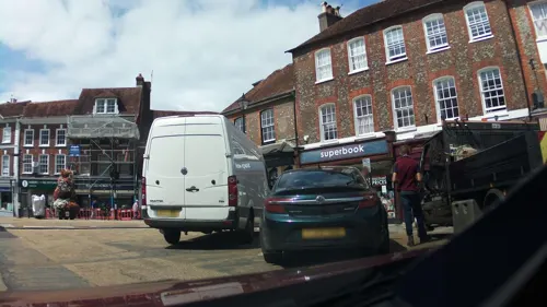

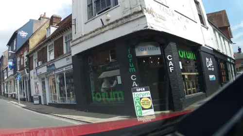
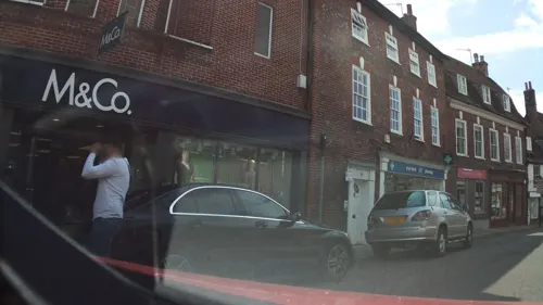
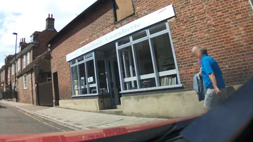
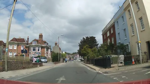
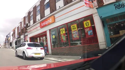
Rebekah's Kitchen
Cafe
24 Salisbury Street, Blandford Forum
Mo-Fr 10:00-16:00; Sa,Su 10:00-15:00

Costa
Cafe · Coffee Shop
7 Salisbury Street, Blandford Forum
Mo-Fr 07:30-17:30; Sa 08:00-17:30; Su 09:00-17:00



Simla
Restaurant · 0.4 mi
12 West Street, Blandford Forum
Su-Th 12:00-14:30,18:00-23:30, Fr,Sa 12:00-14:30,18:00-24:00
26 more on the map.
History
Blandford has been a fording point on the River Stour since Anglo-Saxon times. The name Blandford derives from the Old English blǣge, and probably means ford where gudgeon or blay are found. The name Blaneford or Bleneford is recorded in the Domesday Book, referring not to Blandford Forum itself but to the adjacent villages of Bryanston and Blandford St Mary on the opposite side of the ford, and Langton Long Blandford further downstream.
By the 13th century, the settlement on the north bank of the river had become a market town with a livestock market serving the nearby Blackmore Vale with its many dairy farms. At the start of the 14th century, it returned two members of parliament and was also known as Cheping Blandford, where Cheping or Chipping refers to a market. The Latin translation Forum was first recorded in 1540.
In Survey of Dorsetshire, written by Thomas Gerard of Trent in the early 1630s, Blandford was described as "a faire Markett Towne, pleasantlie seated upon the River ... well inhabitted and of good Traffique". In the 17th-century English Civil War Blandford was a Royalist centre; most inhabitants supported the king.
Read more of the history
In the 18th century Blandford was one of several lace-making centres in the county; Daniel Defoe stated that lace made in the town was "the finest bonelace in England... I think I never saw better in Flanders, France or Italy". In the 17th and 18th centuries Blandford was also a malting and brewing centre of some significance.
Almost all of Blandford's buildings were destroyed on 4 June 1731 by the "great fire", which was the last of several serious fires that occurred in the 16th, 17th and 18th centuries. The fire began in a tallow chandler's workshop on a site that is now The King's Arms public house. Within a few hours, almost 90% of the town's fabric had gone; all fire-fighting equipment had been lost to the fire and the church's lead roof had melted. Even properties west of the river in Blandford St Mary and Bryanston were burned, though notable buildings that survived in the town include the Ryves Almshouses and Dale House in Salisbury Street, Old House in The Close, and much of East Street, including Stour House. An Act of Parliament was introduced that stated that rebuilding work must be in brick and tile and should begin within four years. With assistance from the rest of the country—including £1,000 given by King George II—the town was rebuilt over the next ten years to the designs of local architects John and William Bastard. Bottlenecks were removed and streets realigned in the new town plan, which also provided a wider market place. As well as residential and commercial property, new buildings included a new town hall, school and church. The redesigned town centre has survived to the present day virtually intact.
After the post-fire reconstruction Blandford remained a thriving market town. Wool spinning and button making were also significant, and the brewing and hostelry trades expanded. The turnpike road between Salisbury and Dorchester was made in 1756 and passed through the town, and the arrival of the coaching era increased the town's prosperity, though the built fabric of the town changed little until the first half of the 19th century, when houses for wealthier inhabitants were built to the north alongside the roads to Salisbury and Shaftesbury. By the time of the 1841 census the town had 3,339 inhabitants. Later in the 19th century, perhaps following the installation of piped water, more densely packed buildings were built to the northeast, replacing gardens and barracks for the poor (that had been erected following the fire) between the roads to Salisbury and Wimborne Minster. Rail transport arrived in Blandford in the 1860s, though this did not impact greatly on the town's economy.
Blandford's weekly animal market disappeared in the 20th century, perhaps a casualty of motorised transport that enabled larger markets to be held in fewer centres (the market at nearby Sturminster Newton increased significantly). By the middle of the 20th century, Blandford Fair, a seasonal sheep fair held in summer and autumn, had also disappeared, due to changes in animal husbandry and a reduction in sheep numbers in the county.
From the History section of Blandford Forum on Wikipedia, under CC BY-SA 4.0.
More about Blandford Forum
Geography
Blandford is situated between Cranborne Chase and the Dorset Downs, to the south-east of the Blackmore Vale, 13 mi (21 km) northwest of Poole and 22 mi (35 km) south-west of Salisbury. It is sited in the valley of the River Stour, mostly on rising ground northeast of the river, but with some development south of the river at Blandford St Mary. The underlying geology is Cretaceous chalk bedrock that in places is overlain by Quaternary drift: alluvium in the river's flood plain, head deposits around the town's south-west, south and south-east borders, and clay with flints at the highest part of the town in the north. The town is almost surrounded by land that has been designated as having landscape value of national significance: the Dorset National Landscape (an Area of Outstanding Natural Beauty, or AONB) to the west and the Cranborne Chase and West Wiltshire Downs AONB to the north and east.
Economy
Important sectors in Blandford's economy include public administration, education and health (41% of non-agricultural employment), distribution, accommodation and food (25% of non-agricultural employment) and production and construction (19% of non-agricultural employment). In 2012 there were 3,900 people working in the town, 55% of whom worked full-time and 45% part-time. Between July 1997 and July 2013 the unemployment rate for residents of working age varied between 0.5% and 2.5%. There are five industrial estates and business parks in and around the town: Blandford Heights Industrial Estate (9.47 hectares or 23.4 acres), Holland Way Industrial Estate (7.32 hectares or 18.1 acres), Sunrise Business Park (5.6 hectares or 14 acres), Uplands Industrial Park (1.34 hectares or 3.3 acres) and Clump Farm Industrial Estate (1.30 hectares or 3.2 acres). These are sited mostly toward the bypass road to the north-east of the town. In 2009 there were 370 firms providing employment in the town.
Education
Blandford Forum has two primary schools: Archbishop Wake and Milldown. A new Archbishop Wake school, built on the old St Leonards Middle School site at the bottom of Black Lane, opened in November 2008. The other feeder schools for The Blandford School are Blandford St Mary, Downlands, Dunbury and Durweston, Pimperne, and Spetisbury Primary Schools. Pupils move at the age of 11 to The Blandford School, which is a secondary school lying in the west of Blandford; the school also has a sixth form.
A number of private schools are also located near Blandford, such as Bryanston School, Canford School, Clayesmore School, Hanford School, Knighton House School and Milton Abbey School.
From the Wikipedia article Blandford Forum, under CC BY-SA 4.0.
Notable people from Blandford Forum
 Thomas PittEnglish politician; (1653-1726)Photo: Charles Lawson, Public domain
 William Edwy VineBritish theologian (1873–1949)Photo: CrossReach, CC BY-SA 4.0
 Alfred Downing FrippBritish surgeon (1865–1930)Photo: Arbuthnot., CC BY 4.0
 Samuel LisleBritish bishopPhoto: Unidentified painter, Public domain
 Henry Joy Fynes-ClintonEnglish Anglican-Papalist priestPhoto: Unknown author Unknown author, Public domain
- Frederick Abberlineformer Chief Inspector for the London Metropolitan Police (1843-1929)
- Mary Gordon-Watsonequestrian
- William WakeArchbishop of Canterbury (1657-1737)
- Thomas CreechEnglish translator
- Alfred StevensBritish sculptor and painter (1817-1875)
- John Angell JamesBritish abolitionist
- Percy HardyEnglish cricketer (1880-1916)
Born in Blandford Forum, according to Wikidata (CC0). Each name links to its Wikipedia article.
Where to stay1
Churches and places of worship9
Blandford United Reformed Church
Church · United
Salisbury Street, Blandford Forum
Blandford Evangelical Church
Church · Evangelical
Alexandra Street, Blandford Forum
Shopping17
Gas and EV charging1
Schools, colleges and libraries6
Archbishop Wake Church of England Primary School
School · Anglican · 0.4 mi
Black Lane, Blandford Forum
Blandford St Mary Church of England Primary School
School · Anglican · 0.8 mi
Birch Avenue, Blandford Forum
Healthcare3
Map of Blandford Forum
85 places. The map loads OpenStreetMap tiles when you open it.
Getting there and nearby towns
Bournemouth Airport (BOH) is the nearest airport with scheduled flights listed in OpenStreetMap, 15 miles away.
- Wimborne Minster 9 mi southeast, about 15 min by car
- Broadstone 10 mi southeast, about 16 min by car
- Poole 13 mi southeast, about 20 min by car
- Verwood 13 mi east, about 21 min by car
- Dorchester 15 mi southwest, about 25 min by car
- Bournemouth 16 mi southeast, about 25 min by car
- Ringwood 16 mi east, about 26 min by car
- Christchurch 19 mi southeast, about 30 min by car
- Swanage 20 mi southeast, about 32 min by car
- New Milton 23 mi east, about 37 min by car
Drive times are estimates from straight-line distance, not routes.
Towns near Blandford Forum


Keep exploring
Local news
Headlines from INDB.
Reviews, tips and questions
Loading what members have shared...
Sources and licences
- GeoNames (CC BY 4.0): population, coordinates, regions and time zone
- Mapillary (see each image): photos
- OpenStreetMap contributors (ODbL 1.0): places, airports, map data
- Wikidata (CC0 1.0): elevation, founding date, time zone, website, landmarks and historic places
- Wikimedia Commons (see each image): photos
- Wikipedia (CC BY-SA 4.0): overview and history text
Photo credits
- Market Place, Blandford Forum, 2015 (a), PaleCloudedWhite, CC BY-SA 4.0
- River Stour, Blandford Forum - old Somerset & Dorset railway viaduct (14070646129), Andrew Bone from Weymouth, England, CC BY 2.0
- Typex-blandford-processed, Unknown author, Public domain
- Coade Hall Theatre, NiceRice.B, CC BY-SA 4.0
- 1108655 II 3, SALISBURY STREET Blandford Forum 20250829 0001, Tilman2007, CC BY-SA 4.0
- Street-level photo, southglos, CC BY-SA 4.0
- Street-level photo, southglos, CC BY-SA 4.0
- Street-level photo, southglos, CC BY-SA 4.0
- Street-level photo, noid, CC BY-SA 4.0
- Street-level photo, southglos, CC BY-SA 4.0
- Street-level photo, southglos, CC BY-SA 4.0
- Street-level photo, southglos, CC BY-SA 4.0
- Street-level photo, noid, CC BY-SA 4.0
- Street-level photo, southglos, CC BY-SA 4.0
- Street-level photo, southglos, CC BY-SA 4.0
- Street-level photo, southglos, CC BY-SA 4.0
- Street-level photo, southglos, CC BY-SA 4.0
- Street-level photo, southglos, CC BY-SA 4.0
- Street-level photo, southglos, CC BY-SA 4.0
- Street-level photo, southglos, CC BY-SA 4.0
- Street-level photo, southglos, CC BY-SA 4.0
- Street-level photo, southglos, CC BY-SA 4.0
- Street-level photo, southglos, CC BY-SA 4.0
- Street-level photo, southglos, CC BY-SA 4.0
- Street-level photo, southglos, CC BY-SA 4.0
- Street-level photo, southglos, CC BY-SA 4.0
Page built November 10, 2026. Spotted a mistake? Tell us or suggest a place.