


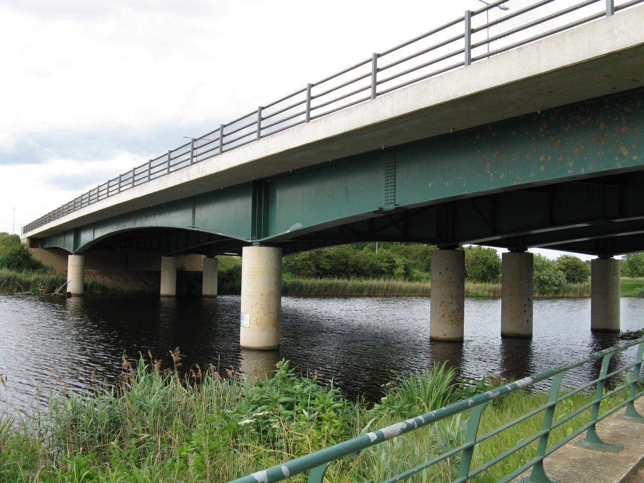


Thornaby-on-Tees, United Kingdom
Thornaby-on-Tees is a town of 22,356 people in England, United Kingdom.
Why visit Thornaby-on-Tees
Townapedia lists 13 museums and landmarks, 26 parks and trails, 43 places to eat, 1 place to stay and 16 attractions in and around town.
Highlights include ARC Theatre & Arts Centre, Georgian Theatre, Preston Park Museum and Dorman Museum.
Weather in Thornaby-on-Tees
Forecast from MET Norway (CC BY 4.0). Full forecast
About Thornaby-on-Tees
Thornaby-on-Tees, commonly referred to as Thornaby, is a town and civil parish in North Yorkshire, England, 41 miles (66 km) north of York and 3.5 miles (5.6 km) south-east of Middlesbrough. On the south bank of the River Tees, Thornaby falls within the Borough of Stockton-on-Tees and the Tees Valley area. The parish had a population of 24,741 at the 2011 census.
From the Wikipedia article Thornaby-on-Tees (this version), under CC BY-SA 4.0.
Photos of Thornaby-on-Tees


Things to do16

ARC Theatre & Arts Centre
Cinema and theater · 2.2 mi
Arts centre and theatre in Stockton-on-Tees, England

Georgian Theatre
Cinema and theater · 2.2 mi
Theatre in Stockton-on-Tees, England

Infinity Bridge
Bridge · 2.2 mi
Footbridge in Stockton-on-Tees, England


Surtees Rail Bridge
Bridge · 1.5 mi
Rail-bridge over the River Tees, Northern England



Globe Theatre
Cinema and theater · 2.4 mi
Theatre and cinema in Stockton-on-Tees, England
Middlesbrough Theatre
Cinema and theater · 2.8 mi
Theatre in Middlesbrough, England
4 more on the map.
Museums and landmarks13


Dorman Museum
Museum · 3.2 mi
Museum in Middlesbrough, England, United Kingdom

The Cenotaph, Middlesbrough
Monument and historic site · 3.2 mi
Grade II listed war memorial in Middlesbrough, United Kingdom


Stainsby
Monument and historic site · 0.7 mi
Abandoned village in North Yorkshire, England, UK
Stockton-on-Tees War Memorial
Monument and historic site · 2.3 mi
War memorial in Stockton-on-Tees, County Durham, England, UK
1 more on the map.
Parks, trails and playgrounds26

Albert Park
Park · 3.4 mi
Park in Middlesbrough, North Yorkshire, England, UK

Maze Park Nature Reserve
Park · 2.4 mi
Park in Middlesbrough, United Kingdom

Portrack Incinerator
Park · 2.9 mi
Former waste and power plant in England



Bassleton Wood and The Holmes
Park · 0.9 mi
Local nature reserve in England

Ingleby Barwick Golf Academy
Golf course · 1.2 mi
9 hole Par 33
Lullingstone Crescent, Stockton-on-Tees
Preston Park, Stockton-on-Tees
Park · 1.5 mi
Public park in north eastern England
Quarry Wood
Park · 1.6 mi
Nature reserve in Preston-on-Tees, County Durham, England, UK
Teesdale Business Park
Park · 1.9 mi
Business park in Thornaby-on-Tees, England, UK
14 more on the map.
Restaurants and cafes43

Ling Yan
Restaurant · Chinese · 1.5 mi
118 Trimdon Avenue, Middlesbrough
Mo,We,Th,Fr,Sa 16:30-22:30; Su 17:00-22:30


The Grenadier
Bar and pub · 1.5 mi
106 Trimdon Avenue, Middlesbrough
Mo,Tu 15:00-23:00; We,Th 12:00-23:00; Fr-Su 12:00-00:00
Hickory's Smokehouse
Bar and pub · 0.5 mi
Fleck Way, Stockton on Tees
Mo-Fr 12:00-23:00; Sa-Su 10:00-23:00

31 more on the map.
History
There are other signs of Thornaby being a much older settlement. Traces of prehistoric man have been found, the earliest being a stone axe, 8 inches long, dating back to the Mesolithic Period (about 3000 BC). In 1926, a dugout canoe said to date from about 1600 – 1400 BC was found in the mud under 8 feet (2.4 metres) of water opposite Thornaby High Wood. An arrowhead of the Neolithic Period (about 3000 BC) was found in a garden on Thornaby Village Green.
The name Thornaby came into existence about AD 800 when the land was given by Halfdene (Halfdan Ragnarsson), King of the Danes, to Thormod, one of his noblemen, hence "Thormods-by" – Thormod's farmstead. Although the -by suffix originally meant a farmstead, many of these grew into villages, taking the -by suffix with them in their names as with other villages in the area, such as Danby, Faceby, Ingleby, Maltby and Ormesby.
During the Battle of Hastings (1066), one of William the Conqueror's noblemen, Robert I de Brus, marched north with a garrison of men and occupied the area of Cleveland. William gave him those lands to control including Thornaby and Middlesbrough.
Read more of the history
King Sweyn II of Denmark, on 9 September 1069, defeated the Normans at York by killing the entire garrison of 3,000 men. William swore an oath to take revenge on Sweyn by destroying every house and dwelling in the lands under Sweyn's rule, leaving all the land in the north east of Yorkshire barren and bare.
In the Domesday Book Thornaby is mentioned five times, Thornaby's first mention in the Domesday Book states: "Robert Malet has these lands and they are waste." It appears that they remained undeveloped until the early 19th century as "Thurnaby waaste" is mentioned in a poem by Tennyson called "The Northern Farmer."
Over the centuries there have been a number of different spellings of the name Thornaby including Turmozbi, Tormozbi, Tormozbia and Thurmozbi. The form Thornaby first appears in 1665 and refers to old Thornaby village, south western area of the present town which is near the River Tees as it flows north east.
It is said that Robert de Thormodbi, wounded in the Crusades at Acre, swore to raise a shrine to the Virgin Mary if he survived his wounds. He did, and as part of his wish a shrine niche to the Virgin Mary, lit by five sanctuary lamps, was placed in St Peter's Church. The most frequently recognised 5 Lamps in Thornaby were those erected at the top of George Street in what is now classed as Old Thornaby. These Lamps had the distinction of being a Bus Stop on the '0' service running between Stockton and Middlesbrough.
In 1825, old Thornaby was centred around St Peter's Church and the old village green. Thornaby Carrs (marshes) had been a site of intermittent horse racing before moving to the now former Stockton Racecourse after the River Tees was straightened in 1810, a short distance downstream. From 1825, industry started to be built south of Stockton's existing port industry as the Stockton and Darlington Railway had been established with old Stockton railway station on the other side of the bank. The first site was William Smith's pottery and the area quickly grew with shipbuilding and engineering companies established on the marshes. From 1840 until June 1987 heavy engineering firm Head Wrightson was a major employer in Thornaby.
The area developing on the south bank of the Tees opposite Stockton was initially known as South Stockton. As Stockton's port industry moved to Middlesbrough, shipbuilding was replaced by iron works. A new railway line opened up the area south of the river for further development, with a South Stockton railway station built in 1882.
The new settlement grew as a workforce for new industry, spreading south down and between Thornaby Road, the new Westbury Street, and Mandale Road (once known as Acklam Road). The built-up area of South Stockton grew to merge with the old village of Thornaby; on 6 October 1892 South Stockton and Thornaby formally merged to form a municipal borough which was named Thornaby-on-Tees. South Stockton station was renamed to Thornaby. Thornaby Town Hall was built for the old South Stockton Local Board, and was completed in 1892 a few months before the board was replaced by the new borough council.
The earliest known flying in Thornaby took place in 1912 when Matthew Young of the Vale Farm was paid 100 Gold Sovereigns for the use of a field for an airshow. Taking place on a Saturday afternoon in June or July, one of the main events was flying by Gustav Hamel, an early flying pioneer. The next known use was by the Royal Flying Corps who used the same fields between 1914 and 1918 as a staging post between Catterick and Marske aerodromes.
In about 1925 negotiations began on the opening of a full-time aerodrome and in the late 1920s the Air Ministry constructed an airfield to the south of the town and the station which was the second permanent aerodrome to be built in Yorkshire (the first being Catterick) was opened on 29 September 1929. During the Second World War, Thornaby came under the control of 18 group, Coastal Command, before this however it had come under Flying Training, Fighter and Bomber Commands, and post-war under Reserve and Fighter Commands, at this time (post-war) it was also used by the Royal Air Force Regiment. During the war a variety of tasks were carried out from RAF Thornaby, such as, attacks on targets in Europe, anti-submarine patrols, operational training, strikes against enemy shipping, leaflet dropping and air sea rescue operations.
From the History section of Thornaby-on-Tees on Wikipedia, under CC BY-SA 4.0.
More about Thornaby-on-Tees
Education
Thornaby is served by three secondary schools; St Patrick's Catholic College, Thornaby Academy and Westlands Academy.
Thornaby is home to Stockton Riverside College, a major provider of further education in the Tees Valley with around 10,000 full & part-time students. It is labelled Stockton due to it being in or near the former Stockton South settlement, which lied on the southern banks of the river Tees (Yorkshire) and merged into Thornaby on Tees.
Adjacent to the college is Durham University's Queen's Campus. This was founded in 1992 as a joint venture between Durham and Teesside universities, becoming exclusively part of Durham University in 1998. In 2019, the university moved the Queen's Campus colleges and departments to Durham city, and repurposed the campus as a new International Study Centre, run by Study Group.
From the Wikipedia article Thornaby-on-Tees, under CC BY-SA 4.0.
Notable people from Thornaby-on-Tees
 Pat BarkerBritish writerPhoto: summonedbyfells, CC BY 2.0
 Jonathan GroundsEnglish association football player (born 1988)Photo: Birmingham City F.C., CC0
 John CrosthwaiteEnglish race car designer and chassis engineerPhoto: Raycrosthwaite, CC BY-SA 3.0
- Richard GriffithsBritish actor
- Derek EnrightBritish politician (1935-1995)
- Dick SpoonerEnglish Test and County cricketer (1919-1997)
- Percy Mills, 1st Viscount MillsBritish politician (1890-1968)
- Paul CurranEnglish racing cyclist
- Holly HaganBritish reality television personality
- Kenny Allenfootballer (born 1948)
- David ButlerEnglish footballer (born 1945)
- Colin AtkinsonCricketer and teacher (1931-1991)
Born in Thornaby-on-Tees, according to Wikidata (CC0). Each name links to its Wikipedia article.
Where to stay1
Churches and places of worship21
Shopping12
Gas and EV charging1
Schools, colleges and libraries18
St Francis of Assisi Church of England Primary School
School · Anglican · 0.9 mi
Lowfields Avenue, Stockton-on-Tees
Christ The King Roman Catholic Primary School
School · Roman Catholic · 0.4 mi
Tedder Avenue, Stockton-on-Tees
St Therese of Lisieux Catholic Primary School, A Voluntary Catholic Academy
School · Roman Catholic · 1.4 mi
Lamb Lane, Stockton-on-Tees
Healthcare3
Map of Thornaby-on-Tees
154 places. The map loads OpenStreetMap tiles when you open it.
Getting there and nearby towns
Teesside International Airport (MME) is the nearest airport with scheduled flights listed in OpenStreetMap, 6 miles away.
- Yarm 3 mi southwest, about 5 min by car
- Middlesbrough 4 mi northeast, about 6 min by car
- Sunderland 26 mi north, about 42 min by car
- Whitby 28 mi east, about 45 min by car
- Whickham 32 mi northwest, about 52 min by car
- Newcastle upon Tyne 33 mi north, about 53 min by car
- York 41 mi south, about 1 h by car
- Wetherby 42 mi south, about 1 h 15 min by car
- Leeds 52 mi south, about 1 h 30 min by car
- Bradford 54 mi south, about 1 h 30 min by car
Drive times are estimates from straight-line distance, not routes.
Towns near Thornaby-on-Tees


Keep exploring
Local news
Headlines from INDB.
Reviews, tips and questions
Loading what members have shared...
Sources and licences
- GeoNames (CC BY 4.0): population, coordinates, regions and time zone
- Mapillary (see each image): photos
- OpenStreetMap contributors (ODbL 1.0): places, airports, map data
- Wikidata (CC0 1.0): elevation, founding date, time zone, website, landmarks and historic places
- Wikimedia Commons (see each image): photos
- Wikipedia (CC BY-SA 4.0): overview and history text
Photo credits
- ARC Theatre & Arts Centre, Stockton on Tees, Petegal-half, CC BY-SA 3.0
- Georgian Theatre, Stockton on Tees, Petegal-half, CC BY-SA 3.0
- Infinity Bridge from the Tees Barrage-1200, JohnYeadon, CC0
- Jubilee Bridge-from South bank-1-1280, JohnYeadon, CC BY 3.0
- Preston Pipe Bridge-1200, JohnYeadon, CC BY 3.0
- Princess of Wales Bridge from south bank upriver, John Yeadon, CC BY 3.0
- Surtees Bridge-from West bank-1-1200, JohnYeadon, CC BY 3.0
- Tees Bridge (Rail), John Yeadon, CC BY-SA 4.0
- Tees Barrage - downstream view-1080, JohnYeadon, CC BY 3.0
- Christmas Walk Newport Bridge (31102933304) (cropped), Paul Hudson from United Kingdom, CC BY 2.0
- Dorman museum angled view, Geni, CC BY-SA 4.0
- The Cenotaph in Middlesbrough, Anthony Winward, CC BY 3.0
- Albert Park 2011, MarcusBritish at English Wikipedia, CC BY-SA 3.0
- A19 Tees Viaduct rom Maze Park viewing hill-2-1088, JohnYeadon, CC BY 3.0
- Portrack meadows-800, JohnYeadon, CC BY 3.0
- South Lodge, Ropner Park, Stockton on Tees, Petegal-half, CC BY-SA 3.0
- St Mary's Church, Stockton-on-Tees, Simon, CC BY-SA 2.0 uk
- County Durham, STOCKTON ON TEES, Stockton Parish Church (36006280105), The National Churches Trust, CC BY 2.0
- Thornaby St Lukes 2, Simon Armstrong, CC BY-SA 3.0
- Thornaby Airmen memorial, The joy of all things, CC BY-SA 4.0
- Preston Park Museum (33095733710), Alex Liivet from Chester, United Kingdom, CC0
- Preston Park Playground, Sam Saunders, CC BY-SA 2.0
- Trinity Green Stockton, Andrew Duffell ( talk ), CC BY-SA 3.0
- Thornaby Old St Peters, Simon Armstrong, CC BY-SA 3.0
- Flass Mansion Maulds Meaburn, Ashley Lunn, CC BY-SA 4.0
- Thornaby Old St Peters 3, Simon Armstrong, CC BY-SA 3.0
- Thornaby Old St Peters 2, Simon Armstrong, CC BY-SA 3.0
- Street-level photo, southglos, CC BY-SA 4.0
- Street-level photo, bernardvoyageur, CC BY-SA 4.0


Page built November 10, 2026. Spotted a mistake? Tell us or suggest a place.