


Why visit Tregarth
Townapedia lists 9 museums and landmarks, 2 parks and trails, 24 places to eat, 5 places to stay and 1 attraction in and around town.
Highlights include Cochwillan Hall and Spinnies Nature Reserve.
Weather in Tregarth
Forecast from MET Norway (CC BY 4.0). Full forecast
About Tregarth
Tregarth is a village between the town of Bethesda and the city of Bangor in Gwynedd, North Wales. It is in Llandygai Community. It had a population of over 1,300 as of the 2011 census.
From the Wikipedia article Tregarth (this version), under CC BY-SA 4.0.
Photos of Tregarth

Things to do1

Museums and landmarks9
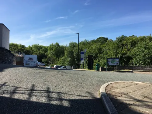

Carnedd Moelyci
Monument and historic site · 1.5 mi
Remains of a burial cairn, probably dating to the Bronze Age, within enclosed moorland on the leading edge of the NW facing side of the...
Ty'n Llidiart Round Hut
Monument and historic site · 1.6 mi
Domestic hut probably Roman NPRN 302710
Parks, trails and playgrounds2

Spinnies Nature Reserve
Park · 2.6 mi
Nature reserve at Aberogwen, Wales

Restaurants and cafes24
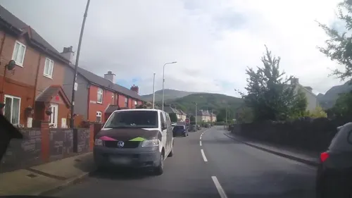
Douglas Arms
Bar and pub · 1.4 mi
Stryd Fawr, Bangor
"pub has closed - it is for sale"
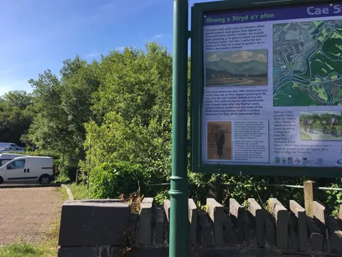
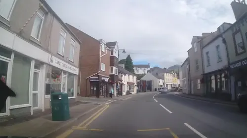
Tŷ Isaf
Bar and pub · 1.2 mi
9 High Street, Bangor
Mo-Sa 11:30-23:30;Su 11:00-11:00

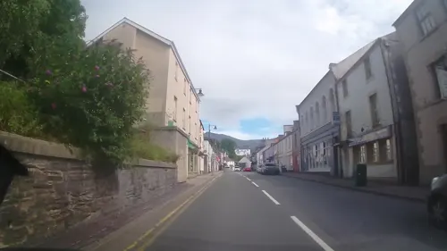
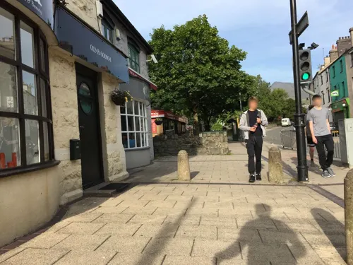
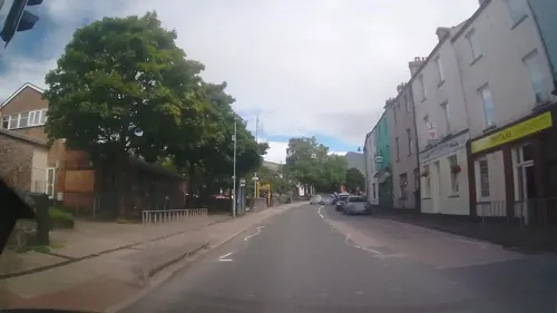
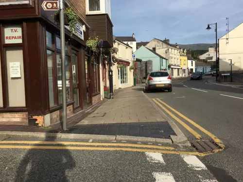


12 more on the map.
History
The village grew around the local slate industry, with many houses being built to house quarry workers and their families. The village is renowned for a street of houses that were built by Lord Penrhyn, proprietor of the Penrhyn Quarry and occupier of Penrhyn Castle, to accommodate the workers that refused to strike during the Penrhyn Lockout of 1900–1903. The street, Tanrhiw Road, was known locally as 'Stryd y Gynffon' (Traitor's Row or Tail Terrace) and was one of the first main settlements in the village based alongside the farmsteads of Ty'n Clawdd, Tanrhiw Isaf and Tanrhiw Uchaf.
Tregarth has a population of around 1,300 people, of whom around 80% consider the Welsh language their first language.
The village is the birthplace of Ifor Williams, Ifor Bowen Griffith, T. Gwynn Jones and actor John Ogwen. Tregarth is also home to sculptor Ann Catrin Evans.
From the History section of Tregarth on Wikipedia, under CC BY-SA 4.0.
Notable people from Tregarth
- Ifor WilliamsWelsh scholar (1881–1965)
- Rhodri JonesWelsh photographer
Born in Tregarth, according to Wikidata (CC0). Each name links to its Wikipedia article.
Where to stay5
Churches and places of worship12
Shopping4
Gas and EV charging1
Schools, colleges and libraries10
Healthcare1
Map of Tregarth
69 places. The map loads OpenStreetMap tiles when you open it.
Getting there and nearby towns
RAF Valley - Anglesey Airport (VLY) is the nearest airport with scheduled flights listed in OpenStreetMap, 19 miles away.
- Bangor 3 mi northwest, about 5 min by car
- Llandudno 14 mi northeast, about 23 min by car
- Colwyn Bay 17 mi northeast, about 27 min by car
- Valley 21 mi west, about 34 min by car
- Abergele 22 mi east, about 35 min by car
- Holyhead 24 mi west, about 38 min by car
- Rhyl 26 mi east, about 42 min by car
- Prestatyn 30 mi east, about 48 min by car
- Flint 40 mi east, about 1 h by car
- Buckley 42 mi east, about 1 h by car
Drive times are estimates from straight-line distance, not routes.
Towns near Tregarth


Keep exploring
Local news
Headlines from INDB.
Reviews, tips and questions
Loading what members have shared...
Sources and licences
- GeoNames (CC BY 4.0): population, coordinates, regions and time zone
- Mapillary (see each image): photos
- OpenStreetMap contributors (ODbL 1.0): places, airports, map data
- Wikidata (CC0 1.0): elevation, founding date, time zone, website, landmarks and historic places
- Wikimedia Commons (see each image): photos
- Wikipedia (CC BY-SA 4.0): overview and history text
Photo credits
- Santes Fair St Mary's Church tregarth Gwynedd Wales, Llywelyn2000, CC BY-SA 4.0
- Our Lady and St James, Bangor, Andrew Woodvine from Bangor, CC BY-SA 2.0
- Bangor University (50555605717), Andrew Woodvine from Bangor, CC BY-SA 2.0
- Bethesda, Jerusalem Chapel (35833213886), The National Churches Trust, CC BY 2.0
- Bethania Welsh Independent Chapel, GeraintTudur2, CC BY-SA 3.0
- Christ Church (Bethesda), Florin Huluba, CC BY-SA 4.0
- Pant yr Ardd, Andrew Woodvine from Bangor, CC BY-SA 2.0
- View of the Spinnies Nature Reserve, Gwynedd, North Wales, Lesbardd, CC BY-SA 4.0
- Brigantia, Bangor, 12xii, CC BY-SA 4.0
- Fron Heulog, Bangor, 12xii, CC BY-SA 4.0
- Front - plant (1), BangorWeb, CC BY-SA 4.0
- Exposed bedrock covered in lichen and heather, on the slopes of Moel-y-Ci, with Bangor and Anglesey in the background, Seraaron, CC BY-SA 4.0
- Street-level photo, trigpoint, CC BY-SA 4.0
- Street-level photo, trigpoint, CC BY-SA 4.0
- Street-level photo, trigpoint, CC BY-SA 4.0
- Street-level photo, gness, CC BY-SA 4.0
- Street-level photo, trigpoint, CC BY-SA 4.0
- Street-level photo, gness, CC BY-SA 4.0
- Street-level photo, gness, CC BY-SA 4.0
- Street-level photo, gness, CC BY-SA 4.0
- Street-level photo, gness, CC BY-SA 4.0
- Street-level photo, gness, CC BY-SA 4.0
- Street-level photo, gness, CC BY-SA 4.0
- Street-level photo, gness, CC BY-SA 4.0
- Street-level photo, gness, CC BY-SA 4.0
- Street-level photo, trigpoint, CC BY-SA 4.0


Page built November 10, 2026. Spotted a mistake? Tell us or suggest a place.