


Walkington, United Kingdom
Walkington is a town of 1,769 people in England, United Kingdom.
Why visit Walkington
Townapedia lists 4 museums and landmarks, 1 park or trail, 4 places to eat and 1 place to stay in and around town.
Highlights include The Beverley Treasure House and Beverley Minster Sanctuary Stone.
Weather in Walkington
Forecast from MET Norway (CC BY 4.0). Full forecast
About Walkington
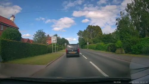
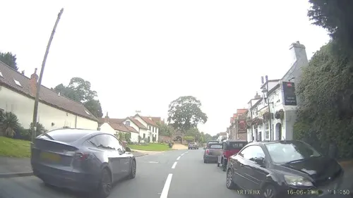
Walkington is a village and civil parish in the East Riding of Yorkshire, England. It is situated approximately 3 miles (4.8 km) to the south-west of the town of Beverley on the B1230 road, and Beverley Grammar School.
From the Wikipedia article Walkington (this version), under CC BY-SA 4.0.
Museums and landmarks4

The Beverley Treasure House
Museum · 2.9 mi
History museum in East Riding of Yorkshire, England

Beverley Guildhall
Museum · 2.9 mi
Grade I listed building in Beverley, East Riding of Yorkshire, England, UK

Parks, trails and playgrounds1

Restaurants and cafes4



Where to stay1

Churches and places of worship10
Schools, colleges and libraries1
Map of Walkington
21 places. The map loads OpenStreetMap tiles when you open it.
Getting there and nearby towns
Humberside Airport (HUY) is the nearest airport with scheduled flights listed in OpenStreetMap, 18 miles away.
- Little Weighton 2 mi south, about 3 min by car
- Beverley 3 mi northeast, about 5 min by car
- Brough 7 mi southwest, about 11 min by car
- Kingston upon Hull 8 mi southeast, about 13 min by car
- Barton upon Humber 9 mi south, about 15 min by car
- Winteringham 10 mi southwest, about 16 min by car
- Driffield 13 mi north, about 21 min by car
- Hedon 13 mi southeast, about 21 min by car
- Scunthorpe 18 mi south, about 29 min by car
- Goole 18 mi southwest, about 29 min by car
Drive times are estimates from straight-line distance, not routes.
Towns near Walkington


Keep exploring
Local news
Headlines from INDB.
Reviews, tips and questions
Loading what members have shared...
Sources and licences
- GeoNames (CC BY 4.0): population, coordinates, regions and time zone
- Mapillary (see each image): photos
- OpenStreetMap contributors (ODbL 1.0): places, airports, map data
- Wikidata (CC0 1.0): elevation, founding date, time zone, website, landmarks and historic places
- Wikimedia Commons (see each image): photos
- Wikipedia (CC BY-SA 4.0): overview and history text
Photo credits
- Village Hall Walkington IMG 1634 - panoramio, Paul Lakin, CC BY 3.0
- Methodist Church Walkington, Peter Church, CC BY-SA 2.0
- West End, Walkington IMG 1637 - panoramio, Paul Lakin, CC BY 3.0
- Walkington Board School children near Dog and Duck c.1910 (archive ref PO-1-142-2) (30269206862), East Riding Archives, CC0
- Lawson's Wagoners, East End, Walkington 1875 (archive ref PC43-72) (28868523860), East Riding Archives, No restrictions
- Treasure House Beverley, John S Turner, CC BY-SA 2.0
- Beverley - Minster - 19, Benjamin Smith, CC BY-SA 4.0
- St Michael and All Angels Church Cherry Burton, Dr Patty McAlpin, CC BY-SA 2.0
- Beverley - St Mary's Church - 10, Benjamin Smith, CC BY-SA 4.0
- The Dog and Duck Walkington, Paul Harrop, CC BY-SA 2.0
- Outside the Ferguson Fawsitt Arms pub, Walkington 1875 (archive ref PC43-68) (29050311302), East Riding Archives, No restrictions
- All Hallows Church Walkington 1902 (archive ref PO-1-142-1 (1) ) (33207484405), East Riding Archives, CC0
- Street-level photo, aidan573, CC BY-SA 4.0
- Street-level photo, aidan573, CC BY-SA 4.0
- Street-level photo, albertdougie15, CC BY-SA 4.0
- Street-level photo, aidan573, CC BY-SA 4.0
- Street-level photo, aidan573, CC BY-SA 4.0
- Street-level photo, aidan573, CC BY-SA 4.0


_)_(33207484405).jpg)
Page built November 10, 2026. Spotted a mistake? Tell us or suggest a place.