


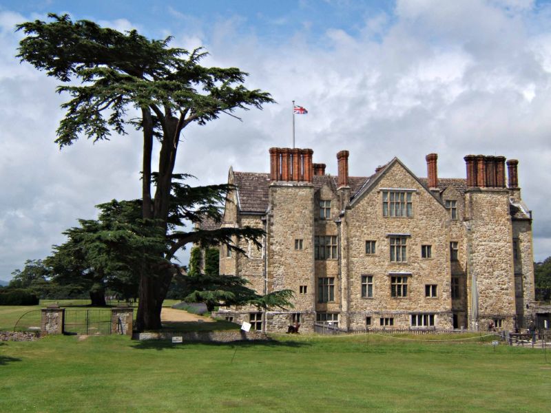


Washington, United Kingdom
Washington is a town of 1,930 people in England, United Kingdom.
Why visit Washington
Townapedia lists 10 museums and landmarks, 7 parks and trails, 14 places to eat, 1 place to stay and 5 attractions in and around town.
Highlights include Chanctonbury Ring, Muntham Court Romano-British site and Parham House.
Weather in Washington
Forecast from MET Norway (CC BY 4.0). Full forecast
About Washington
Washington is a village and civil parish in the Horsham District of West Sussex, England. It is located five miles (eight kilometres) west of Steyning and three miles (five kilometres) east of Storrington on the A24 between Horsham and Worthing. The parish covers an area of 1,276 hectares (3,150 acres). In the 2001 census 1,930 people lived in 703 households, of whom 820 were economically active.
From the Wikipedia article Washington, West Sussex (this version), under CC BY-SA 4.0.
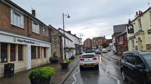
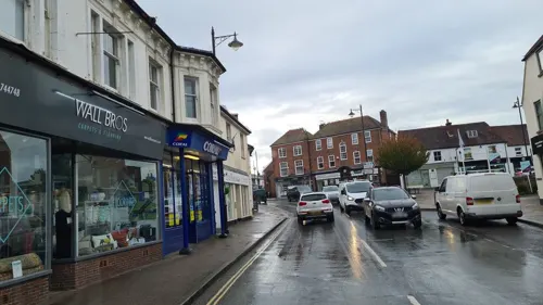
Photos of Washington

Things to do5




Museums and landmarks10

Muntham Court Romano-British site
Monument and historic site · 2.3 mi
Archaeological site in Findon, Arun, West Sussex, England, UK

Parham House
Museum · 3.9 mi
Elizabethan house in Parham, Horsham, West Sussex, England

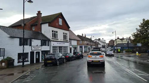

Flint mine and a bowl barrow on Church Hill, 400m south west of Findon Place
Monument and historic site · 2.9 mi
Archaeological site in West Sussex, England, UK
Prehistoric flint mine and a Martin Down style enclosure on Harrow hill, 850m south east of Lee Farm
Monument and historic site · 3.1 mi
Prehistoric site in West Sussex, England, UK
Parks, trails and playgrounds7



Restaurants and cafes14

The Frankland Arms
Bar and pub
London Road, Pulborough
Mo-Sa 12:00-23:00; Su 12:00-22:30
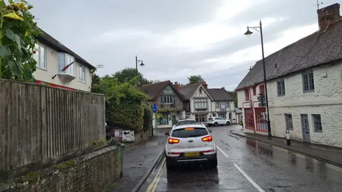
Costa
Cafe · Coffee Shop · 2.2 mi
Unit 9 & Unit 10 Old Mill Drive, Storrington
Mo-Fr 07:00-17:30; Sa 07:30-17:00; Su 07:30-16:30
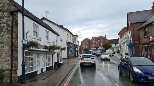
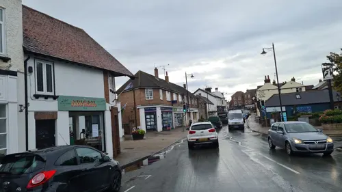


Storrington Fish Co.
Fast food · Fish And Chips · 2.2 mi
6 Mill Lane, Pulborough
Th-Sa 12:00-14:00,16:45-20:00; We 16:45-20:00
Golden Plaice
Fast food · Fish And Chips · 2.1 mi
London Road, Pulborough
2 more on the map.
Where to stay1
Churches and places of worship12
Shopping4
Gas and EV charging1
Schools, colleges and libraries5
Healthcare1
Map of Washington
60 places. The map loads OpenStreetMap tiles when you open it.
Getting there and nearby towns
Brighton City Airport (ESH) is the nearest airport with scheduled flights listed in OpenStreetMap, 7 miles away.
- Findon 3 mi south, about 4 min by car
- Worthing 6 mi south, about 10 min by car
- Lancing 6 mi southeast, about 10 min by car
- Goring-by-Sea 6 mi south, about 10 min by car
- Shoreham-by-Sea 8 mi southeast, about 12 min by car
- Rustington 8 mi southwest, about 13 min by car
- Cowfold 8 mi northeast, about 13 min by car
- Littlehampton 9 mi southwest, about 14 min by car
- Portslade 9 mi southeast, about 15 min by car
- Hurstpierpoint 10 mi east, about 16 min by car
Drive times are estimates from straight-line distance, not routes.
Towns near Washington


Keep exploring
Local news
Headlines from INDB.
Reviews, tips and questions
Loading what members have shared...
Sources and licences
- GeoNames (CC BY 4.0): population, coordinates, regions and time zone
- Mapillary (see each image): photos
- OpenStreetMap contributors (ODbL 1.0): places, airports, map data
- Wikidata (CC0 1.0): elevation, founding date, time zone, website, landmarks and historic places
- Wikimedia Commons (see each image): photos
- Wikipedia (CC BY-SA 4.0): overview and history text
Photo credits
- Washington Church, Charlesdrakew, Public domain
- View of Muntham Court Romano-British site, Ivan Bandura, CC BY 4.0
- Parham Park 03, Rictor Norton & David Allen from London, United Kingdom, CC BY 2.0
- Jarvis Hall, Jarvis Lane, Steyning (IoE Code 298766), The Voice of Hassocks, CC0
- Steyning Methodist Church, Steyning, The Voice of Hassocks, CC0
- Steyning St Andrews Church, from the SW, Michael Coppins, CC BY-SA 4.0
- Ashurst Church, West Sussex, Simon Carey, CC BY-SA 2.0
- Chanctonbury Ring bank south-west view, Prioryman, CC BY-SA 3.0
- View of the main school building, WindleshamHouse, CC BY 2.0
- Wiston House, West Sussex, England, Wheeltapper, CC0
- Sullington St Mary, Oxenhillshaw ( talk ), Public domain
- St Mary's, Washington, West Sussex, Antiquary, CC BY 4.0
- Frankland Arms, Washington, West Sussex, England, Charlesdrakew, Public domain
- Chanctonbury Ring south-east view, Prioryman, CC BY-SA 3.0
- Chantry Hill South Downs Way, Malcolm Oakley, CC BY-SA 3.0
- Street-level photo, andreste96, CC BY-SA 4.0
- Street-level photo, andreste96, CC BY-SA 4.0
- Street-level photo, andreste96, CC BY-SA 4.0
- Street-level photo, andreste96, CC BY-SA 4.0
- Street-level photo, richardc, CC BY-SA 4.0
- Street-level photo, andreste96, CC BY-SA 4.0
- Street-level photo, andreste96, CC BY-SA 4.0
- Street-level photo, andreste96, CC BY-SA 4.0
- Street-level photo, richardc, CC BY-SA 4.0


Page built November 10, 2026. Spotted a mistake? Tell us or suggest a place.