


Why visit Cowfold
Townapedia lists 4 museums and landmarks, 9 parks and trails, 17 places to eat, 3 places to stay and 5 attractions in and around town.
Highlights include Betley Bridge, Knepp Castle, Sedgwick Castle and Knepp Wildland.
Weather in Cowfold
Forecast from MET Norway (CC BY 4.0). Full forecast
About Cowfold
Cowfold is a village and civil parish between Billingshurst and Haywards Heath in the Horsham District of West Sussex, England. The village is at the intersection of the A272 and A281 roads. The parish has a land area of 1,926 hectares (4,760 acres). In the 2001 census 1,864 people lived in 729 households, of whom 987 were economically active.
From the Wikipedia article Cowfold (this version), under CC BY-SA 4.0.
Things to do5
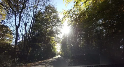

Betley Bridge
Bridge · 3.2 mi
Disused railway bridge in West Sussex, England, United Kingdom

Museums and landmarks4

Knepp Castle
Monument and historic site · 3.3 mi
Castle ruin and scheduled monument in Shipley, Horsham, West Sussex, RH13

Sedgwick Castle
Monument and historic site · 3.5 mi
Castle in Sedgwick, England

Parks, trails and playgrounds9



Restaurants and cafes17
Camelia Botnar Homes & Gardens Coffee Shop
Cafe · 1.4 mi
Littleworth Lane, Horsham

Wobblegate Orchards - Cider Tap & Brewhouse
Bar and pub · Pizza · 2.3 mi
Cowfold Rd
We-Sa 12:00-21:30; Su 12:00-19:00


The Bakery
Bakery · 2.5 mi
3 Wilton Close, Horsham
Mo-Fr 07:00-14:00; Sa 07:00-12:00

5 more on the map.
History
In 1938 a sewage works was built on the south-east side of the village, and piped water was supplied to houses.
In 1984 there was a restaurant in the village, and two antique shops.
In 2014, the Coach House Inn (formerly "The Red Lion"), located next to the north roundabout, closed to make way for a new Co-op food store, and the former Co-op situated in The Village Store was closed.
In 2018 a new sports pavilion/community facility was erected on the recreational field, on the former site of the old football pavilion, named The Allmond Centre.
From the History section of Cowfold on Wikipedia, under CC BY-SA 4.0.
Notable people from Cowfold
- Nigel BuxtonBritish travel writer (1924-2015)
- John Brisco RayEnglish diver
Born in Cowfold, according to Wikidata (CC0). Each name links to its Wikipedia article.
Where to stay3
Churches and places of worship19
Shrine Church of Our Lady of Consolation and St Francis
Church · 2.4 mi
Shopping3
Gas and EV charging1
Schools, colleges and libraries3
Healthcare1
Map of Cowfold
65 places. The map loads OpenStreetMap tiles when you open it.
Getting there and nearby towns
Brighton City Airport (ESH) is the nearest airport with scheduled flights listed in OpenStreetMap, 11 miles away.
- Handcross 5 mi northeast, about 9 min by car
- Horsham 6 mi northwest, about 9 min by car
- Hurstpierpoint 6 mi southeast, about 9 min by car
- Burgess Hill 6 mi east, about 10 min by car
- Haywards Heath 7 mi east, about 12 min by car
- Broadfield 8 mi north, about 13 min by car
- Warnham 8 mi northwest, about 12 min by car
- Slinfold 8 mi northwest, about 13 min by car
- Ditchling 8 mi southeast, about 13 min by car
- Crawley 9 mi northeast, about 15 min by car
Drive times are estimates from straight-line distance, not routes.
Towns near Cowfold


Keep exploring
Local news
Headlines from INDB.
Reviews, tips and questions
Loading what members have shared...
Sources and licences
- GeoNames (CC BY 4.0): population, coordinates, regions and time zone
- Mapillary (see each image): photos
- OpenStreetMap contributors (ODbL 1.0): places, airports, map data
- Wikidata (CC0 1.0): elevation, founding date, time zone, website, landmarks and historic places
- Wikimedia Commons (see each image): photos
- Wikipedia (CC BY-SA 4.0): overview and history text
Photo credits
- Alongside Cowfold churchyard, Antiquary, CC BY-SA 4.0
- Knepp Castle, July 2021 (1), Richard Nevell, CC BY-SA 4.0
- Tamworth sow at Knepp Wildland, tomline43, CC BY 2.0
- Leonardslee 026, Charlesdrakew, Public domain
- St. George's, West Grinstead, Antiquary, CC BY-SA 4.0
- West Grinstead RC church, Antiquary, CC BY-SA 4.0
- St Mary Magdalene's Church, Bolney (IoE Code 302420), The Voice of Hassocks, Public domain
- St Michael and All Angels Church Partridge Green - the Tower, Kinnerton, CC BY-SA 3.0
- Henfield C of E parish church, Antiquary, CC BY-SA 4.0
- Church of St Mary the Virgin, Shipley, West Sussex, England ~ exterior from the west, Acabashi, CC BY-SA 4.0
- Ashurst Church, West Sussex, Simon Carey, CC BY-SA 2.0
- St Peter's church, Cowfold, Antiquary, CC BY 3.0
- Shermanbury church, Charlesdrakew, Public domain
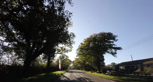
- Street-level photo, richardc, CC BY-SA 4.0
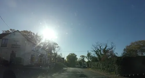
- Street-level photo, matt_ellery, CC BY-SA 4.0
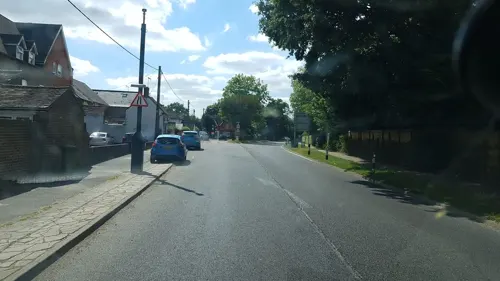
- Street-level photo, richardc, CC BY-SA 4.0
- Street-level photo, matt_ellery, CC BY-SA 4.0
- Street-level photo, richardc, CC BY-SA 4.0
- Street-level photo, tallguy, CC BY-SA 4.0
- Street-level photo, tallguy, CC BY-SA 4.0
- Street-level photo, matt_ellery, CC BY-SA 4.0
- Street-level photo, richardc, CC BY-SA 4.0
- Street-level photo, tallguy, CC BY-SA 4.0


Page built November 10, 2026. Spotted a mistake? Tell us or suggest a place.