


Watlington, United Kingdom
Watlington is a town of 2,187 people in England, United Kingdom.
Why visit Watlington
Townapedia lists 5 museums and landmarks, 3 parks and trails, 11 places to eat, 1 place to stay and 3 attractions in and around town.
Highlights include Garsington Opera, Britwell Salome Farm Shop, Shirburn Castle and Aston Rowant NNR.
Weather in Watlington
Forecast from MET Norway (CC BY 4.0). Full forecast
About Watlington
Watlington is a market town and civil parish in South Oxfordshire, England, about 7 miles (11 km) south of Thame. It is near Oxfordshire's eastern edge and less than 2 miles (3 km) from its border with Buckinghamshire. The parish includes the hamlets of Christmas Common, Greenfield and Howe Hill, all of which are in the Chiltern Hills. The 2011 Census recorded the parish's population as 2,727.
From the Wikipedia article Watlington, Oxfordshire (this version), under CC BY-SA 4.0.
Photos of Watlington


Things to do3

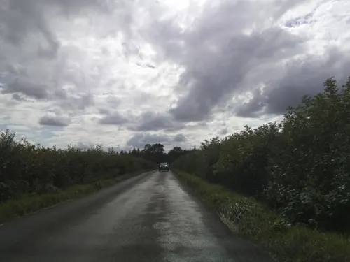

Britwell Salome Farm Shop
Farm and orchard · 1.3 mi
Tu-Fr 08:30-17:00; Sa 08:30-16:00; Su 09; 00-12:00
Museums and landmarks5


Watlington White Mark
Monument and historic site · 0.7 mi
The White Mark was cut by Edward Horne to give the illusion of a spire on the Watlington parish church from his home, in 1764.
Parks, trails and playgrounds3


Shirburn Park
Park · 1.1 mi
Boundary of Shirburn Park as per Historic England Listing map. These are the private grounds associated with Shirburn Castle
No access
Restaurants and cafes11
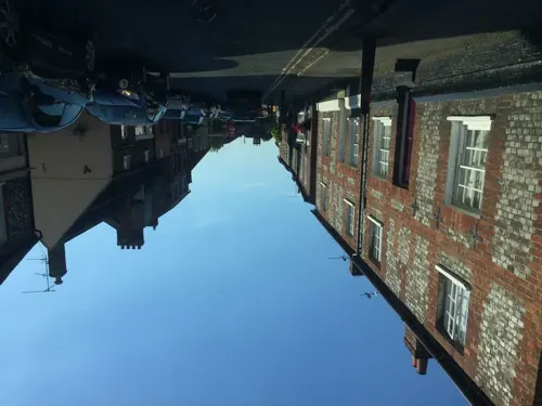
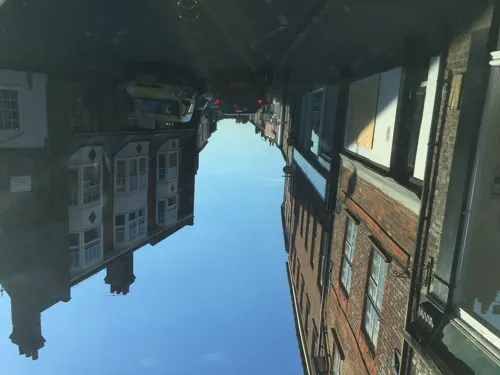
Kingfisher Fish & Chips
Fast food · Fish And Chips
60 Couching Street, Watlington


History
The Watlington area is likely to have been settled at an early date, encouraged by the proximity of the Icknield Way. The toponym means "settlement of Waecel's people" and indicates occupation from around the 6th century. A 9th-century charter by Æthelred of Mercia records eight 'manses' or major dwellings in Watlington. The Domesday Book of 1086 referred to the town as Watelintone or Watelintune. Medieval documents indicate that the modern street plan was in existence in the 14th century, as Cochynes-lane (Couching Street), and Brook Street are recorded.
There are records of inns in Watlington since the 15th century. In 1722 the town's market was listed as being held on a Saturday. By the end of the 18th century the town had six inns, all of which were bought up in the next few years by a local brewing family, the Haywards. The number of licensed premises increased until late in the 19th century when George Wilkinson, a Methodist bought six of them and closed them down. Today Watlington has three public houses remaining: The Spire & Spoke (formerly the Carriers Arms), The Chequers and The Fat Fox Inn. Parliamentarian troops were billeted at Watlington during the English Civil War. It is thought that John Hampden stayed in the town the night before the Battle of Chalgrove Field.
Read more of the history
In 1664–65 Watlington Town Hall was built at the expense of Thomas Stonor. Its upper room was endowed by Stonor as a grammar school for boys, and in 1731 Dame Alice Tipping of Ewelme gave a further endowment to increase the number of pupils. In 1842 the town Vestry established a National School, which shared the same rooms in the town hall. In 1843 a National School for girls was built next to St Leonard's church. In 1872 the boys' and girls' schools were absorbed into a new Board school, which like its predecessors was affiliated to the National Society for Promoting Religious Education. In 1927 the school was divided into separate junior and senior schools. In 1956 a new secondary school – the Icknield School – opened for senior pupils and the primary school took over the old premises. The Icknield School is now Icknield Community College.
By 1895 the town hall, which was no longer used as a school, was in disrepair. In 1907 it was restored by public subscription. It is a landmark at the meeting point of three roads in the centre of the town. Since 1990 Watlington has been twinned with the town of Mansle in the Poitou-Charentes region of France. The Watlington Hoard, a collection of silver items dating back to the time of Alfred the Great in the 9th century, was rediscovered in Watlington by James Mather, an amateur metal-detectorist, in 2015. The hoard was subsequently excavated, and eventually purchased by the Ashmolean Museum in Oxford for £1.35m.
From the History section of Watlington, Oxfordshire on Wikipedia, under CC BY-SA 4.0.
More about Watlington
Education
Early years and primary education in Watlington is provided by Watlington Primary School, first opened in 1874. Lower secondary education for students up to the age of 16 from Watlington and many of the surrounding villages is provided by Icknield Community College, a mixed-sex comprehensive school. Icknield Community College does not provide sixth form education, and instead works with three partnership schools in the area, Henley College in Henley-on-Thames, Lord Williams's School in Thame, and Wallingford School in Wallingford, as well as sending students to many other sixth forms and colleges in the area.
From the Wikipedia article Watlington, Oxfordshire, under CC BY-SA 4.0.
Notable people from Watlington
 Julian HollowayBritish actor (1944–2025)Photo: Unknown author Unknown author, Public domain
- Charles Harvey DixonBritish politician
Born in Watlington, according to Wikidata (CC0). Each name links to its Wikipedia article.
Where to stay1
Churches and places of worship11
Shopping2
Gas and EV charging1
Schools, colleges and libraries3
Healthcare1
Map of Watlington
41 places. The map loads OpenStreetMap tiles when you open it.
Getting there and nearby towns
RAF Benson (BEX) is the nearest airport with scheduled flights listed in OpenStreetMap, 4 miles away.
- Wallingford 6 mi southwest, about 10 min by car
- Thame 7 mi north, about 12 min by car
- Rotherfield Peppard 8 mi south, about 13 min by car
- Garsington 8 mi northwest, about 14 min by car
- Henley-on-Thames 9 mi southeast, about 14 min by car
- Longwick 9 mi northeast, about 14 min by car
- Didcot 10 mi west, about 17 min by car
- High Wycombe 11 mi east, about 18 min by car
- Cowley 11 mi northwest, about 17 min by car
- Reading 13 mi south, about 21 min by car
Drive times are estimates from straight-line distance, not routes.
Towns near Watlington


Keep exploring
Local news
Headlines from INDB.
Reviews, tips and questions
Loading what members have shared...
Sources and licences
- GeoNames (CC BY 4.0): population, coordinates, regions and time zone
- Mapillary (see each image): photos
- OpenStreetMap contributors (ODbL 1.0): places, airports, map data
- Wikidata (CC0 1.0): elevation, founding date, time zone, website, landmarks and historic places
- Wikimedia Commons (see each image): photos
- Wikipedia (CC BY-SA 4.0): overview and history text
Photo credits
- Town Hall, Watlington, Richard Kelly, CC BY 4.0
- Hampden House, Couching Street, Watlington, Sionk, CC BY-SA 4.0
- Couching Street, Watlington, Sionk, CC BY-SA 4.0
- 39 Couching Street, Watlington, Sionk, CC BY-SA 4.0
- 2 and 2a High Street, Watlington, Sionk, CC BY-SA 4.0
- High Street, Watlington (1), Sionk, CC BY-SA 4.0
- High Street, Watlington (2), Sionk, CC BY-SA 4.0
- Aston Rowant NNR view over Oxford Clay plain, Chiswick Chap, CC BY-SA 3.0
- Icknield Community College in Watlington Oxfordshire May 2018, DoubleGrazing, CC BY-SA 4.0
- BrightwellBaldwin StBartholomew SE, Motacilla, CC BY-SA 4.0
- St Nicholas, Britwell Salome 01, Poliphilo, CC0
- Cuxham HolyRood exterior, Motacilla, CC BY-SA 3.0
- Watlington Primary School July2020, DoubleGrazing, CC BY-SA 4.0
- Garsington Opera at Wormsley, Mike Hoban, CC0
- Shirburn Castle and Gardens-adj, Matt Emmett, CC BY-SA 3.0
- Chiltern Gentian Gentianella germanica (6170970367), Len Worthington, CC BY-SA 2.0
- Street-level photo, laye, CC BY-SA 4.0
- Street-level photo, laye, CC BY-SA 4.0
- Street-level photo, southglos, CC BY-SA 4.0
- Street-level photo, laye, CC BY-SA 4.0
- Street-level photo, laye, CC BY-SA 4.0
- Street-level photo, laye, CC BY-SA 4.0
- Street-level photo, laye, CC BY-SA 4.0
- Street-level photo, laye, CC BY-SA 4.0
- Street-level photo, southglos, CC BY-SA 4.0


Page built November 10, 2026. Spotted a mistake? Tell us or suggest a place.