


Wokingham, United Kingdom
Wokingham is a town of 41,143 people in England, United Kingdom.
Why visit Wokingham
Townapedia lists 1 museum or landmark, 29 parks and trails, 73 places to eat, 3 places to stay and 4 attractions in and around town.
Highlights include Grays Farm Shop, Wokingham Theatre, Museum of Berkshire Aviation and California Country Park.
Weather in Wokingham
Forecast from MET Norway (CC BY 4.0). Full forecast
About Wokingham
Wokingham is a market town and civil parish in Berkshire, England. It is the main administrative centre of the wider Borough of Wokingham. At the 2021 census the parish had a population of 38,284 and the wider built-up area had a population of 50,325.
From the Wikipedia article Wokingham (this version), under CC BY-SA 4.0.
Travel tips from other travellers: Wokingham on Wikivoyage (CC BY-SA 4.0).
Things to do4


Museums and landmarks1

Museum of Berkshire Aviation
Museum · 3.4 mi
Aircraft museum in Woodley, England
Parks, trails and playgrounds29
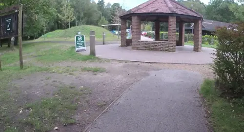

Jock's Copse
Park · 3.1 mi
Nature reserve in Binfield, Berkshire, England, UK


Temple Copse
Park · 2.8 mi
Nature reserve in Binfield, Berkshire, England, UK

Arlington Square
Park · 3.4 mi
Business park in Bracknell, Berkshire, England, UK
Dinton Pastures Country Park
Park · 3.0 mi
Park in Berkshire, England
Holt Copse & Joel Park
Park · 0.6 mi
Local Nature Reserve in Berkshire, England
Tinkers Copse
Park · 3.1 mi
Nature reserve in Binfield, Berkshire, England, UK


17 more on the map.
Restaurants and cafes73
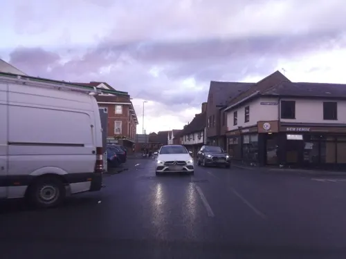
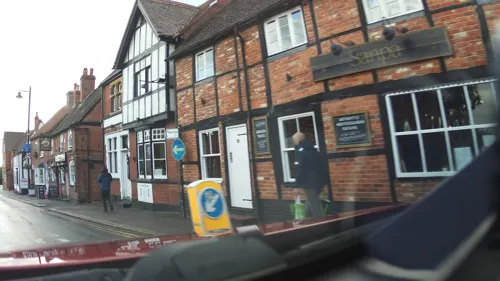
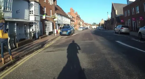
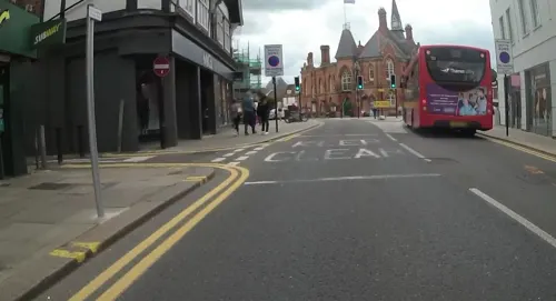
Caffè Nero
Cafe · Coffee Shop
3-5 Peach Street, Wokingham
Mo-Fr 07:00-17:30; Sa 07:30-18:30; Su 07:30-17:30
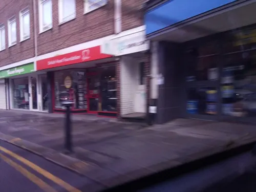
Hamlet
Restaurant · Regional, European
10 Peach Street
Mo-We 08:00-16:00; Th-Sa 08:00-23:00; Su 09:00-16:00
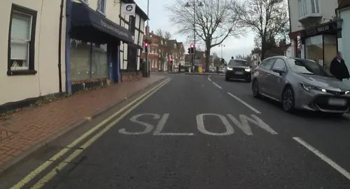
The Station Tap
Bar and pub
59 Station Road, Wokingham
Su 11:00-24:00; Mo-We 07:00-24:00; Th 07:00-01:00; Fr 07:00-02:30;...

61 more on the map.
History
Wokingham means 'Wocca's people's home'. Wocca was apparently a Saxon chieftain who may also have owned lands at Wokefield in Berkshire and Woking in Surrey. In Victorian times, the name became corrupted to Oakingham, and consequently the acorn with oak leaves is the town's heraldic charge, granted in the 19th century. Geologically, Wokingham sits at the northern end of the Bagshot Formation, overlying London clay, suggesting a prehistorical origin as a marine estuary. The courts of Windsor Forest were held at Wokingham and the town had the right to hold a market from 1219. The Bishop of Salisbury was largely responsible for the growth of the town during this period. He set out roads and plots making them available for rent. There are records showing that in 1258 he bought the rights to hold three town fairs every year.
Read more of the history
From the 14th to the 16th centuries, Wokingham was well known for its bell foundry which supplied many churches across the South of England. During the Tudor period, Wokingham was well known as a producer of silk. Some of the houses involved in these cottage industries are still to be seen in Rose Street. In the years 1643–44 Wokingham was regularly raided by both sides in the Civil War. These raids would involve the looting of livestock and trading goods, and over thirty buildings were burnt down, accounting for nearly 20% of buildings in the town at that time. It was not until the early 18th century that Wokingham had fully recovered.
Wokingham was once famous for its bull-baiting. In 1661 George Staverton left a bequest in his will giving two bulls to be tethered in the Market Place and baited by dogs on St. Thomas' Day (21 December) each year. The bulls were paraded around the town a day or two before the event and then locked in the yard of the original Rose Inn which was situated on the site of the present-day Superdrug store. People travelled from miles around to see the dangerous spectacle. A number of dogs would be maimed or killed during the event and the bulls were eventually destroyed. The meat and leather were distributed amongst the poor people of the town. Some of the spectators also sustained fatal injuries. In 1794 on the morning after the bull-baiting Elizabeth North was found dead and covered with bruises. In 1808, 55-year-old Martha May died after being hurt by fighters in the crowd. The cruel 'sport' was prohibited by the Corporation in 1821 but bulls were still provided at Christmas and the meat distributed to the poor. Bull-baiting was banned by Act of Parliament in 1833.
In 1723, the 'Black Act' was passed in Parliament to make it an offence to black one's face to commit criminal acts. It was named after an infamous band of ruffians, known as the 'Wokingham Blacks', who terrorised the local area until 29 of them were arrested after fighting a pitched battle with Grenadier Guards in Bracknell. The formerly important industry of brick-making has given way to software development, light engineering and service industries, and the population has greatly increased.
From the History section of Wokingham on Wikipedia, under CC BY-SA 4.0.
More about Wokingham
Geography
Wokingham is on the Emm Brook in the Loddon Valley in central Berkshire situated 39 miles (62.8 km) west of central London. It sits between the larger towns of Reading and Bracknell and was originally in a band of agricultural land on the western edge of Windsor Forest. The soil is a rich loam with a subsoil of sand and gravel. Wokingham has a town centre, with main residential areas radiating in all directions. These include Woosehill to the west, Emmbrook to the northwest, Dowlesgreen, Norreys, Keephatch and Bean Oak to the east, and to the south Wescott and Eastheath. Older names include Woodcray and Luckley Green.
Wokingham has grown extensively since the mid-20th century. Woosehill and Dowlesgreen were built on farmland in the late 1960s and early 1970s, along with Bean Oak. Keephatch was built in the early 1990s. The Norreys Estate was built in the 1960s; however, Norreys Avenue is the oldest residential road in that area, having been built in the late 1940s as emergency housing following the Second World War. Norreys Avenue has a horseshoe shape and occupies the site of the demolished Norreys Manor. Much of the road contains 1940s-style prefabricated houses, although there are some brick houses along with three blocks of 1950s police houses.
Education
The Forest School is a mixed-sex comprehensive school in the neighbouring village of Winnersh
The Holt School is a girls' school (founded in 1931 in the Dower House of Beche's Manor)
Bohunt School Wokingham is a mixed-sex comprehensive school opened in 2016.
Holme Grange School founded in 1945 for Girls and Boys aged 3–16 years
Luckley House School founded at Luckley House in 1918 for girls aged 11–18, now a boarding and day school for boys and girls
White House Preparatory School, for girls aged 2–11, now closed
Westende Junior School is a co-educational junior school established in 1974. The school caters for children from the ages of seven to eleven. The school is near the town centre in Seaford Road and is bordered by St Crispin's School and the King George V playing field. The majority of children at Westende come from the nearby Wescott Infant School, and the two schools share a joint Parent Teachers' Association. In September 1995 the school opened 'The Acorns', the first junior school resource in Berkshire for pupils with a diagnosis of Special Educational Need for autism spectrum disorders (ASD).
From the Wikipedia article Wokingham, under CC BY-SA 4.0.
Notable people from Wokingham
 Nicholas HoultEnglish actor (born 1989)Photo: Harald Krichel, CC BY-SA 4.0
 Will YoungBritish singerPhoto: Brian Marks, CC BY 2.0
 Daniel HowellEnglish YouTuber, radio personality, and writerPhoto: Gretchen @pjsforestkid, Public domain
 Michael TomlinsonBritish politician and Conservative MP (born 1977)Photo: Michael Tomlinson's Office, CC BY-SA 4.0
 Russell SladeEnglish football managerPhoto: Jon Candy, CC BY-SA 2.0
 Harry BaldwinEnglish cricketer (1860-1935)Photo: Unknown author Unknown author, Public domain
 Anne SnelgroveBritish Labour politician (born 1957)Photo: Chris O'Brien, CC BY-SA 4.0
- George Spencer-Churchill, 6th Duke of MarlboroughBritish politician (1793-1857)
- John RhodesEnglish competition sailor (1870–1947)
- Andrew SmithBritish politician (born 1951)
- Peter AinsworthBritish politician (1956–2021)
- Robert DickieEnglish association football player (born 1996)
Born in Wokingham, according to Wikidata (CC0). Each name links to its Wikipedia article.
Where to stay3
Churches and places of worship10
St Michael and St Mary Magdalene's Church, Easthampstead
Church · 3.3 mi
Shopping13
Gas and EV charging3
Schools, colleges and libraries22
Healthcare4
Map of Wokingham
162 places. The map loads OpenStreetMap tiles when you open it.
Getting there and nearby towns
Blackbushe Airport (BBS) is the nearest airport with scheduled flights listed in OpenStreetMap, 6 miles away.
- Crowthorne 3 mi southeast, about 5 min by car
- Lower Earley 4 mi west, about 6 min by car
- Yateley 5 mi south, about 8 min by car
- Sandhurst 5 mi southeast, about 8 min by car
- Reading 7 mi northwest, about 11 min by car
- Camberley 7 mi southeast, about 10 min by car
- Ascot 7 mi east, about 11 min by car
- Frimley 8 mi southeast, about 12 min by car
- Sunninghill 8 mi east, about 13 min by car
- Henley-on-Thames 9 mi north, about 14 min by car
Drive times are estimates from straight-line distance, not routes.
Towns near Wokingham


Keep exploring
Local news
Headlines from INDB.
Reviews, tips and questions
Loading what members have shared...
Sources and licences
- GeoNames (CC BY 4.0): population, coordinates, regions and time zone
- Mapillary (see each image): photos
- OpenStreetMap contributors (ODbL 1.0): places, airports, map data
- Wikidata (CC0 1.0): elevation, founding date, time zone, website, landmarks and historic places
- Wikimedia Commons (see each image): photos
- Wikipedia (CC BY-SA 4.0): overview and history text
Photo credits
- St Michaels Easthampstead Front, Tim Sneller, Public domain
- St Crispins School, Wokingham, User:Dahliarose, Public domain
- Shepperlands Farm (3), Dudley Miles, CC BY-SA 4.0
- Jock's Copse (1), Dudley Miles, CC BY-SA 4.0
- Temple Copse (5), Dudley Miles, CC BY-SA 4.0
- Street-level photo, southglos, CC BY-SA 4.0
- Street-level photo, southglos, CC BY-SA 4.0
- Street-level photo, southglos, CC BY-SA 4.0
- Street-level photo, jpennycook, CC BY-SA 4.0
- Street-level photo, southglos, CC BY-SA 4.0
- Street-level photo, laye, CC BY-SA 4.0
- Street-level photo, jpennycook, CC BY-SA 4.0
- Street-level photo, southglos, CC BY-SA 4.0
- Street-level photo, jpennycook, CC BY-SA 4.0
- Street-level photo, laye, CC BY-SA 4.0
- Street-level photo, jpennycook, CC BY-SA 4.0
- Street-level photo, southglos, CC BY-SA 4.0
- Street-level photo, jpennycook, CC BY-SA 4.0
- Street-level photo, southglos, CC BY-SA 4.0
- Street-level photo, southglos, CC BY-SA 4.0
- Street-level photo, jpennycook, CC BY-SA 4.0
- Street-level photo, jpennycook, CC BY-SA 4.0
- Street-level photo, southglos, CC BY-SA 4.0
- Street-level photo, southglos, CC BY-SA 4.0
- Street-level photo, laye, CC BY-SA 4.0
- Street-level photo, jpennycook, CC BY-SA 4.0
- Street-level photo, jpennycook, CC BY-SA 4.0
- Street-level photo, southglos, CC BY-SA 4.0
- Street-level photo, southglos, CC BY-SA 4.0
Page built November 10, 2026. Spotted a mistake? Tell us or suggest a place.