


Why visit Yateley
Townapedia lists 2 museums and landmarks, 18 parks and trails, 43 places to eat and 3 attractions in and around town.
Highlights include Yateley War Memorial, California Country Park and Edgbarrow Woods.
Weather in Yateley
Forecast from MET Norway (CC BY 4.0). Full forecast
About Yateley
Yateley () is a town and civil parish in the English county of Hampshire. It lies in the north-eastern corner of Hart District Council area, and is approximately 33 mi (53 km) southwest of Central London. It includes the settlements of Frogmore and Darby Green to the east. Yateley's population was 20,334 at the 2021 census.
From the Wikipedia article Yateley (this version), under CC BY-SA 4.0.
Photos of Yateley

Things to do3


Museums and landmarks2


Parks, trails and playgrounds18
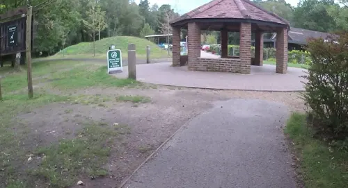

Edgbarrow Woods
Park · 1.6 mi
Woods situated between Sandhurst and Crowthorne, Berkshire, England
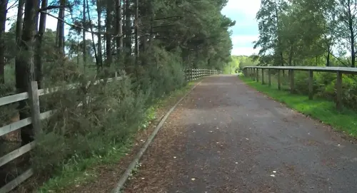
Elvetham Heath Local Nature Reserve and Open Spaces
Park · 3.4 mi
Local Nature Reserve in Elvetham Heath, Hampshire





6 more on the map.
Restaurants and cafes43
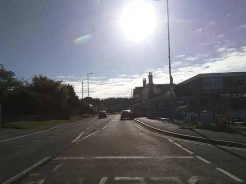
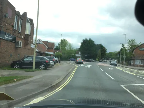

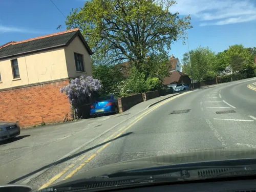
Rose and Crown
Bar and pub · 0.9 mi
108 High Street
Mo-Th 12:00-23:00; Fr-Sa 12:00-00:00; Su 12:00-22:00
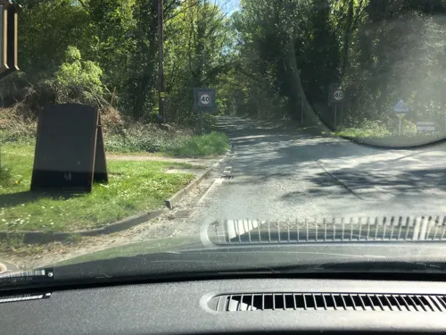
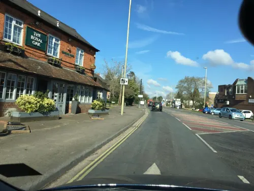

Pathfinder Cafe
Cafe · Coffee Shop, Sandwich, Fish And Chips, Ice Cream · 1.5 mi
Blackbushe Airport
Mo-Su 08:00-16:00


31 more on the map.
History
The name Yateley derives from the Middle English 'Yate' meaning 'Gate' (into Windsor Forest) and 'Lea', a 'forest clearing'.
In historical records, spelling variations include Hyatele, Yateleghe, Yatche, Yatelighe, Yeatley, Yeateley and Yatelegh.
From the History section of Yateley on Wikipedia, under CC BY-SA 4.0.
More about Yateley
Education
Following the closure and amalgamation of St Peter's Church of England Junior School and Yateley Infant School, a new primary school opened in September 2010. Named Cranford Park CE Primary School.
Yateley School is the largest secondary school in north-east Hampshire. It caters for children aged 11 to 16 and has an attached sixth-form college.
Frogmore Community College is another secondary school in Yateley.
Yateley Manor School is an independent school catering for around 500 pupils aged 3 to 13.
From the Wikipedia article Yateley, under CC BY-SA 4.0.
Notable people from Yateley
- Edward CaswallEnglish clergyman and hymnwriter (1814-1878)
- Daniel BoysBritish actor and singer
- Robert MorganBritish animator
- Walter MasonNew Zealand cricketer (1848-1924)
- Jennifer Ward Clarkecellist (1935-2015)
Born in Yateley, according to Wikidata (CC0). Each name links to its Wikipedia article.
Churches and places of worship7
Immaculate Conception Church
Church · Roman Catholic · 1.4 mi
Yorktown Road, Sandhurst
Shopping3
Gas and EV charging4
Schools, colleges and libraries16
Cranford Park Church of England Primary School
School · Anglican · 0.4 mi
Cranford Park Drive, Yateley
St Michael's Church of England Primary School, Sandhurst
School · Anglican · 0.8 mi
Lower Church Road, Sandhurst
Healthcare5
Map of Yateley
101 places. The map loads OpenStreetMap tiles when you open it.
Getting there and nearby towns
Blackbushe Airport (BBS) is the nearest airport with scheduled flights listed in OpenStreetMap, 1 miles away.
- Sandhurst 2 mi east, about 3 min by car
- Crowthorne 2 mi northeast, about 4 min by car
- Camberley 4 mi east, about 6 min by car
- Frimley 4 mi southeast, about 7 min by car
- Ascot 8 mi northeast, about 13 min by car
- Sunninghill 9 mi northeast, about 14 min by car
- Reading 10 mi northwest, about 16 min by car
- Woking 12 mi east, about 19 min by car
- Basingstoke 12 mi southwest, about 20 min by car
- Tadley 13 mi west, about 21 min by car
Drive times are estimates from straight-line distance, not routes.
Towns near Yateley


Keep exploring
Local news
Headlines from INDB.
Reviews, tips and questions
Loading what members have shared...
Sources and licences
- GeoNames (CC BY 4.0): population, coordinates, regions and time zone
- Mapillary (see each image): photos
- OpenStreetMap contributors (ODbL 1.0): places, airports, map data
- Wikidata (CC0 1.0): elevation, founding date, time zone, website, landmarks and historic places
- Wikimedia Commons (see each image): photos
- Wikipedia (CC BY-SA 4.0): overview and history text
Photo credits
- The White Lion Public House, Yateley, Lewis Hulbert, CC BY-SA 4.0
- Yateley War Memorial 2, Lewis Hulbert, CC BY-SA 4.0
- Yateley War Memorial, Lewis Hulbert, CC BY-SA 4.0
- Ye Olde Vicarage, Yateley, Lewis Hulbert, CC BY-SA 4.0
- Edgbarrow Woods nature reserve, Alan Hunt, CC BY-SA 2.0
- Church of St michael Sandhurst, Graemev2, CC BY-SA 3.0
- Castlebottomnnr, Babylon77, CC BY-SA 4.0
- Immaculate Conception Catholic Church, Sandhurst, Lewis Hulbert, CC BY-SA 3.0
- Shepperlands Farm (3), Dudley Miles, CC BY-SA 4.0
- Corvus monedula on grass, Lewis Hulbert, CC BY 3.0
- Street-level photo, darbymark, CC BY-SA 4.0
- Street-level photo, darbymark, CC BY-SA 4.0
- Street-level photo, southglos, CC BY-SA 4.0
- Street-level photo, darbymark, CC BY-SA 4.0
- Street-level photo, darbymark, CC BY-SA 4.0
- Street-level photo, darbymark, CC BY-SA 4.0
- Street-level photo, darbymark, CC BY-SA 4.0
- Street-level photo, darbymark, CC BY-SA 4.0
- Street-level photo, darbymark, CC BY-SA 4.0
- Street-level photo, southglos, CC BY-SA 4.0
- Street-level photo, darbymark, CC BY-SA 4.0
- Street-level photo, jpennycook, CC BY-SA 4.0
- Street-level photo, jpennycook, CC BY-SA 4.0
- Street-level photo, darbymark, CC BY-SA 4.0
- Street-level photo, darbymark, CC BY-SA 4.0
- Street-level photo, darbymark, CC BY-SA 4.0
- Street-level photo, darbymark, CC BY-SA 4.0
- Street-level photo, southglos, CC BY-SA 4.0
- Street-level photo, darbymark, CC BY-SA 4.0
- Street-level photo, laye, CC BY-SA 4.0
- Street-level photo, darbymark, CC BY-SA 4.0
- Street-level photo, darbymark, CC BY-SA 4.0
- Street-level photo, darbymark, CC BY-SA 4.0
- Street-level photo, darbymark, CC BY-SA 4.0
- Street-level photo, darbymark, CC BY-SA 4.0

Page built November 10, 2026. Spotted a mistake? Tell us or suggest a place.