


North Sunderland, United Kingdom
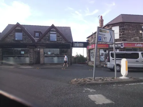
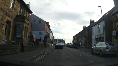
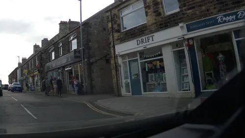
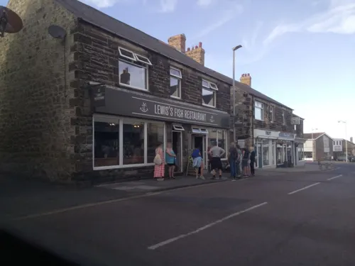
North Sunderland is a town of 1,843 people in England, United Kingdom.
Why visit North Sunderland
Townapedia lists 2 museums and landmarks, 1 park or trail, 18 places to eat, 13 places to stay and 2 attractions in and around town.
Highlights include Farne Lighthouse, Bamburgh Castle and Monument To Grace Darling Circa 30 Yards West Of Church Of St Aidan.
Weather in North Sunderland
Forecast from MET Norway (CC BY 4.0). Full forecast
About North Sunderland
North Sunderland is a fishing village on the coast of Northumberland, England, and adjacent to Seahouses. The population of the civil parish was 1,803 at the 2001 census, increasing to 1,959 at the 2011 Census.
From the Wikipedia article North Sunderland (this version), under CC BY-SA 4.0.
Things to do2

Farne Lighthouse
Lighthouse · 2.7 mi
Lighthouse in North Sunderland, Northumberland, England, UK

Museums and landmarks2

Bamburgh Castle
Museum · 2.9 mi
Grade I listed historic house museum in Bamburgh, United Kingdom

Monument To Grace Darling Circa 30 Yards West Of Church Of St Aidan
Monument and historic site · 3.0 mi
Monument in the churchyard of St Aidan's Church, Bamburgh, Northumberland, England, UK
Parks, trails and playgrounds1

Restaurants and cafes18
Coxons Ice Cream and Cafe
Cafe · 0.5 mi
1a Seafield Road, Seahouses
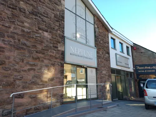
Rosemary's Tea & Coffee House
Cafe · 0.6 mi
13 Main Street, Seahouses
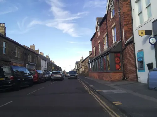
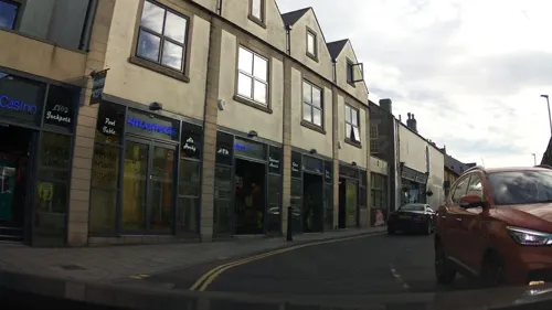



Hook
Restaurant · Seafood · 0.6 mi
17-19 Main Street, Seahouses
Indian Brasserie
Restaurant · Indian · 0.5 mi
40 Main Street, Seahouses
6 more on the map.
History
Historically, the inland village of North Sunderland grew significantly when the nearby coast was developed as a harbour. Houses were built, particularly in connection with the herring fishery. Community growth became concentrated around these sea-houses, eventually being recognised under the name Seahouses. In practice, there is no recognisable boundary between the two.
From the History section of North Sunderland on Wikipedia, under CC BY-SA 4.0.
Where to stay13
Churches and places of worship4
Shopping10
Mattches Hardware, Paint & Garden
Hardware store · 0.4 mi
51 Main Street, Seahouses
Gas and EV charging1
Schools, colleges and libraries2
Healthcare1
Map of North Sunderland
54 places. The map loads OpenStreetMap tiles when you open it.
Getting there and nearby towns
Newcastle International Airport (NCL) is the nearest airport with scheduled flights listed in OpenStreetMap, 37 miles away.
- Lesbury 12 mi south, about 20 min by car
- Shilbottle 14 mi south, about 23 min by car
- Warkworth 16 mi south, about 25 min by car
- Berwick-Upon-Tweed 19 mi northwest, about 30 min by car
- Ashington 28 mi south, about 45 min by car
- Morpeth 28 mi south, about 45 min by car
- Bedlington 31 mi south, about 50 min by car
- Blyth 32 mi south, about 51 min by car
- Cramlington 34 mi south, about 55 min by car
- Newcastle upon Tyne 42 mi south, about 1 h by car
Drive times are estimates from straight-line distance, not routes.
Towns near North Sunderland


Keep exploring
Local news
Headlines from INDB.
Reviews, tips and questions
Loading what members have shared...
Sources and licences
- GeoNames (CC BY 4.0): population, coordinates, regions and time zone
- Mapillary (see each image): photos
- OpenStreetMap contributors (ODbL 1.0): places, airports, map data
- Wikidata (CC0 1.0): elevation, founding date, time zone, website, landmarks and historic places
- Wikimedia Commons (see each image): photos
- Wikipedia (CC BY-SA 4.0): overview and history text
Photo credits
- North Sunderland (2021-05-26) 18, Simon Cobb, CC0
- NCN Millennium Milepost MP695 North Sunderland Northumberland, Peter Turner, CC BY-SA 2.0
- Bamburgh 2006 closeup, Michael Hanselmann - Quaoar10, CC BY-SA 3.0
- Grace Darling monument, Bamburgh, Nicholas Jackson, CC BY-SA 3.0
- North Sunderland (2021-05-26) 13, Simon Cobb, CC0
- Seahouses (2021-05-26) 19, Simon Cobb, CC0
- Seahouses (2021-05-26) 03, Simon Cobb, CC0
- Inner Farne Lighthouse (48397906076), Reading Tom from Reading, UK, CC BY 2.0
- Street-level photo, southglos, CC BY-SA 4.0
- Street-level photo, southglos, CC BY-SA 4.0
- Street-level photo, southglos, CC BY-SA 4.0
- Street-level photo, southglos, CC BY-SA 4.0
- Street-level photo, southglos, CC BY-SA 4.0
- Street-level photo, southglos, CC BY-SA 4.0
- Street-level photo, southglos, CC BY-SA 4.0
- Street-level photo, southglos, CC BY-SA 4.0
- Street-level photo, southglos, CC BY-SA 4.0
- Street-level photo, southglos, CC BY-SA 4.0
- Street-level photo, southglos, CC BY-SA 4.0
- Street-level photo, southglos, CC BY-SA 4.0
- Street-level photo, egrettagarzetta, CC BY-SA 4.0
- Street-level photo, southglos, CC BY-SA 4.0
- Street-level photo, southglos, CC BY-SA 4.0
- Street-level photo, southglos, CC BY-SA 4.0
- Street-level photo, southglos, CC BY-SA 4.0
- Street-level photo, southglos, CC BY-SA 4.0
- Street-level photo, southglos, CC BY-SA 4.0

Page built November 10, 2026. Spotted a mistake? Tell us or suggest a place.