


Why visit Yarnton
Townapedia lists 18 museums and landmarks, 19 parks and trails, 39 places to eat, 5 places to stay and 8 attractions in and around town.
Highlights include A34 Road Bridge, Botley Bridge, Blenheim Palace and Oxford Bus Museum.
Weather in Yarnton
Forecast from MET Norway (CC BY 4.0). Full forecast
About Yarnton
Yarnton is a village and civil parish in Oxfordshire about 1 mile (1.6 km) southwest of Kidlington and 4 miles (6 km) northwest of Oxford. The 2011 census recorded the parish's population as 2,545.
From the Wikipedia article Yarnton (this version), under CC BY-SA 4.0.
Photos of Yarnton


Things to do8

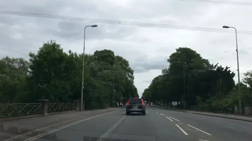

Godstow Bridge
Bridge · 1.8 mi
Grade II listed bridge in Oxford, Oxfordshire, England, UK

Medley Footbridge
Bridge · 3.1 mi
Iron footbridge between Binsey, Oxfordshire and a chain of islands in the Thames at Port Meadow, Oxford.

Swinford Toll Bridge
Bridge · 2.9 mi
Bridge in Cumnor, Vale of White Horse, Oxfordshire, England, UK

King's Lock
Bridge · 1.1 mi
Lock on the River Thames in Oxfordshire, England

Museums and landmarks18

Blenheim Palace
Museum · 3.3 mi
Country house near Woodstock, Oxfordshire, England, UK
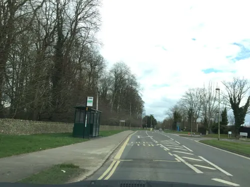
Oxford Bus Museum
Museum · 3.0 mi
Transport museum in Oxfordshire, England, United Kingdom
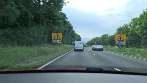
Seacourt
Monument and historic site · 2.9 mi
Deserted medieval village in Oxfordshire, England, UK

Soldiers of Oxfordshire Museum
Museum · 3.6 mi
Military museum in Woodstock, England, United Kingdom



Oxfordshire Museum
Museum · 3.6 mi
Museum in Woodstock, Oxfordshire, United Kingdom

6 more on the map.
Parks, trails and playgrounds19

Hook Meadow and The Trap Grounds
Park · 2.4 mi
Site of Special Scientific Interest, Oxford, England


7 more on the map.
Restaurants and cafes39


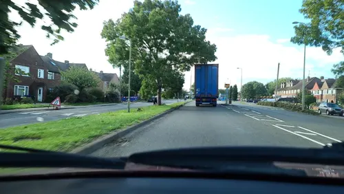
Mayflower
Restaurant · Chinese · 1.5 mi
25-28 Fairfax Centre, Oxford Road, Kidlington
Mo-Su 12:00-13:45, Mo-Th,Su 17:10-22:00, Fr-Sa 17:10-22:15
The Mill Cafe
Cafe · Community Centre · 1.6 mi
2 Baynhams Drive, Oxford
Th-Fr 10:00-16:00; Sa 10:00-14:00

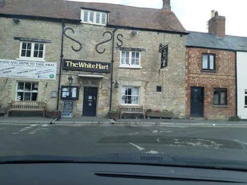
The White Hart
Bar and pub · 1.6 mi
126 Godstow Road, Oxford
Mo 16:00-23:00; Tu-Th 15:00-23:00; Fr-Sa 12:00-24:00; Su 10:00-22:00


Marco Pierre White Steakhouse Bar & Grill
Restaurant · Grill, Steak House · 1.7 mi
Godstow Road, Oxford
Tu-Sa 18:00-21:30
27 more on the map.
Notable people from Yarnton
 Ellie Darcey-AldenBritish actressPhoto: JDNightMhalelOsamaGhobhadi, CC0
Born in Yarnton, according to Wikidata (CC0). Each name links to its Wikipedia article.
Where to stay5
Churches and places of worship15
Shopping11
Gas and EV charging4
Schools, colleges and libraries12
West Kidlington Primary and Nursery School
School · 1.4 mi
Oxford Road, Kidlington
Healthcare4
Map of Yarnton
135 places. The map loads OpenStreetMap tiles when you open it.
Getting there and nearby towns
Oxford Airport (OXF) is the nearest airport with scheduled flights listed in OpenStreetMap, 2 miles away.
- Kidlington 2 mi northeast, about 2 min by car
- Oxford 4 mi southeast, about 7 min by car
- North Leigh 6 mi west, about 9 min by car
- Stonesfield 6 mi northwest, about 10 min by car
- Cowley 7 mi southeast, about 11 min by car
- Standlake 7 mi southwest, about 12 min by car
- Witney 8 mi west, about 12 min by car
- Ducklington 8 mi west, about 13 min by car
- Abingdon 9 mi south, about 15 min by car
- Bicester 9 mi northeast, about 15 min by car
Drive times are estimates from straight-line distance, not routes.
Towns near Yarnton


Keep exploring
Local news
Headlines from INDB.
Reviews, tips and questions
Loading what members have shared...
Sources and licences
- GeoNames (CC BY 4.0): population, coordinates, regions and time zone
- Mapillary (see each image): photos
- OpenStreetMap contributors (ODbL 1.0): places, airports, map data
- Wikidata (CC0 1.0): elevation, founding date, time zone, website, landmarks and historic places
- Wikimedia Commons (see each image): photos
- Wikipedia (CC BY-SA 4.0): overview and history text
Photo credits
- Yarnton 06, Simon Burchell, CC BY-SA 4.0
- Yarnton 05, Simon Burchell, CC BY-SA 4.0
- Yarnton 04, Simon Burchell, CC BY-SA 4.0
- Yarnton 07, Simon Burchell, CC BY-SA 4.0
- Yarnton 03, Simon Burchell, CC BY-SA 4.0
- Yarnton 02, Simon Burchell, CC BY-SA 4.0
- Yarnton 01, Simon Burchell, CC BY-SA 4.0
- St. Bartholomew's Church, Yarnton 09, Simon Burchell, CC BY-SA 4.0
- St. Bartholomew's Church, Yarnton 08, Simon Burchell, CC BY-SA 4.0
- St. Bartholomew's Church, Yarnton 07, Simon Burchell, CC BY-SA 4.0
- St. Bartholomew's Church, Yarnton 06, Simon Burchell, CC BY-SA 4.0
- A34 Thames Bridge 909053 db01759e-by-Pierre-Terre, Pierre Terre, CC BY-SA 2.0
- Godstow Bridge, Pierre Terre, CC BY-SA 2.0
- Rainbow Footbridge 1, EugeneStarostin, CC BY-SA 4.0
- Oxfordeynsham5, en:User:Jimfbleak, CC BY-SA 3.0
- Blenheim Palace 6-2008 4, Jvhertum, Public domain
- Church of St Philip and St James, Oxford, Jpbowen, CC BY-SA 3.0
- St Andrews Church Oxford, User:Mtcv, CC BY-SA 4.0
- Jericho StBarnabas 2006-01, Motacilla, CC BY-SA 3.0
- St Margaret's Church, Oxford, Fenvoe Vaemaq, CC BY-SA 3.0
- St. Martin's Church, Bladon 11, Simon Burchell, CC BY-SA 4.0
- Islip StNicholasTheConfessor E, Motacilla, CC BY-SA 3.0
- Yarnton StBartholomew southeast, Motacilla, CC BY-SA 3.0
- Wolvercote StPeter southwest, Motacilla, CC BY-SA 4.0
- Trout inn Wolvercote UK, Helena, CC BY-SA 2.0
- Yarnton Manor east, Motacilla, CC BY-SA 3.0
- Wolvercote RedLion, Motacilla, CC BY-SA 3.0
- Wolvercote WhiteHart, Motacilla, CC BY-SA 3.0
- St. Bartholomew's Church, Yarnton 05, Simon Burchell, CC BY-SA 4.0
- Waterloo Medal - Charles Rowan, DilletantiAnonymous, CC BY-SA 4.0
- Street-level photo, southglos, CC BY-SA 4.0
- Street-level photo, southglos, CC BY-SA 4.0
- Street-level photo, jerome_pietri, CC BY-SA 4.0
- Street-level photo, trigpoint, CC BY-SA 4.0
- Street-level photo, alexanderar, CC BY-SA 4.0
- Street-level photo, laye, CC BY-SA 4.0
- Street-level photo, trigpoint, CC BY-SA 4.0
- Street-level photo, adam2, CC BY-SA 4.0
- Street-level photo, laye, CC BY-SA 4.0
- Street-level photo, alexanderar, CC BY-SA 4.0
- Street-level photo, adam2, CC BY-SA 4.0
- Street-level photo, alexanderar, CC BY-SA 4.0
- Street-level photo, southglos, CC BY-SA 4.0
- Street-level photo, laye, CC BY-SA 4.0
- Street-level photo, alexanderar, CC BY-SA 4.0
- Street-level photo, alexanderar, CC BY-SA 4.0
- Street-level photo, southglos, CC BY-SA 4.0
- Street-level photo, laye, CC BY-SA 4.0
- Street-level photo, southglos, CC BY-SA 4.0


Page built November 10, 2026. Spotted a mistake? Tell us or suggest a place.