


Yamagata, Japan
山県市
Yamagata is a town of 27,356 people in Gifu, Japan, founded in April 1, 2003.
Why visit Yamagata
Townapedia lists 30 museums and landmarks, 90 parks and trails, 217 places to eat, 8 places to stay and 16 attractions in and around town.
Highlights include Gifu Pharmaceutical University, Gifu University, Cormorant Fishing House and Eizō & Tōichi Katō Memorial Art Museum.
Weather in Yamagata
Forecast from MET Norway (CC BY 4.0). Full forecast
About Yamagata
Yamagata (山県市, Yamagata-shi; Japanese pronunciation: [jä̀.mä́.ɡä̀.tä̀, -ŋä̀.tä̀, -ɡä́.tä́.ɕì, -ŋä́.tä́-]) is a city located in Gifu, Japan. As of 1 January 2019, the city had an estimated population of 27,356 in 10,868 households, and a population density of 120 persons per km2. The total area of the city was 221.98 square kilometres (85.71 sq mi).
From the Wikipedia article Yamagata, Gifu (this version), under CC BY-SA 4.0.
Things to do16
Gifu Pharmaceutical University
School · 3.7 km
Higher education institution in Gifu Prefecture, Japan

Gifu University
School · 3.3 km
Higher education institution in Gifu Prefecture, Japan

Aquatotto Gifu
Monument and historic site · 12.1 km
Zoo in Gifu, Japan
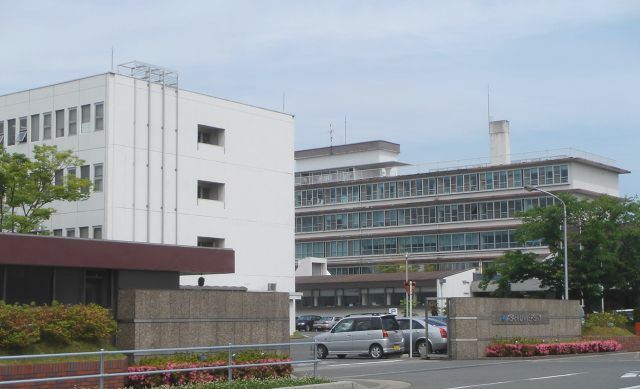
Asahi University
School · 12.8 km
Higher education institution in Gifu Prefecture, Japan

Chubu Gakuin University
School · 11.6 km
Private university in Seki, Japan
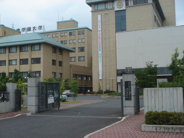
Gifu Shotoku Gakuen University
School · 14.1 km
Higher education institution in Gifu Prefecture, Japan


National Institute of Technology, Gifu College
School · 9.6 km
National college in Motosu, Japan


百々ヶ峰
Scenic view · 2.9 km
1923年の国主導の初の地図の作成において無名とされた岐阜市の最高峰。 2003年に「この最高峰こそ百々ヶ峰とあるべき」との声が市民より上がり、2007年に岐阜市から国土地理院に「地名等の訂正申請」を行いこの地点が百々ヶ峰最高峰となった。


百々ヶ峰・西峰
Scenic view · 2.0 km
かつてはこの地点を「百々ヶ峰」とした歴史あり。 岐阜市主導による国土地理院への「地名等の訂正申請」により2007年をもって、約1000m東の417.9m地点を「百々ヶ峰」と改めました。
4 more on the map.
Museums and landmarks30

Cormorant Fishing House
Museum · 3.9 km
Cormorant fishing museum in Gifu Prefecture, Japan
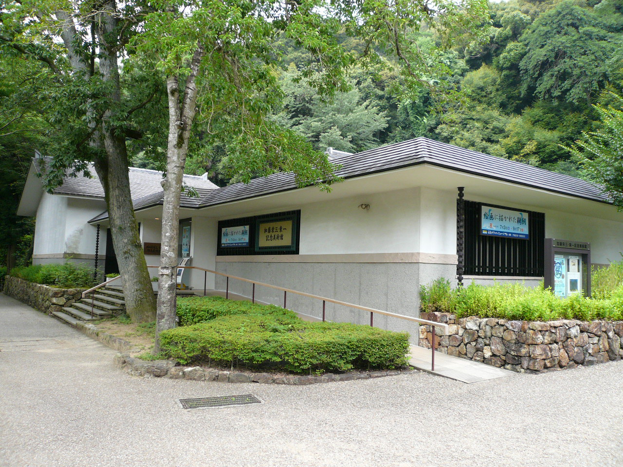
Eizō & Tōichi Katō Memorial Art Museum
Museum · 4.6 km
Museum in Gifu, Japan


Gifu City Museum of History
Museum · 4.8 km
Museum in Gifu, Gifu, Japan


Kotozuka Kofun
Monument and historic site · 7.5 km
Archaeological site

Mirokuji kanga ruins
Monument and historic site · 11.5 km
Archaeological site in Japan

Oibora-Asakura Sue Ware Kiln Site
Monument and historic site · 7.7 km
Archaeological site in Japan

The Museum of Fine Arts, Gifu
Museum · 9.2 km
Art museum in Gifu, Gifu, Japan


18 more on the map.
Parks, trails and playgrounds90


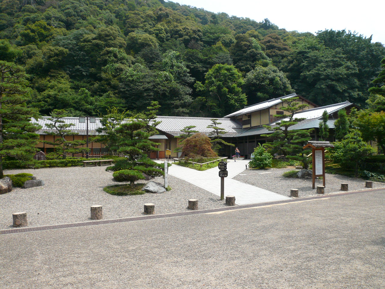




78 more on the map.
Restaurants and cafes217


冷したぬき天国川原町店
Restaurant · Japanese, Soba · 4.4 km
CASA stella 1F, 岐阜市
Mo-Fr 11:00-17:00; Sa-Su 11:00-14:30,17:00-20:00; Th off

205 more on the map.
History
The area around Yamagata was part of traditional Mino Province. The name, "Yamagata", can be found in Nara period records, and is thus one of the oldest place names in Japan. During the Edo period, much of the area was tenryō territory under the direct control of the Tokugawa shogunate. In the post-Meiji restoration cadastral reforms, Yamagata District in Gifu prefecture was created. The village of Takatomi was established on July 1, 1889, with the establishment of the modern municipalities system, and was raised to town status on March 19, 1897.
Takatomi and the town of Miyama and village of Ijira (all from Yamagata District) merged to form the city of Yamagata on April 1, 2003.
From the History section of Yamagata, Gifu on Wikipedia, under CC BY-SA 4.0.
Where to stay8
Churches and places of worship116
Shopping25
Gas and EV charging13
Schools, colleges and libraries31
Healthcare48
Map of Yamagata
250 places. The map loads OpenStreetMap tiles when you open it.
Getting there and nearby towns
Gifu Airbase (QGU) is the nearest airport with scheduled flights listed in OpenStreetMap, 13 km away.
- Gifu 6 km south, about 6 min by car
- Kitagata 9 km southwest, about 9 min by car
- Kakamigahara 11 km southeast, about 11 min by car
- Kasamatsuchō 12 km south, about 12 min by car
- Kurono 13 km west, about 13 min by car
- Mino 15 km northeast, about 15 min by car
- Kōnan 18 km southeast, about 18 min by car
- Gōdo 17 km southwest, about 17 min by car
- Ichinomiya 20 km south, about 20 min by car
- Ōgaki 20 km southwest, about 20 min by car
Drive times are estimates from straight-line distance, not routes.
Local news
Headlines from INDB.
Reviews, tips and questions
Loading what members have shared...
Sources and licences
- GeoNames (CC BY 4.0): population, coordinates, regions and time zone
- OpenStreetMap contributors (ODbL 1.0): places, airports, map data
- Wikidata (CC0 1.0): elevation, founding date, time zone, website, landmarks and historic places
- Wikimedia Commons (see each image): photos
- Wikipedia (CC BY-SA 4.0): overview and history text
Photo credits
- Yamagata City Hall in Gifu, ja:user:Monami, CC BY-SA 3.0
- Yamagata 20210410-52, 円周率3パーセント, CC BY-SA 4.0
- Yamagata 20210410-51, 円周率3パーセント, CC BY-SA 4.0
- Yamagata Takatomi Post office, hyolee2 This photo was taken with Casio Exilim EX-ZS240, CC BY-SA 4.0
- Gifu Pharmaceutical University1, Original uploader was Monami at ja.wikipedia, CC BY-SA 3.0
- アクア・トトぎふ 外観, 世界淡水魚園水族館, CC BY-SA 4.0
- Asahi University, Monami at Japanese Wikipedia, CC BY-SA 3.0
- Chubugakuin University Seki2007-1, Monami, CC BY-SA 3.0
- Hagi-no-Taki01, Monami, CC BY-SA 3.0
- Tokai Gakuin University2008-1, Monami, CC BY-SA 3.0
- 鵜飼資料園, Opqr, CC BY-SA 4.0
- Katoeizotoichi, Douggers at English Wikipedia, CC BY 2.5
- Enku Museum 4, Hide-sp, CC BY-SA 3.0
- Gifushirekishi, Douggers at English Wikipedia, CC BY 2.5
- Gifu City Science Museum 1, Hide-sp, CC BY-SA 3.0
- 弥勒寺官衙遺跡, Opqr, CC BY-SA 4.0
- Asakura Sue Ware Kiln Site, Gifu, 2019, 大野一将, CC BY-SA 4.0
- THE MUSEUM OF FINE ARTS,GIFU 1, Hide-sp, CC BY-SA 3.0
- Gifu Memorial Center Sunsun Deck 1, Hide-sp, CC BY-SA 3.0
- Gifu Womans Univ2, Monami at ja.wikipedia, CC BY-SA 3.0
- Gifuparktea, Douggers at English Wikipedia, CC BY 2.5
- Nagaragawa Stadium 5, Waka77, CC0
- Gifugokokujinjya5775, 日: Jnn, CC BY 2.1 jp
- Obusa-Gokokushiji04, Monami, CC BY-SA 3.0
- Nagara-tenjin-jinja2008-1, Monami, CC BY-SA 3.0
- Sofukuji Gifu01, Monami, CC BY-SA 3.0
- Nagaragawa Baseball Stadium, Alpsdake, CC BY-SA 3.0
- Mount Dodo from Mount Kinka 2011-10-29, Alpsdake, CC BY-SA 3.0
- Sanko Museum 1, Hide-sp, CC BY-SA 3.0
- Iwanodakitasyo, Opqr, CC BY-SA 3.0
- Iwanodatyu, Opqr, CC BY-SA 3.0
- Iwanodasyo, Opqr, CC BY-SA 3.0
- Kenritsu gifu syougyou, Opqr, CC BY-SA 3.0
- Nagara Special Support School01, Monami, CC BY-SA 3.0
- Nagara High School01, Monami, CC BY-SA 3.0
- Katagatatsu Jinja2008-1, Monami, CC BY-SA 3.0
- Mirai Hall 1, Hide-sp, CC BY-SA 3.0
- National Hospital Organization Nagara Medical Center, Waka77, Public domain
- St Marys Girls School Gifu01, Monami, CC BY-SA 3.0
- Nagaragawa Ball Field Meadow 2, Hide-sp, CC BY-SA 3.0
- Shaei-ji temple, Gifu, 2017, 大野 一将, CC BY-SA 4.0
- Nagaranishi elementary school, Alpsdake, CC BY-SA 4.0
- Reishō-in temple, Gifu, 2018, 大野 一将, CC BY-SA 4.0
- Saihō-ji temple, Gifu, 2020, 大野 一将, CC BY-SA 4.0
- Bairinpark, Douggers at English Wikipedia, CC BY 2.5
- Gifu Shotoku Gakuen University1, The original uploader was Monami at Japanese Wikipedia ., CC BY-SA 3.0
- Mount Bi (Gifu), Alpsdake, CC BY-SA 4.0
- GIFU MIYAKO HOTEL 1, Hide-sp, CC BY-SA 3.0
- Remote View of Gifu Castle, そらみみ, CC BY-SA 3.0
- Gifu livestock research center Honeybee's house 1, Hide-sp, CC BY-SA 3.0
- Gifu University, Gifu Prefecture; April 2012 (01), Yuya Tamai, CC BY 2.0


Page built November 5, 2026. Spotted a mistake? Tell us or suggest a place.