


Why visit Ban Ang Sila
Townapedia lists 1 museum or landmark, 3 parks and trails, 37 places to eat and 2 places to stay in and around town.
Highlights include Chaloem Phrakiat Park.
Weather in Ban Ang Sila
Forecast from MET Norway (CC BY 4.0). Full forecast
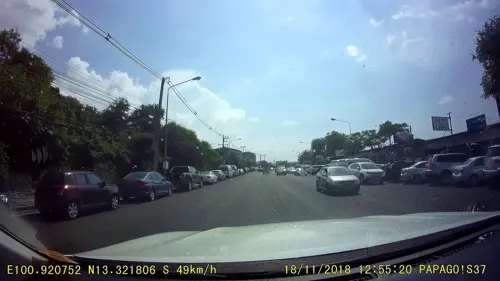
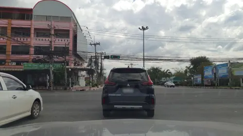
Photos of Ban Ang Sila


Museums and landmarks1
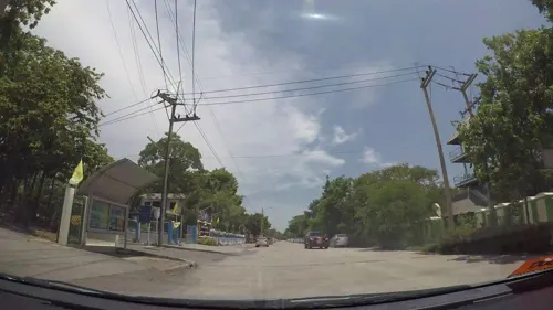
Parks, trails and playgrounds3

Restaurants and cafes37
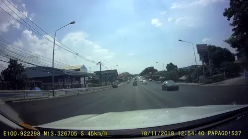
เด็ดดด
Restaurant · International, Coffee Shop, Regional, Thai, Seafood, Steak House, Fish And Chips · 1.7 km
20/11 หมู่5 แยกอ่างศิลา - เขาสามมุข, ชลบุรี
Mo-Su 11:00-23:00
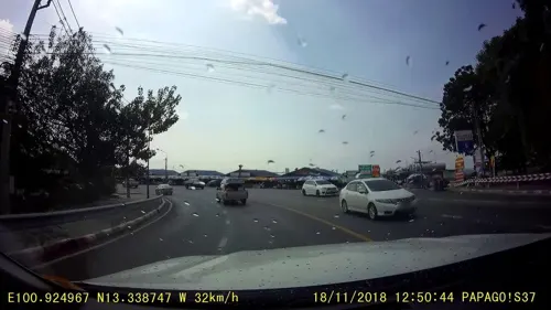
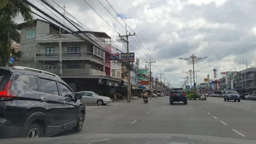
Reborn Chonburi
Restaurant · Thai · 2.4 km
ซอยนารถมนตเสวี 4
07:30-20:30; Fr off
Malila Cafe
Cafe · 2.1 km
17/2 ม.5 ถนนอ่างศิลา-บางแสน, Chonburi
7:30 - 17:00

25 more on the map.
Where to stay2

Churches and places of worship8
Shopping2
Gas and EV charging1
Schools, colleges and libraries2
Healthcare1
Map of Ban Ang Sila
57 places. The map loads OpenStreetMap tiles when you open it.
Getting there and nearby towns
Suvarnabhumi Airport (BKK) is the nearest airport with scheduled flights listed in OpenStreetMap, 43 km away.
- Chon Buri 6 km northeast, about 6 min by car
- Si Racha 19 km south, about 19 min by car
- Chachoengsao 42 km north, about 42 min by car
- Lat Krabang 45 km north, about 45 min by car
- Pattaya 45 km south, about 45 min by car
- Samut Prakan 46 km northwest, about 46 min by car
- Bang Na 48 km northwest, about 48 min by car
- Suan Luang 53 km northwest, about 53 min by car
- Phra Khanong 54 km northwest, about 54 min by car
- Bangkok 65 km northwest, about 1 h by car
Drive times are estimates from straight-line distance, not routes.
Towns near Ban Ang Sila


Keep exploring
Local news
Headlines from INDB.
Reviews, tips and questions
Loading what members have shared...
Sources and licences
- GeoNames (CC BY 4.0): population, coordinates, regions and time zone
- Mapillary (see each image): photos
- OpenStreetMap contributors (ODbL 1.0): places, airports, map data
- Wikidata (CC0 1.0): elevation, founding date, time zone, website, landmarks and historic places
- Wikimedia Commons (see each image): photos
Photo credits
- ตึกมหาราช ตึกราชินีDSC 0023, Cat2you, CC BY-SA 4.0
- The Red Building Palace Chon buri Thailand, KOSIN SUKHUM, CC BY-SA 4.0
- ตึกมหาราช ตึกราชินีDSC 0541, Cat2you, CC BY-SA 4.0
- ตึกมหาราช ตึกราชินีDSC 5805, Cat2you, CC BY-SA 4.0
- ตึกมหาราช ตึกราชินีDSC 0557, Cat2you, CC BY-SA 4.0
- ตึกมหาราช ตึกราชินีDSC 0548, Cat2you, CC BY-SA 4.0
- ตึกมหาราช ตึกราชินีDSC 0053, Cat2you, CC BY-SA 4.0
- ตึกมหาราช ตึกราชินีDSC 0556, Cat2you, CC BY-SA 4.0
- ตึกมหาราช ตึกราชินีDSC 0017, Cat2you, CC BY-SA 4.0
- ตึกมหาราช ตึกราชินีDSC 0564, Cat2you, CC BY-SA 4.0
- ตึกมหาราช ตึกราชินีDSC 0005, Cat2you, CC BY-SA 4.0
- ตึกมหาราช ตึกราชินีDSC 0024, Cat2you, CC BY-SA 4.0
- ตึกมหาราช ตึกราชินีDSC 0530, Cat2you, CC BY-SA 4.0
- ตึกมหาราช ตึกราชินีDSC 0040, Cat2you, CC BY-SA 4.0
- ตึกมหาราช ตึกราชินีDSC 5806, Cat2you, CC BY-SA 4.0
- ตึกมหาราช ตึกราชินีDSC 0552, Cat2you, CC BY-SA 4.0
- ตึกมหาราช ตึกราชินีDSC 0553, Cat2you, CC BY-SA 4.0
- ตึกมหาราช ตึกราชินีDSC 0543, Cat2you, CC BY-SA 4.0
- ตึกมหาราช ตึกราชินีDSC 0009, Cat2you, CC BY-SA 4.0
- ตึกมหาราช ตึกราชินีDSC 0540, Cat2you, CC BY-SA 4.0
- ตึกมหาราช ตึกราชินีDSC 0048, Cat2you, CC BY-SA 4.0
- Wat Angsilanai, Teerayut, CC BY-SA 4.0
- ตึกมหาราช ตึกราชินีDSC 0533, Cat2you, CC BY-SA 4.0
- ตึกมหาราช ตึกราชินีDSC 0054, Cat2you, CC BY-SA 4.0
- ตึกมหาราช ตึกราชินีDSC 0057, Cat2you, CC BY-SA 4.0
- ตึกมหาราช ตึกราชินีDSC 0542, Cat2you, CC BY-SA 4.0
- ตึกมหาราช ตึกราชินีDSC 0555, Cat2you, CC BY-SA 4.0
- ตึกมหาราช ตึกราชินีDSC 0539, Cat2you, CC BY-SA 4.0
- ตึกมหาราช ตึกราชินีDSC 0025, Cat2you, CC BY-SA 4.0
- ตึกมหาราช ตึกราชินีDSC 0550, Cat2you, CC BY-SA 4.0
- ตึกมหาราช ตึกราชินีDSC 5745, Cat2you, CC BY-SA 4.0
- ตึกมหาราช ตึกราชินีDSC 0554, Cat2you, CC BY-SA 4.0
- ตึกมหาราช ตึกราชินีDSC 5746, Cat2you, CC BY-SA 4.0
- ตึกมหาราช ตึกราชินีDSC 0551, Cat2you, CC BY-SA 4.0
- ตึกมหาราช ตึกราชินีDSC 5807, Cat2you, CC BY-SA 4.0
- ตึกมหาราช ตึกราชินีDSC 0035, Cat2you, CC BY-SA 4.0
- ตึกมหาราช ตึกราชินีDSC 0011, Cat2you, CC BY-SA 4.0
- ตึกมหาราช ตึกราชินีDSC 0549, Cat2you, CC BY-SA 4.0
- ตึกมหาราช ตึกราชินีDSC 0038, Cat2you, CC BY-SA 4.0
- ตึกมหาราช ตึกราชินีDSC 0010, Cat2you, CC BY-SA 4.0
- Street-level photo, rusmanoon, CC BY-SA 4.0
- Street-level photo, rusmanoon, CC BY-SA 4.0
- Street-level photo, jrcarlsen, CC BY-SA 4.0
- Street-level photo, cchingch, CC BY-SA 4.0
- Street-level photo, rusmanoon, CC BY-SA 4.0
- Street-level photo, rusmanoon, CC BY-SA 4.0
- Street-level photo, rusmanoon, CC BY-SA 4.0
- Street-level photo, kaart_3, CC BY-SA 4.0
- Street-level photo, kaart_3, CC BY-SA 4.0
- Street-level photo, kaart_3, CC BY-SA 4.0
- Street-level photo, rusmanoon, CC BY-SA 4.0
- Street-level photo, jrcarlsen, CC BY-SA 4.0
- Street-level photo, rusmanoon, CC BY-SA 4.0
- Street-level photo, myppmy, CC BY-SA 4.0
- Street-level photo, rusmanoon, CC BY-SA 4.0
- Street-level photo, kaart_3, CC BY-SA 4.0
- Street-level photo, kaart_3, CC BY-SA 4.0
- Street-level photo, rusmanoon, CC BY-SA 4.0
- Street-level photo, rusmanoon, CC BY-SA 4.0
- Street-level photo, rusmanoon, CC BY-SA 4.0
- Street-level photo, rusmanoon, CC BY-SA 4.0
- Street-level photo, rusmanoon, CC BY-SA 4.0
- Street-level photo, ratirat, CC BY-SA 4.0


Page built November 10, 2026. Spotted a mistake? Tell us or suggest a place.