


Ban Khlong Prawet, Thailand
Ban Khlong Prawet is a city of 160,671 people in Bangkok, Thailand.
Why visit Ban Khlong Prawet
Townapedia lists 2 museums and landmarks, 7 parks and trails, 22 places to eat and 1 place to stay in and around town.
Highlights include Prasart Museum, Suan Luang Rama IX and Metro Forest.
Weather in Ban Khlong Prawet
Forecast from MET Norway (CC BY 4.0). Full forecast
Photos of Ban Khlong Prawet


Museums and landmarks2

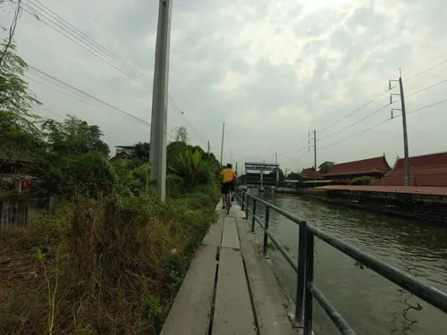
Parks, trails and playgrounds7


Restaurants and cafes22
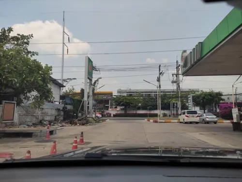
MD-82 Airline cafe
Cafe · Coffee Shop, Tea, Thai · 1.1 km
324 ถนนอ่อนนุช
Mo-Su 12:00-23:00
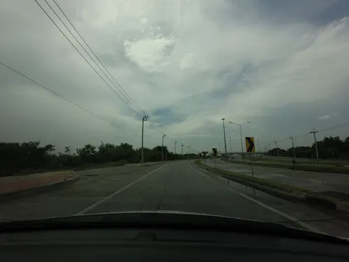
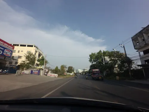

ตั้งโต๊ะ หมูกะทะสาขาประเวศ
Restaurant · หมูกะทะ, ปิ้งย่าง · 1.8 km
Cj หลัง สน ดอกไม้ ถนนเฉลิมพระเกียรติ ร.9

10 more on the map.
Where to stay1
Churches and places of worship4
Wat Kaewpithak Charoentham
Place of worship · Thai Thammayut · 2.0 km
Shopping5
Gas and EV charging5
Schools, colleges and libraries3
Healthcare2
Map of Ban Khlong Prawet
51 places. The map loads OpenStreetMap tiles when you open it.
Getting there and nearby towns
Suvarnabhumi Airport (BKK) is the nearest airport with scheduled flights listed in OpenStreetMap, 9 km away.
- Samut Prakan 16 km southwest, about 16 min by car
- Bangkok 20 km west, about 20 min by car
- Dusit 19 km west, about 19 min by car
- Thon Buri 21 km west, about 21 min by car
- Bangkok Noi 23 km west, about 23 min by car
- Mueang Nonthaburi 24 km northwest, about 24 min by car
- Nong Chok 25 km northeast, about 25 min by car
- Taling Chan 25 km west, about 25 min by car
- Phasi Charoen 26 km west, about 26 min by car
- Pak Kret 29 km northwest, about 29 min by car
Drive times are estimates from straight-line distance, not routes.
Towns near Ban Khlong Prawet


Keep exploring
Local news
Headlines from INDB.
Reviews, tips and questions
Loading what members have shared...
Sources and licences
- GeoNames (CC BY 4.0): population, coordinates, regions and time zone
- Mapillary (see each image): photos
- OpenStreetMap contributors (ODbL 1.0): places, airports, map data
- Wikidata (CC0 1.0): elevation, founding date, time zone, website, landmarks and historic places
- Wikimedia Commons (see each image): photos
Photo credits
- Prasart Museum palms, Flickr user: scott.zona Miami https://www.flickr.com/people/scottzona/, CC BY 2.0
- Rajamangala hall, Rama 9 Park (cropped), Supanut Arunoprayote, CC BY 4.0
- Campus entrance (Stamford International University, Hua Hin campus, Thailand - January 23 2009), MiCRoSCoPiC^eaRthLinG ( talk ) ( Uploads ), CC BY-SA 3.0
- 202402 Airport Link Inbound Platform of Ban Thap Chang Station, MNXANL, CC BY-SA 4.0
- Steak สเต็ก, Hippietrail, CC BY-SA 4.0
- แยก โรงแม๊คยีนส์ - panoramio, ::::=UT=::::, CC BY-SA 3.0
- รพ.สิรินธร - panoramio (3), ::::=UT=::::, CC BY-SA 3.0
- 3 แยก ตรงโรงงานแม็คยีนส์ - panoramio, ::::=UT=::::, CC BY-SA 3.0
- ถนนวงแหวนตะวันออก - panoramio, ::::=UT=::::, CC BY-SA 3.0
- ถนนคู่ขนานวงแหวนตะวันออก - panoramio, ::::=UT=::::, CC BY-SA 3.0
- พื้นที่ชุ่มน้ำ(Bangkok Wetland) - panoramio, ::::=UT=::::, CC BY-SA 3.0
- Street-level photo, kasetitkml_pipitchai, CC BY-SA 4.0
- Street-level photo, ozflor, CC BY-SA 4.0
- Street-level photo, mishari, CC BY-SA 4.0
- Street-level photo, mishari, CC BY-SA 4.0
- Street-level photo, mishari, CC BY-SA 4.0
- Street-level photo, kasetitkml_pipitchai, CC BY-SA 4.0
- Street-level photo, kasetitkml_pipitchai, CC BY-SA 4.0
- Street-level photo, ThailandCambodia, CC BY-SA 4.0
- Street-level photo, ozflor, CC BY-SA 4.0
- Street-level photo, mishari, CC BY-SA 4.0
- Street-level photo, kasetitkml_pipitchai, CC BY-SA 4.0


Page built November 10, 2026. Spotted a mistake? Tell us or suggest a place.