


Why visit Ban Tak
Townapedia lists 3 museums and landmarks, 9 places to eat, 5 places to stay and 1 attraction in and around town.
Weather in Ban Tak
Forecast from MET Norway (CC BY 4.0). Full forecast
About Ban Tak
Ban Tak (Thai: บ้านตาก, pronounced [bâːn tàːk]) is a district (amphoe) in the northern part of Tak province, western Thailand.
From the Wikipedia article Ban Tak district (this version), under CC BY-SA 4.0.
Photos of Ban Tak


Things to do1

Museums and landmarks3

The longest petrified wood in the world (Mai Tak 69.70m)
Monument and historic site · 3.0 km

Restaurants and cafes9
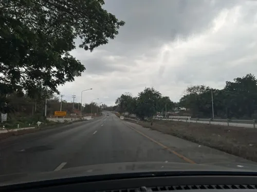
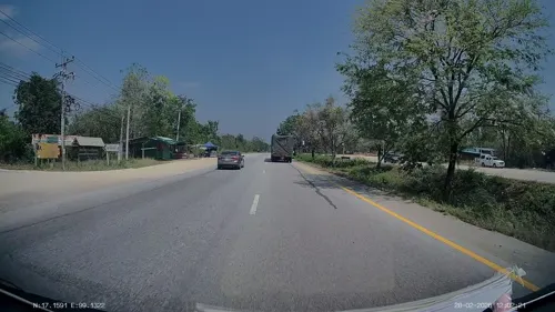

ร้านน้าหนวดข้าวเหนียวหมูทอด
Restaurant · Thai, ข้าวเหนียวหมูทอด, หมูทิดกระเทียม, หมูฝอย, หมูหวาน, หมูเค็ม, หมูยอ, ยำหมูแซ่บ, ลาบหมู, แหนมผัดไข่ · 2.6 km
1 164 ถนนทางหลวงหมายเลข 1107
06:00-12:00

Where to stay5

History
The area of Ban Tak is the old location of Mueang Tak. It was an ancient frontier city, on the west bank of the Ping River in Ban Tha Phra That, Tambon Ko Taphao. King Maha Thammaracha of Ayutthaya moved the center of Mueang Tak to its present site in Tambon Pa Mamuang at the end of the 16th century.
The current district office of Ban Tak is at Ban Tak Ok, Tambon Tak Ok, on the west side of Phahonyothin Highway.
From the History section of Ban Tak district on Wikipedia, under CC BY-SA 4.0.
More about Ban Tak
Geography
Neighboring districts are (south from clockwise): Mueang Tak, Mae Ramat, Sam Ngao of Tak Province, Thoen of Lampang province and Ban Dan Lan Hoi of Sukhothai province.
The southwest end of the Phi Pan Nam Range reaches the eastern end of the district.
The important water resources of the district are the Ping and Wang rivers.
From the Wikipedia article Ban Tak district, under CC BY-SA 4.0.
Churches and places of worship6
Gas and EV charging10
Schools, colleges and libraries25
Healthcare1
Map of Ban Tak
60 places. The map loads OpenStreetMap tiles when you open it.
Getting there and nearby towns
Tak Airport (TKT) is the nearest airport with scheduled flights listed in OpenStreetMap, 24 km away.
- Ban Wang Man 18 km north, about 18 min by car
- Tak 20 km south, about 20 min by car
- Ban Dan Lan Hoi 53 km east, about 53 min by car
- Mae Ramat 60 km west, about 1 h by car
- Thoen 65 km north, about 1 h by car
- Mae Sot 66 km southwest, about 1 h by car
- Ban Na 69 km east, about 1 h 15 min by car
- Kamphaeng Phet 78 km southeast, about 1 h 15 min by car
- Sukhothai 79 km east, about 1 h 15 min by car
- Khiri Mat 80 km east, about 1 h 15 min by car
Drive times are estimates from straight-line distance, not routes.
Towns near Ban Tak


Keep exploring
Local news
Headlines from INDB.
Reviews, tips and questions
Loading what members have shared...
Sources and licences
- GeoNames (CC BY 4.0): population, coordinates, regions and time zone
- Mapillary (see each image): photos
- OpenStreetMap contributors (ODbL 1.0): places, airports, map data
- Wikidata (CC0 1.0): elevation, founding date, time zone, website
- Wikimedia Commons (see each image): photos
- Wikipedia (CC BY-SA 4.0): overview and history text
Photo credits
- Bug on mango tree, PumpkinSky, CC BY-SA 4.0
- Young mango fruits in Tak Province, PumpkinSky, CC BY-SA 4.0
- Wat Phra Borom Thad Bantak 13, PumpkinSky, CC BY-SA 4.0
- Wat Phra Borom Thad Bantak 15, PumpkinSky, CC BY-SA 4.0
- ISS031-E-145277 - View of Earth, Earth Science and Remote Sensing Unit , Lyndon B. Johnson Space Center, Public domain
- ISS053-E-404146 - View of Earth, Earth Science and Remote Sensing Unit, NASA Johnson Space Center, Public domain
- ISS053-E-420168 - View of Earth, Earth Science and Remote Sensing Unit, NASA Johnson Space Center, Public domain
- ISS053-E-420167 - View of Earth, Earth Science and Remote Sensing Unit, NASA Johnson Space Center, Public domain
- ISS053-E-404147 - View of Earth, Earth Science and Remote Sensing Unit, NASA Johnson Space Center, Public domain
- ISS034-E-26856 - View of Earth, Earth Science and Remote Sensing Unit , Lyndon B. Johnson Space Center, Public domain
- ISS031-E-145276 - View of Earth, Earth Science and Remote Sensing Unit , Lyndon B. Johnson Space Center, Public domain
- Wat chana songkhram 1, Allazad, CC BY-SA 4.0
- Wat chana songkhram 2, Allazad, CC BY-SA 4.0
- Street-level photo, lin_wang, CC BY-SA 4.0
- Street-level photo, ThailandCambodia, CC BY-SA 4.0
- Street-level photo, lin_wang, CC BY-SA 4.0
- Street-level photo, ThailandCambodia, CC BY-SA 4.0
- Street-level photo, ThailandCambodia, CC BY-SA 4.0
- Street-level photo, ThailandCambodia, CC BY-SA 4.0
- Street-level photo, ThailandCambodia, CC BY-SA 4.0
Page built November 10, 2026. Spotted a mistake? Tell us or suggest a place.