


Khan Na Yao, Thailand
เขตคันนายาว
Khan Na Yao is a town of 88,678 people in Bangkok, Thailand, founded in November 21, 1997.
Why visit Khan Na Yao
Townapedia lists 10 museums and landmarks, 26 parks and trails, 189 places to eat, 4 places to stay and 4 attractions in and around town.
Highlights include Happyland, Siam Park City, Kwan Roam Floating Market (revised) and Kwan-Riam Floating Market.
Weather in Khan Na Yao
Forecast from MET Norway (CC BY 4.0). Full forecast
About Khan Na Yao
Khan Na Yao (Thai: คันนายาว, pronounced [kʰān nāː jāːw]) is one of the 50 districts (khet) of Bangkok, Thailand. It is bounded by other Bangkok districts (from north clockwise): Bang Khen, Khlong Sam Wa, Min Buri, Saphan Sung, and Bueng Kum. The district is most notable for Fashion Island & The Promenade shopping malls (served by Outer Ring Road - Ram Inthra MRT station on the Pink Line) and Siam Amazing Park amusement park.
From the Wikipedia article Khan Na Yao district (this version), under CC BY-SA 4.0.
Photos of Khan Na Yao


Things to do4

Happyland
Monument and historic site · 6.5 km
Former amusement park in Bangkok, Thailand
Siam Park City
Monument and historic site · 3.1 km
Amusement and water park in the Khan Na Yao District of Bangkok, Thailand

Museums and landmarks10
Kwan Roam Floating Market (revised)
Monument and historic site · 4.5 km
soi 187 ถนนรามคำแหง
Sa-Su 06:00-20:00
Kwan-Riam Floating Market
Monument and historic site · 4.5 km
ฃอย187 soi 187 ถนนรามคำแหง
Sa-Su 06:00-20:00

Parks, trails and playgrounds26


Safari World
Park · 5.2 km
Tourist attraction in Bangkok that consists of two parks named Marine Park and Safari Park

Chocolate Ville
Sports field and stadium · 2.1 km
Mo-Th 15:00-23:00; Fr-Su, PH 14:00-24:00



14 more on the map.
Restaurants and cafes189
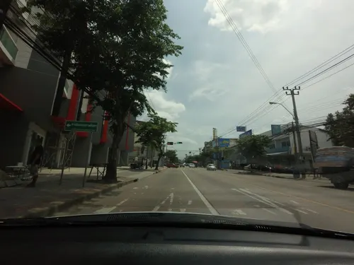
บ้านนิค
Restaurant · Thai, อาหารเช้า, กาแฟ, โจ๊ก, ไข่กระทะ, นมถั่วเหลือง, ขนมปังปิ้ง · 2.5 km
7 ซอยคู้บอน 5 ถนน คู้บอน, กรุงเทพมหานคร
Mo-Su 06:00-21:00
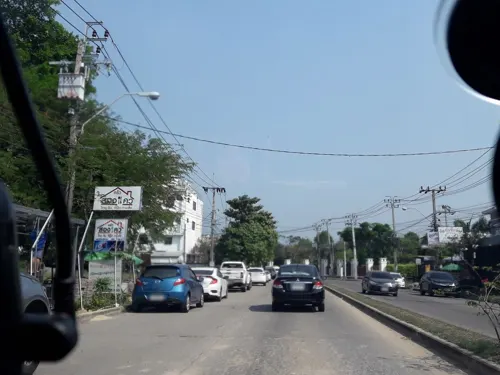
ร้านยโสธรแซ่บนัว เจ๊เก๋ - ถนนปัญญาอินทรา คลองสามวา
Restaurant · Thai, อาหารอีสาน, Regional · 4.4 km
209 ถนนปัญญาอินทรา
Mo-Su 10:30-23:00
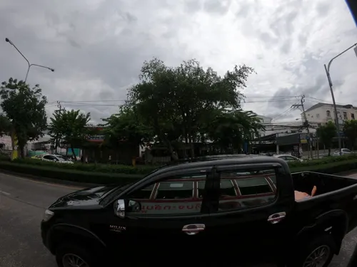
ก๋วยเตี๋ยวอาโกรสเด็ด
Restaurant · Noodle · 4.3 km
75/6 ซอยนวมินทร์ 52, กรุงเทพมหานคร
จันทร์ - ศุกร์ 7.00 - 15.00
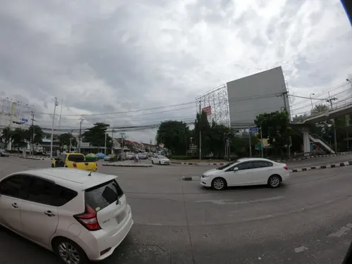
Nawamin
Restaurant · 4.1 km
18/2 ถนนนวมินทร์, แขวงนวมินทร์
Mo-Su 10:00-22:00

1PEN Cafe and Co
Cafe · Coffee Shop, Thai, Cake, Dessert · 1.2 km
121/211 ซอยรามอินทรา 60 หมู่บ้านชื่นกมล เขตคันนายาว
Mo-Su 07:30-18:00
EP.1 COFFEE & ROASTERY
Cafe · Coffee Shop · 3.8 km
222 ถนนคลองลำเจียก, แขวงนวลจันทร์
Mo-Sa 08:00-18:00


De'rish homemade bakery
Bakery · 3.3 km
58:69 khunon
Mo-Su 09:00-21:00
177 more on the map.
History
Khan Na Yao was separated from Bueng Kum on 14 October 1997 announcement, effective 21 November 1997, together with Saphan Sung.
Its name means "long paddy-field ridge", describing the geography of the district in the past; Khan Na Yao was an agricultural district. Until now, the rice fields and its ridges are long gone; they are part of the present-day Seri Thai road.
From the History section of Khan Na Yao district on Wikipedia, under CC BY-SA 4.0.
Where to stay4
Churches and places of worship16
Shopping46
Gas and EV charging26
PTT Station ปตท.พระยาสุเรนทร์ (น้ำมัน+EV) พีโอออยล์ สาขา23
Gas station · 4.7 km
ถนนพระยาสุเรนทร์
Schools, colleges and libraries25
Healthcare27
physiary clinic คลินิกเฉพาะทางเวชศาสตร์ฟื้นฟู
Clinic and pharmacy · 4.4 km
15/228 ซอยรามอินทรา 40
The sunrises wellness and polyclinics
Clinic and pharmacy · 4.3 km
456/1 ซอยนวลจันทร์ 48
Map of Khan Na Yao
250 places. The map loads OpenStreetMap tiles when you open it.
Getting there and nearby towns
Don Mueang International Airport (DMK) is the nearest airport with scheduled flights listed in OpenStreetMap, 13 km away.
- Bueng Kum 5 km south, about 5 min by car
- Bang Kapi 7 km southwest, about 7 min by car
- Lat Phrao 8 km west, about 8 min by car
- Khlong Sam Wa 8 km northeast, about 8 min by car
- Wang Thonglang 8 km southwest, about 8 min by car
- Sai Mai 11 km north, about 11 min by car
- Suan Luang 11 km south, about 11 min by car
- Din Daeng 12 km west, about 12 min by car
- Chatuchak 13 km west, about 13 min by car
- Lak Si 13 km northwest, about 13 min by car
Drive times are estimates from straight-line distance, not routes.
Towns near Khan Na Yao


Keep exploring
Local news
Headlines from INDB.
Reviews, tips and questions
Loading what members have shared...
Sources and licences
- GeoNames (CC BY 4.0): population, coordinates, regions and time zone
- Mapillary (see each image): photos
- OpenStreetMap contributors (ODbL 1.0): places, airports, map data
- Wikidata (CC0 1.0): elevation, founding date, time zone, website, landmarks and historic places
- Wikimedia Commons (see each image): photos
- Wikipedia (CC BY-SA 4.0): overview and history text
Photo credits
- Safari World, Lerdsuwa, CC BY-SA 3.0
- Fashion Island, Sry85, CC BY-SA 4.0
- ฟู้ดแลนด์ สาขาจรัญสนิทวงศ์, Dharmadana, CC BY-SA 4.0
- วัดนวลจันทร์ (กรุงเทพมหานคร) 01, Dharmadana, CC BY-SA 4.0
- วัดบางเพ็งใต้ 02, Dharmadana, CC BY-SA 4.0
- วัดบำเพ็ญเหนือ 04, Dharmadana, CC BY-SA 4.0
- วัดราษฎร์ศรัทธาธรรม เขตคันนายาว กรุงเทพมหานคร (21), กสิณธร ราชโอรส, CC BY-SA 4.0
- Fashion Island,Bangkok (74), กสิณธร ราชโอรส, CC BY-SA 4.0
- สะพานเสรีไทย3, Phoebus 28, CC BY-SA 4.0
- วัดบำเพ็ญเหนือ 02, Dharmadana, CC BY-SA 4.0
- (2024) วัดสัมมาชัญญาวาส เขตคลองสามวา กรุงเทพมหานคร Wat Samma Chanyawat,Khlong Sam Wa,Bangkok (8), กสิณธร ราชโอรส, CC BY-SA 4.0
- Fashion Island,Bangkok (5), กสิณธร ราชโอรส, CC BY-SA 4.0
- Honey toast (24016954558), NuCastiel from Bangkok, Thailand, CC BY 2.0
- สถานีวงแหวนรามอินทรา, Maprangsriwutchai, CC BY 4.0
- Cha Thai Bingsu or (Bingsu Thai milk tea) (39921385751), NuCastiel from Bangkok, Thailand, CC BY 2.0
- Fashion Island,Bangkok (6), กสิณธร ราชโอรส, CC BY-SA 4.0
- Fashion Island,Bangkok (7), กสิณธร ราชโอรส, CC BY-SA 4.0
- ศูนย์การค้า เดอะ พรอมานาด เขตคันนายาว กรุงเทพมหานคร (1), กสิณธร ราชโอรส, CC BY-SA 4.0
- Fashion Island,Bangkok (2), กสิณธร ราชโอรส, CC BY-SA 4.0
- Fashion Island,Bangkok (1), กสิณธร ราชโอรส, CC BY-SA 4.0
- Fashion Island,Bangkok (4), กสิณธร ราชโอรส, CC BY-SA 4.0
- Salmon Sashimi (38284471226), NuCastiel from Bangkok, Thailand, CC BY 2.0
- Salmon Kabutoni (39176055974), NuCastiel from Bangkok, Thailand, CC BY 2.0
- Foie Gras Sushi (39960415781), NuCastiel from Bangkok, Thailand, CC BY 2.0
- สวนสนุกตรงข้ามแฟชั่น (Fun park) - panoramio, ::::=UT=::::, CC BY-SA 3.0
- -i---i- (30651918441), Thomas Woodtli from Zürich, Switzerland, CC BY-SA 2.0
- Wat, Wichien W, CC0
- City Light Night, Wichien W, CC0
- Nice View In Bangkok, Wichien W, CC0
- Garden In The Sky, Wichien W, CC0
- Nice View In Bangkok 2, Wichien W, CC0
- Bangkok View, Wichien W, CC0
- Wp5, Wichien W, CC0
- Star View, Wichien W, CC0
- Wp6, Wichien W, CC0
- Motorway 9 Klong kum Interchange 2019, LoveTripSpotting, CC BY-SA 4.0
- Serithai Cycling Club - panoramio (1), Thaweesak Churasri, CC BY 3.0
- Serithai Cycling Club - panoramio, Thaweesak Churasri, CC BY 3.0
- Panorama view - panoramio (1), Thaweesak Churasri, CC BY 3.0
- Macaroni goreng, Vee Satayamas, CC BY 2.0
- Chocolate Ville European style restaurant - panoramio, Thaweesak Churasri, CC BY 3.0
- Street-level photo, mishari, CC BY-SA 4.0
- Street-level photo, jetman11, CC BY-SA 4.0
- Street-level photo, ozflor, CC BY-SA 4.0
- Street-level photo, ozflor, CC BY-SA 4.0
- Street-level photo, ozflor, CC BY-SA 4.0
- Street-level photo, ThailandCambodia, CC BY-SA 4.0
- Street-level photo, rusmanoon, CC BY-SA 4.0
- Street-level photo, rusmanoon, CC BY-SA 4.0


Page built November 10, 2026. Spotted a mistake? Tell us or suggest a place.