


Lop Buri, Thailand
เทศบาลเมืองลพบุรี
Lop Buri is a regional capital of 57,761 people in Lopburi, Thailand.
Why visit Lop Buri
Townapedia lists 3 museums and landmarks, 6 parks and trails, 8 places to eat, 4 places to stay and 1 attraction in and around town.
Highlights include Lopburi Zoo and Phra Ramesuan Stadium.
Weather in Lop Buri
Forecast from MET Norway (CC BY 4.0). Full forecast
About Lop Buri
Lopburi (Thai: ลพบุรี, RTGS: Lop Buri, pronounced [lóp bū.rīː]) is the capital city of Lopburi Province in Thailand, about 150 km (93 mi) northeast of Bangkok. The town (thesaban mueang) covers the whole of tambon Tha Hin and part of Thale Chup Son in Mueang Lopburi District, an area of 6.85 km2 (2.64 sq mi), and has a population of 58,000. It is known for the long-tailed macaques that live around its Khmer monuments, and the Royal Thai Army Special Warfare Command is based just outside it.
From the Wikipedia article Lopburi (this version), under CC BY-SA 4.0.
Travel tips from other travellers: Lop Buri on Wikivoyage (CC BY-SA 4.0).
Photos of Lop Buri


Things to do1

Museums and landmarks3

Parks, trails and playgrounds6

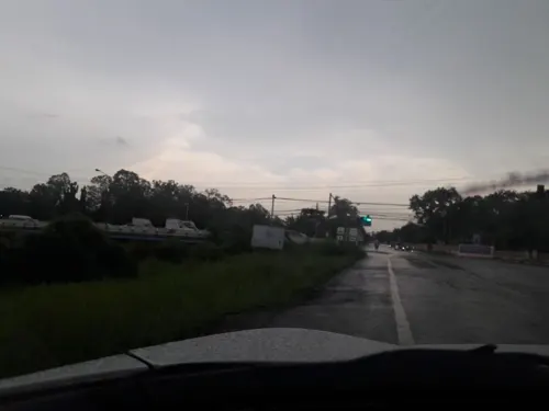
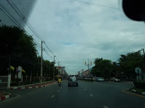

Phra Ramesuan Stadium
Park · 0.7 km
สนามกีฬากลางจังหวัดลพบุรี นารายณ์มหาราช, ทะเลชุบศร
Mo-Su 05:00-20:00
Restaurants and cafes8
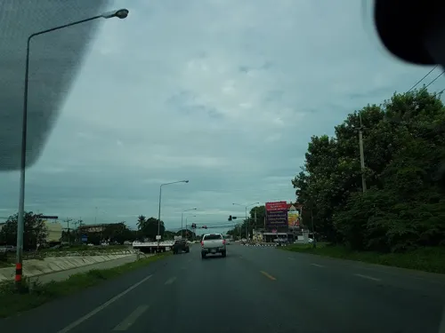
U Salad Cafe
Restaurant · 2.0 km
Salads and fresh squeezed juices and Fire Bear milk teas
Mo, We-Su 10:00-20:00
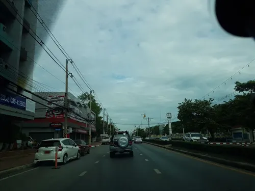

Mudmee
Restaurant · Thai · 1.2 km
8/18
Mo 11:00-19:00; Tu-Su 11:00-21:00


History
Several flaked stone tools were discovered in Ban Mi district, dated to the Paleolithic Age, in 1931.
A number of tools, human burial sites and bronze accessories of the Iron Age were found in the Lop Buri river basin in 1964.
Bracelets and beads dated 2700–3500 years old were revealed at Ban Khok Charoen in 1966–1970.
Prehistoric human skeletons and clay jugs were found in Ban Tha Kae in 1979.
A copper source was discovered in Khao Wong Phrachan in 1986–1994.
Ground inspection at Ban Tha Kae by Ciarla in 1992 found traces of moats that aerial photography had missed; the site had by then been largely destroyed by quarrying for caliche.
Read more of the history
The city has a history dating back to the Dvaravati period more than 1,000 years ago. Karen Mudar's locational study of the moated settlements of the central plain gives the enclosure at Lopburi 137.5 ha and ranks it a regional centre, the second of four administrative levels; the region she assigns to it holds fourteen moated settlements, more than any of the other six. It also has the widest span of control in her sample, the capital's area standing to the summed area of the settlements under it at about one to four against about one to one west and north of the bay, a difference she attributed to different ways of raising grain rather than to different degrees of authority. Between Lopburi and the regional centre at Pra Rot lies a gap of 130 km, and halfway along it the settlement of Utapao, which grew from 15.3 to 83 ha; Mudar suggested it may have been a regional centre in its own right that was later absorbed, and that dating its moat expansion against the growth of the two capitals would settle the question. Epigraphic evidence indicates that the dominant population of the city was Mon. Baker and Pasuk enter a caution about the site itself, holding Lopburi to be probably the Lavapura of the inscriptions but its early form obscured by later building.
The chronicle tradition gives the town a foundation in the seventh century. According to the Northern Chronicles, Lavo was founded by Phraya Kalavarnadishraj, who came from Takkasila in 648 CE. Thai records make his father Phraya Kakabatr, also of Takkasila, which has been taken to be either Tak or Nakhon Chai Si, the setter of the Chula Sakarat era in 638 CE, which the Siamese and the Burmese used until the 19th century; the son is said to have founded the city a decade later.
Lavapura became one of the most important centres in the Chao Phraya basin. Inscriptions record that it was incorporated into the administrative structure of the Khmer Empire during the reign of Suryavarman I, which gave the empire access to the trade passing through the Kra Isthmus. There is some evidence that the empire under Suryavarman II fought the Mon over suzerainty in the 12th century. Lopburi sent embassies to China in 1115 and 1155. Baker and Pasuk set out the reading those missions have been given, that Lavo was under Angkorian control from the 10th to the 13th centuries but sent missions of its own whenever Angkor was occupied with succession disputes, and finally broke free before 1289; they judge it more likely that the relationship was always somewhat flexible.
After the foundation of the Ayutthaya Kingdom in the 14th century, Lopburi was a stronghold of Ayutthaya's rulers. It became the capital of the kingdom during the reign of King Narai the Great in the mid-17th century, and the king resided there about eight months a year.
From the History section of Lopburi on Wikipedia, under CC BY-SA 4.0.
More about Lop Buri
Geography
Lopburi lies on the Lopburi River at an elevation of 20 metres (66 ft) mostly surrounded by alluvial plains, although some hills rise to between 300 metres (980 ft) and 600 metres (2,000 ft) to the north-east.
From the Wikipedia article Lopburi, under CC BY-SA 4.0.
Notable people from Lop Buri
 Thongchai JaideeThai professional golferPhoto: Cyrille Bertin, CC BY-SA 3.0
 Jadet MeelarpThai football managerPhoto: El_Loko für www.thai-fussball.com, CC BY 4.0
- Chalermpong KerdkaewThai footballer
- Chanapach BuaphanThai footballer (2004-)
- PajonsukThai kickboxer
- Peeratat PhoruendeeThai footballer
- Tawan KedkongThai model (born 1995)
- Udomsilp SornbutnarkThai association football player
- Tanakorn DangthongThai footballer
- Sompote SuwannarangsriThai athletics competitor (born 1985)
- Siriporn ThaweesukThai boxer
- Prachya Hong-InThai footballer
Born in Lop Buri, according to Wikidata (CC0). Each name links to its Wikipedia article.
Where to stay4
Pannara
Motel and hotel · 2.3 km
188 Kunklongchonpratan, Thalaychupsorn, Lopburi City Center, Lopburi, Thailand 15000
Churches and places of worship1
Shopping3
Gas and EV charging2
Schools, colleges and libraries1
Healthcare2
Map of Lop Buri
31 places. The map loads OpenStreetMap tiles when you open it.
Getting there and nearby towns
Khok Kathiam Airforce Base (KKM) is the nearest airport with scheduled flights listed in OpenStreetMap, 9 km away.
- Phra Phutthabat 17 km southeast, about 17 min by car
- Ban Mo 22 km south, about 22 min by car
- Chaiyo 24 km southwest, about 24 min by car
- Tha Ruea 27 km south, about 27 min by car
- Ban Thai Tan 27 km southwest, about 27 min by car
- Sing Buri 29 km west, about 29 min by car
- Pho Thong 30 km southwest, about 30 min by car
- Saraburi 41 km southeast, about 41 min by car
- Phra Nakhon Si Ayutthaya 50 km south, about 50 min by car
- Suphan Buri 68 km southwest, about 1 h 15 min by car
Drive times are estimates from straight-line distance, not routes.
Towns near Lop Buri


Keep exploring
Local news
Headlines from INDB.
Reviews, tips and questions
Loading what members have shared...
Sources and licences
- GeoNames (CC BY 4.0): population, coordinates, regions and time zone
- Mapillary (see each image): photos
- OpenStreetMap contributors (ODbL 1.0): places, airports, map data
- Wikidata (CC0 1.0): elevation, founding date, time zone, website
- Wikimedia Commons (see each image): photos
- Wikipedia (CC BY-SA 4.0): overview and history text
Photo credits
- Lopburi 01, Bjoertvedt, CC BY-SA 3.0
- ROYAL THAI ARMY - LOP BURI ZOO - panoramio, rudy.rijen Dav, CC BY-SA 3.0
- Banana and Egg Cafe in Lopburi, VN.NguyenDucDuy, CC BY-SA 4.0
- วงเวียนสระแก้ว แก้วแห่งเมืองลพบุรี, Wangwenhui, CC BY-SA 3.0
- วงเวียนสระแก้วเมืองลพบุรี, Wangwenhui, CC BY-SA 3.0
- วงเวียนสระแก้ว, Wangwenhui, CC BY-SA 3.0
- อำเภอเมืองลพบุรี Lopburi Zoo - panoramio, CHAMRAT CHAROENKHET, CC BY 3.0
- Lopburi Zoo - panoramio, CHAMRAT CHAROENKHET, CC BY 3.0
- พระที่นั่งไกรสรสีหราช (พระที่นั่งเย็น), สิริวุฒิ บุญทวี, CC BY-SA 4.0
- Kitchen in Lopburi - panoramio, Johnk996, CC BY 3.0
- สวนสัตย์ลพบุรี Lopburi Zoo - panoramio, CHAMRAT CHAROENKHET, CC BY 3.0
- Street-level photo, jetman11, CC BY-SA 4.0
- Street-level photo, jetman11, CC BY-SA 4.0
- Street-level photo, kasetitkml_pipitchai, CC BY-SA 4.0
- Street-level photo, kasetitkml_pipitchai, CC BY-SA 4.0
- Street-level photo, jetman11, CC BY-SA 4.0
- Street-level photo, jetman11, CC BY-SA 4.0
- Street-level photo, kirana, CC BY-SA 4.0
Page built November 10, 2026. Spotted a mistake? Tell us or suggest a place.