


Why visit Çayağzı
Townapedia lists 2 museums and landmarks, 2 parks and trails, 2 places to eat, 1 place to stay and 1 attraction in and around town.
Highlights include Anadolu Feneri, Riva Kalesi and Elmasburnu Tabiat Parkı.
Weather in Çayağzı
Forecast from MET Norway (CC BY 4.0). Full forecast
About Çayağzı
Riva (also called Çayağzı) is a neighbourhood in the municipality and district of Beykoz, Istanbul Province, Turkey. Its population is 2,885 (2022). This place is the filming location of the Turkish TV show hit called Diriliş: Ertuğrul and its sequel Kuruluş: Osman. It is a coastal village in the Anatolian part of Greater Istanbul, situated between Anadolu Feneri and Şile.
From the Wikipedia article Riva, Istanbul (this version), under CC BY-SA 4.0.
Things to do1

Museums and landmarks2


Parks, trails and playgrounds2


Restaurants and cafes2


Where to stay1
Churches and places of worship3
Shopping2
Schools, colleges and libraries1
Map of Çayağzı
14 places. The map loads OpenStreetMap tiles when you open it.
Getting there and nearby towns
Sabiha Gökçen International Airport (SAW) is the nearest airport with scheduled flights listed in OpenStreetMap, 38 km away.
- Rumelifeneri 9 km west, about 9 min by car
- Dereseki 11 km southwest, about 11 min by car
- Zekeriya 16 km west, about 16 min by car
- Uskumruköy 16 km west, about 16 min by car
- Ümraniye 24 km south, about 24 min by car
- Sancaktepe 25 km south, about 25 min by car
- Üsküdar 28 km southwest, about 28 min by car
- Istanbul 32 km southwest, about 32 min by car
- Fatih 32 km southwest, about 32 min by car
- Esenler 35 km southwest, about 35 min by car
Drive times are estimates from straight-line distance, not routes.
Local news
Headlines from INDB.
Reviews, tips and questions
Loading what members have shared...
Sources and licences
- GeoNames (CC BY 4.0): population, coordinates, regions and time zone
- Mapillary (see each image): photos
- OpenStreetMap contributors (ODbL 1.0): places, airports, map data
- Wikidata (CC0 1.0): elevation, founding date, time zone, website, landmarks and historic places
- Wikimedia Commons (see each image): photos
- Wikipedia (CC BY-SA 4.0): overview and history text
Photo credits
- Riva Kalesi içi 06, Justinianus, CC BY-SA 4.0
- Anadolu Feneri, Recep Cirik, CC BY-SA 3.0
- Riva Kalesi girişi 01, Justinianus, CC BY-SA 4.0
- ISS020-E-28054 - View of Turkey, Earth Science and Remote Sensing Unit , Lyndon B. Johnson Space Center, Public domain
- ISS040-E-22457 - View of Earth, Earth Science and Remote Sensing Unit , Lyndon B. Johnson Space Center, Public domain
- Arriving in Turkey - Flickr - brewbooks, brewbooks from near Seattle, USA, CC BY-SA 2.0
- Turkey - Flickr - brewbooks (1), brewbooks from near Seattle, USA, CC BY-SA 2.0
- Military near ruins of Anadolu kavagi kalesi - panoramio, el ui, CC BY 3.0
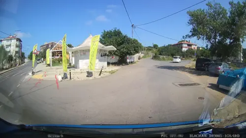
- Street-level photo, yercizenler, CC BY-SA 4.0
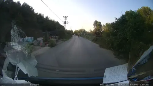
- Street-level photo, yercizenler, CC BY-SA 4.0
- Street-level photo, yercizenler, CC BY-SA 4.0
- Street-level photo, yercizenler, CC BY-SA 4.0


Page built November 8, 2026. Spotted a mistake? Tell us or suggest a place.