


Why visit Kumköy
Townapedia lists 4 museums and landmarks, 10 parks and trails, 5 places to eat, 2 places to stay and 2 attractions in and around town.
Highlights include Kilyos Kalesi.
Weather in Kumköy
Forecast from MET Norway (CC BY 4.0). Full forecast
About Kumköy
Kilyos, also Kumköy, is a neighbourhood in the municipality and district of Sarıyer, Istanbul Province, Turkey. Its population is 3,860 (2022). It is also a well-known seaside resort on the Black Sea coast of the European side of Istanbul Province, famous for its beaches.
From the Wikipedia article Kilyos (this version), under CC BY-SA 4.0.
Things to do2

Museums and landmarks4

Parks, trails and playgrounds10


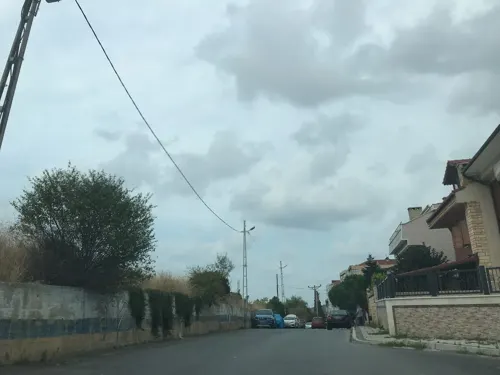
Restaurants and cafes5
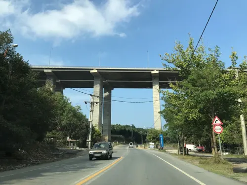
Brio İtalian İstanbul
Restaurant · Italian, Pizza, European · 2.4 km
322 Kilyos Caddesi, İstanbul
Mo-Su 12:00-24:00

Zuğa Beach & Restaurant
Restaurant · Regional, Fish, Breakfast · 1.1 km
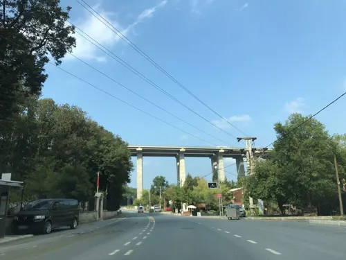



Where to stay2
Churches and places of worship3
Shopping3
Schools, colleges and libraries3
Healthcare3
Demirciköy Eczanesi
Clinic and pharmacy · 1.8 km
64/D Demirciköy Caddesi, İstanbul
Map of Kumköy
35 places. The map loads OpenStreetMap tiles when you open it.
Getting there and nearby towns
Istanbul Airport (IST) is the nearest airport with scheduled flights listed in OpenStreetMap, 24 km away.
- Uskumruköy 3 km southwest, about 3 min by car
- Zekeriya 5 km south, about 5 min by car
- Rumelifeneri 6 km east, about 6 min by car
- Üsküdar 25 km south, about 25 min by car
- Ümraniye 26 km south, about 26 min by car
- Esenler 26 km southwest, about 26 min by car
- Fatih 26 km south, about 26 min by car
- Arnavutköy 26 km west, about 26 min by car
- Istanbul 27 km south, about 27 min by car
- Bağcılar 28 km southwest, about 28 min by car
Drive times are estimates from straight-line distance, not routes.
Local news
Headlines from INDB.
Reviews, tips and questions
Loading what members have shared...
Sources and licences
- GeoNames (CC BY 4.0): population, coordinates, regions and time zone
- Mapillary (see each image): photos
- OpenStreetMap contributors (ODbL 1.0): places, airports, map data
- Wikidata (CC0 1.0): elevation, founding date, time zone, website
- Wikimedia Commons (see each image): photos
- Wikipedia (CC BY-SA 4.0): overview and history text
Photo credits
- TuerkeiKilyosSchwarzeMeer, Udoweier, CC BY-SA 4.0
- Kumköy Camii 2024-02-24 16.06.05 1791373973, Ali Osman Dilekoğlu, CC BY-SA 4.0
- Kumköy Çeşmesi IMG 0283, Ali Osman Dilekoğlu, CC BY-SA 4.0
- Kumköy Çeşmesi Kitabe, Ali Osman Dilekoğlu, CC BY-SA 4.0
- Kumköy Çeşmesi IMG 0292, Ali Osman Dilekoğlu, CC BY-SA 4.0
- Kumköy Namazgah, Sarıyer 2024-02-24 16.01.23 1791374062, Ali Osman Dilekoğlu, CC BY-SA 4.0
- Kumköy Camii 2024-02-24 16.05.19 1791373968, Ali Osman Dilekoğlu, CC BY-SA 4.0
- Turban Cd. No-39, 34450 Kumköy-Sarıyer-İstanbul, Turkey - panoramio, eleesege, CC BY 3.0
- Su Terazisi, Kilyos 3 2024-02-24 16.10.04 1791373822, Ali Osman Dilekoğlu, CC BY-SA 4.0
- Su Terazisi, Kilyos 3 2024-02-24 16.09.33 1791373819, Ali Osman Dilekoğlu, CC BY-SA 4.0
- Su Terazisi, Kilyos 3 12.10.2025-1, Özgür Arda BAYRAM, CC BY-SA 4.0
- Su Terazisi, Kilyos 3 12.10.2025-2, Özgür Arda BAYRAM, CC BY-SA 4.0
- Su Terazisi, Kilyos 3 12.10.2025-3, Özgür Arda BAYRAM, CC BY-SA 4.0
- Su Terazisi, Kilyos 2 2024-02-24 16.22.52 1791373667, Ali Osman Dilekoğlu, CC BY-SA 4.0
- Su Terazisi, Kilyos 2 2024-02-24 16.16.40 1791373664, Ali Osman Dilekoğlu, CC BY-SA 4.0
- Su Terazisi, Kilyos 2 2025-10-12 14-40-04, Özgür Arda BAYRAM, CC BY-SA 4.0
- Su Terazisi, Kilyos 2 2025-10-12 14-39-44, Özgür Arda BAYRAM, CC BY-SA 4.0
- Su Terazisi, Kilyos 2 2025-10-12 14-39-31, Özgür Arda BAYRAM, CC BY-SA 4.0
- Kylyos Beach on the Black Sea, Turkey - panoramio, eleesege, CC BY 3.0
- Su Terazisi, Kilyos 1 2025-10-12 14-47-33, Özgür Arda BAYRAM, CC BY-SA 4.0
- Su Terazisi, Kilyos 1 2025-10-12 14-47-18, Özgür Arda BAYRAM, CC BY-SA 4.0
- Su Terazisi, Kilyos 12025-10-12 14-48-13, Özgür Arda BAYRAM, CC BY-SA 4.0
- Su Terazisi, Kilyos 1 2025-10-12 14-46-53, Özgür Arda BAYRAM, CC BY-SA 4.0
- Su Terazisi, Kilyos 1 2024-02-24 16.19.44 1791373505, Ali Osman Dilekoğlu, CC BY-SA 4.0
- Su Terazisi, Kilyos 1 2024-02-24 16.19.26 1791373500, Ali Osman Dilekoğlu, CC BY-SA 4.0
- WFMD TURKEY2018, Fishmigration, CC BY-SA 4.0
- Hacı Nefis Hanım Çeşmesi Kitabe, Ali Osman Dilekoğlu, CC BY-SA 4.0
- Hacı Nefis Hanım Çeşmesi IMG 0276, Ali Osman Dilekoğlu, CC BY-SA 4.0
- Hacı Nefis Hanım Çeşmesi IMG 0273, Ali Osman Dilekoğlu, CC BY-SA 4.0
- Tırmata Beach - panoramio, Ersin Biçer, CC BY-SA 3.0
- Tırmata Beach - panoramio (1), Ersin Biçer, CC BY-SA 3.0
- Bridge3Istanbul, Elgaard, CC BY-SA 3.0
- Street-level photo, ferahkoksal, CC BY-SA 4.0
- Street-level photo, ferahkoksal, CC BY-SA 4.0
- Street-level photo, ferahkoksal, CC BY-SA 4.0
- Street-level photo, ferahkoksal, CC BY-SA 4.0
- Street-level photo, ferahkoksal, CC BY-SA 4.0
- Street-level photo, ferahkoksal, CC BY-SA 4.0
- Street-level photo, ferahkoksal, CC BY-SA 4.0


Page built November 8, 2026. Spotted a mistake? Tell us or suggest a place.