


Why visit Adendorf
Townapedia lists 51 museums and landmarks, 17 parks and trails, 127 places to eat, 13 places to stay and 9 attractions in and around town.
Highlights include Arche-Park Lüneburg, Biohofladen, Textilmuseum and East Prussian Regional Museum.
Weather in Adendorf
Forecast from MET Norway (CC BY 4.0). Full forecast
About Adendorf
Adendorf (Northern Low Saxon: Adendörp) is a municipality in the district of Lüneburg, in Lower Saxony, Germany.
From the Wikipedia article Adendorf (this version), under CC BY-SA 4.0.
Things to do9



Lüneburg Water Tower
Monument and historic site · 4.2 km
Tower in Lüneburg, Germany


Museums and landmarks51



Kunstraum of Lüneburg University
Museum · 6.5 km
Contemporary art gallery in Germany


Schiffshebewerk Scharnebeck
Monument and historic site · 3.5 km
Mittelerer Aussichtspunkt Schiffshebewerk Scharnebeck
24/7

Altes Kaufhaus
Monument and historic site · 3.8 km
Das alte Kaufhauses ist abgebrannt, nur die Fassade zur Lünertorstraße blieb erhalten. Heute ist es ein Hotel.
Lünertorstraße, Lüneburg

39 more on the map.
Parks, trails and playgrounds17



Spielplatz Alfred-Trebchen-Straße
Playground · 3.1 km
dawn-dusk


5 more on the map.
Restaurants and cafes127

Loving Hut
Restaurant · International · 3.7 km
Burger, Döner, Hot-Dog und wechselnde Tagesgerichte. 100% vegan.
5 Lünertorstraße, Lüneburg
Mo-Su,PH 11:00-19:00
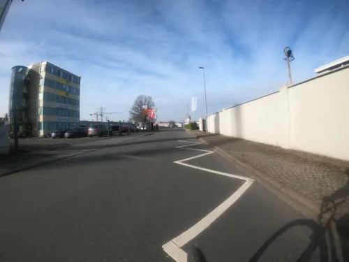
Anandas Little Ceylon
Restaurant · Indian · 2.2 km
3 Bessemerstraße
Tu 11:30-15:00; We-Fr 11:30-15:00, 17:30-21:00; Sa-Su 17:30-22:00

Anna's Cafe
Cafe · Breakfast, Cake, Coffee, Sandwich · 3.7 km
6 Salzstraße am Wasser, Lüneburg
Mo-Su 09:00-17:00
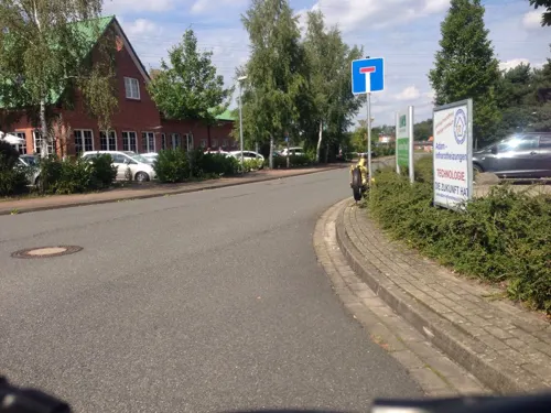
Bacchus
Restaurant · Greek · 2.8 km
34 Hamburger Straße, Lüneburg
Mo-Fr 11:00-14:30,17:00-22:00; Sa 12:00-14:30,17:00-22:30; Su,PH...
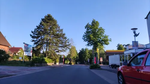
Eiscafé Pizzeria Adriano
Cafe · Ice Cream, Pizza
19a Kirchweg, Adendorf
Mo-Sa 11:00-21:00; Su 12:00-21:00; PH 12:00-21:00
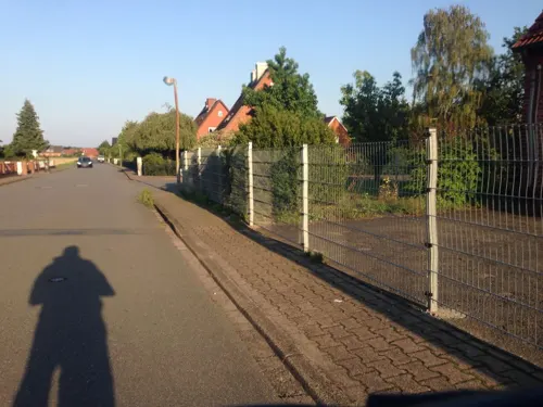
Estia Greek Soul Kitchen
Restaurant · Greek
15 Königsberger Weg, Adendorf
We-Su 17:00-23:00; Su 12:00-14:30,17:00-23:00; PH 12:00-14:30, 17:00-23:00
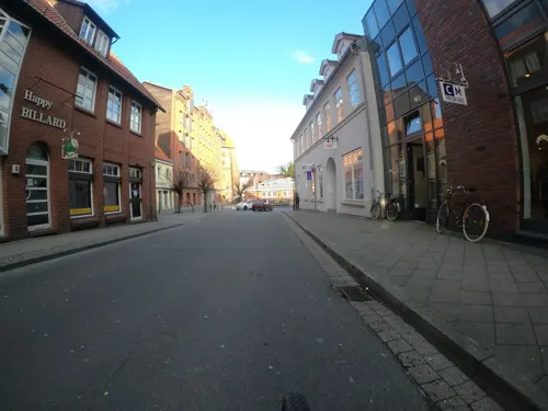
Happy Billard Lüneburg
Bar and pub · 3.9 km
Billiard, Dart und Kicker
6 Bei der Abtspferdetränke, Lüneburg
Jun-Sep Mo-Sa 18:00+; Oct-May Mo-Sa 17:00+
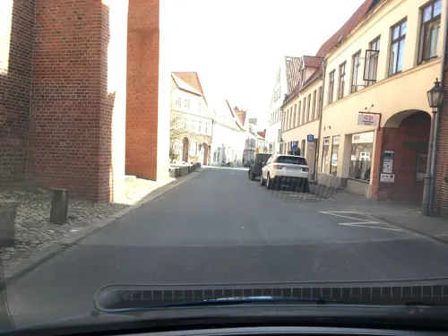
Happy Sushi
Restaurant · Sushi · 3.8 km
2 Bei der St. Nicolaikirche
Tu-Fr 11:00-22:00; PH,Sa,Su 13:00-22:00; Mo off

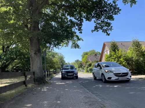
Hofcafé
Cafe · Mittagessen, Cake, Ice Cream · 3.2 km
10 Ochtmisser Straße, Lüneburg
Tu-Fr 07:00-17:30; Sa 07:00-12:00; Su 08:00-17:30
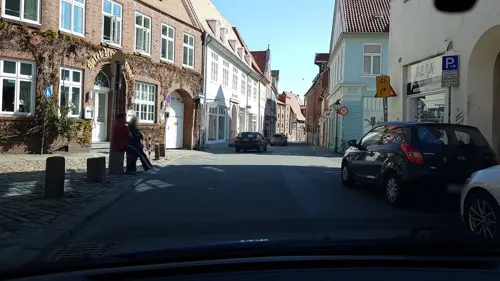


Ochi's Barcelona
Restaurant · Spanish · 3.8 km
6-7 Lüner Straße, Lüneburg
Mo-Fr 17:30-01:00, Sa 17:30-03:00
115 more on the map.
Where to stay13
Churches and places of worship20
Freikirche der Siebenten-Tags-Adventisten
Church · Seventh Day Adventist · 1.1 km
13 Borgwardstraße, Adendorf
Shopping35
Gas and EV charging15
Schools, colleges and libraries15
Healthcare10
Map of Adendorf
250 places. The map loads OpenStreetMap tiles when you open it.
Getting there and nearby towns
Hamburg Finkenwerder Airport (XFW) is the nearest airport with scheduled flights listed in OpenStreetMap, 49 km away.
- Lüneburg 4 km southwest, about 4 min by car
- Bardowick 4 km west, about 4 min by car
- Reppenstedt 7 km southwest, about 7 min by car
- Bienenbüttel 16 km south, about 16 min by car
- Winsen 17 km northwest, about 17 min by car
- Geesthacht 18 km north, about 18 min by car
- Bleckede 20 km east, about 20 min by car
- Wulfsen 20 km west, about 20 min by car
- Boizenburg 23 km northeast, about 23 min by car
- Stelle 24 km northwest, about 24 min by car
Drive times are estimates from straight-line distance, not routes.
Local news
Headlines from INDB.
Reviews, tips and questions
Loading what members have shared...
Sources and licences
- GeoNames (CC BY 4.0): population, coordinates, regions and time zone
- Mapillary (see each image): photos
- OpenStreetMap contributors (ODbL 1.0): places, airports, map data
- Wikidata (CC0 1.0): elevation, founding date, time zone, website, landmarks and historic places
- Wikimedia Commons (see each image): photos
- Wikipedia (CC BY-SA 4.0): overview and history text
Photo credits
- Adendorf Dorfstraße 45 Johanniskapelle, Gmbo 2013, CC0
- St. Johannis Adendorf SE, Virtual-Pano, CC BY-SA 4.0
- Stolpersteinlage Adendorf Rathausplatz, Gmbo 2013, CC0
- Stolperstein Adendorf Rathausplatz Wilhelm Wiese, Gmbo 2013, CC0
- Adendorf Dorfstr 58 school S facade, Virtual-Pano, CC BY-SA 4.0
- Adendorf Dorfstr 58 school N facade, Virtual-Pano, CC BY-SA 4.0
- Adendorf Dorfstr 58 School E facade, Virtual-Pano, CC BY-SA 4.0
- St. Johannis Adendorf SW, Virtual-Pano, CC BY-SA 4.0
- Entrance to St Johannis chapel in Adendorf, Virtual-Pano, CC BY-SA 4.0
- Gedenktafel Adendorf Dorfstraße 58 Wolfgang Mirosch, Gmbo 2013, CC0
- Stolperstein Adendorf Dorfstraße 58 Wolfgang Mirosch, Gmbo 2013, CC0
- Stolpersteinlage Adendorf Dorfstraße 58, Gmbo 2013, CC0
- St Johannis Adendorf NW, Virtual-Pano, CC BY-SA 4.0
- Kapelle Adendorf, ClausNe, CC BY-SA 4.0
- Adendorf Dorfstr 60, Virtual-Pano, CC BY-SA 4.0
- St Johannis Adendorf E, Virtual-Pano, CC BY-SA 4.0
- St Johannis Adendorf N, Virtual-Pano, CC BY-SA 4.0
- St. Johannis Adendorf NE, Virtual-Pano, CC BY-SA 4.0
- Adendorf - train station - west facade - used as private home, Virtual-Pano, CC BY-SA 4.0
- Kastanienallee 1 Adendorf SE, Virtual-Pano, CC BY-SA 4.0
- Kastanienallee 1 Adendorf E, Virtual-Pano, CC BY-SA 4.0
- 173 2015 07 16 Bei der Ratsmühle 19, Friedrich Haag, CC BY-SA 4.0
- Lüneburg - Heiligengeiststraße - Ostpreußisches Landesmuseum 01 ies, Frank Vincentz, CC BY-SA 3.0
- Salzmuseum Lüneburg Eingang, Hajotthu, CC BY 3.0
- St. Michaelis Kirche in Lüneburg, DerHexer, CC BY-SA 3.0
- Leuphana Building, Gerrit Gutzeit, CC BY-SA 4.0
- 2010-06-06-lueneburg-by-RalfR-13, Ralf Roletschek ( talk ) - Fahrradtechnik auf fahrradmonteur.de, CC BY-SA 3.0 de
- Alter Kran, StefanK0815, CC BY-SA 3.0
- Nature-reserve-bueltenmoor-germany wdpa-81488 001 2018-05-05 09-06-07, Martin Schmidt, CC BY-SA 4.0
- Bardowick - Peter und Paul ex 03 ies, Frank Vincentz, CC BY-SA 3.0
- Lüneburg - Kloster Lüne 16 ies, Frank Vincentz, CC BY-SA 3.0
- Kirche Christ-König, Adendorf, Kirchenfan, CC0
- Alter Kran Lüneburg2, Taxiarchos228, CC BY-SA 3.0
- Bardowick.dom.gesamt.wmt, Wolfgang Meinhart, Hamburg, CC BY-SA 3.0
- Lüneburg Nicolaikirche vom Wasserturm, Andreas Praefcke, CC BY 3.0
- Pauluskirche Lüneburg, Nexobas, CC BY-SA 3.0
- 060 2015 07 17 Am Fischmarkt Kran, Friedrich Haag, CC BY-SA 4.0
- Nature-reserve-bueltenmoor-germany wdpa-81488 008 2018-05-10 08-03-09, Martin Schmidt, CC BY-SA 4.0
- Nature-reserve-streitmoor-germany wdpa-82656 004 2018-05-10 07-30-59, Martin Schmidt, CC BY-SA 4.0
- Nature-reserve-streitmoor-germany wdpa-82656 001 2018-05-05 08-40-24, Martin Schmidt, CC BY-SA 4.0
- Schiffshebewerk Scharnebeck, ApolloWissen, CC BY-SA 4.0
- Altes Kaufhaus Lüneburg, Taxiarchos228, CC BY-SA 3.0
- Street-level photo, ade, CC BY-SA 4.0
- Street-level photo, kodo, CC BY-SA 4.0
- Street-level photo, hotteliene, CC BY-SA 4.0
- Street-level photo, luisakreitmair, CC BY-SA 4.0
- Street-level photo, Nicknam, CC BY-SA 4.0
- Street-level photo, hotteliene, CC BY-SA 4.0
- Street-level photo, hotteliene, CC BY-SA 4.0
- Street-level photo, hotteliene, CC BY-SA 4.0
- Street-level photo, hotteliene, CC BY-SA 4.0
- Street-level photo, rydor, CC BY-SA 4.0
- Street-level photo, rydor, CC BY-SA 4.0
- Street-level photo, kodo, CC BY-SA 4.0
- Street-level photo, rydor, CC BY-SA 4.0
- Street-level photo, hotteliene, CC BY-SA 4.0
- Street-level photo, hotteliene, CC BY-SA 4.0
- Street-level photo, ade, CC BY-SA 4.0
- Street-level photo, hotteliene, CC BY-SA 4.0
- Street-level photo, hotteliene, CC BY-SA 4.0
- Street-level photo, ade, CC BY-SA 4.0
- Street-level photo, hotteliene, CC BY-SA 4.0
- Street-level photo, hotteliene, CC BY-SA 4.0
- Street-level photo, Nicknam, CC BY-SA 4.0
- Street-level photo, rydor, CC BY-SA 4.0
- Street-level photo, rydor, CC BY-SA 4.0
- Street-level photo, rydor, CC BY-SA 4.0


Page built November 9, 2026. Spotted a mistake? Tell us or suggest a place.