


Why visit Bardowick
Townapedia lists 27 museums and landmarks, 18 parks and trails, 68 places to eat, 4 places to stay and 11 attractions in and around town.
Highlights include Arche-Park Lüneburg, Backeberg's Geflügelhof, Textilmuseum and East Prussian Regional Museum.
Weather in Bardowick
Forecast from MET Norway (CC BY 4.0). Full forecast
About Bardowick
Bardowick is a municipality in the district of Lüneburg in Lower Saxony, Germany. It is three miles north of Lüneburg on the navigable river Ilmenau. Bardowick is also the seat of the Samtgemeinde ("collective municipality") Bardowick.
From the Wikipedia article Bardowick (this version), under CC BY-SA 4.0.
Things to do11


Backeberg's Geflügelhof
Farm and orchard · 4.3 km
62 Hauptstraße, Wittorf
Tu,Fr 09:00-18:00; Sa 09:00-13:00

Lüneburg Water Tower
Monument and historic site · 5.5 km
Tower in Lüneburg, Germany
WirGarten Lüneburg
Farm and orchard · 2.4 km
25 Vögelser Straße, Lüneburg
Mo-Fr 08:30-15:00

Museums and landmarks27



Kunstraum of Lüneburg University
Museum · 7.4 km
Contemporary art gallery in Germany


15 more on the map.
Parks, trails and playgrounds18

Bardowicker Strand
Sports field and stadium · 1.1 km
22 Im Kuhreiher, Bardowick
Mo 14:00-18:00; Tu-Su 10:00-18:00





6 more on the map.
Restaurants and cafes68
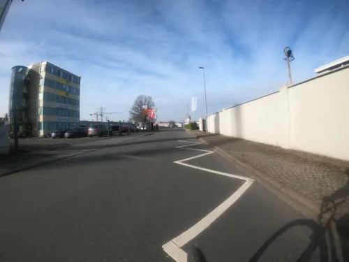
Anandas Little Ceylon
Restaurant · Indian · 3.1 km
3 Bessemerstraße
Tu 11:30-15:00; We-Fr 11:30-15:00, 17:30-21:00; Sa-Su 17:30-22:00
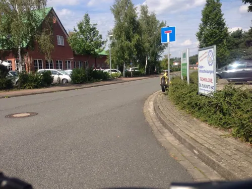

Bacchus
Restaurant · Greek · 1.2 km
34 Hamburger Straße, Lüneburg
Mo-Fr 11:00-14:30,17:00-22:00; Sa 12:00-14:30,17:00-22:30; Su,PH...
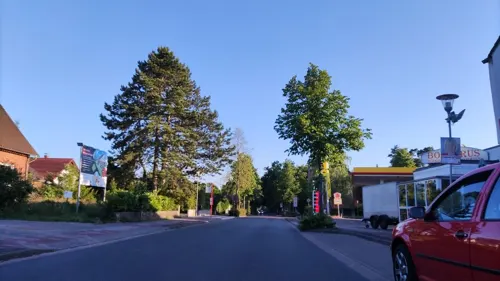
Eiscafé Pizzeria Adriano
Cafe · Ice Cream, Pizza · 3.6 km
19a Kirchweg, Adendorf
Mo-Sa 11:00-21:00; Su 12:00-21:00; PH 12:00-21:00
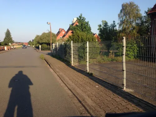
Estia Greek Soul Kitchen
Restaurant · Greek · 3.3 km
15 Königsberger Weg, Adendorf
We-Su 17:00-23:00; Su 12:00-14:30,17:00-23:00; PH 12:00-14:30, 17:00-23:00
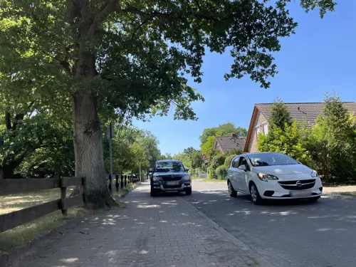
Hofcafé
Cafe · Mittagessen, Cake, Ice Cream · 2.1 km
10 Ochtmisser Straße, Lüneburg
Tu-Fr 07:00-17:30; Sa 07:00-12:00; Su 08:00-17:30
Ratsdiele
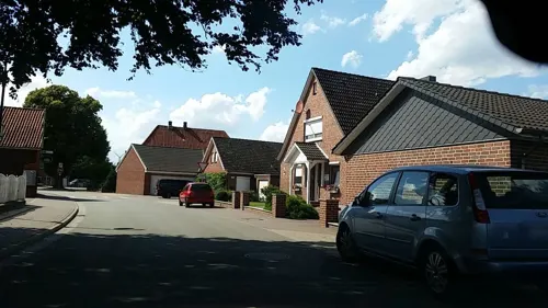
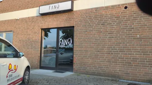
Restaurant · German · 3.7 km
10 Rathausplatz, Adendorf
We,Sa 17:00-21:30; Th,Su 11:30-14:00,17:00-21:30; Fr 11:30-21:30
De Heidbäcker
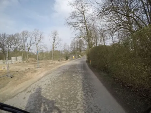
Bakery · 3.7 km
1a Von-Stauffenberg-Straße, Adendorf
Mo-Fr 07:00-20:00; Sa 07:00-19:30; PH off


56 more on the map.
History
Bardowiek was founded in the 8th century by Charlemagne, who established a bishopric in it, and until its destruction by Henry the Lion in 1189, it was the most prosperous commercial city of north Germany. Its name is derived from the Lombards (Longobardi), the tribe for whom it was the home and centre, and from it the colonization of Lombardy started.
The town was first mentioned in 795 AD and was raised to city status in 972 by Otto I.
In 1146 the collegiate church of Saints Peter and Paul is recorded first. In 1186 the then competent Prince-Bishop of Verden, Tammo (d. 1188), further privileged the collegiate church.
The city was razed to the ground, with the exception of the churches, in 1189 by Henry the Lion. Until that time, it was the most prosperous commercial city in northern Germany.
Today's building of the former collegiate, meanwhile Lutheran church (German: Bardowicker Dom, with Dom being used in German language - pars pro toto - as a synecdoche for collegiate churches and cathedrals alike) was erected between 1389 and 1485.
From the History section of Bardowick on Wikipedia, under CC BY-SA 4.0.
Where to stay4
Churches and places of worship16
Freikirche der Siebenten-Tags-Adventisten
Church · Seventh Day Adventist · 2.9 km
13 Borgwardstraße, Adendorf
Shopping25
Gas and EV charging14
Schools, colleges and libraries14
Healthcare8
Map of Bardowick
205 places. The map loads OpenStreetMap tiles when you open it.
Getting there and nearby towns
Hamburg Finkenwerder Airport (XFW) is the nearest airport with scheduled flights listed in OpenStreetMap, 46 km away.
- Lüneburg 5 km south, about 5 min by car
- Reppenstedt 6 km southwest, about 6 min by car
- Winsen 14 km northwest, about 14 min by car
- Geesthacht 16 km north, about 16 min by car
- Wulfsen 16 km west, about 16 min by car
- Bienenbüttel 18 km south, about 18 min by car
- Stelle 21 km northwest, about 21 min by car
- Bleckede 23 km east, about 23 min by car
- Schwarzenbek 24 km north, about 24 min by car
- Wentorf bei Hamburg 24 km north, about 24 min by car
Drive times are estimates from straight-line distance, not routes.
Local news
Headlines from INDB.
Reviews, tips and questions
Loading what members have shared...
Sources and licences
- GeoNames (CC BY 4.0): population, coordinates, regions and time zone
- Mapillary (see each image): photos
- OpenStreetMap contributors (ODbL 1.0): places, airports, map data
- Wikidata (CC0 1.0): elevation, founding date, time zone, website, landmarks and historic places
- Wikimedia Commons (see each image): photos
- Wikipedia (CC BY-SA 4.0): overview and history text
Photo credits
- Altes Wohnhaus Hamburger Landstr 19 Bardowick Baudenkmal, Manuela Reinbold, CC0
- Altes Wohnhaus Im Grimm 1 Bardowick Baudenkmal, Manuela Reinbold, CC0
- Altes Gut Vresdorf Bardowick Baudenkmal, Manuela Reinbold, CC0
- Altes Wohnhaus Große Str 28 Bardowick Baudenkmal, Manuela Reinbold, CC0
- Altes Wohnwirtschaftshaus Große Str 30 Bardowick Baudenkmal, Manuela Reinbold, CC0
- Altes Wirtschaftsteil Hamburger Landstr 62 Bardowick Baudenkmal, Manuela Reinbold, CC0
- Altes Wohnwirtschaftshaus Im Sande 1 Bardowick Baudenkmal, Manuela Reinbold, CC0
- Bardowick St. Nikolai 001 2022 05 31, Friedrich Haag, CC BY-SA 4.0
- Bardowick St. Nikolaihof 004 2022 05 31, Friedrich Haag, CC BY-SA 4.0
- Bardowick St. Nikolai 002 2022 05 31, Friedrich Haag, CC BY-SA 4.0
- Bardowick St. Nikolai 011 2022 05 31, Friedrich Haag, CC BY-SA 4.0
- Bardowick St. Nikolai 004 2022 05 31, Friedrich Haag, CC BY-SA 4.0
- Bardowick St. Nikolai 007 2022 05 31, Friedrich Haag, CC BY-SA 4.0
- Bardowick St. Nikolaihof 19K 001 2022 05 31, Friedrich Haag, CC BY-SA 4.0
- Bardowick St. Nikolai 006 2022 05 31, Friedrich Haag, CC BY-SA 4.0
- Bardowick St. Nikolaihof 003 2022 05 31, Friedrich Haag, CC BY-SA 4.0
- Bardowick St. Nikolaihof 001 2022 05 31, Friedrich Haag, CC BY-SA 4.0
- Bardowick St. Nikolai 003 2022 05 31, Friedrich Haag, CC BY-SA 4.0
- Bardowick St. Nikolai 005 2022 05 31, Friedrich Haag, CC BY-SA 4.0
- Bardowick St. Nikolai 008 2022 05 31, Friedrich Haag, CC BY-SA 4.0
- Bardowick St. Nikolai 009 2022 05 31, Friedrich Haag, CC BY-SA 4.0
- Bardowick St. Nikolaihof 19F 004 2022 05 31, Friedrich Haag, CC BY-SA 4.0
- Bardowick St. Nikolaihof 19E 001 2022 05 31, Friedrich Haag, CC BY-SA 4.0
- Bardowick St. Nikolaihof 19F 001 2022 05 31, Friedrich Haag, CC BY-SA 4.0
- Bardowick St. Nikolaihof 19I J 002 2022 05 31, Friedrich Haag, CC BY-SA 4.0
- Bardowick St. Nikolaihof 19G 002 2022 05 31, Friedrich Haag, CC BY-SA 4.0
- Bardowick St. Nikolai 010 2022 05 31, Friedrich Haag, CC BY-SA 4.0
- Bardowick St. Nikolaihof 19E 002 2022 05 31, Friedrich Haag, CC BY-SA 4.0
- Bardowick St. Nikolaihof 19I J 001 2022 05 31, Friedrich Haag, CC BY-SA 4.0
- Bardowick St. Nikolaihof 19G 001 2022 05 31, Friedrich Haag, CC BY-SA 4.0
- Bardowick St. Nikolaihof 19G 003 2022 05 31, Friedrich Haag, CC BY-SA 4.0
- Bardowick, Domstrasse 1, Warrel040, CC BY-SA 4.0
- Bardowick St. Nikolaihof 19F 003 2022 05 31, Friedrich Haag, CC BY-SA 4.0
- Bardowick St. Nikolaihof 19F 002 2022 05 31, Friedrich Haag, CC BY-SA 4.0
- Bardowick St. Nikolaihof 19G 006 2022 05 31, Friedrich Haag, CC BY-SA 4.0
- Bardowick St. Nikolaihof 19G 005 2022 05 31, Friedrich Haag, CC BY-SA 4.0
- Bardowick St. Nikolaihof 19G 004 2022 05 31, Friedrich Haag, CC BY-SA 4.0
- Bardowick, Beim Dom 1, Warrel040, CC BY-SA 4.0
- 173 2015 07 16 Bei der Ratsmühle 19, Friedrich Haag, CC BY-SA 4.0
- Lüneburg - Heiligengeiststraße - Ostpreußisches Landesmuseum 01 ies, Frank Vincentz, CC BY-SA 3.0
- Salzmuseum Lüneburg Eingang, Hajotthu, CC BY 3.0
- St. Michaelis Kirche in Lüneburg, DerHexer, CC BY-SA 3.0
- 2010-06-06-lueneburg-by-RalfR-13, Ralf Roletschek ( talk ) - Fahrradtechnik auf fahrradmonteur.de, CC BY-SA 3.0 de
- Leuphana Building, Gerrit Gutzeit, CC BY-SA 4.0
- Nature-reserve-bueltenmoor-germany wdpa-81488 001 2018-05-05 09-06-07, Martin Schmidt, CC BY-SA 4.0
- Dümpel an der Landwehr, Malte Jörn Krafft, CC BY-SA 4.0
- Psychiatrische Klinik Lüneburg 008, Apostoloff, CC BY-SA 3.0
- Nature-reserve-streitmoor-germany wdpa-82656 001 2018-05-05 08-40-24, Martin Schmidt, CC BY-SA 4.0
- Nikolaikirche Bardowick 2, Volker Hunold, CC BY-SA 4.0
- Lüneburg - Kloster Lüne 16 ies, Frank Vincentz, CC BY-SA 3.0
- Bardowick.dom.gesamt.wmt, Wolfgang Meinhart, Hamburg, CC BY-SA 3.0
- Stolperstein Lüneburg Auf dem Schmaarkamp 21 Adolf Rose, Warrel040, CC BY 4.0
- Stolperstein Lüneburg Auf dem Schmaarkamp 21 Amalie Karoline Rose, Warrel040, CC BY-SA 4.0
- Stolperstein Lüneburg Auf dem Schmaarkamp 21 Arnold Rose, Warrel040, CC BY 4.0
- Stolperstein Lüneburg Am Winebütteler Weg Bernhard Filusch, Gmbo 2013, CC0
- Stolperstein Lüneburg Am Winebütteler Weg Charlotte Regenthal, Gmbo 2013, CC0
- Adendorf Dorfstraße 45 Johanniskapelle, Gmbo 2013, CC0
- Pauluskirche Lüneburg, Nexobas, CC BY-SA 3.0
- Kirche Christ-König, Adendorf, Kirchenfan, CC0
- Street-level photo, tian, CC BY-SA 4.0
- Street-level photo, hotteliene, CC BY-SA 4.0
- Street-level photo, ade, CC BY-SA 4.0
- Street-level photo, hotteliene, CC BY-SA 4.0
- Street-level photo, kodo, CC BY-SA 4.0
- Street-level photo, ade, CC BY-SA 4.0
- Street-level photo, hotteliene, CC BY-SA 4.0
- Street-level photo, hotteliene, CC BY-SA 4.0
- Street-level photo, moenk, CC BY-SA 4.0
- Street-level photo, hotteliene, CC BY-SA 4.0
- Street-level photo, hotteliene, CC BY-SA 4.0
- Street-level photo, hotteliene, CC BY-SA 4.0
- Street-level photo, hotteliene, CC BY-SA 4.0
- Street-level photo, hotteliene, CC BY-SA 4.0
- Street-level photo, hotteliene, CC BY-SA 4.0
- Street-level photo, ade, CC BY-SA 4.0
- Street-level photo, SteffonsLG, CC BY-SA 4.0
- Street-level photo, hotteliene, CC BY-SA 4.0
- Street-level photo, hotteliene, CC BY-SA 4.0
- Street-level photo, hotteliene, CC BY-SA 4.0
- Street-level photo, ade, CC BY-SA 4.0
- Street-level photo, ade, CC BY-SA 4.0
- Street-level photo, hotteliene, CC BY-SA 4.0
- Street-level photo, hotteliene, CC BY-SA 4.0
- Street-level photo, hotteliene, CC BY-SA 4.0
- Street-level photo, hotteliene, CC BY-SA 4.0
- Street-level photo, hotteliene, CC BY-SA 4.0
- Street-level photo, hotteliene, CC BY-SA 4.0
- Street-level photo, hotteliene, CC BY-SA 4.0
- Street-level photo, hotteliene, CC BY-SA 4.0


Page built November 9, 2026. Spotted a mistake? Tell us or suggest a place.