


Why visit Ahlerstedt
Townapedia lists 26 museums and landmarks, 15 parks and trails, 27 places to eat, 6 places to stay and 7 attractions in and around town.
Highlights include Biohof Meibohm, Tipke's Hofkontor, Kloster Harsefeld and Braken und Harselah.
Weather in Ahlerstedt
Forecast from MET Norway (CC BY 4.0). Full forecast
About Ahlerstedt
Ahlerstedt (German pronunciation: [ˈaːlɐʃtɛt]) is a municipality in the District of Stade, Lower Saxony, Germany.
From the Wikipedia article Ahlerstedt (this version), under CC BY-SA 4.0.
Things to do7
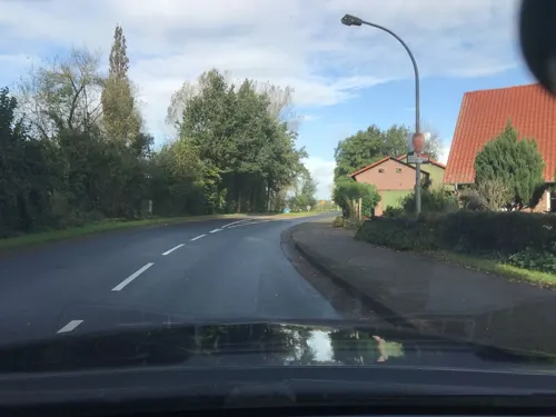
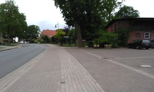
Tipke's Hofkontor
Farm and orchard · 3.3 km
32 Hauptstraße, Harsefeld
Mo 13:00-18:00; Tu-Fr 08:00-18:00; Sa 08:00-13:00
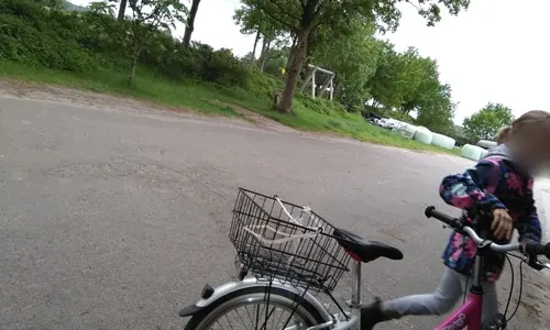
Hofladen Holtermann
Farm and orchard · 6.1 km
20 Marktstraße, Harsefeld
Mo-Fr 07:00-18:30; Sa 07:00-13:30


Verkaufshaus Hof Holtermann
Farm and orchard · 5.9 km
Verkauft Eier, Eierlikör, Eis, Wasser, und andere Produkte
Museums and landmarks26


Besichtigungsraum Hof Holtermann
Monument and historic site · 5.9 km
Bietet Werktags ohne Anmeldung einen Blick in den Hühnerstall
1A Horster Weg, Harsefeld


Gedenkstein Verkopplungssteen Flurneuordnung
Monument and historic site · 4.8 km

14 more on the map.
Parks, trails and playgrounds15



Kidsplanet
Sports field and stadium · 4.8 km
KinderWunderwelt, Spielen, Toben, laut sein, Abenteuerspielplatz, Riesen-Hüpfburg, Trampoline, Rutschen, Indoor-Soccer, Air-Hockey,...
17 Jahnstraße, Harsefeld
Mo-Fr 14:00-19:00; We,Sa,Su 10:00-19:00


3 more on the map.
Restaurants and cafes27
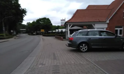
Pizzeria San Marco
Restaurant · Pizza · 6.7 km
50 Herrenstraße, Harsefeld
Tu-Fr 11:00-14:00,17:00-22:30;Sa,Su,PH 12:30-22:30

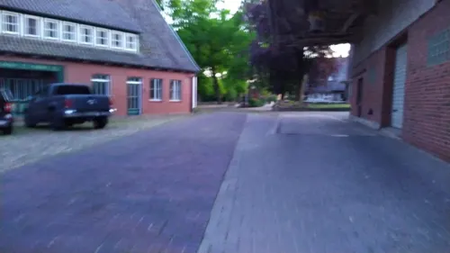
De' Brothöker
Bakery · 5.9 km
6 Landstraße, Bargstedt
Mo-Fr 04:00-18:00; Sa 04:00-12:00; Su 06:00-11:00
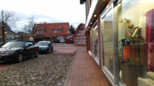
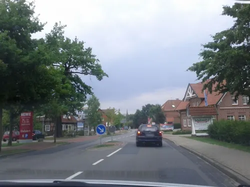
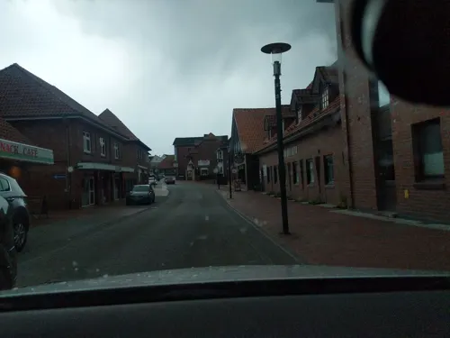
Hillert
Bakery · 6.2 km
22 Marktstraße, Harsefeld
Mo-Fr 05:00-18:00; Sa 05:00-17:00; Su, PH 06:00-17:00

Einfach Köstlich
Restaurant · Burger, German · 6.1 km
2 Am Amtshof, Harsefeld
Tu-Su 12:00-14:30,17:00-22:00


15 more on the map.
Where to stay6
Churches and places of worship7
Shopping13
Gas and EV charging6
Schools, colleges and libraries7
Healthcare4
Map of Ahlerstedt
118 places. The map loads OpenStreetMap tiles when you open it.
Getting there and nearby towns
Hamburg Finkenwerder Airport (XFW) is the nearest airport with scheduled flights listed in OpenStreetMap, 29 km away.
- Harsefeld 6 km northeast, about 6 min by car
- Horneburg 14 km northeast, about 14 min by car
- Sittensen 15 km south, about 15 min by car
- Buxtehude 17 km northeast, about 17 min by car
- Zeven 17 km southwest, about 17 min by car
- Hansestadt Stade 21 km north, about 21 min by car
- Jork 20 km northeast, about 20 min by car
- Bremervörde 22 km northwest, about 22 min by car
- Tostedt 23 km southeast, about 23 min by car
- Neu Wulmstorf 23 km east, about 23 min by car
Drive times are estimates from straight-line distance, not routes.
Local news
Headlines from INDB.
Reviews, tips and questions
Loading what members have shared...
Sources and licences
- GeoNames (CC BY 4.0): population, coordinates, regions and time zone
- Mapillary (see each image): photos
- OpenStreetMap contributors (ODbL 1.0): places, airports, map data
- Wikidata (CC0 1.0): elevation, founding date, time zone, website
- Wikimedia Commons (see each image): photos
- Wikipedia (CC BY-SA 4.0): overview and history text
Photo credits
- Ahlerstedter Mühlengraben (Brakengraben), smarties, CC BY-SA 4.0
- Graben an der Holzhäuser Straße (Ahlerstedter Mühlengraben), Smarties, CC BY-SA 4.0
- Graben zum Paradies (Ahlerstedter Mühlengraben), Smarties, CC BY-SA 4.0
- Stichgraben in der Heide (Ahlerstedter Mühlengraben), Smarties, CC BY-SA 4.0
- Graben vom Kamp I (Ahlerstedter Mühlengraben), Smarties, CC BY-SA 4.0
- Graben von der Trift (Ahlerstedter Mühlengraben), Smarties, CC BY-SA 4.0
- Ahlerstedter Mühlengraben (Brakengraben) 002, Smarties, CC BY-SA 4.0
- Straßenseitengraben vor der Heide (Ahlerstedter Mühlengraben), Smarties, CC BY-SA 4.0
- HarsefeldAhlerstedtKirche, E. S. Myer, CC BY-SA 3.0
- Harsefeld-Gymnasium1-Bubo, Bubo, CC BY-SA 3.0
- Vorderste Rehmen, R2Dine ( Diskussion ), CC BY-SA 4.0
- Kahles und Wildes Moor, R2Dine ( Diskussion ), CC BY-SA 4.0
- Ev.-luth. Kirche Bargstedt St. Primus, Klauswitt (changes by Rabanus Flavus ), CC BY-SA 4.0
- Naturschutzgebiet Braken, Lämpel, CC BY-SA 3.0
- Naturschutzgebiet Hahnenhorst, Smarties, CC BY-SA 4.0
- St. Marien und Bartholomäi 20080708-1, Hans A. Rosbach, CC BY-SA 3.0
- HarsefeldKlosterfundamente, E. S. Myer, CC BY-SA 3.0
- Gedenkstein in Ottendorf - Fleegersteen, smarties, CC BY-SA 4.0
- Gedenkstein in Ottendorf - Heimatvertriebene, smarties, CC BY-SA 4.0
- Gedenkstein in Ottendorf - Hexensteen, smarties, CC BY-SA 4.0
- Gedenkstein in Ottendorf - Klüngelsteen, smarties, CC BY-SA 4.0
- Gedenkstein in Ottendorf - Reformationssteen, smarties, CC BY-SA 4.0
- Gedenkstein in Ottendorf - Napoleonsweg, smarties, CC BY-SA 4.0
- Gedenkstein in Ottendorf - Urgeschichtlicher Grabhügel, smarties, CC BY-SA 4.0
- Gedenkstein in Ottendorf - Verkopplungssteen, smarties, CC BY-SA 4.0
- Gedenkstein in Ottendorf - Welfensteen, smarties, CC BY-SA 4.0
- Harsefeld - Stadtpark mit Kirche 02, Franzfoto, CC BY-SA 4.0
- Graben vom Gewerbegebiet (Brakengraben), Smarties, CC BY-SA 4.0
- Graben in den Wiesen (Kahlbuschgraben), Smarties, CC BY-SA 4.0
- Kahlbuschgraben (Aue), Smarties, CC BY-SA 4.0
- Breekgraben (Kahlbuschgraben), Smarties, CC BY-SA 4.0
- Brakengraben (Aue), smarties, CC BY-SA 4.0
- Graben vom Arnsbrook (Wegseitengraben beim alten Torfmoor), Smarties, CC BY-SA 4.0
- Wegseitengraben beim Arnsbrook (Wegseitengraben beim alten Torfmoor), Smarties, CC BY-SA 4.0
- Wegseitengraben beim alten Torfmoor (Brakengraben), Smarties, CC BY-SA 4.0
- Bishornskampgraben (Aue), Smarties, CC BY-SA 4.0
- Stichgraben beim Graben im Hagen (Graben im Hagen), Smarties, CC BY-SA 4.0
- Waaschgraben (Aue), Smarties, CC BY-SA 4.0
- Street-level photo, calmapill, CC BY-SA 4.0
- Street-level photo, calmapill, CC BY-SA 4.0
- Street-level photo, jbasic, CC BY-SA 4.0
- Street-level photo, patrickk, CC BY-SA 4.0
- Street-level photo, calmapill, CC BY-SA 4.0
- Street-level photo, calmapill, CC BY-SA 4.0
- Street-level photo, calmapill, CC BY-SA 4.0
- Street-level photo, nesshof, CC BY-SA 4.0
- Street-level photo, calmapill, CC BY-SA 4.0
- Street-level photo, nesshof, CC BY-SA 4.0
- Street-level photo, calmapill, CC BY-SA 4.0
- Street-level photo, calmapill, CC BY-SA 4.0
- Street-level photo, nesshof, CC BY-SA 4.0
- Street-level photo, patrickk, CC BY-SA 4.0
- Street-level photo, calmapill, CC BY-SA 4.0
- Street-level photo, nesshof, CC BY-SA 4.0
- Street-level photo, calmapill, CC BY-SA 4.0
- Street-level photo, calmapill, CC BY-SA 4.0
- Street-level photo, calmapill, CC BY-SA 4.0
- Street-level photo, calmapill, CC BY-SA 4.0
- Street-level photo, calmapill, CC BY-SA 4.0
- Street-level photo, jbasic, CC BY-SA 4.0
- Street-level photo, calmapill, CC BY-SA 4.0
- Street-level photo, nesshof, CC BY-SA 4.0
- Street-level photo, nesshof, CC BY-SA 4.0


Page built November 9, 2026. Spotted a mistake? Tell us or suggest a place.