


Why visit Appen
Townapedia lists 17 museums and landmarks, 20 parks and trails, 78 places to eat, 7 places to stay and 4 attractions in and around town.
Highlights include P. Deskau Landwirtschaft & Jagd, Stadtmuseum Pinneberg, Pinneberger Wasserturm and Buttermoor/ Butterbargsmoor.
Weather in Appen
Forecast from MET Norway (CC BY 4.0). Full forecast
About Appen
Appen (German pronunciation: [ˈapn̩]) is a municipality in the district of Pinneberg, in Schleswig-Holstein, Germany. It is situated approximately 3 km west of Pinneberg, and 20 km northwest of Hamburg.
From the Wikipedia article Appen (this version), under CC BY-SA 4.0.
Photos of Appen


Things to do4

P. Deskau Landwirtschaft & Jagd
Farm and orchard
59 Hauptstraße, Appen
Tu-Fr 09:00-12:00,15:00-18:00; Sa 07:00-12:00; PH off

Museums and landmarks17

Stadtmuseum Pinneberg
Museum · 3.3 km
25 Dingstätte, Pinneberg
Tu,We,Fr 17:00-19:00; Th 10:00-12:00,15:00-17:00; Sa 11:00-13:00;...

Pinneberger Wasserturm
Monument and historic site · 2.7 km
Stilllegung 1956, 1994 an Privateigentümer verkauft.
43 Peinerweg, Pinneberg



Ehrenmal für die Gefallenen des Ersten Weltkrieges
Monument and historic site · 3.4 km
1. Weltkrieg

5 more on the map.
Parks, trails and playgrounds20







8 more on the map.
Restaurants and cafes78
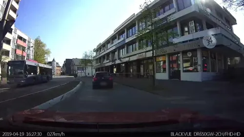
Bekun Restaurant
Restaurant · Sushi, Asian · 3.1 km
7-11 Elmshorner Straße, Pinneberg
Mo-Fr 11:30-15:00,16:30-22:00; Sa,Su 11:30-22:00
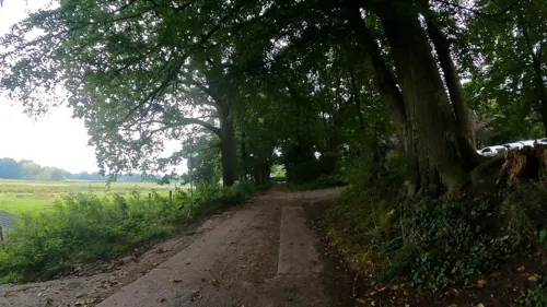
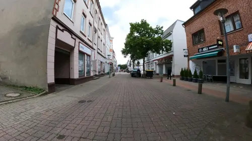
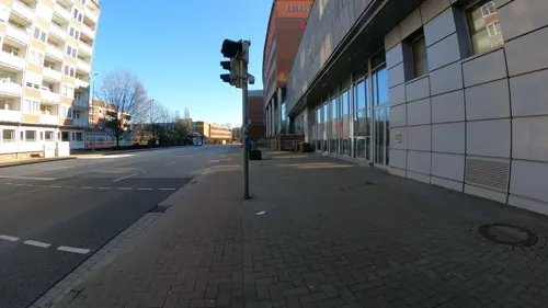
Opposti
Restaurant · Pizza, Burger, Pasta · 3.4 km
8a Bismarckstraße, Pinneberg
Mo 11:00-23:30; Tu 12:00-23:00; We-Th 12:00-23:30; Fr-Sa...
Raj Mahal
Restaurant · Indian · 3.5 km
35 Lindenstraße, Pinneberg
Mo-Fr 11:30-15:00,17:00-22:00; Su 12:00-22:00; Sa 13:00-22:00

Café Madeira
Cafe · Portuguese · 3.5 km
82 Elmshorner Straße, Pinneberg
Tu-Th 10:00-20:00; Fr-Sa 10:00-22:00; Su 10:00-18:00

Hofcafé Almthof
Cafe · Cake, Ice Cream, Pizza, Sandwich · 1.7 km
37 Almtweg, Appen
Sa 13:00-18:00; Su 10:00-18:00

Jannys Eis Café
Ice cream · Ice Cream · 3.0 km
43 Heinrich-Christiansen-Straße, Pinneberg
Mo-Su 11:00-19:00
Lust auf Sizilien
Restaurant · Italian · 3.5 km
12 Voßbarg, Pinneberg
Mo-Sa 17:00-22:00; Su 15:00-22:00
Restaurant Dubrovnik Pinneberg
Restaurant · Balkan · 3.6 km
7 An der Raa, Pinneberg
Tu-Th 16:00-22:00; Fr,Sa 16:00-23:00; PH,Su 12:00-21:00; Mo off
66 more on the map.
Where to stay7
Churches and places of worship7
The Church of Jesus Christ of Latter-day Saints
Church · Mormon · 2.8 km
11 Saarlandstraße, Pinneberg
Shopping26
Gas and EV charging14
Schools, colleges and libraries19
Healthcare8
Map of Appen
200 places. The map loads OpenStreetMap tiles when you open it.
Getting there and nearby towns
Hamburg Finkenwerder Airport (XFW) is the nearest airport with scheduled flights listed in OpenStreetMap, 15 km away.
- Pinneberg 3 km east, about 3 min by car
- Tornesch 5 km north, about 5 min by car
- Rellingen 6 km east, about 6 min by car
- Uetersen 6 km northwest, about 6 min by car
- Halstenbek 7 km southeast, about 7 min by car
- Wedel 9 km south, about 9 min by car
- Sülldorf 10 km south, about 10 min by car
- Elmshorn 12 km northwest, about 12 min by car
- Quickborn 13 km northeast, about 13 min by car
- Jork 15 km south, about 15 min by car
Drive times are estimates from straight-line distance, not routes.
Towns near Appen


Keep exploring
Local news
Headlines from INDB.
Reviews, tips and questions
Loading what members have shared...
Sources and licences
- GeoNames (CC BY 4.0): population, coordinates, regions and time zone
- Mapillary (see each image): photos
- OpenStreetMap contributors (ODbL 1.0): places, airports, map data
- Wikidata (CC0 1.0): elevation, founding date, time zone, website, landmarks and historic places
- Wikimedia Commons (see each image): photos
- Wikipedia (CC BY-SA 4.0): overview and history text
Photo credits
- Appen Schäferhof 02, Huhu at de.wikipedia, Public domain
- MFG 0749-Schnaakenmoor, Malte, CC BY 3.0
- Pinneberg-drostei, Staro1, CC BY-SA 3.0
- Pinneberg Lutherkirche, Uwe Barghaan, CC BY 3.0
- Pinneberg Heilig-Geist-Kirche, Uwe Barghaan, CC BY 3.0
- Christuskirche Pinneberg, Nihat Halici, CC BY-SA 2.5
- Pinneberg-stmichael, Bauermann, CC BY-SA 3.0
- Pinneberg Wasserturm-01, Radler59 ( talk ), CC BY-SA 4.0
- Buttermoor-Butterbargsmoor 04, Huhu Uet, CC BY-SA 3.0
- Tävsmoor 01, Klausrohwer, CC BY-SA 3.0
- Hügelgrab Appen 02, Huhu Uet, CC BY-SA 3.0
- Buttermoor-Butterbargsmoor 05, Huhu Uet, CC BY-SA 3.0
- Bismarckdenkmal Elisenhöhe, Unknown author Unknown author, Public domain
- Prisdorf Peiner Hag 50, An-d, CC BY-SA 3.0
- Prisdorf Peiner Hag 49, An-d, CC BY-SA 3.0
- Hololepta-plana-18-fws, Francisco Welter-Schultes, CC0
- Altica-aenescens-11-fws, Francisco Welter-Schultes, CC0
- Silpha-carinata-16-fws, Francisco Welter-Schultes, CC0
- Nicrophorus-vespilloides-17-fws, Francisco Welter-Schultes, CC0
- Altica-aenescens-07-fws, Francisco Welter-Schultes, CC0
- Silpha-carinata-20-fws, Francisco Welter-Schultes, CC0
- Hololepta-plana-15-fws, Francisco Welter-Schultes, CC0
- Hololepta-plana-03-fws, Francisco Welter-Schultes, CC0
- Hololepta-plana-23-fws, Francisco Welter-Schultes, CC0
- Silpha-carinata-23-fws, Francisco Welter-Schultes, CC0
- Lampyris-noctiluca-larva-05-fws, Francisco Welter-Schultes, CC0
- Nicrophorus-vespillo-09-fws, Francisco Welter-Schultes, CC0
- Silpha-carinata-31-fws, Francisco Welter-Schultes, CC0
- Stadtmuseum Pinneberg und Brunnen, hh oldman, CC BY 3.0
- Street-level photo, veloroute_hamburg, CC BY-SA 4.0
- Street-level photo, veloroute_hamburg, CC BY-SA 4.0
- Street-level photo, kevinq, CC BY-SA 4.0
- Street-level photo, veloroute_hamburg, CC BY-SA 4.0
- Street-level photo, kevinq, CC BY-SA 4.0
- Street-level photo, veloroute_hamburg, CC BY-SA 4.0
- Street-level photo, kevinq, CC BY-SA 4.0
- Street-level photo, kevinq, CC BY-SA 4.0
- Street-level photo, cougarius, CC BY-SA 4.0
- Street-level photo, veloroute_hamburg, CC BY-SA 4.0
- Street-level photo, veloroute_hamburg, CC BY-SA 4.0
- Street-level photo, veloroute_hamburg, CC BY-SA 4.0
- Street-level photo, veloroute_hamburg, CC BY-SA 4.0
- Street-level photo, veloroute_hamburg, CC BY-SA 4.0
- Street-level photo, veloroute_hamburg, CC BY-SA 4.0
- Street-level photo, kevinq, CC BY-SA 4.0
- Street-level photo, kevinq, CC BY-SA 4.0
- Street-level photo, cougarius, CC BY-SA 4.0
- Street-level photo, veloroute_hamburg, CC BY-SA 4.0
- Street-level photo, cougarius, CC BY-SA 4.0
- Street-level photo, veloroute_hamburg, CC BY-SA 4.0
- Street-level photo, veloroute_hamburg, CC BY-SA 4.0
- Street-level photo, cougarius, CC BY-SA 4.0
- Street-level photo, kevinq, CC BY-SA 4.0
- Street-level photo, kevinq, CC BY-SA 4.0


Page built November 9, 2026. Spotted a mistake? Tell us or suggest a place.