


Ascheberg, Germany
Ascheberg is a town of 15,184 people in North Rhine-Westphalia, Germany.
Why visit Ascheberg
Townapedia lists 42 museums and landmarks, 53 parks and trails, 70 places to eat, 13 places to stay and 11 attractions in and around town.
Highlights include Hofladen "Leonie's Land", La Lando de Alpaca, Dat kleine Immenhuisken and Villa Schmidt.
Weather in Ascheberg
Forecast from MET Norway (CC BY 4.0). Full forecast
About Ascheberg
Ascheberg (German pronunciation: [ˈaʃəbɛʁk]) is a municipality in the district of Coesfeld in the state of North Rhine-Westphalia, Germany.
From the Wikipedia article Ascheberg (this version), under CC BY-SA 4.0.
Things to do11

Hofladen "Leonie's Land"
Farm and orchard · 6.0 km
Selbstbedienungs-Hofladen (Milch, Eier, Kartoffeln, Käse, Nudeln, Getränke)
2 Altendorf, Drensteinfurt
Mo-Su 06:00-21:00
La Lando de Alpaca
Farm and orchard · 8.4 km
4 Langenbrock, Nordkirchen
Th 15:00-17:00; "Sowie nach Vereinbarung"


Museums and landmarks42

Dat kleine Immenhuisken
Museum · 8.2 km
Bienenmuseum. Lebendiges Bienenvolk. Alte Imker- und Bienengeräte
Th 14:00-18:00


Burg Davensberg
Monument and historic site · 4.4 km
7 Mühlendamm, Ascheberg

Haus Venne
Monument and historic site · 8.2 km
84 Mersch, Drensteinfurt




30 more on the map.
Parks, trails and playgrounds53






41 more on the map.
Restaurants and cafes70


Costa Smeralda
Restaurant · Italian · 8.4 km
1 Alte Dorfstraße, Drensteinfurt
Tu-Fr 17:00-23:00; Sa,Su,PH 12:00-23:00
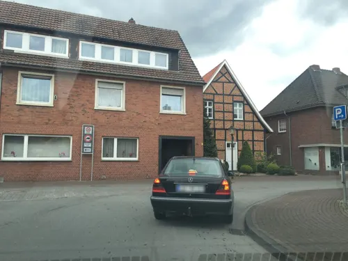
Lüningmeyer
Bakery · 0.7 km
38 Sandstraße, Ascheberg
Mo-Fr 07:00-17:00; Sa 07:00-13:00; Su 08:00-16:00
Pizzeria Antica Fattoria
Restaurant · Italian · 5.7 km
2 Benediktus-Kirchplatz, Ascheberg
Tu-Sa 17:30-23:30; Su 12:00-14:00,17:30-23:30
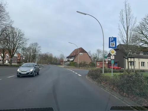
Restaurant Elvering
Restaurant · German · 4.4 km
62 Burgstraße, Ascheberg
Th 17:00-21:30; Fr-Su 11:00-21:30
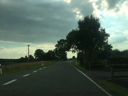
Zum Erdbüsken
Restaurant · German · 2.7 km
59 Nordkirchener Straße, Ascheberg
We-Su 11:30-22:00; Mo,Tu off

Bäckerei Röwekamp
Bakery · 5.8 km
21 Südstraße, Ascheberg
Mo-Fr 06:00-18:00; Sa 06:00-12:30; Su 08:00-12:00,14:30-17:00
Bäckerei Röwekamp
Bakery · 5.9 km
4 Grabenkamp, Nordkirchen
Mo-Fr 05:30-18:00; Sa 05:30-17:00; Su 07:30-12:00,14:30-17:00
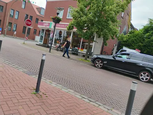


Olympia Grill&Pizza
Restaurant · Greek · 8.1 km
1 Ludwig-Becker-Platz, Nordkirchen
Mo,We-Sa 11:30-22:00; Tu off; Su 13:00-22:00; PH 13:00-22:00
58 more on the map.
Where to stay13
Churches and places of worship17
Johannes-von-Nepomuk-Kapelle
Church · 8.0 km
21 Schloßstraße, Nordkirchen
St. Mauritius
Church · Roman Catholic · 8.0 km
1 Mauritiusplatz, Nordkirchen
Lambertus-Kirche
Church · Roman Catholic · 0.7 km
1 Lambertus-Kirchplatz, Ascheberg
Shopping28
Gas and EV charging13
Aral-Tankstelle L. Höwelhans
Gas station · 3.0 km
72 Steinfurter Straße, Ascheberg
Schools, colleges and libraries19
Katholische öffentliche Bücherei
Library · 0.7 km
3 Lambertus-Kirchplatz, Ascheberg
Healthcare7
Apotheke Rinkerode
Clinic and pharmacy · 8.3 km
6 Albersloher Straße, Drensteinfurt
Map of Ascheberg
250 places. The map loads OpenStreetMap tiles when you open it.
Getting there and nearby towns
Dortmund Airport (DTM) is the nearest airport with scheduled flights listed in OpenStreetMap, 30 km away.
- Nordkirchen 8 km southwest, about 8 min by car
- Drensteinfurt 8 km east, about 8 min by car
- Lüdinghausen 12 km west, about 12 min by car
- Werne 13 km south, about 13 min by car
- Selm 14 km southwest, about 14 min by car
- Sendenhorst 16 km northeast, about 16 min by car
- Hamm 18 km southeast, about 18 min by car
- Münster 20 km north, about 20 min by car
- Bergkamen 19 km south, about 19 min by car
- Lünen 20 km south, about 20 min by car
Drive times are estimates from straight-line distance, not routes.
Local news
Headlines from INDB.
Reviews, tips and questions
Loading what members have shared...
Sources and licences
- GeoNames (CC BY 4.0): population, coordinates, regions and time zone
- Mapillary (see each image): photos
- OpenStreetMap contributors (ODbL 1.0): places, airports, map data
- Wikidata (CC0 1.0): elevation, founding date, time zone, website
- Wikimedia Commons (see each image): photos
- Wikipedia (CC BY-SA 4.0): overview and history text
Photo credits
- Aerial image of Schloss Westerwinkel (view from the south), Carsten Steger, CC BY-SA 4.0
- Aerial image of Schloss Nordkirchen (view from the southeast), Carsten Steger, CC BY-SA 4.0
- Rundturm Davensberg, Unknown author, CC BY-SA 3.0
- Gnadenkapelle Ascheberg 03, Derbrauni, CC BY-SA 3.0
- 20141101 Haus Bisping, Drensteinfurt (07084), Günter Seggebäing, Coesfeld, CC BY-SA 3.0
- Haus Borg (Rinkerode) 2011, Stefan Didam - Schmallenberg, CC BY-SA 3.0
- Ascheberg, Herbern, Haus Itlingen -- 2014 -- 3871 -- Ausschnitt, Dietmar Rabich, CC BY-SA 4.0
- Haus venne 01, Begede, CC BY-SA 3.0
- Nordkirchen-Kapelle-0003, Mbdortmund, CC BY-SA 3.0
- EhrenmalDrensteinfurtVorderseiteganz, Phillsox, Public domain
- Pfarrkirche St. Benedikt Herbern 21.11.2010 15-30-07, BangertNo, CC BY-SA 3.0
- St. Dionysius Kirche Capelle, Lars Tönning, CC BY-SA 4.0
- Nordkirchen-Schloss-0021, Mbdortmund, CC BY-SA 3.0
- Drensteinfurt St Pankratius, Unknown author, CC BY-SA 3.0
- Vila.Schmidt.Drensteinfurt, Khbennemann, CC BY-SA 4.0
- Drensteinfurt evangelische Kirche, Unknown author, CC BY-SA 3.0
- Hotel-Restaurant Clemens-August, Lenny Wagner, CC0
- Davert Naturschutzgebiet (COE-023) Senden, Dirkfried, CC BY-SA 3.0
- NSG Davert Emmerbach Luftbild, Dirkfried, CC BY-SA 4.0
- Nordkirchen, Naturschutzgebiet Ichterloh -- 2018 -- 2060-2, Dietmar Rabich, CC BY-SA 4.0
- Ascheberg RV stopover, Elgaard, CC BY-SA 4.0
- Drensteinfurt Haus Bisping, Unknown author, CC BY-SA 3.0
- Nordkirchen-100415-12386-Nepomuk, Mbdortmund, GFDL 1.2
- Drensteinfurt, Rinkerode, Haus Borg -- 2014 -- 3913 -- Ausschnitt, Dietmar Rabich, CC BY-SA 4.0
- St. Lambertus Ascheberg Turm, Andraszy, CC BY-SA 4.0
- Senden, Monument 01-01, St. Urbanus, Ottmarsbocholt 2020-03-28-4710, W.Strickling, CC BY-SA 4.0
- Gnadenkapelle Ascheberg 05, Derbrauni, CC BY-SA 3.0
- Brücke über den Gorbach, Gmbo 2013, CC0
- St. Anna in Davensberg um das Jahr 1891, Hans Börsting, CC BY-SA 4.0
- Stolperstein Ascheberg Bernhardstraße 28 Emma Samson, Tomtom10, CC BY-SA 4.0
- Street-level photo, descilla, CC BY-SA 4.0
- Street-level photo, descilla, CC BY-SA 4.0
- Street-level photo, descilla, CC BY-SA 4.0
- Street-level photo, peewee32, CC BY-SA 4.0
- Street-level photo, descilla, CC BY-SA 4.0
- Street-level photo, descilla, CC BY-SA 4.0
- Street-level photo, sunufatarungo, CC BY-SA 4.0
- Street-level photo, sunufatarungo, CC BY-SA 4.0
- Street-level photo, changchun1, CC BY-SA 4.0
- Street-level photo, chateaureblaus, CC BY-SA 4.0
- Street-level photo, peewee32, CC BY-SA 4.0
- Street-level photo, descilla, CC BY-SA 4.0
- Street-level photo, chateaureblaus, CC BY-SA 4.0
- Street-level photo, descilla, CC BY-SA 4.0


Page built November 8, 2026. Spotted a mistake? Tell us or suggest a place.