


Sendenhorst, Germany
Sendenhorst is a town of 13,316 people in North Rhine-Westphalia, Germany.
Why visit Sendenhorst
Townapedia lists 44 museums and landmarks, 41 parks and trails, 44 places to eat, 10 places to stay and 4 attractions in and around town.
Highlights include Fleischoase, Krümels Hofstübchen, Gut Brückhausen and Dat kleine Immenhuisken.
Weather in Sendenhorst
Forecast from MET Norway (CC BY 4.0). Full forecast
About Sendenhorst
Sendenhorst (German pronunciation: [ˈzɛndn̩ˌhɔʁst] ; Low German: Siänhuorst) is a town in the district of Warendorf, in North Rhine-Westphalia, Germany. It is situated approximately 20 km (12 mi) north of Hamm and 20 km (12 mi) south-east of Münster.
From the Wikipedia article Sendenhorst (this version), under CC BY-SA 4.0.
Things to do4

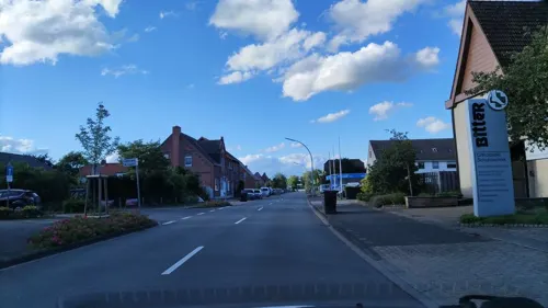
Krümels Hofstübchen
Farm and orchard · 7.2 km
We-Fr 08:00-13:00,14:30-18:00; Sa 08:00-16:30; Su-Tu off
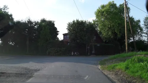
Museums and landmarks44


Dat kleine Immenhuisken
Museum · 8.2 km
Bienenmuseum. Lebendiges Bienenvolk. Alte Imker- und Bienengeräte
Th 14:00-18:00


Alte Post
Monument and historic site · 7.9 km
15 Mühlenstraße, Drensteinfurt



Ehrenmal
Monument and historic site · 0.8 km
Ehrenmal für die Kriegsopfer des örtllichen Sportvereins

32 more on the map.
Parks, trails and playgrounds41







29 more on the map.
Restaurants and cafes44

Eichenhof Schlüter
Restaurant · Regional · 7.5 km
Restaurant und Café
9 Wieningen, Everswinkel
Th 14:00+; We,Fr-Su,PH 09:30+; Mo,Tu off; Jan-Feb off

Schulze Rötering
Cafe · Regional · 5.2 km
115 Prozessionsweg, Ahlen
We-Fr 14:00-18:00; Sa 12:00-18:00; Su 09:00-18:00
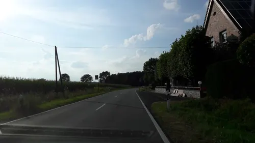

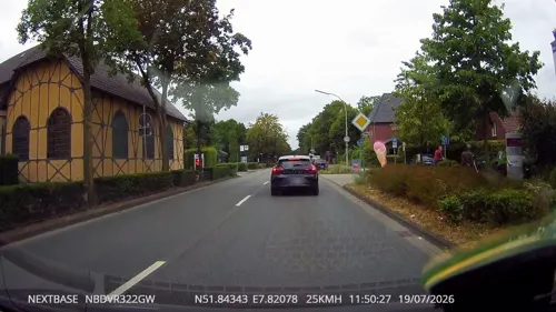
Essmann's Backstube
Bakery · 0.7 km
22 Westtor, Sendenhorst
Mo-Fr 06:00-18:00; Sa 06:00-17:00; Su,PH 07:00-17:00
Kiepenkerl
Bakery
15 Kirchstraße, Sendenhorst
Mo-Fr 06:00-18:00; Sa 06:00-13:00; Su 08:00-12:30,14:00-17:00
Pängel Anton
Restaurant · 6.8 km
12 Neuengraben, Ennigerloh
Mo off; Tu-Fr 16:00+; Sa "für private Veranstaltungen"; Su,PH 11:00+


Gasthof Bütfering
Bar and pub · 6.3 km
Gasthof, Brennerei, Saalbetrieb, Branch
2 Raiffeisenstraße, Warendorf
Ristorante La Piccola
Restaurant · Italian · 8.1 km
17 Marienstraße, Drensteinfurt
11:30-15:00,17:00-23:00

32 more on the map.
Where to stay10
Churches and places of worship15
Sankt Antonius
Church · Roman Catholic · 6.5 km
12 Tönnishäuschen, Ahlen
Shopping18
Gas and EV charging9
Raiffeisen Albersloh-Everswinkel e.G.
Gas station · 7.2 km
24 Wolbecker Straße, Sendenhorst
Schools, colleges and libraries12
katholische öffentliche Bücherei St. Mauritius
Library · 8.2 km
5a Mauritiusstraße, Ennigerloh
Teamschule Drensteinfurt
School · 7.5 km
13/15 Sendenhorster Straße, Drensteinfurt
Healthcare8
Map of Sendenhorst
205 places. The map loads OpenStreetMap tiles when you open it.
Getting there and nearby towns
Münster Osnabrück Airport (FMO) is the nearest airport with scheduled flights listed in OpenStreetMap, 34 km away.
- Warendorf 16 km northeast, about 16 min by car
- Telgte 16 km north, about 16 min by car
- Hamm 18 km south, about 18 min by car
- Münster 19 km northwest, about 19 min by car
- Werne 24 km southwest, about 24 min by car
- Versmold 31 km northeast, about 31 min by car
- Werl 33 km south, about 33 min by car
- Unna 35 km south, about 35 min by car
- Waltrop 38 km southwest, about 38 min by car
- Dortmund 44 km southwest, about 44 min by car
Drive times are estimates from straight-line distance, not routes.
Local news
Headlines from INDB.
Reviews, tips and questions
Loading what members have shared...
Sources and licences
- GeoNames (CC BY 4.0): population, coordinates, regions and time zone
- Mapillary (see each image): photos
- OpenStreetMap contributors (ODbL 1.0): places, airports, map data
- Wikidata (CC0 1.0): elevation, founding date, time zone, website
- Wikimedia Commons (see each image): photos
- Wikipedia (CC BY-SA 4.0): overview and history text
Photo credits
- Clp 20161206 Bf Sendenhorst EG 2, Christian Liebscher, CC BY-SA 4.0
- Sendenhorst, Germany - panoramio (2), Foto Fitti, CC BY-SA 3.0
- Clp 20161206 Bf Sendenhorst EG 1, Christian Liebscher, CC BY-SA 4.0
- Sendenhorst, Germany - panoramio (1), Foto Fitti, CC BY-SA 3.0
- Sendenhorst, Germany - panoramio, Foto Fitti, CC BY-SA 3.0
- Kirche und Turm St. Martin, Sendenhorst, Gerd Friedrich, CC BY-SA 3.0
- Hoetmar - St. Lambertus - 1, Ath, CC0
- Drensteinfurt, Haus Steinfurt -- 2014 -- 3891 -- Ausschnitt, Dietmar Rabich, CC BY-SA 4.0
- EhrenmalDrensteinfurtVorderseiteganz, Phillsox, Public domain
- Drensteinfurt Loretokapelle, Unknown author, CC BY-SA 3.0
- Drensteinfurt Pfarrkirche St Regina, Unknown author, CC BY-SA 3.0
- Alte Post, Drensteinfurt (DSC01990), Günter Seggebäing, CC BY-SA 3.0
- St. Antonius Tönnishäuschen.nnw, NordNordWest, CC BY-SA 3.0 de
- Vila.Schmidt.Drensteinfurt, Khbennemann, CC BY-SA 4.0
- Kirchturm st. josef-stift, Gerd Friedrich, CC BY-SA 3.0
- Alverskirchen - NSG Dorffeld - 01, Ath, CC0
- Alverskirchen - NSG Angel westlich der K33 - 02, Ath, CC0
- Drensteinfurt evangelische Kirche, Unknown author, CC BY-SA 3.0
- Alverskirchen - Haus Brückhausen - 2, Ath, CC0
- Stolperstein Drensteinfurt Südwall 5 Else Salomon, Tomtom10, CC BY-SA 4.0
- Waldgebiet Kettelerhorst, Gizmo134, CC BY-SA 4.0
- Haussteinfurt1, Begede, CC BY-SA 3.0
- St Antonius (Tönnishäuschen) crop, DerBauer2310, CC BY-SA 4.0
- Heilige Elisabeth Sandsteinfigur, Cosmo3null, CC BY-SA 4.0
- Funkturm - panoramio (2), Foto Fitti, CC BY-SA 3.0
- Street-level photo, alucardo, CC BY-SA 4.0
- Street-level photo, derlipper, CC BY-SA 4.0
- Street-level photo, derlipper, CC BY-SA 4.0
- Street-level photo, alucardo, CC BY-SA 4.0
- Street-level photo, derlipper, CC BY-SA 4.0
- Street-level photo, derlipper, CC BY-SA 4.0
- Street-level photo, hotteliene, CC BY-SA 4.0
- Street-level photo, alucardo, CC BY-SA 4.0
- Street-level photo, hotteliene, CC BY-SA 4.0
- Street-level photo, derlipper, CC BY-SA 4.0
- Street-level photo, alucardo, CC BY-SA 4.0
- Street-level photo, hotteliene, CC BY-SA 4.0
- Street-level photo, alucardo, CC BY-SA 4.0
- Street-level photo, alucardo, CC BY-SA 4.0
- Street-level photo, hotteliene, CC BY-SA 4.0


Page built November 8, 2026. Spotted a mistake? Tell us or suggest a place.