


Sassenberg, Germany
Sassenberg is a town of 14,273 people in North Rhine-Westphalia, Germany.
Why visit Sassenberg
Townapedia lists 60 museums and landmarks, 40 parks and trails, 76 places to eat, 20 places to stay and 2 attractions in and around town.
Highlights include Scala, Westpreußisches Landesmuseum, Galerie Witte and Am Sundern.
Weather in Sassenberg
Forecast from MET Norway (CC BY 4.0). Full forecast
About Sassenberg
Sassenberg (German pronunciation: [ˈzasn̩bɛʁk] ; Low German: Sassenbiärg) is a town in the district of Warendorf, in North Rhine-Westphalia, Germany. It is situated approximately 6 km north-east of Warendorf and 30 km east of Münster.
From the Wikipedia article Sassenberg (this version), under CC BY-SA 4.0.
Things to do2

Museums and landmarks60




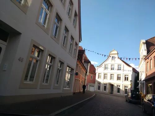


Franziskanerkloster
Monument and historic site · Catholic · 5.5 km


48 more on the map.
Parks, trails and playgrounds40





Nordrhein-Westfälisches Landgestüt
Sports field and stadium · 5.0 km


28 more on the map.
Restaurants and cafes76
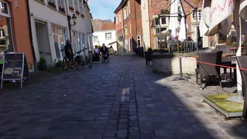


Kosterei
Cafe · Regional, Coffee Shop · 5.6 km
38 Oststraße, Warendorf
Tu,We,Fr 07:30-13:30; Th 07:30-13:30,15:00-18:00; Sa 07:30-14:00
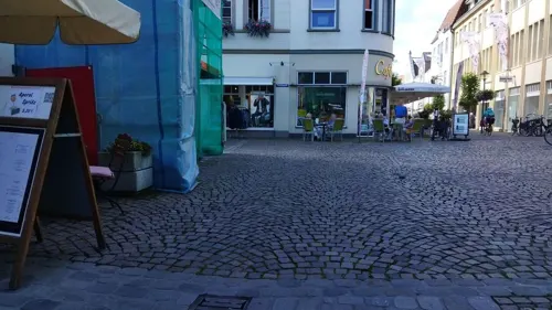
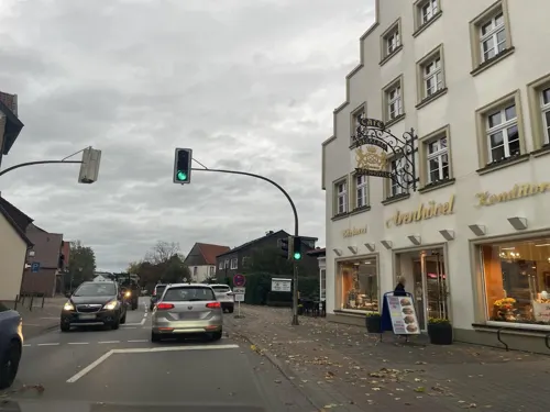
Bäckerei Arenhövel
Bakery
Auch Café und Konditorei
Sa 05:00-13:00; Su 07:00-17:00; Mo,We-Fr 05:00-18:00; Tu 05:00-13:00
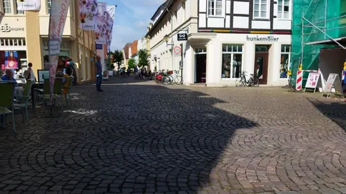
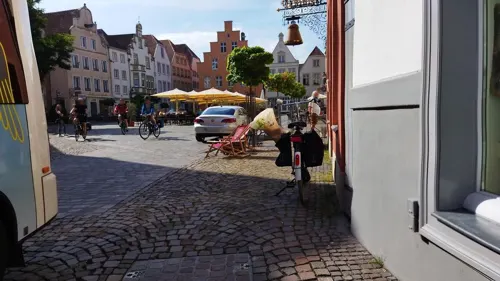

Hosselmann
Bakery · 6.6 km
18 Reichenbacher Straße, Warendorf
Mo-Fr 06:00-18:00; Sa 06:00-16:00; Su 08:00-12:00
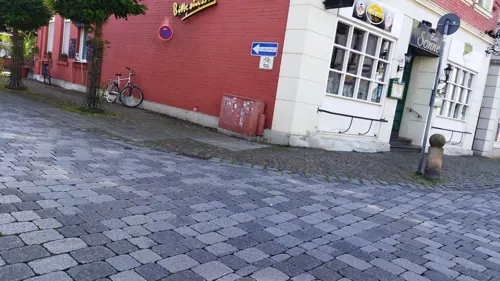


64 more on the map.
History
On July 1, 1969 the municipalities Dackmar, Füchtorf and Gröblingen were incorporated.
From the History section of Sassenberg on Wikipedia, under CC BY-SA 4.0.
Where to stay20
Churches and places of worship22
St. Johannes Baptist
Church · Catholic · 7.2 km
1 Johannesplatz, Harsewinkel
Shopping33
Gas and EV charging15
Tankstelle für Taxen I Privatgebrauch
Gas station · 6.9 km
45 Wolbecker Straße, Warendorf
Schools, colleges and libraries22
Healthcare10
Map of Sassenberg
250 places. The map loads OpenStreetMap tiles when you open it.
Getting there and nearby towns
Münster Osnabrück Airport (FMO) is the nearest airport with scheduled flights listed in OpenStreetMap, 29 km away.
- Warendorf 6 km southwest, about 6 min by car
- Versmold 9 km northeast, about 9 min by car
- Telgte 18 km west, about 18 min by car
- Hilter 18 km northeast, about 18 min by car
- Sendenhorst 22 km southwest, about 22 min by car
- Steinhagen 25 km east, about 25 min by car
- Werther 28 km east, about 28 min by car
- Hasbergen 28 km north, about 28 min by car
- Münster 29 km west, about 29 min by car
- Osnabrück 31 km north, about 31 min by car
Drive times are estimates from straight-line distance, not routes.
Local news
Headlines from INDB.
Reviews, tips and questions
Loading what members have shared...
Sources and licences
- GeoNames (CC BY 4.0): population, coordinates, regions and time zone
- Mapillary (see each image): photos
- OpenStreetMap contributors (ODbL 1.0): places, airports, map data
- Wikidata (CC0 1.0): elevation, founding date, time zone, website
- Wikimedia Commons (see each image): photos
- Wikipedia (CC BY-SA 4.0): overview and history text
Photo credits
- Füchtorf, katholische Kirche, Schiff, Rauenstein, CC BY-SA 3.0
- KircheJohannesEvangelistSassenberg, A. Göke, Public domain
- St. Laurentius Warendorf - Hauptschiff, Der egil, Public domain
- GLW WAF Luftaufnahme, Jan Wohlgemuth ( Janwo 18:50, 16. Mai 2008 (CEST)), CC BY-SA 2.0 de
- Warendorf - Vohren, Affhüppen Kapelle, Klix, CC BY-SA 3.0
- Warendorf, Paradeplatz -- 2014 -- 8594, Dietmar Rabich, CC BY-SA 4.0
- Sassenberg - NSG Tiergarten und Schachblumenwiese - 13, Ath, CC0
- Kirche retuschiert, Waschw, CC BY-SA 3.0
- Greffen St. Johannes osten, Daniel Brockpähler, CC BY-SA 3.0
- Füchtorf, katholische Kirche, Turm, Rauenstein, Public domain
- Warendorf - Franziskanerkloster, Michael Schmalenstroer, CC BY 2.5
- Stadtbücherei und Kulturbüro Warendorf, Gerd Fahrenhorst, CC BY 4.0
- Vinnenberg2018 (69), Lambiotte, CC BY-SA 4.0
- Warendorf - Christuskirche, Michael Schmalenstroer, CC BY-SA 4.0
- Hotel Im Engel, Warendorf, Gerd Fahrenhorst, CC BY 4.0
- Stolperstein Warendorf Brünebrede 17 Jakob Meyer, Gmbo 2013, CC0
- Stolperstein Warendorf Brünebrede 54 Johanna Lehmann, Gmbo 2013, CC0
- Stolperstein Warendorf Brünebrede 17 Anita Meyer, Gmbo 2013, CC0
- Stolperstein Warendorf Brünebrede 17 Helmut Meyer, Gmbo 2013, CC0
- Stolperstein Warendorf Gerichtsfuhlke Berta Samuel, Gmbo 2013, CC0
- Harsewinkel - NSG Am Sundern, Hagar66, CC BY-SA 3.0
- Beelen - NSG Axtbach - 01, Ath, CC0
- Greffen Baggersee Greffener Mark, Daniel Brockpähler, CC BY-SA 3.0
- 20140601 125022 Nordrhein-Westfälisches Landgestüt, Warendorf (DSC02199), Günter Seggebäing, Coesfeld, CC BY-SA 3.0
- Vinnenberg2018 (60), Lambiotte, CC BY-SA 4.0
- Sassenberg - NSG Tiergarten und Schachblumenwiese - 05, Ath, CC0
- Warendorf. Pfarrkirche St. Laurentius (15509080214), photobeppus, CC BY-SA 2.0
- Fritillaria meleagris UME, Uleli, CC BY-SA 3.0
- St. Johannes der Täufer Greffen außen, Daniel Brockpähler, CC BY-SA 3.0
- 20140601 125006 Nordrhein-Westfälisches Landgestüt, Warendorf (DSC02196), Günter Seggebäing, Coesfeld, CC BY-SA 3.0
- Warendorf, Josephs-Hospital -- 2014 -- 8585, Dietmar Rabich, CC BY-SA 4.0
- 20140601 124943 Josephs-Hospital, Warendorf (DSC02194), Günter Seggebäing, Coesfeld, CC BY-SA 3.0
- Warendorf, Bundeswehr-Sportschule -- 2014 -- 8586, Dietmar Rabich, CC BY-SA 4.0
- Warendorf, Ortsansicht -- 2014 -- 8584, Dietmar Rabich, CC BY-SA 4.0
- 20140601 124953 Baggerseen in der Emsaue, Warendorf (DSC02195), Günter Seggebäing, Coesfeld, CC BY-SA 3.0
- Warendorf, Josephs-Hospital -- 2014 -- 8587, Dietmar Rabich, CC BY-SA 4.0
- Winterlandschaft mit Baum 1, Juergen Striewski, CC BY-SA 4.0
- Schlatt im Ortholzer Forst (September 2024), Jonasmerlin, CC BY 4.0
- 36VoS 03 Schnitzel Rotkäppchen Bratkartoffeln Neue Druckerei, Grueslayer, CC BY-SA 4.0
- Warendorf, Gröblingen, Gestüt Haus Ittlinger -- 2014 -- 8583 -- Ausschnitt, Dietmar Rabich, CC BY-SA 4.0
- Warendorf Klosterstrasse 21 Franziskanerkloster 11, J.-H. Janßen, CC BY-SA 3.0
- Street-level photo, changchun1, CC BY-SA 4.0
- Street-level photo, changchun1, CC BY-SA 4.0
- Street-level photo, descilla, CC BY-SA 4.0
- Street-level photo, alucardo, CC BY-SA 4.0
- Street-level photo, baldur80, CC BY-SA 4.0
- Street-level photo, changchun1, CC BY-SA 4.0
- Street-level photo, changchun1, CC BY-SA 4.0
- Street-level photo, changchun1, CC BY-SA 4.0
- Street-level photo, zuse, CC BY-SA 4.0
- Street-level photo, changchun1, CC BY-SA 4.0
- Street-level photo, changchun1, CC BY-SA 4.0
- Street-level photo, thetornado76, CC BY-SA 4.0
- Street-level photo, thetornado76, CC BY-SA 4.0
- Street-level photo, changchun1, CC BY-SA 4.0
- Street-level photo, baldur80, CC BY-SA 4.0
- Street-level photo, baldur80, CC BY-SA 4.0
- Street-level photo, flohoff, CC BY-SA 4.0


Page built November 8, 2026. Spotted a mistake? Tell us or suggest a place.