


Harsewinkel, Germany
Harsewinkel is a town of 24,207 people in North Rhine-Westphalia, Germany.
Why visit Harsewinkel
Townapedia lists 22 museums and landmarks, 41 parks and trails, 74 places to eat, 6 places to stay and 7 attractions in and around town.
Highlights include Bioland-Hof Strotdrees, Hanhart's Hoflädchen, Motorcycle Museum Heiner Beckmann and Heimatmuseum Marienfeld.
Weather in Harsewinkel
Forecast from MET Norway (CC BY 4.0). Full forecast
About Harsewinkel
Harsewinkel (German pronunciation: [ˈhaʁzəˌvɪŋkl̩] ) is a town in Gütersloh District in the state of North Rhine-Westphalia, Germany. It lies on the river Ems, some 15 km north-west of Gütersloh.
From the Wikipedia article Harsewinkel (this version), under CC BY-SA 4.0.
Things to do7

Bioland-Hof Strotdrees
Farm and orchard · 1.7 km
20 Im witten Sand, Harsewinkel
Mo-Th 09:00-13:00,15:00-18:00; Fr 09:00-18:00; Sa 09:00-13:00
Hanhart's Hoflädchen
Farm and orchard · 3.4 km
118 Marienfelder Straße, Herzebrock-Clarholz
We-Fr 10:00-18:00, Sa 09:00-13:00; PH off
Kuhre
Farm and orchard · 5.2 km
2 Bredeck, Herzebrock-Clarholz
Mo-We 08:30-13:00, Th-Fr 08:30-18:30, Sa 08:30-13:00; PH off
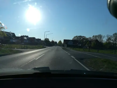
Bio-Bauernmarkt Hoffmeier
Farm and orchard · 7.1 km
52 Oesterweger Straße, Versmold
Mo-Fr 09:00-18:00; Sa 07:30-14:00
Hofladen Pavenstädt-Westhoff
Farm and orchard · 7.2 km
28c Letter Straße, Herzebrock-Clarholz
Museums and landmarks22

Motorcycle Museum Heiner Beckmann
Museum · 6.0 km
32 Beelener Straße, Harsewinkel
easter-Oct: Su 11:00-17:00 || "nach Vereinbarung"



Sawmill Meier-Osthoff
Museum · 2.9 km
22a Steinhäger Straße, Harsewinkel

Ehrendenkmal Adolf Storck
Monument and historic site · 7.6 km
Sein Testament ermöglichte die Gründung der Friedlandsiedlung

10 more on the map.
Parks, trails and playgrounds41






29 more on the map.
Restaurants and cafes74
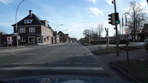
Altes Gasthaus Rugge
Restaurant · German · 7.1 km
15 Propsteihof, Herzebrock-Clarholz
We-Mo 17:00-21:30
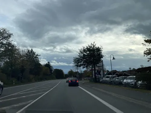
Auszeit bei Sascha
Cafe · Regional · 5.4 km
47 Südfeld, Marienfeld
Mo-Fr 09:00-18:30, Sa 09:00-16:30; Su 09:30-14:00
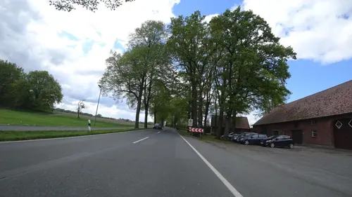
Brocker Mühle
Restaurant · German · 5.4 km
63 Groppeler Straße, Herzebrock-Clarholz
Jan-Feb Th-Sa 17:00-22:00, Su 11:00-22:00;Mar-Dec We-Sa...
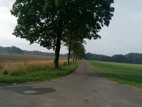
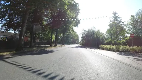
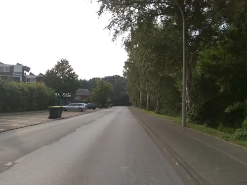

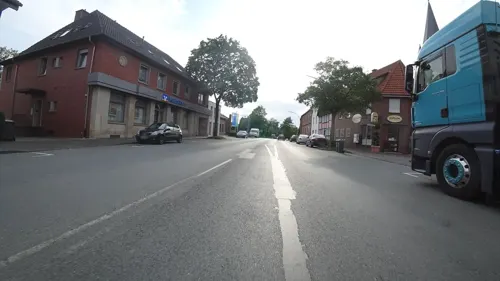


62 more on the map.
History
Archaeological evidence indicates that the Harsewinkel area has been inhabited since the Bronze Age. The name "Hasuinkla" first appeared circa 1090 in records from the Freckenhorst Abbey and is believed to derive from the Old Saxon words haso (hare) or hros (horse). The Cistercian monastery of Marienfeld was founded in 1185 by Bishop Hermann II of Münster and several Westphalian nobles, and consecrated in 1222. Over time, the monastery acquired most local farms and exercised significant influence in local affairs, including judicial authority. Harsewinkel was plundered several times during the late Middle Ages, notably by Bernhard VII of Lippe during the Münster Diocesan Feud (1450–1457). The town suffered further hardship from wars, fires, and epidemics in subsequent centuries. In 1771, Abbot Arnoldus Detten released Harsewinkel from monastic serfdom, and in 1803 the town was granted city rights under Prussian rule. The 19th century brought infrastructural development, including paved roads (1883) and railway access (1900), which paved the way for industrialization beginning in 1919 with the founding of the Claas agricultural machinery company.
From the History section of Harsewinkel on Wikipedia, under CC BY-SA 4.0.
Where to stay6
Landhotel Altes Bauernhaus
Motel and hotel · 3.0 km
20 Möllenbrocksweg, Marienfeld
Churches and places of worship21
St. Johannes Baptist
Church · Catholic · 6.0 km
1 Johannesplatz, Harsewinkel
St. Laurentius
Church · Roman Catholic · 7.2 km
22 Propsteihof, Herzebrock-Clarholz
Shopping24
Gas and EV charging11
Schools, colleges and libraries16
Katholische Öffentliche Bücherei
Library · 7.1 km
17 Propsteihof, Herzebrock-Clarholz
Healthcare7
Map of Harsewinkel
229 places. The map loads OpenStreetMap tiles when you open it.
Getting there and nearby towns
Flugplatz Bielefeld (BFE) is the nearest airport with scheduled flights listed in OpenStreetMap, 22 km away.
- Versmold 10 km northwest, about 10 min by car
- Steinhagen 13 km east, about 13 min by car
- Rheda-Wiedenbrück 13 km south, about 13 min by car
- Sassenberg 13 km west, about 13 min by car
- Oelde 16 km south, about 16 min by car
- Warendorf 16 km west, about 16 min by car
- Werther 18 km northeast, about 18 min by car
- Hilter 20 km north, about 20 min by car
- Bielefeld 22 km east, about 22 min by car
- Rietberg 22 km southeast, about 22 min by car
Drive times are estimates from straight-line distance, not routes.
Local news
Headlines from INDB.
Reviews, tips and questions
Loading what members have shared...
Sources and licences
- GeoNames (CC BY 4.0): population, coordinates, regions and time zone
- Mapillary (see each image): photos
- OpenStreetMap contributors (ODbL 1.0): places, airports, map data
- Wikidata (CC0 1.0): elevation, founding date, time zone, website, landmarks and historic places
- Wikimedia Commons (see each image): photos
- Wikipedia (CC BY-SA 4.0): overview and history text
Photo credits
- Harsewinkel St. Lucia, Daniel Brockpähler, CC BY-SA 3.0
- Harsewinkel St. Lucia 1895, Unknown author Unknown author, Public domain
- Harsewinkel Kath.St.Luciakirche, ludger1961 ( talk · contribs ), CC BY-SA 3.0
- Harsewinkel St. Lucia Taufstein, Daniel Brockpähler, CC BY-SA 3.0
- Stolperstein Salomon Lorch, 1, Kirchplatz 9a, Harsewinkel, Kreis Gütersloh, GeorgDerReisende, CC BY-SA 4.0
- Kirchplatz 11, 1, Harsewinkel, Kreis Gütersloh, GeorgDerReisende, CC BY-SA 4.0
- Harsewinkelkirche, Varus111, CC BY 3.0
- Harsewinkel St. Lucia Chorraum, Daniel Brockpähler, CC BY-SA 3.0
- Harsewinkel St. Lucia Innenansicht 1910, Unknown author Unknown author, Public domain
- Harsewinkel Mädchenschule, Daniel Brockpähler, CC BY-SA 3.0
- St. Lucia, 1, Harsewinkel, Landkreis Gütersloh, GeorgDerReisende, CC BY-SA 4.0
- Kirchplatz 9 + 9a, 1, Harsewinkel, Kreis Gütersloh, GeorgDerReisende, CC BY-SA 4.0
- Landeier Harsewinkel, Daniel Brockpähler, CC BY-SA 3.0
- Harsewinkel St. Lucia Portal, Daniel Brockpähler, CC BY-SA 3.0
- Harsewinkelportal, Varus111, CC BY 3.0
- Harsewinkel St. Lucia Turmbau, Unknown author Unknown author, Public domain
- Harsewinkel St. Lucia 1896, Unknown author Unknown author, Public domain
- Gymnasium Harsewinkel, Daniel Brockpähler, CC BY-SA 3.0
- Harsewinkel St. Lucia Turmbau 1904, Unknown author Unknown author, Public domain
- Harsewinkel Karnevalsumzug 2010, Daniel Brockpähler, CC BY-SA 3.0
- Harsewinkel Dichterbrunnen Bürgermeister, Daniel Brockpähler, CC BY-SA 3.0
- Bushaltestelle Zentrum, 1, Harsewinkel, Landkreis Gütersloh, GeorgDerReisende, CC BY-SA 4.0
- Bushaltestelle Zentrum, 2, Harsewinkel, Landkreis Gütersloh, GeorgDerReisende, CC BY-SA 4.0
- Bushaltestelle Rathaus, 1, Harsewinkel, Landkreis Gütersloh, GeorgDerReisende, CC BY-SA 4.0
- August-Claas-Straße 23-25, 1, Harsewinkel, Kreis Gütersloh, GeorgDerReisende, CC BY-SA 4.0
- August-Claas-Straße 32, 1, Harsewinkel, Landkreis Gütersloh, GeorgDerReisende, CC BY-SA 4.0
- Dr.-Zurbrüggen-Straße, 1, Harsewinkel, Landkreis Gütersloh, GeorgDerReisende, CC BY-SA 4.0
- August-Claas-Straße, 2, Harsewinkel, Landkreis Gütersloh, GeorgDerReisende, CC BY-SA 4.0
- Rathaus Harsewinkel, Ringtonatus, CC BY-SA 4.0
- Harsewinkel Rathaus, ludger1961 ( talk · contribs ), CC BY-SA 3.0
- Bushaltestelle Rathaus, 2, Harsewinkel, Landkreis Gütersloh, GeorgDerReisende, CC BY-SA 4.0
- August-Claas-Straße, 1, Harsewinkel, Landkreis Gütersloh, GeorgDerReisende, CC BY-SA 4.0
- August-Claas-Straße 5, 1, Harsewinkel, Landkreis Gütersloh, GeorgDerReisende, CC BY-SA 4.0
- Harsewinkel Panorama Schwanenteich, Daniel Brockpähler, CC BY-SA 3.0
- August-Claas-Straße 8 + 6, 1, Harsewinkel, Landkreis Gütersloh, GeorgDerReisende, CC BY-SA 4.0
- Münsterstraße 20, 1, Harsewinkel, Landkreis Gütersloh, GeorgDerReisende, CC BY-SA 4.0
- August-Claas-Straße 10a, 1, Harsewinkel, Landkreis Gütersloh, GeorgDerReisende, CC BY-SA 4.0
- Apostelkirche (Gütersloh) (01), Chris06, CC BY-SA 4.0
- Brockhagen Evangelische Pfarrkirche, Daniel Brockpähler, CC BY-SA 3.0
- Halle (Westfalen) - NSG Barrelpäule im Winter, Hagar66, CC BY-SA 3.0
- Marienfeld Christuskirche, Daniel Brockpähler, CC BY-SA 3.0
- Motorradmuseum Heiner Beckmann Außenansicht, Unknown author, CC BY-SA 3.0
- Luftbild Harsewinkel St. Lucia, Daniel Brockpähler, CC BY-SA 3.0
- Steinhagen (Westfalen) - NSG Feuchtwiese Vennheide, Hagar66, CC BY-SA 3.0
- Clarholz Gnadenkirche, Daniel Brockpähler, CC BY-SA 3.0
- Schmiede Heimatmuseum Marienfeld, Daniel Brockpähler, CC BY-SA 3.0
- Harsewinkel Sägemühle Meier-Osthoff 2, Daniel Brockpähler, CC BY-SA 3.0
- Harsewinkel Martin-Luther-Kirche Seite, Daniel Brockpähler, CC BY-SA 3.0
- Greffen St. Johannes osten, Daniel Brockpähler, CC BY-SA 3.0
- St.laurentius clarholz 2014, Eurext, CC BY-SA 3.0
- Harsewinkel Wölanburg Panorama, Daniel Brockpähler, CC BY-SA 3.0
- Marienfeld Abtei 2, Daniel Brockpähler, CC BY-SA 3.0
- Kloster Marienfeld Ansicht Südwesten, Daniel Brockpähler, CC BY-SA 3.0
- Harsewinkel - NSG Am Sundern, Hagar66, CC BY-SA 3.0
- Greffen Baggersee Greffener Mark, Daniel Brockpähler, CC BY-SA 3.0
- Harsewinkel Graureiherkolonie, Daniel Brockpähler, CC BY 3.0
- Huehnermoor, Daniel Brockpähler, CC BY-SA 3.0
- Versmold-Versmolder Bruch, Hagar66, CC BY-SA 3.0
- Street-level photo, baldur80, CC BY-SA 4.0
- Street-level photo, flohoff, CC BY-SA 4.0
- Street-level photo, alucardo, CC BY-SA 4.0
- Street-level photo, poxonline, CC BY-SA 4.0
- Street-level photo, flohoff, CC BY-SA 4.0
- Street-level photo, thorstenh, CC BY-SA 4.0
- Street-level photo, flohoff, CC BY-SA 4.0
- Street-level photo, flohoff, CC BY-SA 4.0
- Street-level photo, flohoff, CC BY-SA 4.0
- Street-level photo, flohoff, CC BY-SA 4.0
- Street-level photo, thetornado76, CC BY-SA 4.0
- Street-level photo, poxonline, CC BY-SA 4.0
- Street-level photo, flohoff, CC BY-SA 4.0
- Street-level photo, flohoff, CC BY-SA 4.0
- Street-level photo, thorstenh, CC BY-SA 4.0
- Street-level photo, alucardo, CC BY-SA 4.0
- Street-level photo, zuse, CC BY-SA 4.0
- Street-level photo, baldur80, CC BY-SA 4.0


Page built November 8, 2026. Spotted a mistake? Tell us or suggest a place.