


Bad Münder am Deister, Germany
Bad Münder am Deister is a town of 18,726 people in Lower Saxony, Germany.
Why visit Bad Münder am Deister
Townapedia lists 96 museums and landmarks, 24 parks and trails, 85 places to eat, 11 places to stay and 51 attractions in and around town.
Highlights include Der Eschenhof Hofladen, Bad Münder am Deister, Museum auf dem Burghof and Deutsches Stuhlmuseum, Eimbeckhausen.
Weather in Bad Münder am Deister
Forecast from MET Norway (CC BY 4.0). Full forecast
About Bad Münder am Deister
Bad Münder am Deister (German pronunciation: [baːt ˈmʏndɐ ʔam ˈdaɪstɐ], lit. 'Bad Münder on the Deister'), commonly known as Bad Münder (West Low German: Bad Münner), is a town in the Hamelin-Pyrmont district, Lower Saxony, Germany. It is on the south side of the Deister hills in the Deister-Süntel valley, about 15 kilometres (9.3 mi) northeast of Hamelin. The city with 16 districts has about 17,400 inhabitants (2020). The district Bad Münder is the administrative centre with about 8,000 inhabitants.
From the Wikipedia article Bad Münder (this version), under CC BY-SA 4.0.
Things to do51
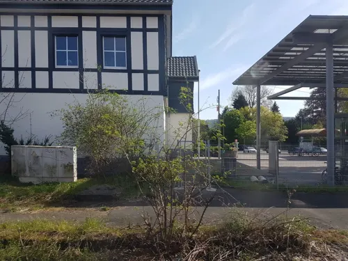
Der Eschenhof Hofladen
Farm and orchard · 6.6 km
15 Industriestraße, Springe
Mo-Fr 09:00-18:00; Sa 09:00-14:00

Bad Münder am Deister
Monument and historic site
Town in Hameln-Pyrmont District, in Lower Saxony, Germany




39 more on the map.
Museums and landmarks96





84 more on the map.
Parks, trails and playgrounds24

Freibad Fischertal
Sports field and stadium · 5.5 km
1 Waldstraße, Bad Münder am Deister
Mo-Fr 14:00-20:00; Sa,Su,PH 13:00-20:00

Hallenbad Springe
Sports field and stadium · 6.8 km
34 Harmsmühlenstraße, Springe
Tu 07:00-10:00, 13:00-18:00; We 07:00-21:00; Th 07:00-21:00; Fr...


Waldbad Altenhagen I
Sports field and stadium · 4.8 km
Mo-Fr 13:00-19:00; Sa 12:00-19:00; Su 11:00-19:00



Freibad Brünnighausen
Sports field and stadium · 7.2 km
May-Sep: Mo-Fr 15:00-18:00+; May-Sep: Sa,Su 14:00-18:00+
12 more on the map.
Restaurants and cafes85
Waldgaststätte Nordmannsturm
Restaurant · Regional · 8.3 km
1, Bad Münder am Deister
Tu-Fr 11:00-17:00; Mo off; Sa,Su,PH 10:00-18:00

"HACIENDA" Spanisches Restaurant und Cocktail-Bar
Restaurant · Spanish
2 Kellerstraße, Bad Münder am Deister
Mo-Sa 17:00+; Su off
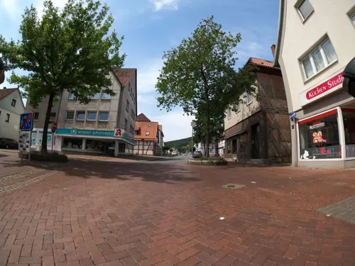
Alte Herberge
Restaurant · German, Mediterranean · 6.1 km
18 Zum Oberntor, Springe
We-Sa 18:00-21:00; Sa 12:00-14:00; Su 12:00-20:00
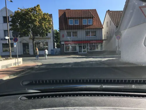
Die Neunte
Restaurant · 6.6 km
Hunde nur auf derTerrasse. Dogs only on the deck.
11 Bahnhofstraße
Mo-Sa 12:00-23:00; Su 12:00-22:00
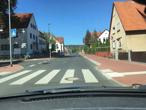
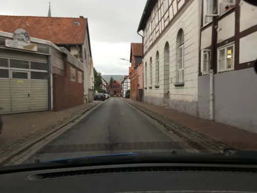
Pizzeria Uno
Restaurant · Italian · 6.3 km
2 Auf dem Burghof, Springe
Mo-Sa 11:00-23:00, Su 12:00-23:00
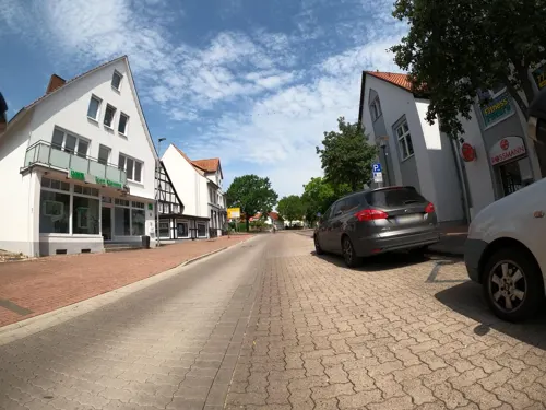
Ristorante Leonardo
Restaurant · Italian · 6.3 km
9 Fünfhausenstraße, Springe
Tu-Su 11:30-14:30, 17:00-22:00; Su 12:00-22:00; Mo off
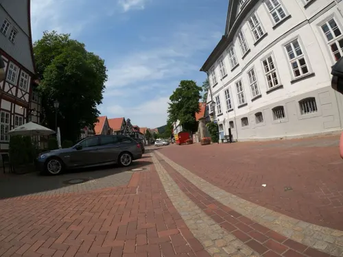
Sen Restaurant Springe
Restaurant · Thai, Vietnamese · 6.2 km
1 Zum Oberntor, Springe
Mo off; Tu-Su 11:30-15:00,17:30-22:00
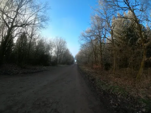
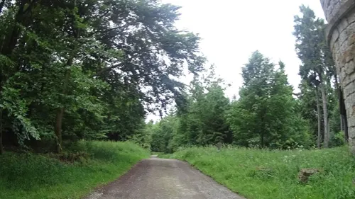
Waldgaststätte Süntelturm
Restaurant · German · 6.1 km
Hohe Egge, Bad Münder am Deister
Apr-Oct: Mo-Tu off; We-Su, PH 10:00-17:00; Nov-Mar: Mo-Tu off;...
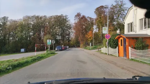


Berggasthaus Ziegenbuche
Restaurant · 2.1 km
6 An der Ziegenbuche, Bad Münder am Deister
Mo-Fr 11:00-21:00; Sa,Su 10:00-21:00; Tu off; Nov-Feb: Mo off
73 more on the map.
Where to stay11
Churches and places of worship24
Kath. Kirche Johannes der Täufer
Church · Roman Catholic
Angerstraße, Bad Münder am Deister
Neuapostolische Kirche Springe
Church · New Apostolic · 6.1 km
19 Im Sieke, Springe
Sankt Martin
Church · Protestant · 5.0 km
St.-Martin-Straße, Bad Münder am Deister
Sankt-Dionysius-Kirche
Church · Lutheran · 2.4 km
3 August-Katz-Straße, Bad Münder am Deister
Shopping18
Gas and EV charging6
Tankstelle Wegener
Gas station · 1.0 km
48 Rahlmühler Straße, Bad Münder am Deister
Schools, colleges and libraries22
Studieninstitut des Landes Niedersachsen (SIN)
School · 0.6 km
86 Lange Straße, Bad Münder am Deister
Healthcare16
Apotheke in der Deutschen Klinik
Clinic and pharmacy · 0.7 km
24 Hannoversche Straße, Bad Münder am Deister
Deutsche Klinik Bad Münder - Zentrum für IVF und Reproduktionsmedizin
Clinic and pharmacy · 0.7 km
24 Hannoversche Straße, Bad Münder am Deister
Deister-Süntel-Klinik - Fachkrankenhaus für Innere Medizin
Hospital · 1.6 km
36 Deisterallee, Bad Münder am Deister
Elithera Gesundheitszentrum Bad Münder
Hospital
4a Vor dem Oberntore, Bad Münder am Deister
Map of Bad Münder am Deister
250 places. The map loads OpenStreetMap tiles when you open it.
Getting there and nearby towns
Hannover Airport (HAJ) is the nearest airport with scheduled flights listed in OpenStreetMap, 33 km away.
- Springe 6 km east, about 6 min by car
- Wennigsen 11 km northeast, about 11 min by car
- Barsinghausen 12 km north, about 12 min by car
- Hameln 13 km southwest, about 13 min by car
- Hessisch Oldendorf 15 km west, about 15 min by car
- Gehrden 16 km northeast, about 16 min by car
- Salzhemmendorf 17 km southeast, about 17 min by car
- Bad Nenndorf 17 km north, about 17 min by car
- Ronnenberg 19 km northeast, about 19 min by car
- Hemmingen 22 km northeast, about 22 min by car
Drive times are estimates from straight-line distance, not routes.
Local news
Headlines from INDB.
Reviews, tips and questions
Loading what members have shared...
Sources and licences
- GeoNames (CC BY 4.0): population, coordinates, regions and time zone
- Mapillary (see each image): photos
- OpenStreetMap contributors (ODbL 1.0): places, airports, map data
- Wikidata (CC0 1.0): elevation, founding date, time zone, website, landmarks and historic places
- Wikimedia Commons (see each image): photos
- Wikipedia (CC BY-SA 4.0): overview and history text
Photo credits
- Altes Rathaus Bad Muender, Maren Kaltenbach at German Wikipedia Later version(s) were uploaded by BLueFiSH.as at de.wikipedia . ( Original text: M.Kaltenbach ), CC BY-SA 3.0
- Annaturm, Tortuosa im März 2005, CC BY-SA 3.0
- Bröhn, Den man tau, CC BY-SA 3.0
- Hallermund Fundament, Benutzer:Axel Hindemith, Public domain
- Eimbeckhausen, Stuhlmuseum, Gerd Fahrenhorst, CC BY 3.0
- Blick vom Ebersberg, Gerhard kemme, CC0
- Nordmannsturm 02, Den man tau, CC BY-SA 4.0
- Kukesburg Wall, AxelHH at German Wikipedia, Public domain
- Elten-Denkmal im Deister, Fitsche, CC BY-SA 3.0
- OHG-Springe, Den man tau, CC BY-SA 4.0
- Naturschutzgebiet Saupark - Kleiner Deister - Durch Windbruch verpserrter Weg, Lotte76, CC BY-SA 4.0
- St.Magnuskirche in Beber (Bad Münder) IMG 6630, losch, CC BY-SA 3.0
- Walterbachtal-Rinderweide, Den man tau, CC BY-SA 3.0
- Springe Kirche Christ-König, Kirchenfan, CC0
- Wasserräder Wennigsen IMG 2381, losch, Attribution
- Blick auf die Bielstein-Klippen (Geotop 3723-06), Puusterke, CC BY-SA 3.0
- Bad Münder Johannes AN2, Kirchenfan, CC0
- St. Dionysius-Kirche in Nettelrede (Bad Münder) IMG 6578, losch, CC BY-SA 3.0
- Waldfriedhof Nienstedt, Den man tau, CC BY-SA 4.0
- Naturschutzgebiet Saupark - Kleiner Deister - Felsformation der oberen Jura (Korallenoolith) (7), Lotte76, CC BY-SA 4.0
- Museum Springe Amtshof, Axel Hindemith, CC BY-SA 3.0
- Naturwald Meinsberg 11, Den man tau, CC BY-SA 4.0
- St.Vincenz-Kirche in Altenhagen I (Springe) IMG 6393, Losch, CC BY-SA 3.0 de
- Eimbeckhausen-Kirche-St-Martin, Ukko.de, CC BY-SA 3.0
- St Andreas Kirche Springe Nord, Clemensfranz, CC BY-SA 3.0
- Altenhagen I, Morgenruhe - Ehrenmal, Den man tau, CC BY-SA 4.0
- Alter Friedhof Springe, Halle, Gerd Fahrenhorst, CC BY 4.0
- Springe-Im Sieke 19-Neuapostolische Kirche, Den man tau, CC BY-SA 4.0
- Sankt-Petrus-Kirche-20241014, A1880, CC0
- Springe-Kreuzkirche, Den man tau, CC BY-SA 4.0
- Kurpark Bad Muender, Maren Kaltenbach, CC BY-SA 3.0
- Springe-Bahnhofstrasse-Ehrenmal, Den man tau, CC BY-SA 3.0 de
- Schweineberg Märzenbecherblüte nah und fern Ausschnitt, Arieswings, CC BY-SA 3.0
- Walterbachtal, Den man tau, CC BY-SA 4.0
- Stadtforst Hameln Leucojum vernum, Gero Brandenburg, CC BY-SA 3.0 de
- Nordmannsturm im Deister IMG 8055, Losch, CC BY-SA 3.0 de
- Wennigser Wasserräder Besucher, Axel Hindemith, CC BY-SA 3.0
- St.Andreas-Kirche in Springe IMG 4206, losch, CC BY-SA 3.0
- St. Petri und Pauli (Bad Münder), Clemensfranz (shifted, cropped & recoloured by Rabanus Flavus ), CC BY-SA 4.0
- Angerstr. 2 I, Mascarada17, CC BY-SA 4.0
- Street-level photo, ramap, CC BY-SA 4.0
- Street-level photo, Langfahrer, CC BY-SA 4.0
- Street-level photo, Langfahrer, CC BY-SA 4.0
- Street-level photo, hotteliene, CC BY-SA 4.0
- Street-level photo, hotteliene, CC BY-SA 4.0
- Street-level photo, Langfahrer, CC BY-SA 4.0
- Street-level photo, Langfahrer, CC BY-SA 4.0
- Street-level photo, hotteliene, CC BY-SA 4.0
- Street-level photo, hotteliene, CC BY-SA 4.0
- Street-level photo, hotteliene, CC BY-SA 4.0
- Street-level photo, hotteliene, CC BY-SA 4.0
- Street-level photo, hotteliene, CC BY-SA 4.0
- Street-level photo, hotteliene, CC BY-SA 4.0
- Street-level photo, hotteliene, CC BY-SA 4.0
- Street-level photo, Langfahrer, CC BY-SA 4.0
- Street-level photo, hotteliene, CC BY-SA 4.0
- Street-level photo, snowdiver, CC BY-SA 4.0
- Street-level photo, Langfahrer, CC BY-SA 4.0
- Street-level photo, hotteliene, CC BY-SA 4.0
- Street-level photo, Langfahrer, CC BY-SA 4.0
- Street-level photo, snowdiver, CC BY-SA 4.0
- Street-level photo, snowdiver, CC BY-SA 4.0
- Street-level photo, hotteliene, CC BY-SA 4.0
- Street-level photo, hotteliene, CC BY-SA 4.0


Page built November 8, 2026. Spotted a mistake? Tell us or suggest a place.