


Bad Münstereifel, Germany
Bad Münstereifel is a town of 5,130 people in North Rhine-Westphalia, Germany.
Why visit Bad Münstereifel
Townapedia lists 203 museums and landmarks, 45 parks and trails, 90 places to eat, 24 places to stay and 68 attractions in and around town.
Highlights include hof zickzack Hofladen, Esser Hof - Regiomat, Hürten Heimatmuseum and Katholische Bildungsstätte und Schönstattzentrum Haus Maria Rast.
Weather in Bad Münstereifel
Forecast from MET Norway (CC BY 4.0). Full forecast
About Bad Münstereifel
Bad Münstereifel (German pronunciation: [baːt mʏnstɐˈʔaɪfl̩] ) is a historical spa town in the district of Euskirchen, Germany, with about 18,000 inhabitants, situated in the far southwest of the German state of North Rhine-Westphalia. The little town is one of only a few historical towns in the southwest of North Rhine-Westphalia, and because of this is often overcrowded by tourists throughout spring and summer.
From the Wikipedia article Bad Münstereifel (this version), under CC BY-SA 4.0.
Travel tips from other travellers: Bad Münstereifel on Wikivoyage (CC BY-SA 4.0).
Things to do68

hof zickzack Hofladen
Farm and orchard · 8.1 km
25 Max-Planck-Straße, Euskirchen
We-Fr 12:00-19:00; Sa 11:00-17:00; Su,PH off


56 more on the map.
Museums and landmarks203

Hürten Heimatmuseum
Museum
Heimatkunde, Fossilien, Römerfunde
6 Langenhecke, Bad Münstereifel
Fr-Su 11:00-17:00

Katholische Bildungsstätte und Schönstattzentrum Haus Maria Rast
Monument and historic site · 6.1 km
1 Josef-Kentenich-Weg, Euskirchen


Radioteleskop Stockert
Monument and historic site · 3.3 km
2-4 Am Astropeiler, Bad Münstereifel
May-Oct Su 14:00+; "Von Mai bis Oktober jeden Sonntag um 14.00 Uhr...

Apothekenmuseum
Museum
13 Wertherstraße, Bad Münstereifel
Tu-Fr 14:30-17:00; Sa-Su, PH 11:00-16:00


Puppen- und Spielzeugmuseum
Museum
Fachwerkhaus
28 Alte Gasse, Bad Münstereifel
Sa-Su 11:30-17:00

Windeckhaus
Monument and historic site
Fachwerkhaus
23 Orchheimer Straße, Bad Münstereifel

Nachbau Aquäduktbögen Mechernich-Vussem
Monument and historic site · 6.8 km
Nachbau von 2 der 12 Brückenbögen auf römischen Fundamenten


191 more on the map.
Parks, trails and playgrounds45



33 more on the map.
Restaurants and cafes90
Gasthaus zur Linde
Bar and pub · Regional · 7.6 km
Ruhestand 2023 = keine Restaurant mehr, sondern nur noch Schanwirtschaft
43 Kirchheimer Straße, Euskirchen
Tu,Th 18:00-22:00
Printenhaus Café Portz
Cafe · International
Café Restaurant
11 Wertherstraße, Bad Münstereifel
Mo 08:00-18:00; Tu-Su 08:00-18:30

Wolfsschlucht
Restaurant · Regional
19 Orchheimer Straße, Bad Münstereifel
Tu-Su 12:00-20:00; Fr,Sa 12:00-20:30
Bonjour Saigon 22
Restaurant · Asian, Vietnamese · 7.0 km
27 Mechernicher Straße, Mechernich
Tu-Th 13:00-21:00; Fr,Sa 12:00-22:00; Su 12:00-21:00; PH 12:00-21:00
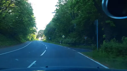
Café Land-Gebuss
Cafe · Regional · 7.5 km
Kakusstraße
Mar-Sep: Mo off, Tu-Fr 11:00-18:00, Sa-Su 11:00-18:00, PH...
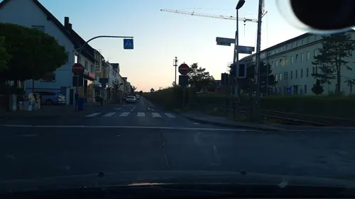
Eiscafé La-Rosá
Ice cream · Ice Cream · 8.8 km
15 Bahnstraße, Mechernich
Nov-Feb closed; Feb-Nov Mo-Su,PH 10:00+
Em Höttchen
Restaurant · German, Regional, Coffee Shop
21 Wertherstraße, Bad Münstereifel
Mo-Tu off; We,Th,Su 11:45-20:00; Fr-Sa 11:45-21:00
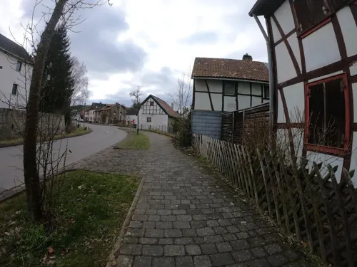
Kupferkessel Schönau
Restaurant · Pizza, Italian, Burger, Steak House, Regional · 5.1 km
9 Eicherscheider Straße, Bad Münstereifel
Tu-Th 11:00-22:00; Fr 16:00-23:00; Sa 14:00-23:00; Su 11:00-22:00
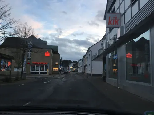
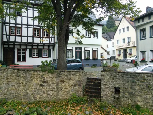
Pinocchio Pizzeria Ristorante
Restaurant · Italian
47 Wertherstraße, Bad Münstereifel
Mo 11:30-14:30,17:30-22:00; We-Su 11:30-14:30,17:30-22:00; Tu off
Pinochio
Restaurant · Pizza · 8.5 km
1 Doktor-Felix-Gerhardus-Straße, Mechernich
12:00-14:30,17:30-22:00; Mo off


Rathaus-Bistro
Cafe · Regional · 8.7 km
1 Bergstraße, Mechernich
Mo off; Tu-Sa 08:30-23:00; Su 09:30-21:30; PH 09:00-21:30 open; Sa...
78 more on the map.
Where to stay24
Churches and places of worship69
Katholische Pfarrkirche Heilig Kreuz
Church · Catholic · 6.5 km
3 Antweilerstraße, Euskirchen
Sankt Cäcilia
Church · Roman Catholic · 6.0 km
26 Jakob-Kneip-Straße, Nettersheim
Shopping36
Gas and EV charging6
Schools, colleges and libraries25
Healthcare7
Marien-Hospital Euskirchen - Tagesklinik Mechernich
Clinic and pharmacy · 7.4 km
2 Auf der Wäsche, Mechernich
Map of Bad Münstereifel
250 places. The map loads OpenStreetMap tiles when you open it.
Getting there and nearby towns
Cologne Bonn Airport (CGN) is the nearest airport with scheduled flights listed in OpenStreetMap, 44 km away.
- Mechernich 9 km northwest, about 9 min by car
- Euskirchen 12 km north, about 12 min by car
- Nettersheim 12 km southwest, about 12 min by car
- Kall 14 km west, about 14 min by car
- Rheinbach 15 km northeast, about 15 min by car
- Blankenheim 16 km southwest, about 16 min by car
- Zülpich 17 km northwest, about 17 min by car
- Meckenheim 20 km east, about 20 min by car
- Schleiden 21 km west, about 21 min by car
- Weilerswist 23 km north, about 23 min by car
Drive times are estimates from straight-line distance, not routes.
Local news
Headlines from INDB.
Reviews, tips and questions
Loading what members have shared...
Sources and licences
- GeoNames (CC BY 4.0): population, coordinates, regions and time zone
- Mapillary (see each image): photos
- OpenStreetMap contributors (ODbL 1.0): places, airports, map data
- Wikidata (CC0 1.0): elevation, founding date, time zone, website, landmarks and historic places
- Wikimedia Commons (see each image): photos
- Wikipedia (CC BY-SA 4.0): overview and history text
Photo credits
- Bad Münstereifel 003-, Wolkenkratzer, CC BY-SA 4.0
- Alte Burg 4, Michael Kramer, CC BY-SA 3.0
- Apotheken-Museum Werther Straße 13, Bad Münstereifel-9932, Raimond Spekking, CC BY-SA 4.0
- Mechernich-Vussem Aquäduktbrücke, Mediatus, CC BY-SA 3.0
- Bruder Klaus Feldkapelle, jda, CC BY-SA 3.0
- Aerial image of Burg Satzvey (view from the east), Carsten Steger, CC BY-SA 4.0
- Kirchheim (Eiskirchen) St. Martinus5782, Reinhardhauke, CC BY-SA 3.0
- FHR I, Alupus, CC BY-SA 3.0
- Kreuzweingarten Heilig-Kreuz5559, Reinhardhauke, CC BY-SA 3.0
- St. Martin (Stotzheim) 003, Thomas Hummel, CC BY-SA 4.0
- Das romanische Haus, Henkelkanne, CC BY-SA 4.0
- Schloss Wachendorf 007x, Wolkenkratzer, CC BY-SA 4.0
- St. Chrysanthus und Daria, Bad Münstereifel-0960, Raimond Spekking, CC BY-SA 4.0
- Niederkastenholz St. Laurentius5794, Reinhardhauke, CC BY-SA 3.0
- Astropeiler Stockert 022-, Wolkenkratzer, CC BY-SA 4.0
- GAT Gebaeude 1, Theodor von Hohenstein, CC BY-SA 4.0
- Evangelische Kirche, Bad Münstereifel-5721, Raimond Spekking, CC BY-SA 4.0
- Bad Muenstereifel Windeckhaus Fassade, Mabit1, CC BY-SA 4.0
- Alte Gasse 28, Rolf Kranz, CC BY-SA 4.0
- Katzensteine1, Wikoli, CC BY-SA 3.0
- Am Jakob-Kneipp Berg, Dirk df, CC BY-SA 3.0
- Wachendorf-Feldkapelle-Bruder-Klaus, Thomas von Arx, Public domain
- Stiftskirche-BadMuenstereifel, Putput, CC BY-SA 3.0
- Burg Satzvey HDR, Karl-Heinz Meurer, CC BY-SA 3.0
- Bruder-Klaus-Feldkapelle (Wachendorf) 003x, Wolkenkratzer, CC BY-SA 4.0
- Kreuzweingarten Haus Broich5561, Reinhardhauke, CC BY-SA 3.0
- Schloss Wachendorf, W.Mechelke, CC BY 3.0
- Niederkastenholz 003x, St Laurentius, Wolkenkratzer, CC BY-SA 4.0
- St. Martin (Stotzheim) 002, Thomas Hummel, CC BY-SA 4.0
- Astropeiler-Stockert02, Putput at German Wikipedia Later version(s) were uploaded by Wildzer0 at de.wikipedia . ( Original text: -- Putput 20:45, 3. Sep 2006 (CEST) ), CC BY-SA 3.0
- Alt St. Johannes (Mechernich) (8), Chris06, CC BY-SA 4.0
- Orchheimer Straße 23, Windeckhaus, Rolf Kranz, CC BY-SA 4.0
- Eurskirchen-Kreuzweingarten-Alter Burgberg Blick nach Norden, Assenmacher, CC BY-SA 4.0
- Street-level photo, raymond, CC BY-SA 4.0
- Street-level photo, noel, CC BY-SA 4.0
- Street-level photo, bernd1960, CC BY-SA 4.0
- Street-level photo, eifelkobold, CC BY-SA 4.0
- Street-level photo, eifelkobold, CC BY-SA 4.0
- Street-level photo, eifelkobold, CC BY-SA 4.0
- Street-level photo, tobiasreg, CC BY-SA 4.0
- Street-level photo, tobiasreg, CC BY-SA 4.0
- Street-level photo, walldi222, CC BY-SA 4.0
- Street-level photo, raymond, CC BY-SA 4.0
- Street-level photo, noel, CC BY-SA 4.0
- Street-level photo, raymond, CC BY-SA 4.0
- Street-level photo, noel, CC BY-SA 4.0
- Street-level photo, eifelkobold, CC BY-SA 4.0
- Street-level photo, noel, CC BY-SA 4.0
- Street-level photo, raymond, CC BY-SA 4.0
- Street-level photo, ubahnverleih, CC BY-SA 4.0
- Street-level photo, txllxt, CC BY-SA 4.0
- Street-level photo, eifelkobold, CC BY-SA 4.0
- Street-level photo, raymond, CC BY-SA 4.0
- Street-level photo, raymond, CC BY-SA 4.0
- Street-level photo, noel, CC BY-SA 4.0
- Street-level photo, bernd1960, CC BY-SA 4.0


Page built November 9, 2026. Spotted a mistake? Tell us or suggest a place.