


Bad Neuenahr-Ahrweiler, Germany
Bad Neuenahr-Ahrweiler is a town of 27,823 people in Rheinland-Pfalz, Germany.
Why visit Bad Neuenahr-Ahrweiler
Townapedia lists 176 museums and landmarks, 25 parks and trails, 188 places to eat, 36 places to stay and 28 attractions in and around town.
Highlights include Krausbergturm, Ludendorff Bridge, AhrWeinForum and Dokumentationsstätte Regierungsbunker.
Weather in Bad Neuenahr-Ahrweiler
Forecast from MET Norway (CC BY 4.0). Full forecast
About Bad Neuenahr-Ahrweiler
Bad Neuenahr-Ahrweiler (German pronunciation: [baːt ˌnɔʏənʔaːɐ̯ˈʔaːɐ̯vaɪlɐ] ) is a spa town in the German Bundesland of Rhineland-Palatinate that serves as the capital of the Ahrweiler district. The A61 motorway connects the town with cities like Cologne and Mainz. Formed by the merging of the towns (now districts) of Bad Neuenahr and Ahrweiler in 1969, Bad Neuenahr-Ahrweiler consists of 11 such districts.
From the Wikipedia article Bad Neuenahr-Ahrweiler (this version), under CC BY-SA 4.0.
Travel tips from other travellers: Bad Neuenahr-Ahrweiler on Wikivoyage (CC BY-SA 4.0).
Things to do28


Schauspielhaus Bad Godesberg
Cinema and theater · 15.9 km
Theatre in Bad Godesberg, Bonn, Germany




16 more on the map.
Museums and landmarks176
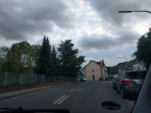

Dokumentationsstätte Regierungsbunker
Museum · 2.2 km
0 Am Silberberg, Bad Neuenahr-Ahrweiler
Apr-Oct We,Sa,Su,PH 10:00-16:30; Mar, Nov Sa, Su 11:00-15:00; Dec,...


Gedenkstätte Silberbergtunnel
Monument and historic site · 1.6 km
Die Gedenkstätte befindet sich im Ostportal des durch den Silberberg führenden Silberbergtunnels.



Bad Breisig
Monument and historic site · 12.4 km
Archaeological site in Germany

Bildstock Hemmessen
Monument and historic site · Catholic · 0.9 km
S Antonius - Got ist die Ehr der Hemeser - meine Zehr - Anno 1723
164 more on the map.
Parks, trails and playgrounds25






Freibad Ahrweiler
Sports field and stadium · 0.8 km
1 Am Schwimmbad, Bad Neuenahr-Ahrweiler

13 more on the map.
Restaurants and cafes188

Kloster Marienthal
Restaurant · 3.8 km
3 Klosterstraße, Dernau
Apr-Oct 10:30-18:30; Nov-Mar 10:30-18:00
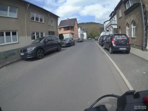
Nelles Winery
Brewery and winery · 4.7 km
13a Göppinger Straße, Bad Neuenahr-Ahrweiler
Mo-Fr 09:00-12:00,14:00-17:00; Sa 10:00-14:00
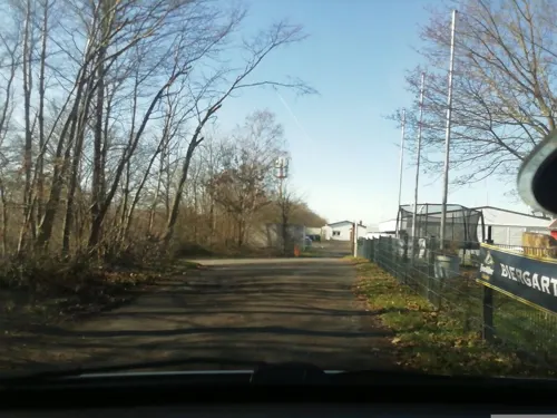
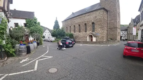

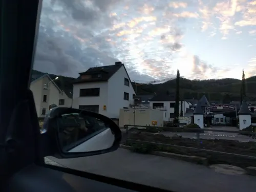
Weingut Schloßhof
Restaurant · Buschenschank · 4.9 km
49 Hauptstraße
Mo-Fr 14:00-17:00; Sa 10:00-12:00,14:00-17:00; Su 11:00-14:00
Ahr Vinum
Restaurant · Regional · 1.2 km
6 Oberhutstraße, Bad Neuenahr-Ahrweiler
Th-Fr 17:00-22:00; Sa-Su 12:00+
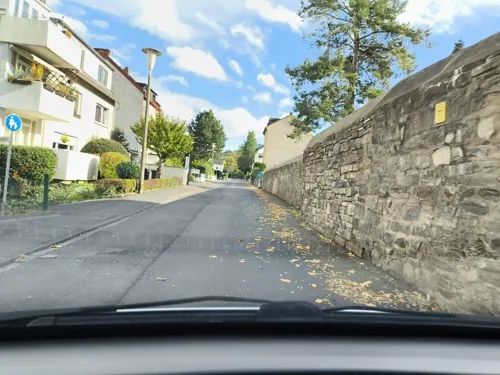
Alt Beul
Restaurant · Regional · 2.0 km
7 Schweizer Straße, Bad Neuenahr-Ahrweiler
Mo-Fr 16:00+; Sa-Su 10:30+; Tu off
China-Restaurant Mandarin
Restaurant · Chinese · 2.2 km
73 Hauptstraße, Bad Neuenahr-Ahrweiler
Mo off; Tu-Su 12:00-15:00,17:30-22:00
Culinarium
Restaurant · German, Italian, Steak House, Pizza · 4.8 km
7 Ahrweg, Dernau
We-Fr 17:30-22:00; Sa,Su 12:00-22:00; Mo,Tu off
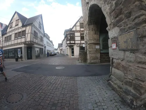


Delphi
Restaurant · Greek · 1.0 km
5 Ahrhutstraße, Bad Neuenahr-Ahrweiler
Tu-Sa 17:00-22:00; Su 12:00-15:00,17:00-22:00; PH 12:00-14:00,17:00-22:00

Dornröschens Weinstube
Bar and pub · Regional · 3.6 km
6 Jahnstraße, Bad Neuenahr-Ahrweiler
Mo-Fr 16:00+; Tu,We off; Sa 14:00+; Su 12:00+
176 more on the map.
Where to stay36
Boutiquehotel Burg Adenbach & Alter Weinbau
Motel and hotel · 1.2 km
6 Adenbachhutstraße, Bad Neuenahr-Ahrweiler
DJH Ahrtal-Jugendherberge Bad Neuenahr-Ahrweiler
Motel and hotel
7 St.-Pius-Straße, Bad Neuenahr-Ahrweiler
Försters Wein-Terrassen Ferienwohnung
Motel and hotel · 3.1 km
65 Im Teufenbach, Bad Neuenahr-Ahrweiler
Churches and places of worship48
St. Anna Kapelle
Church · Roman Catholic
2 Pfarrweg, Bad Neuenahr-Ahrweiler
St. Johannes Apostel
Church · Catholic · 5.0 km
24 Bachstraße, Dernau
St. Joseph
Church · Roman Catholic · 3.8 km
2 Kleegartenstraße, Grafschaft
Hemmesser Kapelle "Dom"
Church · Catholic · 0.9 km
77 Sebastianstraße, Bad Neuenahr-Ahrweiler
Shopping35
Gas and EV charging8
Schools, colleges and libraries23
Berufsbildende Schule des Landkreises Ahrweiler
School · 3.2 km
120 Kreuzstraße, Bad Neuenahr-Ahrweiler
Healthcare19
Orthopädische Fachklinik Kurköln
Clinic and pharmacy · 2.3 km
32-38 Landgrafenstraße, Bad Neuenahr-Ahrweiler
Map of Bad Neuenahr-Ahrweiler
250 places. The map loads OpenStreetMap tiles when you open it.
Getting there and nearby towns
Cologne Bonn Airport (CGN) is the nearest airport with scheduled flights listed in OpenStreetMap, 36 km away.
- Remagen 9 km northeast, about 9 min by car
- Sinzig 10 km east, about 10 min by car
- Wachtberg 10 km north, about 10 min by car
- Meckenheim 11 km northwest, about 11 min by car
- Bad Honnef 14 km northeast, about 14 min by car
- Rheinbach 15 km northwest, about 15 min by car
- Königswinter 16 km north, about 16 min by car
- Bonn 21 km north, about 21 min by car
- Alfter 22 km north, about 22 min by car
- Bornheim 26 km north, about 26 min by car
Drive times are estimates from straight-line distance, not routes.
Local news
Headlines from INDB.
Reviews, tips and questions
Loading what members have shared...
Sources and licences
- GeoNames (CC BY 4.0): population, coordinates, regions and time zone
- Mapillary (see each image): photos
- OpenStreetMap contributors (ODbL 1.0): places, airports, map data
- Wikidata (CC0 1.0): elevation, founding date, time zone, website, landmarks and historic places
- Wikimedia Commons (see each image): photos
- Wikipedia (CC BY-SA 4.0): overview and history text
Photo credits
- Bad Neuenahr-Ahrweiler 008x, Wolkenkratzer, CC BY-SA 4.0
- Bad Neuenahr-Ahrweiler, Germany - panoramio (1), Andre Speelmans, CC BY-SA 3.0
- General view, Römervilla (Roman Villa) at Bad Neuenahr-Ahrweiler, Germany (8134305254), Carole Raddato from FRANKFURT, Germany, CC BY-SA 2.0
- Model replica, Römervilla (Roman Villa) at Bad Neuenahr-Ahrweiler, Germany (8134277797), Carole Raddato from FRANKFURT, Germany, CC BY-SA 2.0
- Römervilla (Roman Villa) at Bad Neuenahr-Ahrweiler, Germany (8134325226), Carole Raddato from FRANKFURT, Germany, CC BY-SA 2.0
- Römervilla (Roman Villa) at Bad Neuenahr-Ahrweiler, Germany (8134306079), Carole Raddato from FRANKFURT, Germany, CC BY-SA 2.0
- Römervilla (Roman Villa) at Bad Neuenahr-Ahrweiler, Germany (8134311817), Carole Raddato from FRANKFURT, Germany, CC BY-SA 2.0
- Römervilla (Roman Villa) at Bad Neuenahr-Ahrweiler, Germany (8134344866), Carole Raddato from FRANKFURT, Germany, CC BY-SA 2.0
- Römervilla (Roman Villa) at Bad Neuenahr-Ahrweiler, Germany (8134338999), Carole Raddato from FRANKFURT, Germany, CC BY-SA 2.0
- Römervilla (Roman Villa) at Bad Neuenahr-Ahrweiler, Germany (8134358002), Carole Raddato from FRANKFURT, Germany, CC BY-SA 2.0
- Römervilla (Roman Villa) at Bad Neuenahr-Ahrweiler, Germany (8134323778), Carole Raddato from FRANKFURT, Germany, CC BY-SA 2.0
- Römervilla (Roman Villa) at Bad Neuenahr-Ahrweiler, Germany (8134287037), Carole Raddato from FRANKFURT, Germany, CC BY-SA 2.0
- Römervilla (Roman Villa) at Bad Neuenahr-Ahrweiler, Germany (8134330319), Carole Raddato from FRANKFURT, Germany, CC BY-SA 2.0
- Römervilla (Roman Villa) at Bad Neuenahr-Ahrweiler, Germany (8134336939), Carole Raddato from FRANKFURT, Germany, CC BY-SA 2.0
- Römervilla (Roman Villa) at Bad Neuenahr-Ahrweiler, Germany (8134362686), Carole Raddato from FRANKFURT, Germany, CC BY-SA 2.0
- Römervilla (Roman Villa) at Bad Neuenahr-Ahrweiler, Germany (8134322352), Carole Raddato from FRANKFURT, Germany, CC BY-SA 2.0
- Römervilla (Roman Villa) at Bad Neuenahr-Ahrweiler, Germany (8134302643), Carole Raddato from FRANKFURT, Germany, CC BY-SA 2.0
- Ludendorff Bridge from Erpeler Ley, U.S. Army Signal Corps, National Archives, Public domain
- Schauspielhaus Bad Godesberg Bonn 20210919 0005, Tilman2007, CC BY-SA 4.0
- Ahrweiler Ausweichsitz der Verfassungsorgane der Bundesrepublik Deutschland (14831342576), Morten Jensen from Randers, Denmark, CC BY 2.0
- Bad Neuenahr Bildstock6109, GFreihalter, CC BY-SA 3.0
- Häuschen (Ahrtal), Mabol!, CC BY-SA 3.0
- Ahrweiler, ehemalige Synagoge -- 2020 -- 8586, Dietmar Rabich, CC BY-SA 4.0
- Bachem (Ahr) Weinmuseum 862, GFreihalter, CC BY-SA 3.0
- Römervilla (Roman Villa) at Bad Neuenahr-Ahrweiler, Germany (8134274337), Carole Raddato from FRANKFURT, Germany, CC BY-SA 2.0
- Schloss Metternich03, Sir Gawain, CC BY-SA 4.0
- Dernau Kirche, Uwe Rohwedder, CC BY-SA 4.0
- Beller(Grafschaft)St.Joseph139, GFreihalter, CC BY-SA 3.0
- Ahrweiler, St.-Laurentius-Kirche -- 2020 -- 8582, Dietmar Rabich, CC BY-SA 4.0
- Ahrweiler weisser Turm, Norbert Schnitzler, CC BY-SA 3.0
- Bad Neuenahr Rosenkranzkirche 10, GFreihalter, CC BY-SA 3.0
- Stadtbibliothek Bad Neuenahr-Ahrweiler, Ahrtaler2, CC0
- Gedenkstätte Silberbergtunnel Tunnelportal mit Stein, Axel Hindemith, CC BY-SA 3.0
- Maria-Hilf-Kapelle auf der Landskrone Seitenansicht, Axel Hindemith, CC BY-SA 3.0
- Kloster Marienthal (Ahr) (01), Chris06, CC BY-SA 4.0
- Ahrtal Bunte Kuh, Uwe Rohwedder, CC BY-SA 4.0
- Krausbergturm, Muck, CC BY-SA 4.0
- Burg Neuenahr Burg Aussichtsturm, Axel Hindemith, CC BY-SA 3.0
- Ahrweiler, Stadtbefestigung, Ahrtor-20160426-004, Tilman2007, CC BY-SA 4.0
- Heilig-Kreuz-Kapelle Vettelhoven W, Langenbergstefan, CC BY-SA 3.0
- Bachem (Bad Neuenahr-Ahrweiler) Annakapelle 1972, GFreihalter, CC BY-SA 3.0
- Bad Neuenahr Maria-Hilf-Kapelle625, GFreihalter, CC BY-SA 3.0
- Bad Neuenahr, Landskrone 008x, Wolkenkratzer, CC BY-SA 4.0
- Stein vor der AKNZ 2, Bundesamt für Bevölkerungsschutz und Katastrophenhilfe, CC BY 4.0
- Aachen-Frankfurter Heerstraße, Hermann-Josef Mangez, CC BY-SA 4.0
- Apollinarisstadion 2025 2, Goroth, CC BY-SA 4.0
- Bad Neuenahr-Ahrweiler, Walporzheimer Straße 153-20160607-002 (bearb Sp), Tilman2007, CC BY-SA 4.0
- Lindenmühle Ahrweiler Fassade, Axel Hindemith, CC BY-SA 3.0
- Neuenahrer Berg Kuppe mit Neuenahr, Axel Hindemith, CC BY-SA 3.0
- Street-level photo, mapillary323, CC BY-SA 4.0
- Street-level photo, VIA_CH, CC BY-SA 4.0
- Street-level photo, wolly79, CC BY-SA 4.0
- Street-level photo, mapillary323, CC BY-SA 4.0
- Street-level photo, michellefritz, CC BY-SA 4.0
- Street-level photo, Stifttwoslp, CC BY-SA 4.0
- Street-level photo, Stifttwoslp, CC BY-SA 4.0
- Street-level photo, VIA_CH, CC BY-SA 4.0
- Street-level photo, Stifttwoslp, CC BY-SA 4.0
- Street-level photo, joostjakob, CC BY-SA 4.0
- Street-level photo, dcp, CC BY-SA 4.0
- Street-level photo, dcp, CC BY-SA 4.0
- Street-level photo, dcp, CC BY-SA 4.0
- Street-level photo, wolly79, CC BY-SA 4.0
- Street-level photo, wolly79, CC BY-SA 4.0
- Street-level photo, wolly79, CC BY-SA 4.0
- Street-level photo, wolly79, CC BY-SA 4.0
- Street-level photo, Stifttwoslp, CC BY-SA 4.0
- Street-level photo, Stifttwoslp, CC BY-SA 4.0
- Street-level photo, wolly79, CC BY-SA 4.0
- Street-level photo, wolly79, CC BY-SA 4.0
- Street-level photo, Stifttwoslp, CC BY-SA 4.0
- Street-level photo, mapillary323, CC BY-SA 4.0
- Street-level photo, bernd1960, CC BY-SA 4.0
- Street-level photo, bitnapper, CC BY-SA 4.0
- Street-level photo, bitnapper, CC BY-SA 4.0
- Street-level photo, VIA_CH, CC BY-SA 4.0
- Street-level photo, mapillary323, CC BY-SA 4.0
- Street-level photo, wolly79, CC BY-SA 4.0


Page built November 8, 2026. Spotted a mistake? Tell us or suggest a place.