


Why visit Bad Orb
Townapedia lists 96 museums and landmarks, 23 parks and trails, 106 places to eat, 25 places to stay and 32 attractions in and around town.
Highlights include Wartturm, Weidenhofladen, Gradierwerk and Alteburg.
Weather in Bad Orb
Forecast from MET Norway (CC BY 4.0). Full forecast
About Bad Orb
Bad Orb (German: [baːt ˈɔʁp] ; "Thermae on the Orb River") is a spa town in the Main-Kinzig-Kreis district of Hesse, Germany. It is situated 32 kilometres (20 mi) east of Hanau between the forested hills of the Spessart. Bad Orb has a population of over 10,000. Its economy is dominated by the health and tourism sectors.
From the Wikipedia article Bad Orb (this version), under CC BY-SA 4.0.
Travel tips from other travellers: Bad Orb on Wikivoyage (CC BY-SA 4.0).
Things to do32





20 more on the map.
Museums and landmarks96

Gradierwerk
Monument and historic site · 0.7 km
Technikdenkmal
12 Salinenstraße, Bad Orb
Mo-Su 08:00-20:00


Schleifrashof
Monument and historic site · 5.4 km
56a Frankfurter Straße, Bad Soden-Salmünster

Kleinstes Haus
Monument and historic site
Kleinstes Haus Hessens
23 Kirchgasse, Bad Orb


Hergersfeld
Monument and historic site · 3.8 km
Dorfwüstung im mittleren Kinzigtal, aufgegeben etwa 1400


84 more on the map.
Parks, trails and playgrounds23

Toskana Therme Bad Orb
Sports field and stadium · 0.8 km
1 Horststraße, Bad Orb
Mo-Fr 10:00-22:00; Sa 10:00-23:00; Su 10:00-22:00




11 more on the map.
Restaurants and cafes106

Jagdhaus Haselruhe
Restaurant · Regional, German · 4.2 km
Bei den Öffnungszeiten zu beachten: Mi-So geöffnet: Mittag 11:30-13:30; Kaffee 11:30-20:00; Abend 18:00-20:00 Mi-Fr Mittagspause 14:30-17:30
Haselstraße, Bad Orb
Apr-Oct: Mo,Tu off; Apr-Oct: We-Su 11:30-14:30,17:30-20:15;...
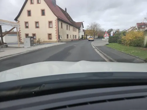
Zum Spessarttor
Restaurant · German, International · 5.3 km
44 Spessartstraße, Bad Soden-Salmünster
We-Su 11:30-14:00,17:00-22:30; PH 11:30-14:00,17:00-22:30
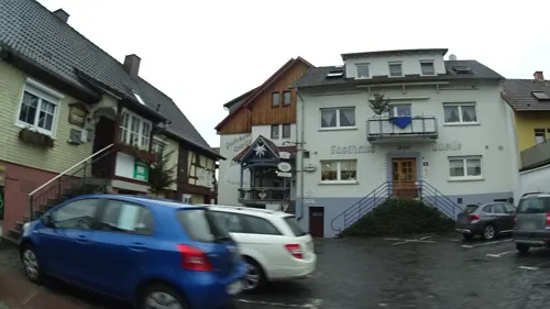
Gasthaus zur Quelle
Restaurant · German, Regional · 3.4 km
15 Leipziger Straße, Wächtersbach
Mo-Su 11:30-14:30,17:00-22:30; Th off
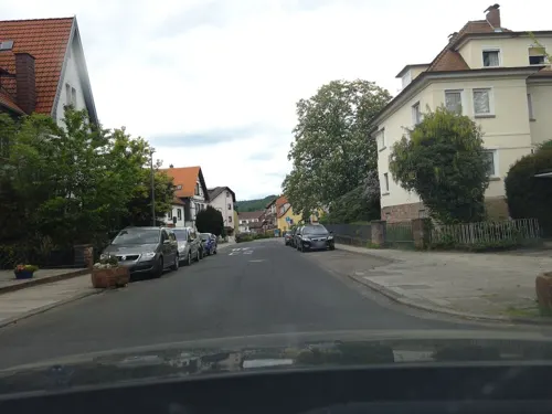
Kärrners Hausbrauerei
Restaurant · German, Regional
7 Kurparkstraße, Bad Orb
Tu-Sa 17:30-24:00; Su 17:00-24:00
Meridian Grill Restaurant
Restaurant · Grill, Turkish · 4.7 km
9 Neue Straße, Wächtersbach
Tu-Sa 17:30-22:00; Su 11:45-14:00,17:30-22:00
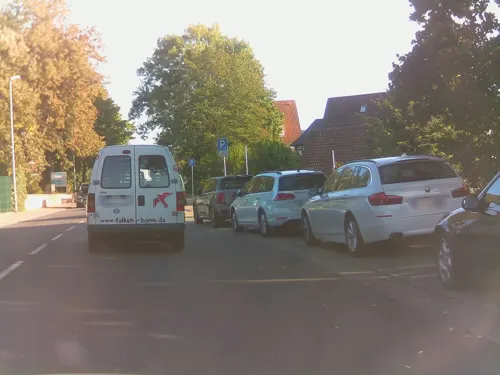


Scheune Wirtheim
Restaurant · International · 5.9 km
51 Frankfurter Straße, Biebergemünd
Th-Tu 16:30-23:00, Su,PH 10:00-23:00
Schloss e1ns
Restaurant · Regional · 5.6 km
1 Schloss, Wächtersbach
Mo-Fr 17:00-22:00; Sa 12:00-23:00; Su 11:00-21:00
Sushi Karen
Restaurant · Japanese, Sushi
59 Hauptstraße
Tu-Fr 12:00-21:00; Sa 17:00-21:30; Su 12:00-21:00
Toni's Pizzeria
Restaurant · Italian · 5.2 km
18 Bahnhofstraße, Wächtersbach
Mo-Sa 11:00-14:00,17:00-22:00; Tu off; Su 11:00-21:30
Zum Töpfchen
Restaurant · German · 5.4 km
2 Am Palmusacker, Bad Soden-Salmünster
Mo-Sa 08:30-15:00; We,Fr 08:30-20:00; Su,PH off
94 more on the map.
History
The region was inhabited by Celts by c. 650 BC, but it is not known whether they were aware of the local salt deposits.
In 1054 Henry IV, Holy Roman Emperor gifted the area around Orb (Orbaha) to the Stift St. Stefan at Mainz, it thus came under the control of the Electorate of Mainz, a part of which it remained until 1803. Bad Orb was first documented in 1059. Orb is referred to as a town for the first time in the 13th century.
Town privileges included the minting of a coin, the Orber Hälbling ("half-Pfennig of Orb"). The remains of the town wall that still exist today also originate from this time.
The historic trading route (and modern day long-distance hiking trail) Eselsweg ("donkey trail") that runs to Großheubach in the district of Miltenberg from Schlüchtern originates at Bad Orb. In the past, this route was used to transport salt to the Main.
The extraction of salt from several salt springs formed the town. There were eleven Salinen (one of which has been renovated and preserved), sometimes called "thorn houses" or "salt works", belonging in the decoction facility, in which brine dripped over a total length of 2,050 meters (6,730 ft) of blackthorn twigs in order to raise the salt concentration of the water before boiling. Salt production reached its high point in the 17th and 18th centuries.
From the History section of Bad Orb on Wikipedia, under CC BY-SA 4.0.
Where to stay25
Churches and places of worship21
Johanneskirche
Church · Protestant, Catholic · 4.7 km
8 Birkenstraße, Wächtersbach
ev. Versöhnungskirche Salmünster
Church · Protestant · 5.4 km
53 Frankfurter Straße, Bad Soden-Salmünster
Martin-Luther-Kirche
Church · Protestant · 3.3 km
13 Martin-Luther-Straße, Wächtersbach
St. Peter und Paul
Church · Catholic · 5.5 km
1 Franziskanergasse, Bad Soden-Salmünster
Zur schmerzhaften Mutter Gottes
Church · Catholic · 3.3 km
1 Leipziger Straße, Wächtersbach
Shopping30
Gas and EV charging9
Schools, colleges and libraries12
Healthcare12
Map of Bad Orb
250 places. The map loads OpenStreetMap tiles when you open it.
Getting there and nearby towns
Frankfurt Airport (FRA) is the nearest airport with scheduled flights listed in OpenStreetMap, 62 km away.
- Wächtersbach 5 km northwest, about 5 min by car
- Bad Soden-Salmünster 5 km north, about 5 min by car
- Steinau an der Straße 13 km northeast, about 13 min by car
- Mömbris 22 km southwest, about 22 min by car
- Langenselbold 23 km west, about 23 min by car
- Rodenbach 24 km west, about 24 min by car
- Hösbach 27 km south, about 27 min by car
- Erlensee 27 km west, about 27 min by car
- Goldbach 28 km southwest, about 28 min by car
- Lohr am Main 31 km southeast, about 31 min by car
Drive times are estimates from straight-line distance, not routes.
Local news
Headlines from INDB.
Reviews, tips and questions
Loading what members have shared...
Sources and licences
- GeoNames (CC BY 4.0): population, coordinates, regions and time zone
- Mapillary (see each image): photos
- OpenStreetMap contributors (ODbL 1.0): places, airports, map data
- Wikidata (CC0 1.0): elevation, founding date, time zone, website
- Wikimedia Commons (see each image): photos
- Wikipedia (CC BY-SA 4.0): overview and history text
Photo credits
- Sankt Martin (Bad Orb), Jörg Braukmann, CC BY-SA 4.0
- Patrizierhaus Nr. 30 (Bad Orb), Jörg Braukmann, CC BY-SA 4.0
- Bahnhof, 6, Bad Orb, Main-Kinzig-Kreis, GeorgDerReisende, CC BY-SA 4.0
- Burgstraße, 3, Bad Orb, Main-Kinzig-Kreis, GeorgDerReisende, CC BY-SA 4.0
- Bahnhof Bad Orb, J. Braukmann, CC BY-SA 3.0
- Bahnhof, 5, Bad Orb, Main-Kinzig-Kreis, GeorgDerReisende, CC BY-SA 4.0
- Burgstraße, 1, Bad Orb, Main-Kinzig-Kreis, GeorgDerReisende, CC BY-SA 4.0
- Burgstraße, 2, Bad Orb, Main-Kinzig-Kreis, GeorgDerReisende, CC BY-SA 4.0
- Bahnhof, 3, Bad Orb, Main-Kinzig-Kreis, GeorgDerReisende, CC BY-SA 4.0
- Bahnhof, 2, Bad Orb, Main-Kinzig-Kreis, GeorgDerReisende, CC BY-SA 4.0
- Bahnhof, 4, Bad Orb, Main-Kinzig-Kreis, GeorgDerReisende, CC BY-SA 4.0
- Bad Orb, Bahnhof (Bad Orb, railway station) - geo.hlipp.de - 17533, Helmut Zozmann on geo.hlipp.de, CC BY-SA 2.0
- Bahnhof, 1, Bad Orb, Main-Kinzig-Kreis, GeorgDerReisende, CC BY-SA 4.0
- St. Martin Bad Orb, J. Braukmann, CC BY-SA 3.0
- Bad Orb - Haus des Gastes und Museum, Jörg Braukmann, CC BY-SA 4.0
- Obertorturm (Bad Orb), Jörg Braukmann, CC BY-SA 4.0
- Sankt Martin (Bad Orb) Nordostansicht, Jörg Braukmann, CC BY-SA 4.0
- Sankt Martin (Bad Orb) Südostansicht, Jörg Braukmann, CC BY-SA 4.0
- Stadtmauer Bad Orb (2020), Jörg Braukmann, CC BY-SA 4.0
- Bahnhof, 7, Bad Orb, Main-Kinzig-Kreis, GeorgDerReisende, CC BY-SA 4.0
- Bad Orb, Rathaus, Ulrich Stelzner, Public domain
- Horst (Spessart), J. Braukmann Milseburg, CC BY-SA 3.0
- Schloss Wächtersbach, BXXXD at German Wikipedia, Public domain
- Epitaph Vogt Wirtheim, Didelu, CC BY-SA 3.0
- St. Peter und Paul (Salmünster), Bad_Soden-Salmünster_-_St._Peter_und-Paul_-_Kloster_0490.jpg : Sven Teschke derivative work: Rabanus Flavus, CC BY-SA 3.0 de
- Schleifrashof salmünster 05, Commander-pirx, CC BY-SA 4.0
- Feuchtwiesen bei Aufenau 24, Ersin Caylak, CC BY-SA 4.0
- Waldweiher bei Bad Soden-Salmünster, SergejTruschkin, CC BY-SA 4.0
- Autal bei Bad Orb, Ersin Çaylak, CC BY-SA 4.0
- NSG Altholzinsel Gretenberg 2022-03-09 10, Leonhard Lenz, CC0
- Die Alte Weide bei Neudorf in Wächtersbach 1, Ersin Caylak, CC BY-SA 4.0
- Lange Wiese bei Weilers in Wächtersbach, Ersin Caylak, CC BY-SA 4.0
- Zelleraue bei Salmünster 6, Ersin Caylak, CC BY-SA 4.0
- Kriegsgräberstätte Wegscheide, Dannori, CC BY-SA 4.0
- Wartturm (Bad Orb), Jörg Braukmann, CC BY-SA 4.0
- Wächtersbach Evangelische Kirche 2, Reinhardhauke, CC BY-SA 3.0
- Biebergemünd, Wirtheim, Kirchstraße, Kath. Kirche St. Peter und Paul-20161215-004, Tilman2007, CC BY-SA 4.0
- Aufenau Zur Schmerzhaften Muttergottes 55, Reinhardhauke, CC BY-SA 3.0
- Versöhnungskirche Bad Soden-Salmünster 20230304 0175, Tilman2007, CC BY-SA 4.0
- Bad Orb, Kirchgasse 23 20170126-003, Tilman2007, CC BY-SA 4.0
- Waechtersbach-Neudorf Johanneskirche, Dautrich, CC BY-SA 3.0
- Bad Orb, Kurpark, Salinenhaus 20170329 001, Tilman2007, CC BY-SA 4.0
- Alteburg Ringwall-rekonstruktion, Didelu, CC BY-SA 3.0
- Wiese nahe Orb-Quelle - Hessen - Deutschland, Norbert Nagel, CC BY-SA 3.0
- Wirtheim, Gaststätte "Wirtheimer Scheune", Manfred Schröter, Berga, CC BY-SA 4.0
- St.johannes-nepomuk biebergemuend, Didelu, CC BY-SA 3.0
- Aspenhainer Kopf von Süden, Bobrifax, CC BY-SA 4.0
- Bad Orb - Museum und Haus des Gastes, Jörg Braukmann, CC BY-SA 4.0
- Gretenberg Spessart 2022-03-09 15, Leonhard Lenz, CC0
- Street-level photo, DerMaster0815, CC BY-SA 4.0
- Street-level photo, ramap, CC BY-SA 4.0
- Street-level photo, igdb, CC BY-SA 4.0
- Street-level photo, ramap, CC BY-SA 4.0
- Street-level photo, ramap, CC BY-SA 4.0
- Street-level photo, igdb, CC BY-SA 4.0
- Street-level photo, ramap, CC BY-SA 4.0
- Street-level photo, igdb, CC BY-SA 4.0
- Street-level photo, ramap, CC BY-SA 4.0
- Street-level photo, chuck, CC BY-SA 4.0
- Street-level photo, chuck, CC BY-SA 4.0
- Street-level photo, Planungsgesellschaft_RV-K_EN, CC BY-SA 4.0
- Street-level photo, miguel_andrade, CC BY-SA 4.0
- Street-level photo, RVBMKK, CC BY-SA 4.0
- Street-level photo, chuck, CC BY-SA 4.0


Page built November 8, 2026. Spotted a mistake? Tell us or suggest a place.