


Baesweiler, Germany
Baesweiler is a town of 27,834 people in North Rhine-Westphalia, Germany.
Why visit Baesweiler
Townapedia lists 110 museums and landmarks, 13 parks and trails, 92 places to eat, 7 places to stay and 8 attractions in and around town.
Highlights include Koch Obst- & Gemüsehof, Cinetower, ENERGETICON and Burg Alsdorf.
Weather in Baesweiler
Forecast from MET Norway (CC BY 4.0). Full forecast
About Baesweiler
Baesweiler (German pronunciation: [ˈbaːsvaɪlɐ] ) is a municipality in the district of Aachen, North Rhine-Westphalia, Germany.
From the Wikipedia article Baesweiler (this version), under CC BY-SA 4.0.
Things to do8
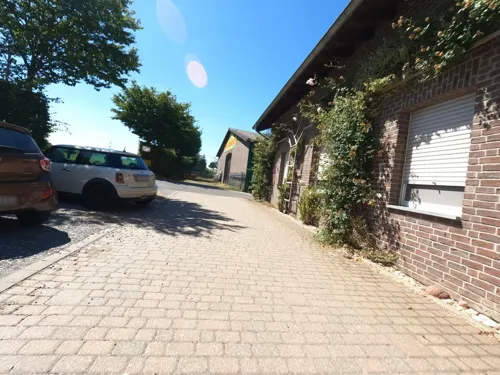
Koch Obst- & Gemüsehof
Farm and orchard · 2.1 km
20 Schwarzer Weg, Baesweiler
Mo-Th 09:00-13:00,14:30-18:00; Fr 09:00-18:00; Sa 09:00-14:00; Su,PH off


Obstbaubetrieb Roosen
Farm and orchard · 1.7 km
2 Am Beeckfließ, Baesweiler
Mo-Fr 09:00-18:00; Sa 09:00-13:00


Museums and landmarks110


Burg Alsdorf
Monument and historic site · 3.9 km
Ost- und Südflügel
17 Burgstraße, Alsdorf
Historisches Klassenzimmer
Museum · 4.7 km
9 Ringstraße, Geilenkirchen
Th 15:00-17:00; Su 15:00-17:00



Langweiler
Monument and historic site · 5.5 km
Archaeological site in the Merzbach Valley of Western Germany


Burg Dürboslar
Monument and historic site · 4.8 km
26 Burgstraße, Aldenhoven

Haus Immendorf
Monument and historic site · 4.8 km
Baujahr: 1789; vierflügelige Backstein - Hofanlage, Wohnhaus zweigeschossig in zwei zu vier Achsen, verputzt, Mansarddach; am Wohnhaus...
21 Ringstraße, Geilenkirchen

Johannes Rau Kultur- und Bildungszentrum
Monument and historic site · 4.7 km
Ehemalige Elektrohauptwerkstatt
2 Carl-von-Ossietzky-Straße, Alsdorf
98 more on the map.
Parks, trails and playgrounds13

Freibad Merkstein
Sports field and stadium · 4.8 km
Kostenfreie Parkplätze sind reichlich vorhanden.
Buschhofer Weg, Herzogenrath
May Mo-Su 07:00-20:00



Feuchtbiotopkomplex "Bocksbart" am Freialdenhovener Fließ
Hiking and trails · 3.9 km



1 more on the map.
Restaurants and cafes92
Cap 1
Restaurant · International · 1.5 km
1 Carl-Alexander-Platz, Baesweiler
Tu-Th 11:30-22:00; Fr 11:30-23:00; Sa 09:00-23:00; Su 09:00-22:00
Eduard Bistro&Restaurant
Restaurant · International, Italian, Turkish · 4.9 km
7 Konrad-Adenauer-Allee, Alsdorf
Mo off; Tu-Su 11:00-22:00
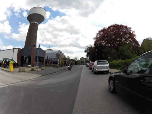
Eisfreunde Alsdorf
Restaurant · Ice Cream · 4.1 km
13 Hubertusstraße, Alsdorf
Mo-We off; Th-Sa 14:00-20:00; Su 13:00-20:00

Ristorante Pizzeria PANTALICA
Restaurant · Italian · 4.0 km
5 Castorstraße, Alsdorf
We-Su,PH 17:30-23:00
Sultan Restaurant
Restaurant · Turkish · 3.6 km
62 Roermonder Straße, Übach-Palenberg
Mo-Sa 11:30-23:00; Su 09:00-23:00
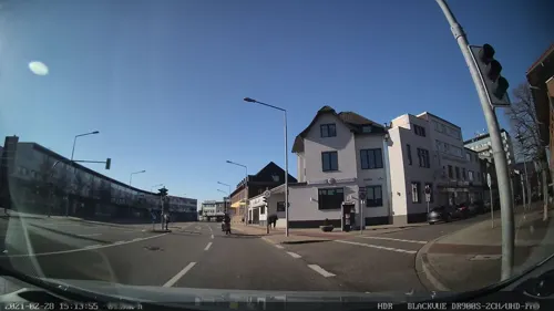
Amadeus
Restaurant · 4.4 km
2-4 Annastraße, Alsdorf
We-Sa 17:30-24:00; Su 12:00-15:00,17:30-24:00; Mo,Tu off
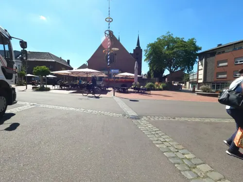
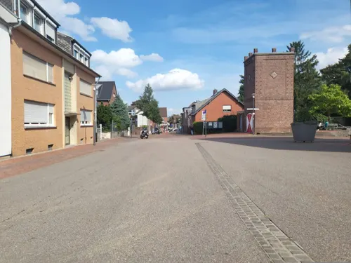
Don Kebap Alsdorf
Restaurant · Turkish, American · 4.3 km
18 Luisenstraße, Alsdorf
Mo-Th 11:30-22:30; Fr-Sa 11:30-23:00; Su 11:30-22:30
Landcafé Haus Immendorf
Cafe · 4.8 km
Ringstraße, Geilenkirchen
Mo-Sa 07:00-18:00; Tu off; Su,PH 08:00-18:00


80 more on the map.
History
On 22 August 1371, the Battle of Baesweiler took place between the armies of duke Wenceslaus I of Brabant on one hand, and dukes William II of Jülich and Edward of Guelders on the other. Wenceslaus suffered a humiliating defeat, and was captured by William II of Jülich afterwards. Edward of Guelders was killed not soon after the battle was over.
From the History section of Baesweiler on Wikipedia, under CC BY-SA 4.0.
Where to stay7
House of meeting Schoenstatt Works in the Diocese of Aachen
Motel and hotel · 3.8 km
19 Schönstattstraße, Baesweiler
Churches and places of worship34
Pfarrkirche St. Peter
Church · Roman Catholic · 4.9 km
Dürener Straße, Geilenkirchen
St. Willibrordus
Church · Catholic · 2.3 km
2 Beggendorfer Straße, Baesweiler
Shopping32
Gas and EV charging13
Schools, colleges and libraries25
Healthcare15
Map of Baesweiler
250 places. The map loads OpenStreetMap tiles when you open it.
Getting there and nearby towns
Flugplatz Würselen-Aachen (AAH) is the nearest airport with scheduled flights listed in OpenStreetMap, 10 km away.
- Übach-Palenberg 5 km west, about 5 min by car
- Herzogenrath 8 km southwest, about 8 min by car
- Geilenkirchen 8 km northwest, about 8 min by car
- Linnich 10 km northeast, about 10 min by car
- Würselen 11 km south, about 11 min by car
- Eschweiler 12 km southeast, about 12 min by car
- Jülich 12 km east, about 12 min by car
- Aachen 17 km southwest, about 17 min by car
- Stolberg 15 km south, about 15 min by car
- Langerwehe 15 km southeast, about 15 min by car
Drive times are estimates from straight-line distance, not routes.
Local news
Headlines from INDB.
Reviews, tips and questions
Loading what members have shared...
Sources and licences
- GeoNames (CC BY 4.0): population, coordinates, regions and time zone
- Mapillary (see each image): photos
- OpenStreetMap contributors (ODbL 1.0): places, airports, map data
- Wikidata (CC0 1.0): elevation, founding date, time zone, website, landmarks and historic places
- Wikimedia Commons (see each image): photos
- Wikipedia (CC BY-SA 4.0): overview and history text
Photo credits
- WK Buschstraße-Roskaul, Baesweiler (1), ArthurMcGill, CC BY-SA 4.0
- WK Buschstraße-Roskaul, Baesweiler (2), ArthurMcGill, CC BY-SA 4.0
- Baesweiler (Oidtweiler) Kapellchen (Sebastianuskapelle) Kreuzung Kapellenstraße, Aachener Straße., Eschweilerstraße (1 von 3), Qwertzu111111, CC BY-SA 4.0
- Baesweiler (Oidtweiler) Kapellchen (Sebastianuskapelle) Kreuzung Kapellenstraße, Aachener Straße., Eschweilerstraße (2 von 3), Qwertzu111111, CC BY-SA 4.0
- Baesweiler (Oidtweiler) Kapellchen (Sebastianuskapelle) Kreuzung Kapellenstraße, Aachener Straße., Eschweilerstraße (3 von 3), Qwertzu111111, CC BY-SA 4.0
- Stolpersteine in Baesweiler; Bahnhofstraße 13, Johanna Randerath, geb. Keller; February 2026 in Baesweiler, Qwertzu111111, CC BY-SA 4.0
- Stolpersteine in Baesweiler; Bahnhofstraße 13, David Randerath; February 2026 in Baesweiler, Qwertzu111111, CC BY-SA 4.0
- Stolpersteine in Baesweiler; Bahnhofstraße 13, David, Josefine, Johanna Randerath, February 2026 in Baesweiler, Qwertzu111111, CC BY-SA 4.0
- Stolpersteine in Baesweiler; Bahnhofstraße 13, David, Josefine, Johanna Randerath; February 2026 in Baesweiler, Qwertzu111111, CC BY-SA 4.0
- Stolpersteine in Baesweiler; Bahnhofstraße 13, Josefine Randerath, geb. Coopmann; February 2026 in Baesweiler, Qwertzu111111, CC BY-SA 4.0
- Burg Alsdorf Ostansicht, Sir Gawain, CC BY-SA 3.0
- Burg Baesweiler, Christian Faulhammer, CC BY-SA 2.5
- Burg Dürboslar1-4, Burg_Dürboslar1.jpg : Eschweiler derivative work: Saibo ( Δ ), Public domain
- KommendeSiersdorfNordost, Sir Gawain, CC BY-SA 3.0
- Kirche St Peter Immendorf, Klaus Littmann, CC BY-SA 3.0
- Grube Anna, Schmiede (3), ArthurMcGill, CC BY-SA 4.0
- St. Johannes der Täufer (Siersdorf) (02), Chris06, CC BY-SA 4.0
- St. Nikolaus (Schleiden) 01, Thomas Hummel, CC BY-SA 4.0
- Oidtweiler Kirche, Lokilech, CC BY-SA 3.0
- Naturschutzgebiet Bergehalde Maria-Hauptschacht (4), ArthurMcGill, CC BY-SA 4.0
- Graureiher im NSG Bergsenkungsgebiet Bettendorfer Fliess, Second-petra, CC BY-SA 4.0
- Stolpersteine Baesweiler Bahnhofstraße 13 David Randerath (Detail), Qwertzu111111, CC BY-SA 4.0
- Stolpersteine Baesweiler Breite Straße 17 Herschel Falke (Detail), Qwertzu111111, CC BY-SA 4.0
- Wasserturm Alsdorf (1), ArthurMcGill, CC BY-SA 4.0
- Baesweiler Kirche, Lokilech, CC BY-SA 3.0
- Burg Alsdorf Suedostansicht, Sir Gawain, CC BY-SA 3.0
- Baesweiler Burg (6), Lokilech, CC BY-SA 3.0
- Stolpersteine Baesweiler Breite Straße 17 Simon Falke (Detail), Qwertzu111111, CC BY-SA 4.0
- Grube Anna, Elektrohauptwerkstatt (1), ArthurMcGill, CC BY-SA 4.0
- Carl-Alexander-Park, Baesweiler (16), ArthurMcGill, CC BY-SA 4.0
- Loverich Willibrorduskirche Front, Norbert Schnitzler, CC BY-SA 3.0
- Puffendorf, bodoklecksel, CC BY-SA 3.0
- Beggendorf Kirche (1), Lokilech, CC BY-SA 3.0
- St. Mariä Heimsuchung (Schaufenberg), Thomas Hummel, CC BY-SA 4.0
- Setterich Kirche (3), Lokilech, CC BY-SA 3.0
- KommendeSiersdorfOst, Sir Gawain, CC BY-SA 3.0
- Baesweiler Haus (2), Lokilech, CC BY-SA 3.0
- St. Johannes der Täufer (Siersdorf) (03), Chris06, CC BY-SA 4.0
- Litschrede Schlawiner Burgwinkel, Koelner50, CC BY-SA 3.0
- Oidtweiler Kapellchen, Lokilech, CC BY-SA 3.0
- Haus Immendorf, Klaus Littmann, CC BY-SA 3.0
- Street-level photo, hektor1989, CC BY-SA 4.0
- Street-level photo, madel, CC BY-SA 4.0
- Street-level photo, hektor1989, CC BY-SA 4.0
- Street-level photo, madel, CC BY-SA 4.0
- Street-level photo, hektor1989, CC BY-SA 4.0
- Street-level photo, hektor1989, CC BY-SA 4.0
- Street-level photo, thmunichways, CC BY-SA 4.0
- Street-level photo, hektor1989, CC BY-SA 4.0
- Street-level photo, hektor1989, CC BY-SA 4.0
- Street-level photo, hektor1989, CC BY-SA 4.0
- Street-level photo, hektor1989, CC BY-SA 4.0
- Street-level photo, hektor1989, CC BY-SA 4.0
- Street-level photo, hektor1989, CC BY-SA 4.0
- Street-level photo, madel, CC BY-SA 4.0
- Street-level photo, paddy257, CC BY-SA 4.0
- Street-level photo, madel, CC BY-SA 4.0
- Street-level photo, madel, CC BY-SA 4.0
- Street-level photo, madel, CC BY-SA 4.0
- Street-level photo, hektor1989, CC BY-SA 4.0
- Street-level photo, hektor1989, CC BY-SA 4.0
- Street-level photo, thomas_munichways, CC BY-SA 4.0
- Street-level photo, hektor1989, CC BY-SA 4.0
- Street-level photo, hektor1989, CC BY-SA 4.0
- Street-level photo, madel, CC BY-SA 4.0
- Street-level photo, madel, CC BY-SA 4.0
- Street-level photo, hektor1989, CC BY-SA 4.0
- Street-level photo, hektor1989, CC BY-SA 4.0


Page built November 8, 2026. Spotted a mistake? Tell us or suggest a place.