


Herzogenrath, Germany
Herzogenrath is a town of 47,381 people in North Rhine-Westphalia, Germany.
Why visit Herzogenrath
Townapedia lists 210 museums and landmarks, 42 parks and trails, 134 places to eat, 6 places to stay and 15 attractions in and around town.
Highlights include Tierpark Alsdorfer Weiher, Cinetower, ENERGETICON and Burg Alsdorf.
Weather in Herzogenrath
Forecast from MET Norway (CC BY 4.0). Full forecast
About Herzogenrath
Herzogenrath (Ripuarian: Herzeroa; Limburgish: Hertseraoj; Dutch: 's-Hertogenrade) is a municipality in the district of Aachen in the German state of North Rhine-Westphalia. It borders the Dutch town of Kerkrade, the national border in one section running along the middle of a main road and even directly through the centre of the cross-border Eurode office complex.
From the Wikipedia article Herzogenrath (this version), under CC BY-SA 4.0.
Travel tips from other travellers: Herzogenrath on Wikivoyage (CC BY-SA 4.0).
Photos of Herzogenrath


Things to do15



Amstelbachterrasse
Scenic view · 3.9 km
Sicht über das Amstelbachtal bis hin zum Vennvorland und Niederlande


Minis-Hof
Farm and orchard · 1.3 km
138 Geilenkirchener Straße, Herzogenrath
3 more on the map.
Museums and landmarks210


Burg Alsdorf
Monument and historic site · 4.9 km
Ost- und Südflügel
17 Burgstraße, Alsdorf

Burg Rode
Monument and historic site
Anlage mit Turm u. Befestigungsanlage, Rundturm 4-geschossig mit Sockelschräge u. Hausteingesims


Schloß Rimburg
Monument and historic site · 5.0 km
Im 13. Jahrhundert wurde die Anlage nach einer Zerstörung in der Fehde zwischen Limburg und Brabant wieder errichtet, mit vier...
7 Schloß Rimburg, Übach-Palenberg

Alsdorfer Ölmühle
Monument and historic site · 3.7 km
Ehemalige wasserbetriebene Ölmühle, erbaut vor 1420


Fördermaschinenhaus Eduardschacht
Monument and historic site · 3.7 km
Fördermaschienenhaus Eduardschacht, Östl. Fördermaschine und Umformer


Johannes Rau Kultur- und Bildungszentrum
Monument and historic site · 4.1 km
Ehemalige Elektrohauptwerkstatt
2 Carl-von-Ossietzky-Straße, Alsdorf


Bahnhof
Monument and historic site
Hauptgebäude 2-geschossig, dessen Satteldächer sich durchdringen mit 3-achsigen OG. Im UG Achsenfolge verändert. Rechts 2-geschossiger...
15 Bahnhofstraße, Herzogenrath
198 more on the map.
Parks, trails and playgrounds42


Gehölzbestand mit Graureiherkolonie nordwestlich Ofden
Hiking and trails · 3.8 km

Laub- und Auenwaldgebiet bei Herzogenrath westlich Pannesheide im Amstelbachtal
Hiking and trails · 3.4 km

Freibad Merkstein
Sports field and stadium · 3.4 km
Kostenfreie Parkplätze sind reichlich vorhanden.
Buschhofer Weg, Herzogenrath
May Mo-Su 07:00-20:00



30 more on the map.
Restaurants and cafes134
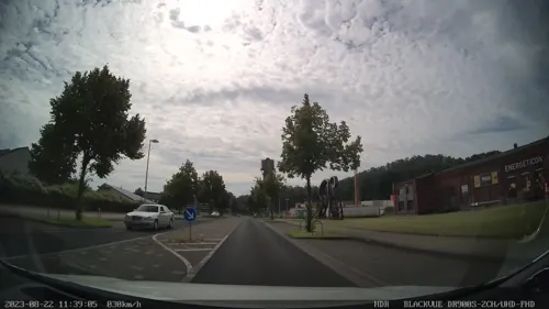
Eduard Bistro&Restaurant
Restaurant · International, Italian, Turkish · 3.8 km
7 Konrad-Adenauer-Allee, Alsdorf
Mo off; Tu-Su 11:00-22:00
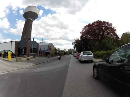
Eisfreunde Alsdorf
Restaurant · Ice Cream · 5.1 km
13 Hubertusstraße, Alsdorf
Mo-We off; Th-Sa 14:00-20:00; Su 13:00-20:00
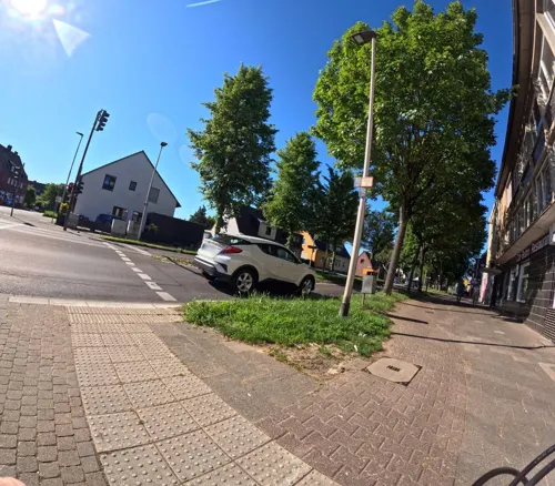
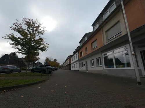
Fräulein Sahne
Cafe · Coffee Shop · 2.4 km
375 Geilenkirchener Straße, Herzogenrath
We-Fr 09:00-17:00,13:30-13:30; Sa-Su 10:00-17:30; PH closed
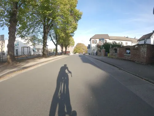
Haus Goertz
Restaurant · German · 3.0 km
34 Schulstraße, Herzogenrath
Tu-Sa 17:30-00:00; Su 10:00-14:00,17:30-00:00
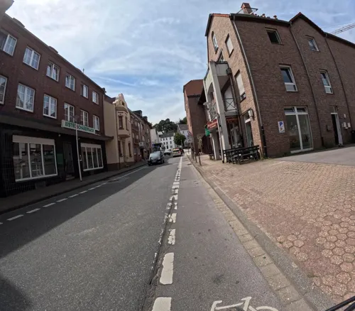
O'Português
Restaurant · Portuguese
42 Kleikstraße, Herzogenrath
Mo,We-Sa 18:00+; Su 11:30-21:00; Tu off
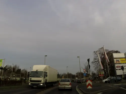
Pizzeria Pipavido
Restaurant · Italian · 4.0 km
174 Roermonder Straße, Herzogenrath
Tu-Sa 11:30-15:00,17:30-22:30; Su 11:30-22:30


Kaisergarten
Restaurant · Asian · 4.1 km
2 Industriestraße, Herzogenrath
Mo-Sa 11:30-15:00, 17:30-23:30;Su,PH 11:30-23:30
Living
Restaurant · German, Burger, Pizza · 4.1 km
46 Theodor-Seipp-Straße, Alsdorf
Mo,We,Th 09:00-21:00; Fr,Sa 09:00-21:30; Su 10:00-23:00; Tu 09:00-15:30
Ristorante Pizzeria PANTALICA
Restaurant · Italian · 5.0 km
5 Castorstraße, Alsdorf
We-Su,PH 17:30-23:00
Roni Grillhaus
Restaurant · Mediterranean, German · 3.7 km
41 Oststraße, Herzogenrath
Mo off; Tu-Fr 14:00-23:00; Sa-Su,PH 12:00-23:00
122 more on the map.
History
Herzogenrath began in the 11th century as a settlement called Rode near the river Wurm. In 1104, Augustinian monks founded an abbey, called Kloosterrade, to the west of this settlement.
It became 's-Hertogenrode or 's-Hertogenrade (Dutch: the Duke's Rode) after the Duchy of Brabant took control of the region; in French it was called Rolduc (Rode-le-Duc).
As is the case for many parts of Duchy of Brabant, Herzogenrath changed hands several times in the last few centuries. Together with the rest of the Southern Netherlands, it was under Spanish control from 1661, Austrian between 1713 and 1795 and French between 1795 and 1813. In 1815, when the Kingdom of the Netherlands was formed under the terms of the Vienna Congress, the border was drawn through the town, the eastern part being Prussian Herzogenrath and the western part Dutch Kerkrade. The former abbey is now the Rolduc Congress Center in Kerkrade.
During World War I, the Germans erected a fortification along the border street for the first time; although it was dismantled at the end of the war, it was reconstructed again at the beginning of World War II. Following the end of that war, the border fortifications were reduced at various times, although they were not fully dismantled until the early 1990s preparations for the Schengen Area.
Read more of the history
The two towns now share some of their public services, and promote themselves as a binational "City of Eurode" for economic development purposes.
From the History section of Herzogenrath on Wikipedia, under CC BY-SA 4.0.
More about Herzogenrath
Economy
Until the 1950s, Herzogenrath's economy was dominated by coal mines and a nearby coking plant. While some remains of the mining industry still form parts of the landscape in the form of overgrown slag heaps, today's Herzogenrath has moved into other industries. Large-scale employers include Saint-Gobain, Aixtron, Vetrotex (textile glass) and Ericsson Eurolab (electronics). The city hosts a number of electronics start-ups, profiting from the neighbouring Technical University RWTH Aachen.
Arts and culture
In addition to Standard German, many inhabitants of Herzogenrath speak the Kerkrade dialect, a Ripuarian variety also spoken on the other side of the border in Kerkrade.
From the Wikipedia article Herzogenrath, under CC BY-SA 4.0.
Notable people from Herzogenrath
- Peter SendscheidGerman association football player
- Josef-Hubert AdrianGerman soldier and Knight's Cross recipient (1911–1945)
Born in Herzogenrath, according to Wikidata (CC0). Each name links to its Wikipedia article.
Where to stay6
Churches and places of worship37
Shopping33
Gas and EV charging16
Schools, colleges and libraries29
Healthcare19
Map of Herzogenrath
250 places. The map loads OpenStreetMap tiles when you open it.
Getting there and nearby towns
Flugplatz Würselen-Aachen (AAH) is the nearest airport with scheduled flights listed in OpenStreetMap, 8 km away.
- Alsdorf 5 km east, about 5 min by car
- Übach-Palenberg 6 km north, about 6 min by car
- Würselen 6 km southeast, about 6 min by car
- Baesweiler 8 km northeast, about 8 min by car
- Aachen 10 km south, about 10 min by car
- Geilenkirchen 11 km north, about 11 min by car
- Niedermerz 12 km east, about 12 min by car
- Eschweiler 14 km southeast, about 14 min by car
- Stolberg 14 km southeast, about 14 min by car
- Aldenhoven 14 km east, about 14 min by car
Drive times are estimates from straight-line distance, not routes.
Towns near Herzogenrath


Keep exploring
Local news
Headlines from INDB.
Reviews, tips and questions
Loading what members have shared...
Sources and licences
- GeoNames (CC BY 4.0): population, coordinates, regions and time zone
- Mapillary (see each image): photos
- OpenStreetMap contributors (ODbL 1.0): places, airports, map data
- Wikidata (CC0 1.0): elevation, founding date, time zone, website, landmarks and historic places
- Wikimedia Commons (see each image): photos
- Wikipedia (CC BY-SA 4.0): overview and history text
Photo credits
- Herzogenrath, Burg Rode foto4 2011-09-27 12.38, Michielverbeek, CC BY-SA 3.0
- Herzogenrath, Katholische Pfarrkirche Sankt Mariä Himmelfahrt, Michielverbeek, CC BY-SA 4.0
- Herzogenrath Moses, Kurt-Wolf Borries, CC BY-SA 3.0
- Bockreiterbrunnen Herzogenrath, Tohma ( talk ), CC BY-SA 4.0
- Herzogenrath Ferdinand-Schmetz-Platz, Tohma ( talk ), CC BY-SA 4.0
- St. Maria Himmelfahrt, Herzogenrath, Qwertzu111111, CC BY-SA 4.0
- Bücherregal Herzogenrath Städteregion Aachen Public bookcases in the Städterregion Aachen, Herzogenrath (02), Qwertzu111111, CC BY-SA 4.0
- Bücherregal Herzogenrath Städteregion Aachen Public bookcases in the Städterregion Aachen, Herzogenrath, Qwertzu111111, CC BY-SA 4.0
- St. Mariä Himmelfahrt Herzogenrath Pfarrhaus, Tohma ( talk ), CC BY-SA 4.0
- Herzogenrath , straatzicht der Ferdinand Schmetz Platz foto6 2015-08-30 12.38, Michielverbeek, CC BY-SA 4.0
- Konsolstein Bahnhofsgebäude Herzogenrath, Mozamaniac, CC BY-SA 4.0
- Bf Herzogenrath, ACBahn, CC BY-SA 3.0
- Bf Herzogenrath Fahrkarten, ACBahn, CC BY-SA 3.0
- Bahnhof Herzogenrath Empfangsgebäude, Tohma ( talk ), CC BY-SA 4.0
- Herzogenrath station 2018, Smiley.toerist, CC BY-SA 4.0
- Herzogenrath-Burg Rode4, Romaine, CC0
- Uitzicht over Herzogenrath, Romaine, CC0
- Herzogenrath station 2023 3, Smiley.toerist, CC BY-SA 4.0
- Burg Rode, Herzogenrath 2026-08 DE-NW, Kaap bij Sneeuw, CC0
- Bf Herzogenrath Gleis 1 und 55, ACBahn, CC BY-SA 3.0
- Herzogenrath-Burg Rode3, Romaine, CC0
- Herzogenrath, Burg Rode, Michielverbeek, CC BY-SA 4.0
- Herzogenrath-Burg Rode1, Romaine, CC0
- Herzogenrath-Burg Rode2, Romaine, CC0
- Heiligenhäuschen Herzogenrath, Tohma ( talk ), CC BY-SA 4.0
- Pfarrhaus St. Gertrud Herzogenrath, Tohma ( talk ), CC BY-SA 4.0
- Innenraum St. Gertrud Herzogenrath, Tohma ( talk ), CC BY-SA 4.0
- 2022 Herzogenrath, Bahnhof, Kleon3, CC BY-SA 4.0
- Glockenturm St. Gertrud Herzogenrath, Tohma ( talk ), CC BY-SA 4.0
- RB 33 Herzogenrath, ACBahn, CC BY-SA 3.0
- ICE Herzogenrath, ACBahn, CC BY-SA 3.0
- ICE Herzogenrath Bf, ACBahn, CC BY-SA 3.0
- Thalys Herzogenrath, ACBahn, CC BY-SA 3.0
- RB 33 Bahnhof Herzogenrath, Tohma ( talk ), CC BY-SA 4.0
- Schmetz Herzogenrath, Tohma ( talk ), CC BY-SA 4.0
- Wayside crosses in Herzogenrath 2, Qwertzu111111, CC BY-SA 4.0
- Wayside crosses in Herzogenrath 3, Qwertzu111111, CC BY-SA 4.0
- Burg Alsdorf Ostansicht, Sir Gawain, CC BY-SA 3.0
- Abdij Rolduc luchtfoto, LeonieCurvers, CC BY-SA 4.0
- BurgRode pano6, LoKiLeCh, CC BY 3.0
- Innenhof Burg Wilhelmstein, Würselen-Bardenberg, Unknown author Unknown author, CC BY-SA 4.0
- Merkstein, Pfarrkirche Sankt Willibrord Dm000115 - 01 foto4 2016-09-08 15.19, Michielverbeek, CC BY-SA 4.0
- St. Peter und Paul (Bardenberg) 04, Qwertzu111111, CC BY-SA 4.0
- Streichelzoo im Alsdorfer Tierpark - geo-en.hlipp.de - 12295, Andreas Hörstemeier, CC BY-SA 2.0
- Houten beeld - Kerkrade - 20035410 - RCE, G.Th. Delemarre, CC BY-SA 4.0
- Grube Anna, Schmiede (3), ArthurMcGill, CC BY-SA 4.0
- NSG Gehölzbestand mit Graureiherkolonie nordwestlich Ofden (3), ArthurMcGill, CC BY-SA 4.0
- Naturschutzgebiet Rimburger Busch und Kanualbusch (2), ArthurMcGill, CC BY-SA 4.0
- NSG Bergehalde Anna II (5), ArthurMcGill, CC BY-SA 4.0
- NSG Bergehalde Anna I (1), ArthurMcGill, CC BY-SA 4.0
- HR 91 Pfarrkirche St-Josef, Norbert Kirchhoff, CC BY-SA 3.0
- Herzogenrath, katholische Pfarrkirche Sankt Gertrudis Dm000001-01 foto4 2015-08-30 12.31, Michielverbeek, CC BY-SA 4.0
- Wasserturm Alsdorf (1), ArthurMcGill, CC BY-SA 4.0
- Burg Alsdorf Suedostansicht, Sir Gawain, CC BY-SA 3.0
- Schloss Rimburg (14), Lokilech, CC BY-SA 3.0
- 186 Alsdorfer Ölmühle, Wohn- und Wirtschaftshaus, Käthe u. Bernd Limburg, www.limburg-bernd.de, CC BY-SA 3.0 de
- Grube Anna, Fördermaschinenhaus Eduardschacht, ArthurMcGill, CC BY-SA 4.0
- Grube Furth, ArthurMcGill, CC BY 3.0
- Grube Anna, Elektrohauptwerkstatt (1), ArthurMcGill, CC BY-SA 4.0
- Regenwolke über der Eifel (9335950015), Lars Steffens, CC BY-SA 2.0
- Wald und Wiese am Amstelbach, Ahoerstemeier, CC BY-SA 4.0
- Westfassade von St. Katharina (Kohlscheid) mit Sandsteinverblendung, Putz und Skulputrenschmuck, Riode1969, CC BY-SA 3.0
- St. Barbara (Pannesheide) 03, Thomas Hummel, CC BY-SA 4.0
- Antoniuskapelle, Würselen-Pley (8), ArthurMcGill, CC BY-SA 4.0
- St. Heinrich, AC-Horbach (7), ArthurMcGill, CC BY-SA 4.0
- Markuskirche Herzogenrath Mitte von der Evangelischen Lydia-Gemeinde Herzogenrath, Qwertzu111111, CC BY-SA 4.0
- Street-level photo, madel, CC BY-SA 4.0
- Street-level photo, hektor1989, CC BY-SA 4.0
- Street-level photo, madel, CC BY-SA 4.0
- Street-level photo, FahrradstadtAachen, CC BY-SA 4.0
- Street-level photo, FahrradstadtAachen, CC BY-SA 4.0
- Street-level photo, madel, CC BY-SA 4.0
- Street-level photo, madel, CC BY-SA 4.0
- Street-level photo, madel, CC BY-SA 4.0
- Street-level photo, FahrradstadtAachen, CC BY-SA 4.0
- Street-level photo, madel, CC BY-SA 4.0
- Street-level photo, madel, CC BY-SA 4.0
- Street-level photo, madel, CC BY-SA 4.0
- Street-level photo, hektor1989, CC BY-SA 4.0
- Street-level photo, madel, CC BY-SA 4.0
- Street-level photo, madel, CC BY-SA 4.0
- Street-level photo, madel, CC BY-SA 4.0
- Street-level photo, madel, CC BY-SA 4.0
- Street-level photo, madel, CC BY-SA 4.0
- Street-level photo, madel, CC BY-SA 4.0
- Street-level photo, madel, CC BY-SA 4.0
- Street-level photo, madel, CC BY-SA 4.0
- Street-level photo, madel, CC BY-SA 4.0
- Street-level photo, madel, CC BY-SA 4.0
- Street-level photo, madel, CC BY-SA 4.0


Page built November 9, 2026. Spotted a mistake? Tell us or suggest a place.