


Why visit Balingen
Townapedia lists 36 museums and landmarks, 65 parks and trails, 140 places to eat, 9 places to stay and 29 attractions in and around town.
Highlights include Böllat, Gespaltener Fels, Museum für Waagen und Gewichte and Schalksburg.
Weather in Balingen
Forecast from MET Norway (CC BY 4.0). Full forecast
About Balingen
Balingen (German pronunciation: [ˈbaːlɪŋən] ; Swabian: Balenga) is a town in Baden-Württemberg, Germany, capital of the district of Zollernalbkreis. It is located near the Swabian Jura, approximately 35 km to the south of Tübingen, 35 km northeast of Villingen-Schwenningen, and 70 km south southwest of Stuttgart.
From the Wikipedia article Balingen (this version), under CC BY-SA 4.0.
Things to do29




Geflügel Fecker
Farm and orchard · 4.5 km
1 Lange Wiesen
Tu-Fr 08:00-18:00; Sa 08:00-12:00


Hofladen Auf'm Berg
Farm and orchard · 7.5 km
1, Albstadt
Mo-Fr 09:00-20:00 open "Auf Anfrage geöffnet, bitte einfach...
17 more on the map.
Museums and landmarks36





Hohenzollern Castle
Museum · 9.9 km
Ancestral seat of the imperial House of Hohenzollern in the Swabian Alps of central Baden-Württemberg, Germany

Kloster Binsdorf
Monument and historic site · Catholic · 7.7 km
14 Klosterstraße, Geislingen


Zollernschloss Balingen
Monument and historic site
6 Schloßstraße, Balingen


24 more on the map.
Parks, trails and playgrounds65

Eyachbad
Sports field and stadium
27 Charlottenstraße, Balingen
Mo 14:00-21:30; Tu 06:00-18:00; We 07:30-21:30; Th 06:00-21:30; Fr...
Kunsteisbahn
Sports field and stadium · 1.6 km
11 Wasserwiesen, Balingen
Mo,Tu,Th 14:00-16:45; We,Fr 14:00-16:45,18:45-21:00; Sa...
Lochenbad
Sports field and stadium · 4.2 km
34 Stollenau, Weilstetten
Mo,We-Fr,Su,PH off; Tu 18:00-21:30; Sa 14:00-18:00
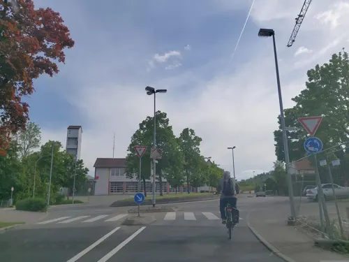
BEROLINO Spielewelt
Sports field and stadium · 1.9 km
30 Am Bangraben, Balingen
Mo-Fr 14:00-19:00; Sa-Su,PH 10:00-19:00
Seerosengarten
Sports field and stadium · 4.2 km
1 Kornen, Balingen
Th-Fr 14:00-22:00; Sa,Su,PH 10:00-22:00; Mo-We Off


53 more on the map.
Restaurants and cafes140

Brücke
Restaurant · Chinese
16 Alte Hechinger Straße, Balingen
Th-Tu 11:30-14:30, Th-Mo 17:30-21:30; We off
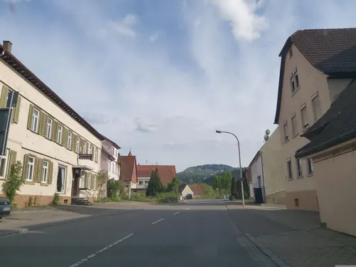
Catrina
Restaurant · German · 4.6 km
55 Ebinger Straße, Balingen
Mo-Sa 06:30-19:00; Su 09:00-19:00; PH unknown

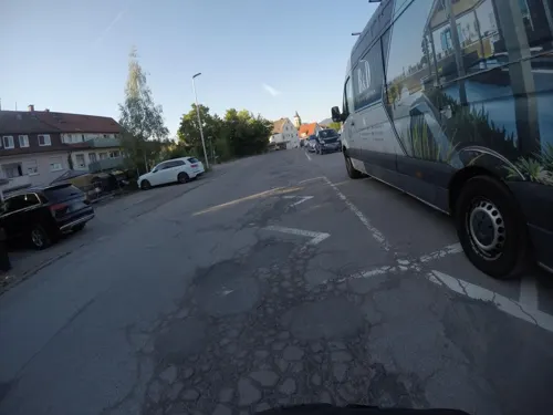

Krokodil
Restaurant · Regional · 1.8 km
20 Grünewaldstraße, Balingen
Mo-Th 09:00-23:00, Fr,Sa 09:00-01:00, Su 09:00-23:00
La Taverna
Restaurant · Italian
23 Wilhelmstraße, Balingen
Mo-Sa 11:45-14:00,17:45-22:30; Su 11:45-14:00,17:00-22:00; Tu off
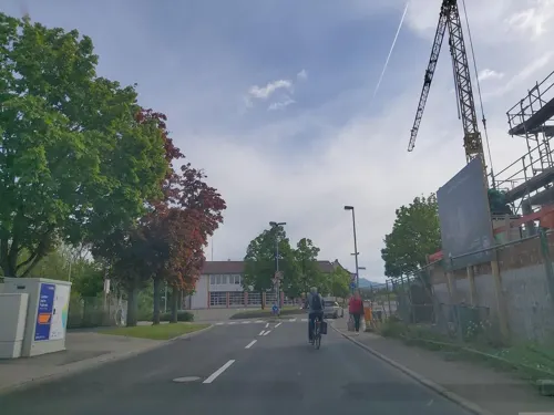
NABOO Restaurant - Cafe - Bar
Restaurant · German, Burger, Bowls · 0.7 km
55 Wilhelmstraße, Balingen
Mo 17:00-22:30, We,Th 11:30-22:30, Fr 11:30-01:00, Sa 09:00-01:00,...
Restaurant Reiterstube
Restaurant · Italian · 5.1 km
1 Sulzen, Bisingen
Tu-Sa 17:30-22:00; Su 11:30-14:00,17:30-22:00; Mo,PH off
genießBAR
Cafe · Cake, Breakfast, Coffee Shop
3 Färberstraße, Balingen
Tu-Fr 09:00-17:00; Sa 08:00-16:00; Su 12:00-17:00; Mo off



Bäckerei Schneckenburger
Bakery · 6.5 km
14 Bisinger Straße, Grosselfingen
Mo-Sa 06:00-19:00; Su 07:00-12:00
128 more on the map.
History
Balingen is first mentioned in 863. Initially a possession of the lords of Haigerloch, in 1162 Balingen was acquired by the count of Hohenberg. In the 13th century it received the title of city from Friedrich der Erlauchte, it was largely rebuilt on the left bank of the river Eyach.
The earliest signs of settlement in what is now the town area are the Alemannic terraced graves. However, Balingen did not initially serve as the town's center; according to historical records, it was established in 1255 by Count Friedrich von Zollern. The town was fortified before 1377.
In 1403 it was sold to the County of Württemberg, whose chancellor maintained a residence there until the 18th century. When the entire territory was sold to Württemberg, it led to the establishment of the administrative district known as "Amt Balingen." A legal officer took up residence in the official town, specifically in the castle built in 1372, and remained there until the mid-18th century. In 1973, Balingen became the seat of the newly formed district of Zollernalb, not least as a continuation of the old official town tradition.
From the History section of Balingen on Wikipedia, under CC BY-SA 4.0.
Where to stay9
Fremdenzimmer Metzgerei Balzer
Motel and hotel · 7.3 km
1 Brückenstraße, Dotternhausen
Churches and places of worship45
Romanische Weilerkirche
Church · Catholic · 6.3 km
1 Weiler, Haigerloch
Siechenkapelle
Church · Orthodoxe Kirchengemeinde Hl. Martin Von Tours
48 Tübinger Straße, Balingen
Shopping38
Gas and EV charging12
Schools, colleges and libraries34
Healthcare10
Map of Balingen
250 places. The map loads OpenStreetMap tiles when you open it.
Getting there and nearby towns
Manfred Rommel Airport Stuttgart (STR) is the nearest airport with scheduled flights listed in OpenStreetMap, 53 km away.
- Haigerloch 11 km north, about 11 min by car
- Hechingen 12 km northeast, about 12 min by car
- Meßstetten 13 km southeast, about 13 min by car
- Sulz am Neckar 19 km northwest, about 19 min by car
- Burladingen 19 km east, about 19 min by car
- Rottweil 21 km southwest, about 21 min by car
- Mössingen 21 km northeast, about 21 min by car
- Horb am Neckar 22 km northwest, about 22 min by car
- Spaichingen 24 km south, about 24 min by car
- Trossingen 27 km southwest, about 27 min by car
Drive times are estimates from straight-line distance, not routes.
Local news
Headlines from INDB.
Reviews, tips and questions
Loading what members have shared...
Sources and licences
- GeoNames (CC BY 4.0): population, coordinates, regions and time zone
- Mapillary (see each image): photos
- OpenStreetMap contributors (ODbL 1.0): places, airports, map data
- Wikidata (CC0 1.0): elevation, founding date, time zone, website, landmarks and historic places
- Wikimedia Commons (see each image): photos
- Wikipedia (CC BY-SA 4.0): overview and history text
Photo credits
- Balingen-Kernstadt-Hirschbergstrasse29343, Rainer Halama, CC BY-SA 4.0
- Balingen - Kernstadt - Friedhofkirche DSC3032, Rainer Halama, CC BY-SA 4.0
- Balingen-1999-Friedhofkirche-13-WUS-02235, Rainer Halama, CC BY-SA 4.0
- Balingen-Eyachstraße 21-WUS00344, Rainer Halama, CC BY-SA 4.0
- Gratweg, 1, Balingen, Zollernalbkreis, GeorgDerReisende, CC BY-SA 4.0
- Balingen-1999-Friedhofkirche-29-WUS-02263, Rainer Halama, CC BY-SA 4.0
- Hospital-Balingen-281210, FDV, CC BY-SA 3.0
- Balingen, Grab an der Mauer der Friedhofskirche (10), Karsten Ratzke, CC0
- Balingen-Friedhofkirche-WUS00343, Rainer Halama, CC BY-SA 4.0
- Im Zwinger, 1, Balingen, Zollernalbkreis, GeorgDerReisende, CC BY-SA 4.0
- Friedhofkirche Balingen 5020, Dionysos1970, CC BY-SA 4.0
- Balingen, Friedhof, Epitaph Friedrich Eckenfelder, Karsten Ratzke, CC0
- Balingen, Friedhofkirche, Epitaphe, Karsten Ratzke, CC0
- Balingen, Friedhof, Epitaph Theodor Mäulen, Karsten Ratzke, CC0
- Balingen, Grab an der Mauer der Friedhofskirche (8), Karsten Ratzke, CC0
- Balingen, Grab an der Mauer der Friedhofskirche (7), Karsten Ratzke, CC0
- Balingen-Friedhof-Grabmale-WUS00341, Rainer Halama, CC BY-SA 4.0
- Balingen, Grab an der Mauer der Friedhofskirche (1), Karsten Ratzke, CC0
- Balingen-Kernstadt-Friedhofkirche DSC3028, Rainer Halama, CC BY-SA 4.0
- Balingen-Friedhof-Grabmale-WUS00342, Rainer Halama, CC BY-SA 4.0
- Balingen, Grab an der Mauer der Friedhofskirche (9), Karsten Ratzke, CC0
- Balingen-Friedhofskirche-Epitaph-Maria Magdalena von Tierberg-S58-29351, Rainer Halama, CC BY-SA 3.0
- Orgel der Friedhofkirche Balingen, Olga Ernst, CC BY-SA 4.0
- Balingen-Friedhofskirche-Epitaph-S58-29345, Rainer Halama, CC BY-SA 3.0
- Innenansicht Friedhofkirche Balingen, Olga Ernst, CC BY-SA 4.0
- Balingen-Friedhofskirche-umgewidmetes Schwarzenberg-Epitaph-S58-29347, Rainer Halama, CC BY-SA 3.0
- Balingen-Friedhofskirche-Petter Schör von Schwarzenberg-Epitaph-Detail-S58-29346, Rainer Halama, CC BY-SA 3.0
- Balingen-Friedhofskirche-Epitaph-Maria Magdalena von Tierberg-S58-29348, Rainer Halama, CC BY-SA 3.0
- Balingen-Friedhofskirche-S58-29356, Rainer Halama, CC BY-SA 3.0
- Friedhofkirche Balingen, Olga Ernst, CC BY-SA 4.0
- Balingen-Friedhofskirche-Gedächtnistafe-S58-l29353, Rainer Halama, CC BY-SA 3.0
- Friedhofkirche in Balingen, Olga Ernst, CC BY-SA 4.0
- Orgel in der Friedhofkirche Balingen, Olga Ernst, CC BY-SA 4.0
- Balingen-Friedhofskirche-Grabstein Elisabeth von Ow-S58-29352, Rainer Halama, CC BY-SA 3.0
- Balingen-Friedhof-Grabmale-WUS00340, Rainer Halama, CC BY-SA 4.0
- Friedhofkirche Balingen 5025, Dionysos1970, CC BY-SA 4.0
- Balingen-1999-Stadtbefestigung-Auf dem Graben-22-WUS-02244, Rainer Halama, CC BY-SA 4.0
- Balingen-Friedhofkirche DSC3029, Rainer Halama, CC BY-SA 4.0
- Balingen-Stadtbefestigung-Vor dem Gerbertor-WUS00345, Rainer Halama, CC BY-SA 4.0
- Balingen-Stadtbefestigung-Vor dem Gerbertor-WUS00346, Rainer Halama, CC BY-SA 4.0
- Burg Hohenzollern ak, A. Kniesel (= User:-donald- ), Lauffen, CC BY-SA 3.0
- Balingen Zollernschloss, The original uploader was Lothar42 at German Wikipedia . Uploaded to Commons by User Sanbec on Wikimedia Commons, CC BY-SA 3.0
- Ortenberg, mih, Public domain
- Hirschberg-Hauff, Th. Weber, Public domain
- HörnleLochenstein, mih, Public domain
- Albtrauf, Thanheimer Steige, Heiligenkopf und Burg Hohenzollern, R-bitzer, CC BY-SA 3.0
- Hundsrücken2, mih, Public domain
- Berg und Ruine Wenzelstein (Schwäbische Alb) 01, Zollernalb, CC BY-SA 4.0
- Schafberg (Schwäbische Alb), V i c R a, CC BY-SA 3.0
- Weilerkirche Owingen17079, Rainer Halama, CC BY-SA 3.0
- Dotternhusen-Cottaschloss153575, Rainer Halama, CC BY-SA 3.0
- WLE-Baden Württemberg-Zollernalbkreis-9452, Rainer Halama, CC BY-SA 4.0
- WLE-Baden Württemberg-Zollernalbkreis-9182, Rainer Halama, CC BY-SA 4.0
- WLE-Baden Württemberg-Zollernalbkreis-9243, Rainer Halama, CC BY-SA 4.0
- Balingen-Kernstadt-Alte Hechinger Straße 16-168564, Rainer Halama, CC BY-SA 3.0 de
- Zollernschloss 60182, Rainer Halama, CC BY-SA 3.0
- Balingen-Zollernschloss-Waagenmuseum-S64-29429, Rainer Halama, CC BY-SA 3.0
- Balingen-Siechenkapelle-S59-11782, Rainer Halama, CC BY-SA 3.0
- Heilig-Geist-Kirche Balingen, Zollernalbkreis, Olga Ernst, CC BY-SA 4.0
- Sichelschule6542, Rainer Halama, CC BY-SA 3.0
- Zehnscheuer3388, Rainer Halama, CC BY 2.5
- Balingen-Weilstetten-Hauptstraße 22-Kirche169473, Rainer Halama, CC BY-SA 3.0 de
- Isingen (Rosenfeld) Martinskirche 733, GFreihalter, CC BY-SA 3.0
- Balingen - Ostdorf - Medarduskirche16974, Rainer Halama, CC BY-SA 3.0
- Balingen-Endingen-Am Wettbach 21-168597, Rainer Halama, CC BY-SA 3.0 de
- Frommern-Galluskirche11468 (cropped), Rainer Halama, CC BY-SA 3.0
- St. Martinus Dotternhausen 03, Tragopogon, CC BY 4.0
- Realschule Balingen Haupteingang, Czimm, CC BY-SA 4.0
- Landappbw 211600 1820 Kirche St. Matthäus Dormettingen, David, CC0
- Insektengarten, Gartenschau Balingen 2023, Olga Ernst, CC BY-SA 4.0
- Balingen-Weilstetten - Bühlburg16854, Rainer Halama, CC BY-SA 3.0
- Wenzelstein (Schwäbische Alb) bei Hausen am Tann, Olga Ernst, CC BY-SA 4.0
- Aussichtspunkt Böllat, Schwäbische Alb, Olga Ernst, CC BY-SA 4.0
- Schulverbund Frommern, Czimm, CC BY-SA 4.0
- Geislingen-Binsdorf-St. Markus-Frauenkloster-Schule5293, Rainer Halama, CC BY-SA 3.0
- Ausblick vom Albtraufgängerweg beim Hörnle 956 m ü. NN - panoramio (3), qwesy qwesy, CC BY 3.0
- Bizerba-Arena front, Gast09, CC BY-SA 4.0
- Street-level photo, KrebsRap, CC BY-SA 4.0
- Street-level photo, mfa, CC BY-SA 4.0
- Street-level photo, mfa, CC BY-SA 4.0
- Street-level photo, KrebsRap, CC BY-SA 4.0
- Street-level photo, tasmaniadevil, CC BY-SA 4.0
- Street-level photo, mfa, CC BY-SA 4.0
- Street-level photo, mfa, CC BY-SA 4.0
- Street-level photo, mfa, CC BY-SA 4.0
- Street-level photo, mfa, CC BY-SA 4.0
- Street-level photo, nvbwseifert, CC BY-SA 4.0
- Street-level photo, mfa, CC BY-SA 4.0
- Street-level photo, mfa, CC BY-SA 4.0
- Street-level photo, mfa, CC BY-SA 4.0
- Street-level photo, mfa, CC BY-SA 4.0
- Street-level photo, KrebsRap, CC BY-SA 4.0
- Street-level photo, KrebsRap, CC BY-SA 4.0
- Street-level photo, KrebsRap, CC BY-SA 4.0


Page built November 8, 2026. Spotted a mistake? Tell us or suggest a place.